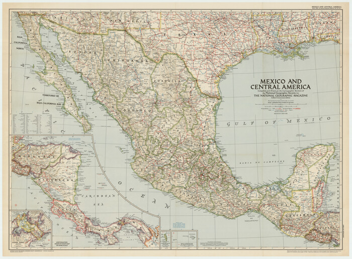
214 results

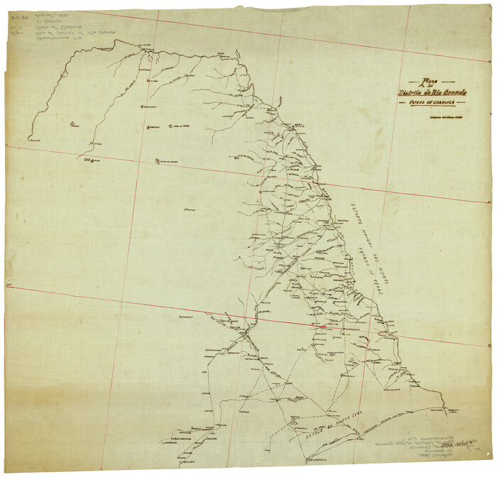
Plano del Distrilo de Rio Grande Estado de Coahuila
1941.tif
Print $20.00 - Digital $50.00

Plano del Distrilo de Rio Grande Estado de Coahuila

1906

Size: 30.3 x 31.5 inches
1941
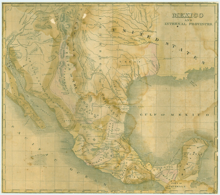
Mexico and Internal Provinces
76189.tif
Print $20.00

Mexico and Internal Provinces

1822

Size: 17.8 x 22.5 inches
76189
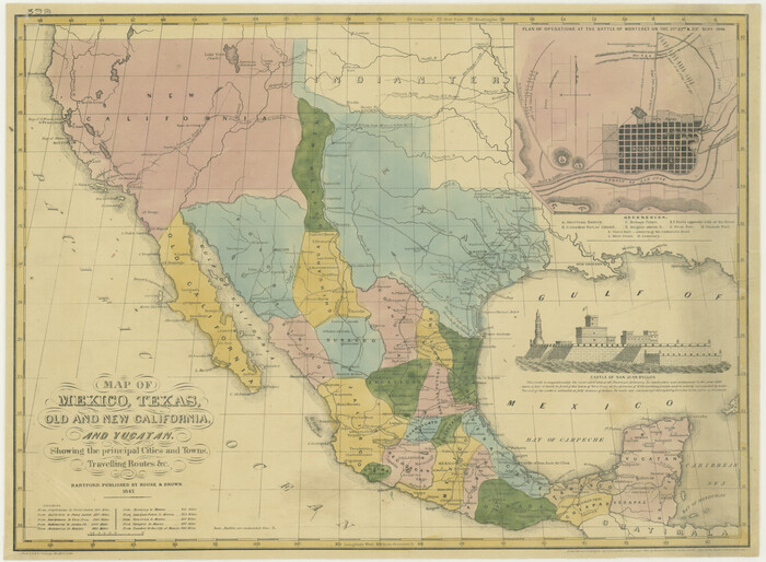
Map of Mexico, Texas, Old and New California, and Yucatan
76191.tif
Print $20.00

Map of Mexico, Texas, Old and New California, and Yucatan

1847

Size: 17.9 x 24.4 inches
76191
Mappa Geographica Regionem Mexicanam et Floridam, Terrasque adjacentes, ut et Anteriores Americae Insulas, Curfus itidem et Reditus Navigantuim verfus flumen Missisipi et alias Colonias ob oculos ponens, cura et fumptibus
76196.tif
Print $20.00

Mappa Geographica Regionem Mexicanam et Floridam, Terrasque adjacentes, ut et Anteriores Americae Insulas, Curfus itidem et Reditus Navigantuim verfus flumen Missisipi et alias Colonias ob oculos ponens, cura et fumptibus

1725

Size: 20.0 x 24.0 inches
76196
Map of Texas and the Countries Adjacent compiled in the Bureau of the Corps of Topographical Engineers from the Best Authorities
76197-2.tif
Print $20.00

Map of Texas and the Countries Adjacent compiled in the Bureau of the Corps of Topographical Engineers from the Best Authorities

1844

Size: 24.5 x 35.8 inches
76197
Special Map of the Great Southwest for Burke's Texas Almanac
76214.tif
Print $20.00

Special Map of the Great Southwest for Burke's Texas Almanac

1885
Size: 42.1 x 28.5 inches
76214
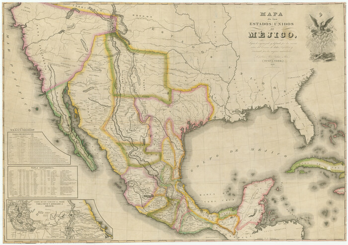
Mapa de los Estados Unidos de Méjico, Segun lo organizado y definido por las varias actas del Congreso de dicha Republica: y construido por las mejores autoridades
76217.tif
Print $20.00

Mapa de los Estados Unidos de Méjico, Segun lo organizado y definido por las varias actas del Congreso de dicha Republica: y construido por las mejores autoridades

1828

Size: 29.3 x 41.6 inches
76217
A Map of Louisiana and Mexico
76218.tif
Print $20.00

A Map of Louisiana and Mexico

1820

Size: 43.0 x 32.6 inches
76218
Map of the Republic of Mexico
76220.tif
Print $20.00

Map of the Republic of Mexico

1882

Size: 33.0 x 47.4 inches
76220
Mapa de los Estados Unidos de Méjico, Segun lo organizado y definido por las varias actas del Congreso de dicha Republica: y construido por las mejores autoridades
76221.tif
Print $20.00

Mapa de los Estados Unidos de Méjico, Segun lo organizado y definido por las varias actas del Congreso de dicha Republica: y construido por las mejores autoridades

1847

Size: 29.6 x 42.4 inches
76221
A Map of the Internal Provinces of New Spain
76234.tif
Print $20.00

A Map of the Internal Provinces of New Spain

1807

Size: 18.9 x 19.5 inches
76234
Central America Including Texas, California, and the Northern States Mexico
76273.tif
Print $20.00

Central America Including Texas, California, and the Northern States Mexico

1842
Size: 13.8 x 16.7 inches
76273
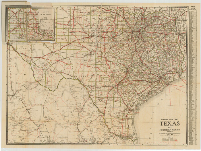
Clason's Guide Map Texas and Northern Mexico
76314.tif
Print $20.00

Clason's Guide Map Texas and Northern Mexico

1924
Size: 21.3 x 28.4 inches
76314
Mapa de los Estados Unidos Mejicanos
79291.tif
Print $20.00

Mapa de los Estados Unidos Mejicanos

1831

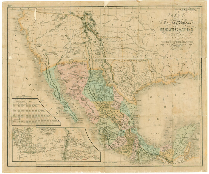
Size: 24.7 x 29.7 inches
79291
Mexico or New Spain
79313.tif
Print $20.00

Mexico or New Spain

1814

Size: 19.8 x 17.2 inches
79313
Carte Geographique, Statistique et Historique du Mexique
79315.tif
Print $20.00

Carte Geographique, Statistique et Historique du Mexique

1824

Size: 22.3 x 28.1 inches
79315
The Continent and Islands of the West Indies
79318.tif
Print $20.00

The Continent and Islands of the West Indies

1804
Size: 22.8 x 26.0 inches
79318
A Correct Map of the Seat of War in Mexico
79725.tif
Print $20.00

A Correct Map of the Seat of War in Mexico

1847
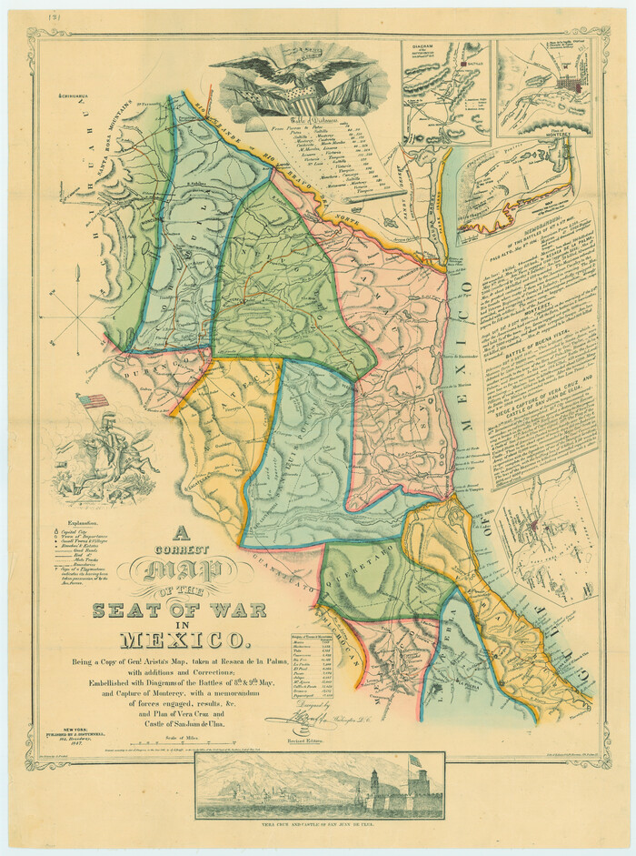
Size: 28.3 x 21.1 inches
79725
Mapa de los Estados Unidos de Méjico, Segun lo organizado y definido por las varias actas del Congreso de dicha Republica: y construido por las mejores autoridades
79727.tif
Print $20.00

Mapa de los Estados Unidos de Méjico, Segun lo organizado y definido por las varias actas del Congreso de dicha Republica: y construido por las mejores autoridades

1846
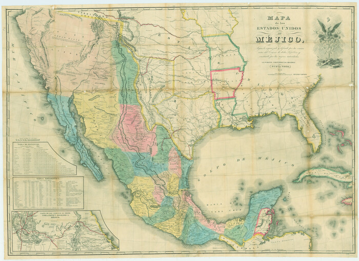
Size: 30.8 x 42.4 inches
79727
Mexico und Centro-America
79732.tif
Print $20.00

Mexico und Centro-America

1841

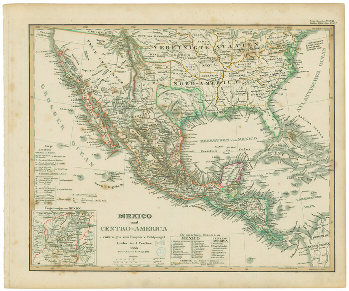
Size: 14.1 x 17.1 inches
79732
Mexico and Internal Provinces
79733.tif
Print $20.00

Mexico and Internal Provinces

1829

Size: 12.9 x 14.5 inches
79733
Carte du Mexique ou de la Nouvelle Espagne
79741.tif
Print $20.00

Carte du Mexique ou de la Nouvelle Espagne

1750
Size: 12.4 x 15.5 inches
79741
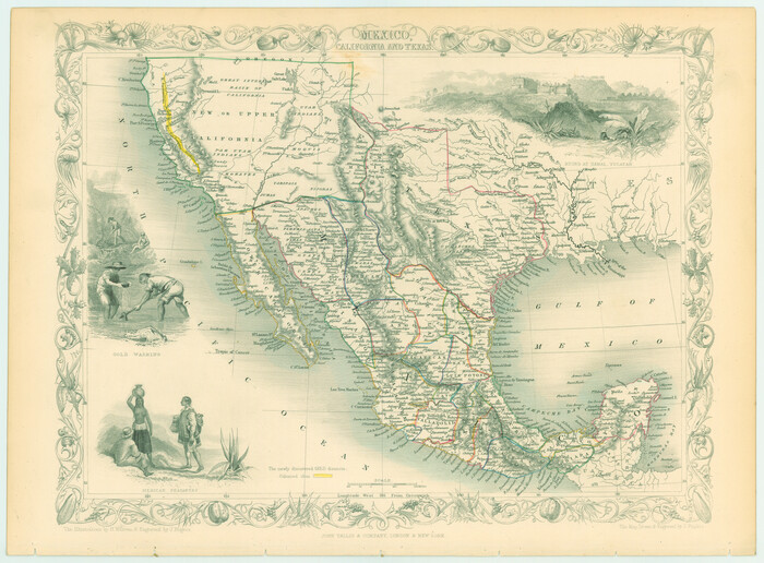
Mexico, California and Texas
82964.tif
Print $20.00

Mexico, California and Texas

1850

Size: 11.1 x 15.0 inches
82964
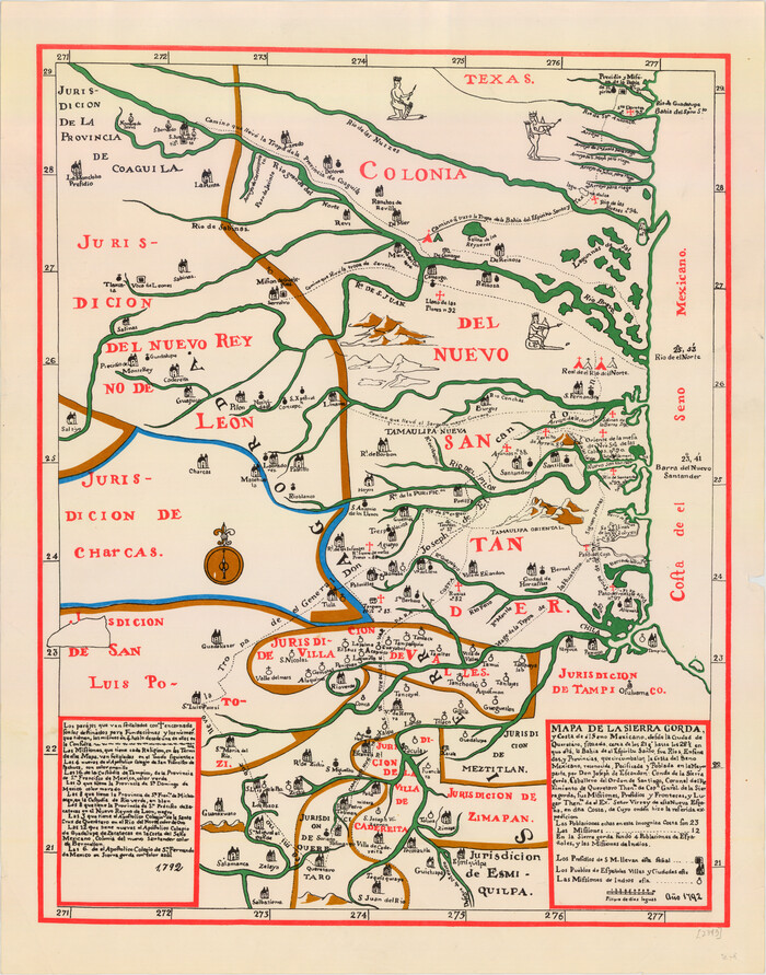
Mapa de la Sierra Gorda y costa del Seno Mexicano desde la ciudad de Querétaro hasta la Bahía del Espíritu Santo, sus rios, ensenadas y provincias pacificadas por Don José de Escandón
89047.tif
Print $20.00

Mapa de la Sierra Gorda y costa del Seno Mexicano desde la ciudad de Querétaro hasta la Bahía del Espíritu Santo, sus rios, ensenadas y provincias pacificadas por Don José de Escandón

1792

Size: 21.4 x 16.8 inches
89047
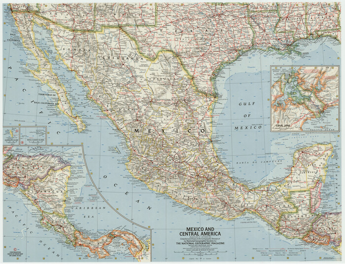
Mexico and Central America
92363-1.tif

Mexico and Central America

1961

Size: 25.5 x 19.3 inches
92363
Mexico and Central America
92391-1.tif

Mexico and Central America

1953

Size: 37.8 x 28.1 inches
92391
Regni Mexicani seu Novae Hispaniae, Ludovicianae, N. Angliae, Carolinae, Virginiae, et Pennsylvaniae
93408.tif
Print $20.00 - Digital $50.00

Regni Mexicani seu Novae Hispaniae, Ludovicianae, N. Angliae, Carolinae, Virginiae, et Pennsylvaniae

1720
Size: 22.5 x 26.5 inches
93408
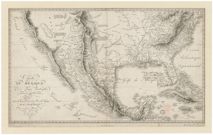
Carte du Mexique et des Pays Limitrophes Situés au Nord et à l'Est
93421.tif
Print $20.00 - Digital $50.00

Carte du Mexique et des Pays Limitrophes Situés au Nord et à l'Est

1811

Size: 17.5 x 29.0 inches
93421
Map of North America engraved to illustrate Mitchell's school and family geography
93493.tif
Print $20.00 - Digital $50.00

Map of North America engraved to illustrate Mitchell's school and family geography

1839
Size: 11.8 x 9.5 inches
93493
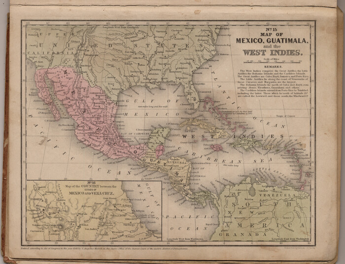
Map of Mexico, Guatimala and the West Indies (Inset: Map of the Country between the cities of Mexico and Vera Cruz)
93500.tif
Print $20.00 - Digital $50.00

Map of Mexico, Guatimala and the West Indies (Inset: Map of the Country between the cities of Mexico and Vera Cruz)

1849

Size: 9.5 x 11.8 inches
93500
Plano del Distrilo de Rio Grande Estado de Coahuila
1941, Plano del Distrilo de Rio Grande Estado de Coahuila, General Map Collection
Print $20.00 - Digital $50.00

Plano del Distrilo de Rio Grande Estado de Coahuila

1906

  • Size

    30.3 x 31.5 inches

  • Map/Doc

    1941

  • Creation Date

    1906

Mexico and Internal Provinces
76189, Mexico and Internal Provinces, Texas State Library and Archives
Print $20.00

Mexico and Internal Provinces

1822

  • Size

    17.8 x 22.5 inches

  • Map/Doc

    76189

  • Creation Date

    1822

Map of Mexico, Texas, Old and New California, and Yucatan
76191, Map of Mexico, Texas, Old and New California, and Yucatan, Texas State Library and Archives
Print $20.00

Map of Mexico, Texas, Old and New California, and Yucatan

1847

  • Size

    17.9 x 24.4 inches

  • Map/Doc

    76191

  • Creation Date

    1847

Mappa Geographica Regionem Mexicanam et Floridam, Terrasque adjacentes, ut et Anteriores Americae Insulas, Curfus itidem et Reditus Navigantuim verfus flumen Missisipi et alias Colonias ob oculos ponens, cura et fumptibus
76196, Mappa Geographica Regionem Mexicanam et Floridam, Terrasque adjacentes, ut et Anteriores Americae Insulas, Curfus itidem et Reditus Navigantuim verfus flumen Missisipi et alias Colonias ob oculos ponens, cura et fumptibus, Texas State Library and Archives
Print $20.00

Mappa Geographica Regionem Mexicanam et Floridam, Terrasque adjacentes, ut et Anteriores Americae Insulas, Curfus itidem et Reditus Navigantuim verfus flumen Missisipi et alias Colonias ob oculos ponens, cura et fumptibus

1725

  • Size

    20.0 x 24.0 inches

  • Map/Doc

    76196

  • Creation Date

    1725

Map of Texas and the Countries Adjacent compiled in the Bureau of the Corps of Topographical Engineers from the Best Authorities
76197, Map of Texas and the Countries Adjacent compiled in the Bureau of the Corps of Topographical Engineers from the Best Authorities, Texas State Library and Archives
Print $20.00

Map of Texas and the Countries Adjacent compiled in the Bureau of the Corps of Topographical Engineers from the Best Authorities

1844

  • Size

    24.5 x 35.8 inches

  • Map/Doc

    76197

  • Creation Date

    1844

Special Map of the Great Southwest for Burke's Texas Almanac
76214, Special Map of the Great Southwest for Burke's Texas Almanac, Texas State Library and Archives
Print $20.00

Special Map of the Great Southwest for Burke's Texas Almanac

1885

  • Size

    42.1 x 28.5 inches

  • Map/Doc

    76214

  • Creation Date

    1885

Mapa de los Estados Unidos de Méjico, Segun lo organizado y definido por las varias actas del Congreso de dicha Republica: y construido por las mejores autoridades
76217, Mapa de los Estados Unidos de Méjico, Segun lo organizado y definido por las varias actas del Congreso de dicha Republica: y construido por las mejores autoridades, Texas State Library and Archives
Print $20.00

Mapa de los Estados Unidos de Méjico, Segun lo organizado y definido por las varias actas del Congreso de dicha Republica: y construido por las mejores autoridades

1828

  • Size

    29.3 x 41.6 inches

  • Map/Doc

    76217

  • Creation Date

    1828

A Map of Louisiana and Mexico
76218, A Map of Louisiana and Mexico, Texas State Library and Archives
Print $20.00

A Map of Louisiana and Mexico

1820

  • Size

    43.0 x 32.6 inches

  • Map/Doc

    76218

  • Creation Date

    1820

Map of the Republic of Mexico
76220, Map of the Republic of Mexico, Texas State Library and Archives
Print $20.00

Map of the Republic of Mexico

1882

  • Size

    33.0 x 47.4 inches

  • Map/Doc

    76220

  • Creation Date

    1882

Mapa de los Estados Unidos de Méjico, Segun lo organizado y definido por las varias actas del Congreso de dicha Republica: y construido por las mejores autoridades
76221, Mapa de los Estados Unidos de Méjico, Segun lo organizado y definido por las varias actas del Congreso de dicha Republica: y construido por las mejores autoridades, Texas State Library and Archives
Print $20.00

Mapa de los Estados Unidos de Méjico, Segun lo organizado y definido por las varias actas del Congreso de dicha Republica: y construido por las mejores autoridades

1847

  • Size

    29.6 x 42.4 inches

  • Map/Doc

    76221

  • Creation Date

    1847

A Map of the Internal Provinces of New Spain
76234, A Map of the Internal Provinces of New Spain, Texas State Library and Archives
Print $20.00

A Map of the Internal Provinces of New Spain

1807

  • Size

    18.9 x 19.5 inches

  • Map/Doc

    76234

  • Creation Date

    1807

Central America Including Texas, California, and the Northern States Mexico
76273, Central America Including Texas, California, and the Northern States Mexico, Texas State Library and Archives
Print $20.00

Central America Including Texas, California, and the Northern States Mexico

1842

  • Size

    13.8 x 16.7 inches

  • Map/Doc

    76273

  • Creation Date

    1842

Clason's Guide Map Texas and Northern Mexico
76314, Clason's Guide Map Texas and Northern Mexico, Texas State Library and Archives
Print $20.00

Clason's Guide Map Texas and Northern Mexico

1924

  • Size

    21.3 x 28.4 inches

  • Map/Doc

    76314

  • Creation Date

    1924

Mapa de los Estados Unidos Mejicanos
79291, Mapa de los Estados Unidos Mejicanos, Texas State Library and Archives
Print $20.00

Mapa de los Estados Unidos Mejicanos

1831

  • Size

    24.7 x 29.7 inches

  • Map/Doc

    79291

  • Creation Date

    1831

Mexico or New Spain
79313, Mexico or New Spain, Texas State Library and Archives
Print $20.00

Mexico or New Spain

1814

  • Size

    19.8 x 17.2 inches

  • Map/Doc

    79313

  • Creation Date

    1814

Carte Geographique, Statistique et Historique du Mexique
79315, Carte Geographique, Statistique et Historique du Mexique, Texas State Library and Archives
Print $20.00

Carte Geographique, Statistique et Historique du Mexique

1824

  • Size

    22.3 x 28.1 inches

  • Map/Doc

    79315

  • Creation Date

    1824

The Continent and Islands of the West Indies
79318, The Continent and Islands of the West Indies, Texas State Library and Archives
Print $20.00

The Continent and Islands of the West Indies

1804

  • Size

    22.8 x 26.0 inches

  • Map/Doc

    79318

  • Creation Date

    1804

A Correct Map of the Seat of War in Mexico
79725, A Correct Map of the Seat of War in Mexico, Texas State Library and Archives
Print $20.00

A Correct Map of the Seat of War in Mexico

1847

  • Size

    28.3 x 21.1 inches

  • Map/Doc

    79725

  • Creation Date

    1847

Mapa de los Estados Unidos de Méjico, Segun lo organizado y definido por las varias actas del Congreso de dicha Republica: y construido por las mejores autoridades
79727, Mapa de los Estados Unidos de Méjico, Segun lo organizado y definido por las varias actas del Congreso de dicha Republica: y construido por las mejores autoridades, Texas State Library and Archives
Print $20.00

Mapa de los Estados Unidos de Méjico, Segun lo organizado y definido por las varias actas del Congreso de dicha Republica: y construido por las mejores autoridades

1846

  • Size

    30.8 x 42.4 inches

  • Map/Doc

    79727

  • Creation Date

    1846

Mexico und Centro-America
79732, Mexico und Centro-America, Texas State Library and Archives
Print $20.00

Mexico und Centro-America

1841

  • Size

    14.1 x 17.1 inches

  • Map/Doc

    79732

  • Creation Date

    1841

Mexico and Internal Provinces
79733, Mexico and Internal Provinces, Texas State Library and Archives
Print $20.00

Mexico and Internal Provinces

1829

  • Size

    12.9 x 14.5 inches

  • Map/Doc

    79733

  • Creation Date

    1829

Carte du Mexique ou de la Nouvelle Espagne
79741, Carte du Mexique ou de la Nouvelle Espagne, Texas State Library and Archives
Print $20.00

Carte du Mexique ou de la Nouvelle Espagne

1750

  • Size

    12.4 x 15.5 inches

  • Map/Doc

    79741

  • Creation Date

    1750

Mexico, California and Texas
82964, Mexico, California and Texas, Non-GLO Digital Images
Print $20.00

Mexico, California and Texas

1850

  • Size

    11.1 x 15.0 inches

  • Map/Doc

    82964

  • Creation Date

    1850

Mapa de la Sierra Gorda y costa del Seno Mexicano desde la ciudad de Querétaro hasta la Bahía del Espíritu Santo, sus rios, ensenadas y provincias pacificadas por Don José de Escandón
89047, Mapa de la Sierra Gorda y costa del Seno Mexicano desde la ciudad de Querétaro hasta la Bahía del Espíritu Santo, sus rios, ensenadas y provincias pacificadas por Don José de Escandón, Texas State Library and Archives
Print $20.00

Mapa de la Sierra Gorda y costa del Seno Mexicano desde la ciudad de Querétaro hasta la Bahía del Espíritu Santo, sus rios, ensenadas y provincias pacificadas por Don José de Escandón

1792

  • Size

    21.4 x 16.8 inches

  • Map/Doc

    89047

  • Creation Date

    1792

Mexico and Central America
92363, Mexico and Central America, Twichell Survey Records

Mexico and Central America

1961

  • Size

    25.5 x 19.3 inches

  • Map/Doc

    92363

  • Creation Date

    1961

Mexico and Central America
92391, Mexico and Central America, Twichell Survey Records

Mexico and Central America

1953

  • Size

    37.8 x 28.1 inches

  • Map/Doc

    92391

  • Creation Date

    1953

Regni Mexicani seu Novae Hispaniae, Ludovicianae, N. Angliae, Carolinae, Virginiae, et Pennsylvaniae
93408, Regni Mexicani seu Novae Hispaniae, Ludovicianae, N. Angliae, Carolinae, Virginiae, et Pennsylvaniae, General Map Collection - 1
Print $20.00 - Digital $50.00

Regni Mexicani seu Novae Hispaniae, Ludovicianae, N. Angliae, Carolinae, Virginiae, et Pennsylvaniae

1720

  • Size

    22.5 x 26.5 inches

  • Map/Doc

    93408

  • Creation Date

    1720

Carte du Mexique et des Pays Limitrophes Situés au Nord et à l'Est
93421, Carte du Mexique et des Pays Limitrophes Situés au Nord et à l'Est, General Map Collection
Print $20.00 - Digital $50.00

Carte du Mexique et des Pays Limitrophes Situés au Nord et à l'Est

1811

  • Size

    17.5 x 29.0 inches

  • Map/Doc

    93421

  • Creation Date

    1811

Map of North America engraved to illustrate Mitchell's school and family geography
93493, Map of North America engraved to illustrate Mitchell's school and family geography, General Map Collection
Print $20.00 - Digital $50.00

Map of North America engraved to illustrate Mitchell's school and family geography

1839

  • Size

    11.8 x 9.5 inches

  • Map/Doc

    93493

  • Creation Date

    1839

Map of Mexico, Guatimala and the West Indies (Inset: Map of the Country between the cities of Mexico and Vera Cruz)
93500, Map of Mexico, Guatimala and the West Indies (Inset: Map of the Country between the cities of Mexico and Vera Cruz), General Map Collection
Print $20.00 - Digital $50.00

Map of Mexico, Guatimala and the West Indies (Inset: Map of the Country between the cities of Mexico and Vera Cruz)

1849

  • Size

    9.5 x 11.8 inches

  • Map/Doc

    93500

  • Creation Date

    1849