202 results

Plano del Lago de Sn. Bernardo situado en la costa del N. del Seno Mexicano su entrada en la L. N. de 28° 24' y en la Long. de 278° 27' segun el Meridiano de Tenerife
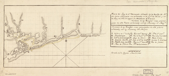
93616.tif
Print $20.00

Plano del Lago de Sn. Bernardo situado en la costa del N. del Seno Mexicano su entrada en la L. N. de 28° 24' y en la Long. de 278° 27' segun el Meridiano de Tenerife

Size: 7.9 x 17.3 inches
93616
Central America II. Including Texas, California and the Northern States of Mexico
93927.tif
Print $20.00 - Digital $50.00

Central America II. Including Texas, California and the Northern States of Mexico

Size: 14.1 x 16.7 inches
93927
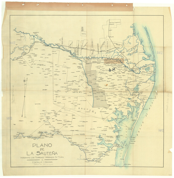
Plano de la Sauteña. Indicando los terrenos irrigados en Texas
94566.tif

Plano de la Sauteña. Indicando los terrenos irrigados en Texas

Size: 38.6 x 37.8 inches
94566
Mexico
95139.tif
Print $20.00 - Digital $50.00

Mexico

Size: 22.4 x 26.7 inches
95139
Map of the Mexican National R.R. "Laredo Route" and Connections. The Scenic Short Line to the City of Mexico
95145.tif
Print $20.00 - Digital $50.00

Map of the Mexican National R.R. "Laredo Route" and Connections. The Scenic Short Line to the City of Mexico

Size: 24.2 x 24.3 inches
95145
Map of the Mexican National R.R. "Laredo Route" and Connections. The Scenic Short Line to the City of Mexico
95146.tif
Print $20.00 - Digital $50.00

Map of the Mexican National R.R. "Laredo Route" and Connections. The Scenic Short Line to the City of Mexico

Size: 24.1 x 24.2 inches
95146
A Map of Mexico, Louisiana and the Missouri Territory, including also the State of Mississippi, Alabama Territory, East & West Florida, Georgia, South Carolina & part of the Island of Cuba
95312.tif
Print $40.00

A Map of Mexico, Louisiana and the Missouri Territory, including also the State of Mississippi, Alabama Territory, East & West Florida, Georgia, South Carolina & part of the Island of Cuba

Size: 66.9 x 64.2 inches
95312
Corpus Christi and Rio Grande Railway Company
95314.tif
Print $20.00

Corpus Christi and Rio Grande Railway Company

Size: 14.6 x 24.0 inches
95314
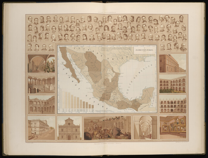
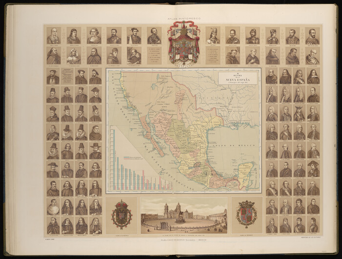
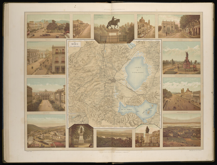
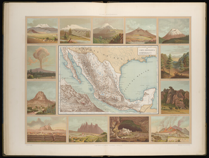
Atlas Geográfico, Estadístico é Histórico de la República Mexicana
Atlas Geografico, Estadistico e Historico de la Republica Mexicana

Atlas Geográfico, Estadístico é Histórico de la República Mexicana

95689
Geographical, Statistical, and Historical Map of Mexico
95694.tif
Print $20.00 - Digital $50.00

Geographical, Statistical, and Historical Map of Mexico

Size: 18.0 x 22.4 inches
95694
Map of the United States, the British Provinces, Mexico &c. Showing the Routes of the U.S. Mail Steam Packets to California and a Plan of the Gold Region
95695, Map of the United States, the British Provinces, Mexico &c. Showing the Routes of the U.S. Mail Steam Packets to California and a Plan of the Gold Region, General Map Collection
Print $20.00 - Digital $50.00

Map of the United States, the British Provinces, Mexico &c. Showing the Routes of the U.S. Mail Steam Packets to California and a Plan of the Gold Region

Size: 19.6 x 26.6 inches
95695
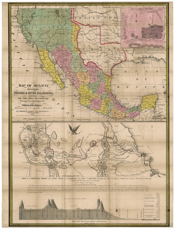
Map of Mexico, Including Yucatan & Upper California, exhibiting the Chief Cities and Towns, the Principal Travelling Routes &c.
95697-1.tif
Print $20.00 - Digital $50.00

Map of Mexico, Including Yucatan & Upper California, exhibiting the Chief Cities and Towns, the Principal Travelling Routes &c.

Size: 33.3 x 25.4 inches
95697
Map of the Mexican Central Railway and Connections
95742.tif
Print $20.00 - Digital $50.00

Map of the Mexican Central Railway and Connections

Size: 22.0 x 26.0 inches
95742
Plano General de los Ferrocarriles Nacionales de Mexico, F.C. Internacional Mexicano, F.C. Interoceanico de Mexico, F.C. Mexicano del sur y sus Conexiones
95743.tif
Print $20.00 - Digital $50.00

Plano General de los Ferrocarriles Nacionales de Mexico, F.C. Internacional Mexicano, F.C. Interoceanico de Mexico, F.C. Mexicano del sur y sus Conexiones

Size: 27.8 x 32.5 inches
95743
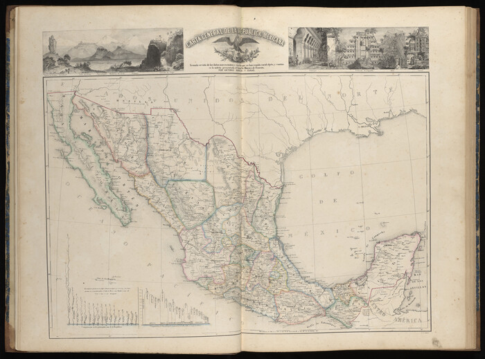
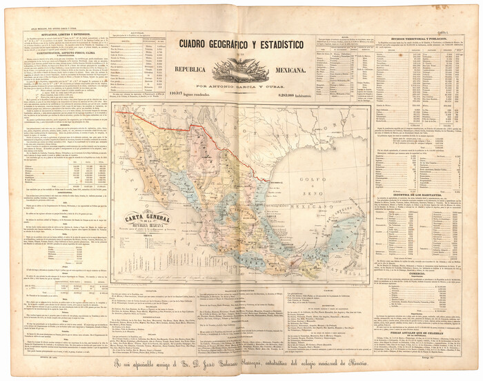
Carta General de la República Mexicana Formada para el estudio de la configuracion y division interior de su territorio
95823.tif
Print $20.00 - Digital $50.00

Carta General de la República Mexicana Formada para el estudio de la configuracion y division interior de su territorio

Size: 23.2 x 29.4 inches
95823
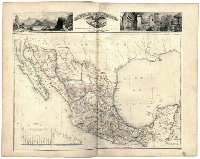
Carta General de la República Mexicana Formada en vista de los datos mas recientes y exactos que se han reunido con tal objeto, y constan en la noticia presentada al Exmo. Sr. Ministro de Fomento, por Antonio García y Cubas
95824.tif
Print $20.00 - Digital $50.00

Carta General de la República Mexicana Formada en vista de los datos mas recientes y exactos que se han reunido con tal objeto, y constan en la noticia presentada al Exmo. Sr. Ministro de Fomento, por Antonio García y Cubas

Size: 23.3 x 29.2 inches
95824
Mexicque, ou Nouvelle Espagne, Nouvelle Gallice, Iucatan & c. et autres Provinces jusques a L'Isthme de Panama; ou font les Audiences de Mexico, de Guadalaiara, et de Guatimala
95831.tif
Print $20.00 - Digital $50.00

Mexicque, ou Nouvelle Espagne, Nouvelle Gallice, Iucatan & c. et autres Provinces jusques a L'Isthme de Panama; ou font les Audiences de Mexico, de Guadalaiara, et de Guatimala

Size: 15.7 x 22.3 inches
95831
A Map of the United States of Mexico as organized and defined by the several Acts of the Congress of that Republic
95913.tif
Print $20.00 - Digital $50.00

A Map of the United States of Mexico as organized and defined by the several Acts of the Congress of that Republic

Size: 25.3 x 31.8 inches
95913
The Coast of New Spain from Neuva Vera Cruz to Triste Island
95919.tif
Print $20.00 - Digital $50.00

The Coast of New Spain from Neuva Vera Cruz to Triste Island

Size: 21.0 x 28.9 inches
95919
The Coast of Mexico from Laguna de Esmotes to Punta Brava
95920.tif
Print $20.00 - Digital $50.00

The Coast of Mexico from Laguna de Esmotes to Punta Brava

Size: 22.2 x 29.8 inches
95920
Le Vieux Mexique ou Nouvelle Espagne avec les costes de la Floride faisant partie de l'Amerique Septentrionale
95922.tif
Print $20.00 - Digital $50.00

Le Vieux Mexique ou Nouvelle Espagne avec les costes de la Floride faisant partie de l'Amerique Septentrionale

Size: 11.2 x 15.5 inches
95922
Le Golfe de Mexique, et les Provinces et Isles qui l'Environe comme sont la Floride au nord, le Mexique ou Nouvelle Espagne a l'ouest, la Terre-Ferme au sud, les Is. Antilles, Lucayes, St. Domingue et Jamaique a l'est
95923.tif
Print $20.00 - Digital $50.00

Le Golfe de Mexique, et les Provinces et Isles qui l'Environe comme sont la Floride au nord, le Mexique ou Nouvelle Espagne a l'ouest, la Terre-Ferme au sud, les Is. Antilles, Lucayes, St. Domingue et Jamaique a l'est

Size: 20.2 x 25.7 inches
95923
Cette Carte de Californie et du Nouveau Mexique est tiree de celle qui a ete envoyee par un grand d'Espagne pour etre communiquee a Mrs. de l'Academie Royale des Sciences
95924.tif
Print $20.00 - Digital $50.00

Cette Carte de Californie et du Nouveau Mexique est tiree de celle qui a ete envoyee par un grand d'Espagne pour etre communiquee a Mrs. de l'Academie Royale des Sciences

Size: 11.8 x 16.5 inches
95924
The Mesoamericans
95925.tif

The Mesoamericans

Size: 22.4 x 35.3 inches
95925
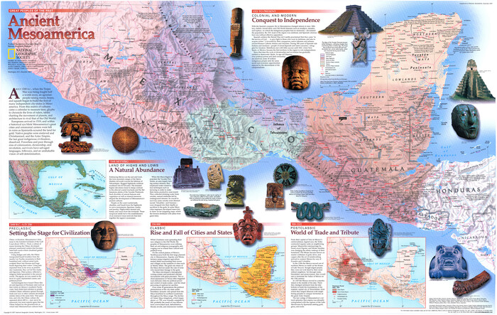
Ancient Mesoamerica
95926.tif

Ancient Mesoamerica

Size: 22.2 x 35.1 inches
95926
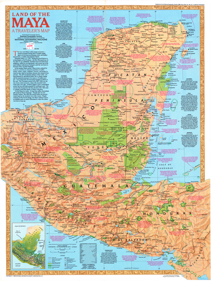
Land of the Maya, a Traveler's Map
95933.tif

Land of the Maya, a Traveler's Map

Size: 27.2 x 20.5 inches
95933
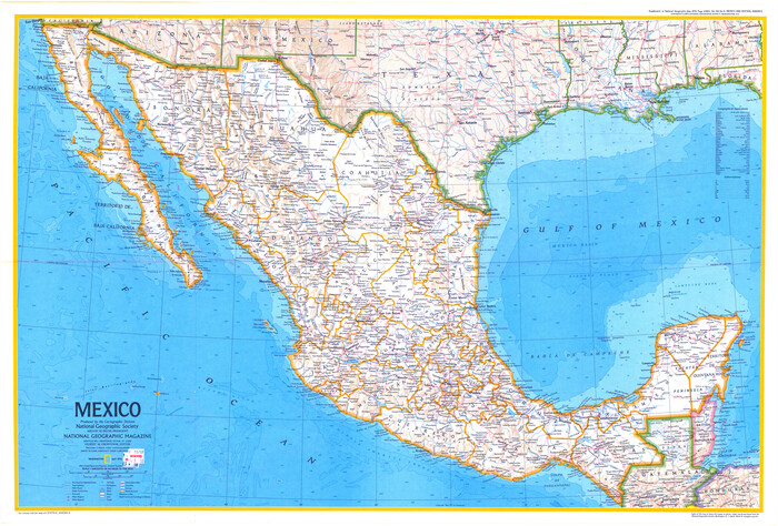
Mexico
95939.tif

Mexico

Size: 23.0 x 34.0 inches
95939
The Dividing Link - Mexico & Central America
95941.tif

The Dividing Link - Mexico & Central America

Size: 20.5 x 31.2 inches
95941
Mexico & Central America
95942.tif

Mexico & Central America

Size: 20.5 x 31.5 inches
95942
Mapa de los Estados Unidos Mejicanos arreglado a la distribucion que en diversos decretos ha hecho del territorio el Congreso General Mejicano
96514.tif
Print $20.00 - Digital $50.00

Mapa de los Estados Unidos Mejicanos arreglado a la distribucion que en diversos decretos ha hecho del territorio el Congreso General Mejicano

Size: 24.6 x 30.3 inches
96514
Plano del Lago de Sn. Bernardo situado en la costa del N. del Seno Mexicano su entrada en la L. N. de 28° 24' y en la Long. de 278° 27' segun el Meridiano de Tenerife
93616, Plano del Lago de Sn. Bernardo situado en la costa del N. del Seno Mexicano su entrada en la L. N. de 28° 24' y en la Long. de 278° 27' segun el Meridiano de Tenerife, Library of Congress
Print $20.00

Plano del Lago de Sn. Bernardo situado en la costa del N. del Seno Mexicano su entrada en la L. N. de 28° 24' y en la Long. de 278° 27' segun el Meridiano de Tenerife

  • Size

    7.9 x 17.3 inches

  • Map/Doc

    93616

Central America II. Including Texas, California and the Northern States of Mexico
93927, Central America II. Including Texas, California and the Northern States of Mexico, General Map Collection
Print $20.00 - Digital $50.00

Central America II. Including Texas, California and the Northern States of Mexico

  • Size

    14.1 x 16.7 inches

  • Map/Doc

    93927

Plano de la Sauteña. Indicando los terrenos irrigados en Texas
94566, Plano de la Sauteña. Indicando los terrenos irrigados en Texas, Non-GLO Digital Images

Plano de la Sauteña. Indicando los terrenos irrigados en Texas

  • Size

    38.6 x 37.8 inches

  • Map/Doc

    94566

Mexico
95139, Mexico, General Map Collection
Print $20.00 - Digital $50.00

Mexico

  • Size

    22.4 x 26.7 inches

  • Map/Doc

    95139

Map of the Mexican National R.R. "Laredo Route" and Connections. The Scenic Short Line to the City of Mexico
95145, Map of the Mexican National R.R. "Laredo Route" and Connections. The Scenic Short Line to the City of Mexico, General Map Collection
Print $20.00 - Digital $50.00

Map of the Mexican National R.R. "Laredo Route" and Connections. The Scenic Short Line to the City of Mexico

  • Size

    24.2 x 24.3 inches

  • Map/Doc

    95145

Map of the Mexican National R.R. "Laredo Route" and Connections. The Scenic Short Line to the City of Mexico
95146, Map of the Mexican National R.R. "Laredo Route" and Connections. The Scenic Short Line to the City of Mexico, General Map Collection
Print $20.00 - Digital $50.00

Map of the Mexican National R.R. "Laredo Route" and Connections. The Scenic Short Line to the City of Mexico

  • Size

    24.1 x 24.2 inches

  • Map/Doc

    95146

A Map of Mexico, Louisiana and the Missouri Territory, including also the State of Mississippi, Alabama Territory, East & West Florida, Georgia, South Carolina & part of the Island of Cuba
95312, A Map of Mexico, Louisiana and the Missouri Territory, including also the State of Mississippi, Alabama Territory, East & West Florida, Georgia, South Carolina & part of the Island of Cuba, Library of Congress
Print $40.00

A Map of Mexico, Louisiana and the Missouri Territory, including also the State of Mississippi, Alabama Territory, East & West Florida, Georgia, South Carolina & part of the Island of Cuba

  • Size

    66.9 x 64.2 inches

  • Map/Doc

    95312

Corpus Christi and Rio Grande Railway Company
95314, Corpus Christi and Rio Grande Railway Company, Library of Congress
Print $20.00

Corpus Christi and Rio Grande Railway Company

  • Size

    14.6 x 24.0 inches

  • Map/Doc

    95314

Atlas Geográfico, Estadístico é Histórico de la República Mexicana
Atlas Geografico, Estadistico e Historico de la Republica Mexicana

Atlas Geográfico, Estadístico é Histórico de la República Mexicana

  • Map/Doc

    95689

Geographical, Statistical, and Historical Map of Mexico
95694, Geographical, Statistical, and Historical Map of Mexico, General Map Collection
Print $20.00 - Digital $50.00

Geographical, Statistical, and Historical Map of Mexico

  • Size

    18.0 x 22.4 inches

  • Map/Doc

    95694

Map of the United States, the British Provinces, Mexico &c. Showing the Routes of the U.S. Mail Steam Packets to California and a Plan of the Gold Region
95695, Map of the United States, the British Provinces, Mexico &c. Showing the Routes of the U.S. Mail Steam Packets to California and a Plan of the Gold Region, General Map Collection
Print $20.00 - Digital $50.00

Map of the United States, the British Provinces, Mexico &c. Showing the Routes of the U.S. Mail Steam Packets to California and a Plan of the Gold Region

  • Size

    19.6 x 26.6 inches

  • Map/Doc

    95695

Map of Mexico, Including Yucatan & Upper California, exhibiting the Chief Cities and Towns, the Principal Travelling Routes &c.
95697, Map of Mexico, Including Yucatan & Upper California, exhibiting the Chief Cities and Towns, the Principal Travelling Routes &c., General Map Collection
Print $20.00 - Digital $50.00

Map of Mexico, Including Yucatan & Upper California, exhibiting the Chief Cities and Towns, the Principal Travelling Routes &c.

  • Size

    33.3 x 25.4 inches

  • Map/Doc

    95697

Map of the Mexican Central Railway and Connections
95742, Map of the Mexican Central Railway and Connections, General Map Collection - 1
Print $20.00 - Digital $50.00

Map of the Mexican Central Railway and Connections

  • Size

    22.0 x 26.0 inches

  • Map/Doc

    95742

Plano General de los Ferrocarriles Nacionales de Mexico, F.C. Internacional Mexicano, F.C. Interoceanico de Mexico, F.C. Mexicano del sur y sus Conexiones
95743, Plano General de los Ferrocarriles Nacionales de Mexico, F.C. Internacional Mexicano, F.C. Interoceanico de Mexico, F.C. Mexicano del sur y sus Conexiones, General Map Collection - 1
Print $20.00 - Digital $50.00

Plano General de los Ferrocarriles Nacionales de Mexico, F.C. Internacional Mexicano, F.C. Interoceanico de Mexico, F.C. Mexicano del sur y sus Conexiones

  • Size

    27.8 x 32.5 inches

  • Map/Doc

    95743

Carta General de la República Mexicana Formada para el estudio de la configuracion y division interior de su territorio
95823, Carta General de la República Mexicana Formada para el estudio de la configuracion y division interior de su territorio, General Map Collection
Print $20.00 - Digital $50.00

Carta General de la República Mexicana Formada para el estudio de la configuracion y division interior de su territorio

  • Size

    23.2 x 29.4 inches

  • Map/Doc

    95823

Carta General de la República Mexicana Formada en vista de los datos mas recientes y exactos que se han reunido con tal objeto, y constan en la noticia presentada al Exmo. Sr. Ministro de Fomento, por Antonio García y Cubas
95824, Carta General de la República Mexicana Formada en vista de los datos mas recientes y exactos que se han reunido con tal objeto, y constan en la noticia presentada al Exmo. Sr. Ministro de Fomento, por Antonio García y Cubas, General Map Collection
Print $20.00 - Digital $50.00

Carta General de la República Mexicana Formada en vista de los datos mas recientes y exactos que se han reunido con tal objeto, y constan en la noticia presentada al Exmo. Sr. Ministro de Fomento, por Antonio García y Cubas

  • Size

    23.3 x 29.2 inches

  • Map/Doc

    95824

Mexicque, ou Nouvelle Espagne, Nouvelle Gallice, Iucatan & c. et autres Provinces jusques a L'Isthme de Panama; ou font les Audiences de Mexico, de Guadalaiara, et de Guatimala
95831, Mexicque, ou Nouvelle Espagne, Nouvelle Gallice, Iucatan & c. et autres Provinces jusques a L'Isthme de Panama; ou font les Audiences de Mexico, de Guadalaiara, et de Guatimala, General Map Collection
Print $20.00 - Digital $50.00

Mexicque, ou Nouvelle Espagne, Nouvelle Gallice, Iucatan & c. et autres Provinces jusques a L'Isthme de Panama; ou font les Audiences de Mexico, de Guadalaiara, et de Guatimala

  • Size

    15.7 x 22.3 inches

  • Map/Doc

    95831

A Map of the United States of Mexico as organized and defined by the several Acts of the Congress of that Republic
95913, A Map of the United States of Mexico as organized and defined by the several Acts of the Congress of that Republic, General Map Collection
Print $20.00 - Digital $50.00

A Map of the United States of Mexico as organized and defined by the several Acts of the Congress of that Republic

  • Size

    25.3 x 31.8 inches

  • Map/Doc

    95913

The Coast of New Spain from Neuva Vera Cruz to Triste Island
95919, The Coast of New Spain from Neuva Vera Cruz to Triste Island, General Map Collection
Print $20.00 - Digital $50.00

The Coast of New Spain from Neuva Vera Cruz to Triste Island

  • Size

    21.0 x 28.9 inches

  • Map/Doc

    95919

The Coast of Mexico from Laguna de Esmotes to Punta Brava
95920, The Coast of Mexico from Laguna de Esmotes to Punta Brava, General Map Collection
Print $20.00 - Digital $50.00

The Coast of Mexico from Laguna de Esmotes to Punta Brava

  • Size

    22.2 x 29.8 inches

  • Map/Doc

    95920

Le Vieux Mexique ou Nouvelle Espagne avec les costes de la Floride faisant partie de l'Amerique Septentrionale
95922, Le Vieux Mexique ou Nouvelle Espagne avec les costes de la Floride faisant partie de l'Amerique Septentrionale, General Map Collection
Print $20.00 - Digital $50.00

Le Vieux Mexique ou Nouvelle Espagne avec les costes de la Floride faisant partie de l'Amerique Septentrionale

  • Size

    11.2 x 15.5 inches

  • Map/Doc

    95922

Le Golfe de Mexique, et les Provinces et Isles qui l'Environe comme sont la Floride au nord, le Mexique ou Nouvelle Espagne a l'ouest, la Terre-Ferme au sud, les Is. Antilles, Lucayes, St. Domingue et Jamaique a l'est
95923, Le Golfe de Mexique, et les Provinces et Isles qui l'Environe comme sont la Floride au nord, le Mexique ou Nouvelle Espagne a l'ouest, la Terre-Ferme au sud, les Is. Antilles, Lucayes, St. Domingue et Jamaique a l'est, General Map Collection
Print $20.00 - Digital $50.00

Le Golfe de Mexique, et les Provinces et Isles qui l'Environe comme sont la Floride au nord, le Mexique ou Nouvelle Espagne a l'ouest, la Terre-Ferme au sud, les Is. Antilles, Lucayes, St. Domingue et Jamaique a l'est

  • Size

    20.2 x 25.7 inches

  • Map/Doc

    95923

Cette Carte de Californie et du Nouveau Mexique est tiree de celle qui a ete envoyee par un grand d'Espagne pour etre communiquee a Mrs. de l'Academie Royale des Sciences
95924, Cette Carte de Californie et du Nouveau Mexique est tiree de celle qui a ete envoyee par un grand d'Espagne pour etre communiquee a Mrs. de l'Academie Royale des Sciences, General Map Collection
Print $20.00 - Digital $50.00

Cette Carte de Californie et du Nouveau Mexique est tiree de celle qui a ete envoyee par un grand d'Espagne pour etre communiquee a Mrs. de l'Academie Royale des Sciences

  • Size

    11.8 x 16.5 inches

  • Map/Doc

    95924

The Mesoamericans
95925, The Mesoamericans, General Map Collection

The Mesoamericans

  • Size

    22.4 x 35.3 inches

  • Map/Doc

    95925

Ancient Mesoamerica
95926, Ancient Mesoamerica, General Map Collection

Ancient Mesoamerica

  • Size

    22.2 x 35.1 inches

  • Map/Doc

    95926

Land of the Maya, a Traveler's Map
95933, Land of the Maya, a Traveler's Map, General Map Collection

Land of the Maya, a Traveler's Map

  • Size

    27.2 x 20.5 inches

  • Map/Doc

    95933

Mexico
95939, Mexico, General Map Collection

Mexico

  • Size

    23.0 x 34.0 inches

  • Map/Doc

    95939

The Dividing Link - Mexico & Central America
95941, The Dividing Link - Mexico & Central America, General Map Collection

The Dividing Link - Mexico & Central America

  • Size

    20.5 x 31.2 inches

  • Map/Doc

    95941

Mexico & Central America
95942, Mexico & Central America, General Map Collection

Mexico & Central America

  • Size

    20.5 x 31.5 inches

  • Map/Doc

    95942

Mapa de los Estados Unidos Mejicanos arreglado a la distribucion que en diversos decretos ha hecho del territorio el Congreso General Mejicano
96514, Mapa de los Estados Unidos Mejicanos arreglado a la distribucion que en diversos decretos ha hecho del territorio el Congreso General Mejicano, General Map Collection
Print $20.00 - Digital $50.00

Mapa de los Estados Unidos Mejicanos arreglado a la distribucion que en diversos decretos ha hecho del territorio el Congreso General Mejicano

  • Size

    24.6 x 30.3 inches

  • Map/Doc

    96514