
Disputed Territory Between Mexico and the United States
2024

Disputed Territory Between Mexico and the United States
2023

Northern Mexico Campaign of the U.S. - Mexico War
2023

Visitor's Guide to the Aztec World
1980
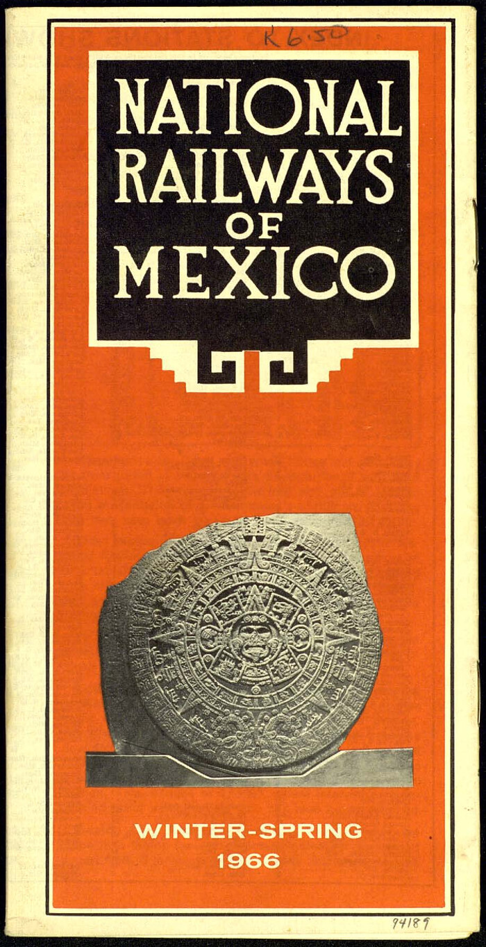
National Railways of Mexico
1966
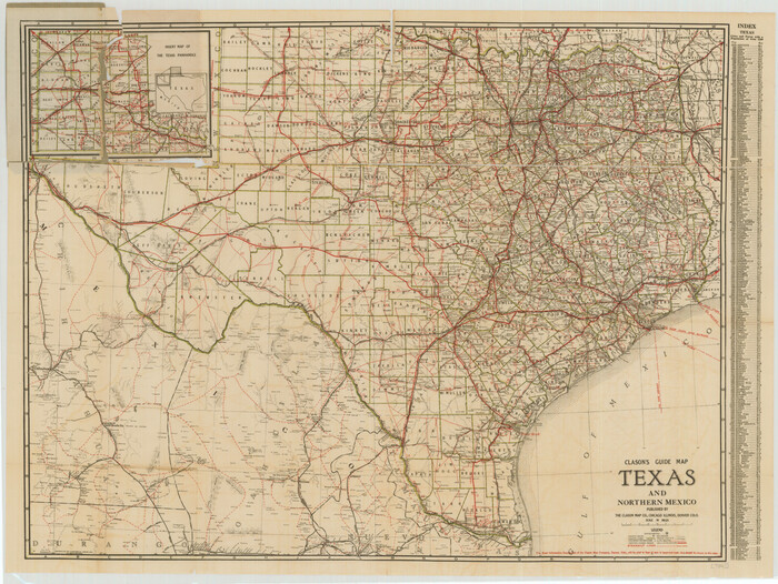
Clason's Guide Map Texas and Northern Mexico
1924
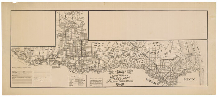
Map showing lines of march and border patrols, in my Mexican Border Service, 1916-1917
1916

Plano General de los Ferrocarriles Nacionales de Mexico, F.C. Internacional Mexicano, F.C. Interoceanico de Mexico, F.C. Mexicano del sur y sus Conexiones
1910
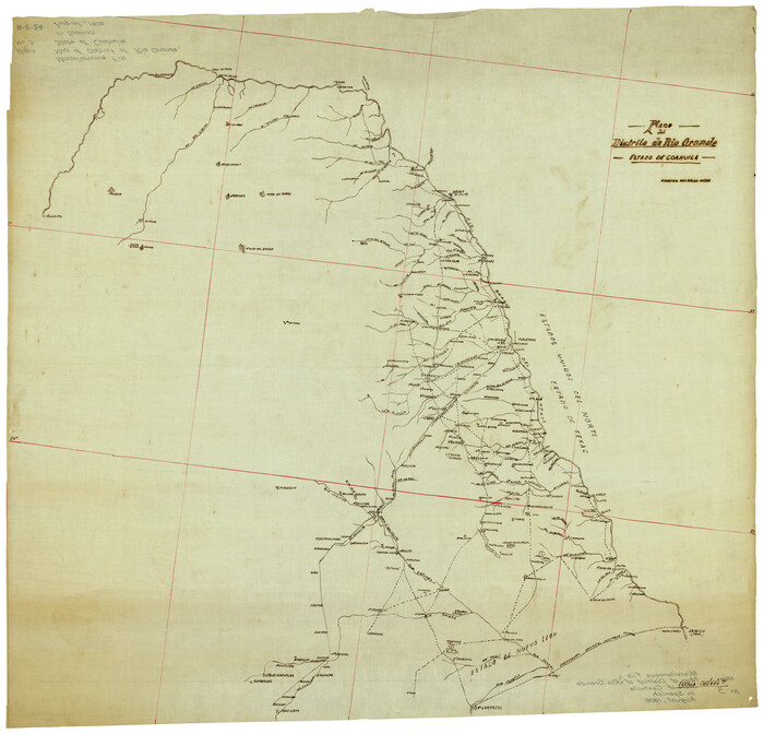
Plano del Distrilo de Rio Grande Estado de Coahuila
1906

Map of the Mexican National R.R. "Laredo Route" and Connections. The Scenic Short Line to the City of Mexico
1901
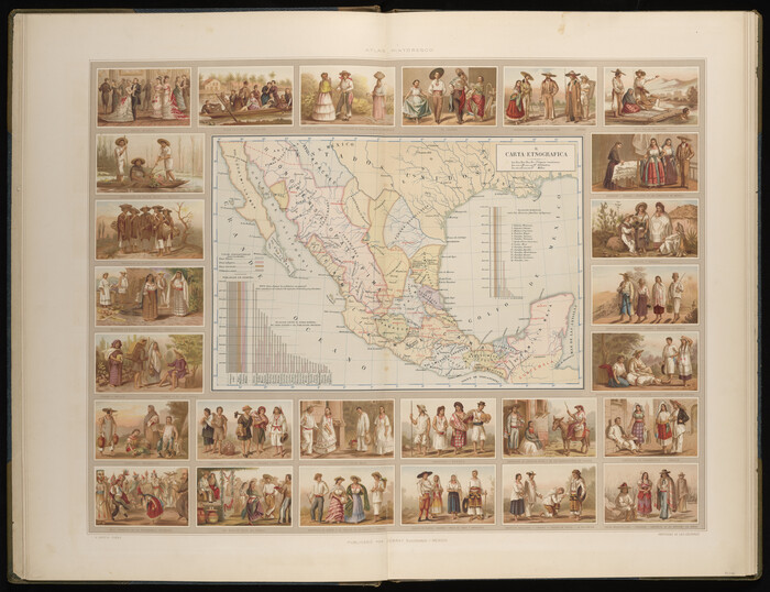
Carta Etnografica
1897

Carta Eclesiastica
1897

Carta Hidrografica
1897
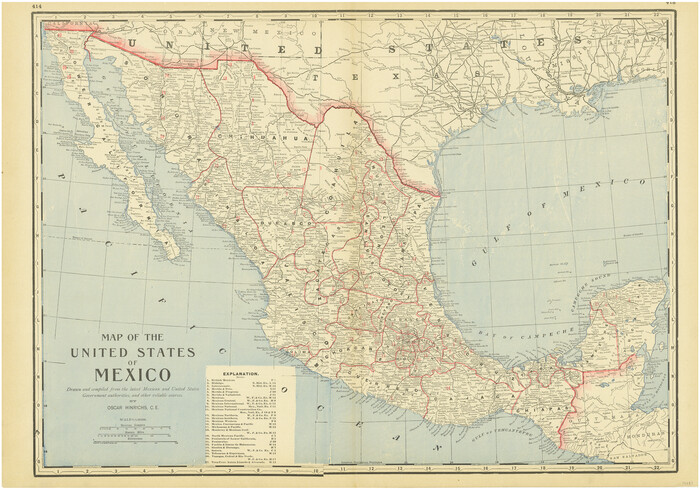
Map of the United States of Mexico drawn and compiled from the latest Mexican and United States Government authorities, and other reliable sources
1895
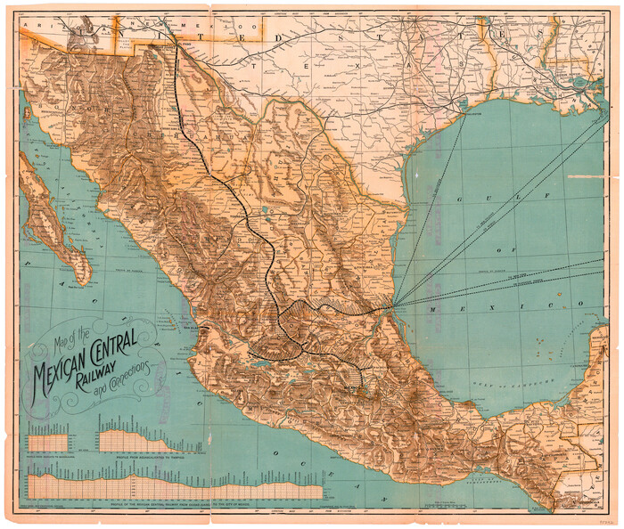
Map of the Mexican Central Railway and Connections
1892

Special Map of the Great Southwest for Burke's Texas Almanac
1885
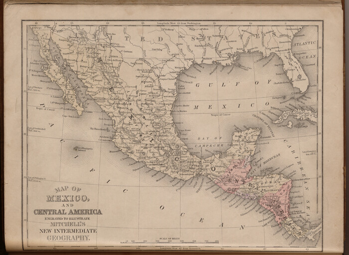
Map of Mexico and Central America engraved to illustrate Mitchell's new intermediate geography
1885

Reyno de la Nueva España a Principios del Siglo XIX
1885

Map of the Republic of Mexico
1882

Map of the Mexican National Railway showing the lines granted by the Mexican Government to the Mexican National Construction Company (Palmer-Sullivan Concession)
1881
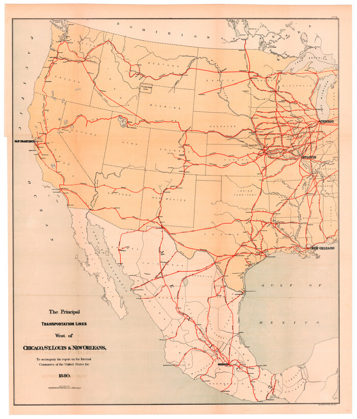
The Principal Transportation Lines west of Chicago, St. Louis, & New Orleans, to accompany the report on the Internal Commerce of the United States for 1880
1880

Mexico Comision Pesquisidora de la Frontera del Norte
1874

Mapa del Rio Grande desde su Desembocadura en el Golfo hasta San Vicente, Presidio Antíguo
1873

Disputed Territory Between Mexico and the United States
2024
-
Size
10.7 x 7.9 inches
-
Map/Doc
97251
-
Creation Date
2024

Disputed Territory Between Mexico and the United States
2023
-
Size
11.0 x 8.5 inches
-
Map/Doc
97129
-
Creation Date
2023

Northern Mexico Campaign of the U.S. - Mexico War
2023
-
Size
8.5 x 11.0 inches
-
Map/Doc
97152
-
Creation Date
2023

Visitor's Guide to the Aztec World
1980
-
Size
20.3 x 25.9 inches
-
Map/Doc
96833
-
Creation Date
1980

Mexico and Central America
1980
-
Size
20.1 x 25.8 inches
-
Map/Doc
96834
-
Creation Date
1980

National Railways of Mexico
1966
-
Size
8.9 x 17.6 inches
-
Map/Doc
94189
-
Creation Date
1966
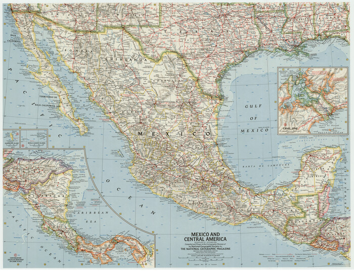
Mexico and Central America
1961
-
Size
25.5 x 19.3 inches
-
Map/Doc
92363
-
Creation Date
1961
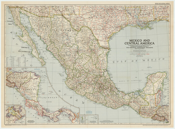
Mexico and Central America
1953
-
Size
37.8 x 28.1 inches
-
Map/Doc
92391
-
Creation Date
1953

Clason's Guide Map Texas and Northern Mexico
1924
-
Size
21.3 x 28.4 inches
-
Map/Doc
76314
-
Creation Date
1924

Map showing lines of march and border patrols, in my Mexican Border Service, 1916-1917
1916
-
Size
18.7 x 41.7 inches
-
Map/Doc
95822
-
Creation Date
1916

Plano General de los Ferrocarriles Nacionales de Mexico, F.C. Internacional Mexicano, F.C. Interoceanico de Mexico, F.C. Mexicano del sur y sus Conexiones
1910
-
Size
27.8 x 32.5 inches
-
Map/Doc
95743
-
Creation Date
1910

Plano del Distrilo de Rio Grande Estado de Coahuila
1906
-
Size
30.3 x 31.5 inches
-
Map/Doc
1941
-
Creation Date
1906

Map of the Mexican National R.R. "Laredo Route" and Connections. The Scenic Short Line to the City of Mexico
1901
-
Size
24.2 x 24.3 inches
-
Map/Doc
95145
-
Creation Date
1901

Carta Politica
1897
-
Size
26.2 x 34.1 inches
-
Map/Doc
96797
-
Creation Date
1897

Carta Etnografica
1897
-
Size
26.2 x 34.1 inches
-
Map/Doc
96798
-
Creation Date
1897

Carta Eclesiastica
1897
-
Size
26.1 x 34.1 inches
-
Map/Doc
96799
-
Creation Date
1897

Carta Hidrografica
1897
-
Size
26.0 x 34.3 inches
-
Map/Doc
96803
-
Creation Date
1897

Carta Agricola
1897
-
Size
26.0 x 34.3 inches
-
Map/Doc
96804
-
Creation Date
1897

Map of the United States of Mexico drawn and compiled from the latest Mexican and United States Government authorities, and other reliable sources
1895
-
Size
17.3 x 24.8 inches
-
Map/Doc
94083
-
Creation Date
1895

Map of the Mexican Central Railway and Connections
1892
-
Size
22.0 x 26.0 inches
-
Map/Doc
95742
-
Creation Date
1892
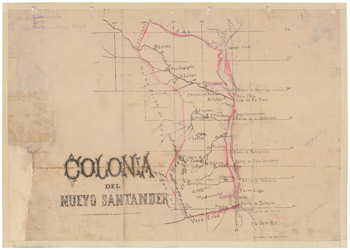
Colonia del Nuevo Santander
1889
-
Size
13.6 x 19.0 inches
-
Map/Doc
94557
-
Creation Date
1889

Special Map of the Great Southwest for Burke's Texas Almanac
1885
-
Size
42.1 x 28.5 inches
-
Map/Doc
76214
-
Creation Date
1885

Map of Mexico and Central America engraved to illustrate Mitchell's new intermediate geography
1885
-
Size
9.0 x 12.2 inches
-
Map/Doc
93523
-
Creation Date
1885

Reyno de la Nueva España a Principios del Siglo XIX
1885
-
Size
25.6 x 32.7 inches
-
Map/Doc
93751
-
Creation Date
1885

Map of the Republic of Mexico
1882
-
Size
33.0 x 47.4 inches
-
Map/Doc
76220
-
Creation Date
1882

Map of the Mexican National Railway showing the lines granted by the Mexican Government to the Mexican National Construction Company (Palmer-Sullivan Concession)
1881
-
Size
26.8 x 40.6 inches
-
Map/Doc
95315
-
Creation Date
1881

The Principal Transportation Lines west of Chicago, St. Louis, & New Orleans, to accompany the report on the Internal Commerce of the United States for 1880
1880
-
Size
26.7 x 22.7 inches
-
Map/Doc
95906
-
Creation Date
1880

Mexico Comision Pesquisidora de la Frontera del Norte
1874
-
Map/Doc
97125
-
Creation Date
1874

Mapa del Rio Grande desde su Desembocadura en el Golfo hasta San Vicente, Presidio Antíguo
1873
-
Size
38.1 x 32.3 inches
-
Map/Doc
97126
-
Creation Date
1873
