Angelina County Sketch File 28a
[Report by William H. Leckie regarding section no. 3, A. C. H. & B. and no. 4, N.D. Wright]
-
Map/Doc
13080
-
Collection
General Map Collection
-
Object Dates
1910/10/29 (Creation Date)
1910/12/12 (File Date)
-
People and Organizations
W.H. Leckie (Surveyor/Engineer)
-
Counties
Angelina
-
Subjects
Surveying Sketch File
-
Height x Width
6.8 x 8.7 inches
17.3 x 22.1 cm
-
Medium
paper, print
-
Comments
See Angelina County Sketch File 28 (13078) for sketch.
-
Features
Neches River
Old River
New River
Related maps
Angelina County Sketch File 28


Print $22.00
- Digital $50.00
Angelina County Sketch File 28
1910
Size 15.7 x 12.0 inches
Map/Doc 13078
Part of: General Map Collection
Jefferson County Working Sketch 26


Print $20.00
- Digital $50.00
Jefferson County Working Sketch 26
1977
Size 39.9 x 36.8 inches
Map/Doc 66569
Midland County Sketch File 5


Print $2.00
- Digital $50.00
Midland County Sketch File 5
Size 8.4 x 3.5 inches
Map/Doc 31575
Wood County Working Sketch 22


Print $20.00
- Digital $50.00
Wood County Working Sketch 22
1962
Size 45.9 x 36.6 inches
Map/Doc 62022
Armstrong County Boundary File 1 and 1a

Print $10.00
- Digital $50.00
Armstrong County Boundary File 1 and 1a
Size 9.0 x 8.1 inches
Map/Doc 50121
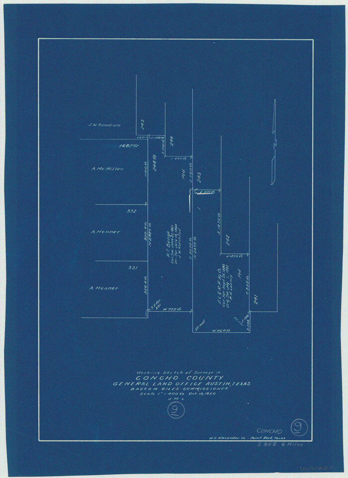
Concho County Working Sketch 9

Print $20.00
- Digital $50.00
Concho County Working Sketch 9
1950
Size 20.0 x 14.6 inches
Map/Doc 68191
Kinney County Working Sketch 1


Print $20.00
- Digital $50.00
Kinney County Working Sketch 1
Size 22.6 x 24.0 inches
Map/Doc 70183
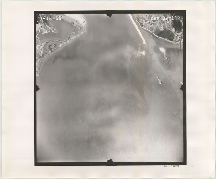
Flight Mission No. CRK-8P, Frame 118, Refugio County

Print $20.00
- Digital $50.00
Flight Mission No. CRK-8P, Frame 118, Refugio County
1956
Size 18.3 x 22.1 inches
Map/Doc 86973
Old Miscellaneous File 5
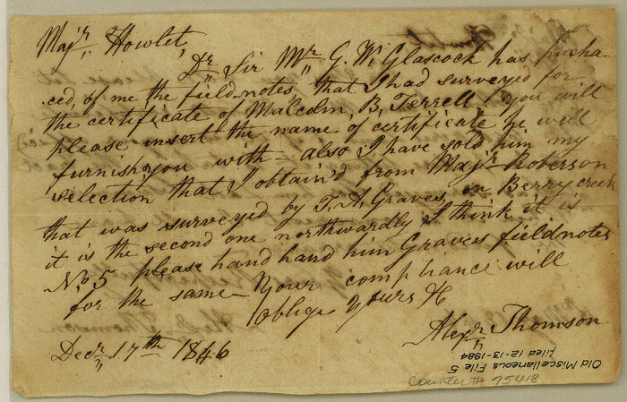

Print $4.00
- Digital $50.00
Old Miscellaneous File 5
1846
Size 4.8 x 7.6 inches
Map/Doc 75418
Louisiana and Texas Intracoastal Waterway - Matagorda-Espiritu Santo and San Antonio Bays, Section 8-9, Survey of 1927-8 - Index Sheet 3
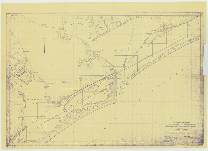

Print $20.00
- Digital $50.00
Louisiana and Texas Intracoastal Waterway - Matagorda-Espiritu Santo and San Antonio Bays, Section 8-9, Survey of 1927-8 - Index Sheet 3
1929
Size 31.0 x 42.8 inches
Map/Doc 61837
Wise County Fannin District
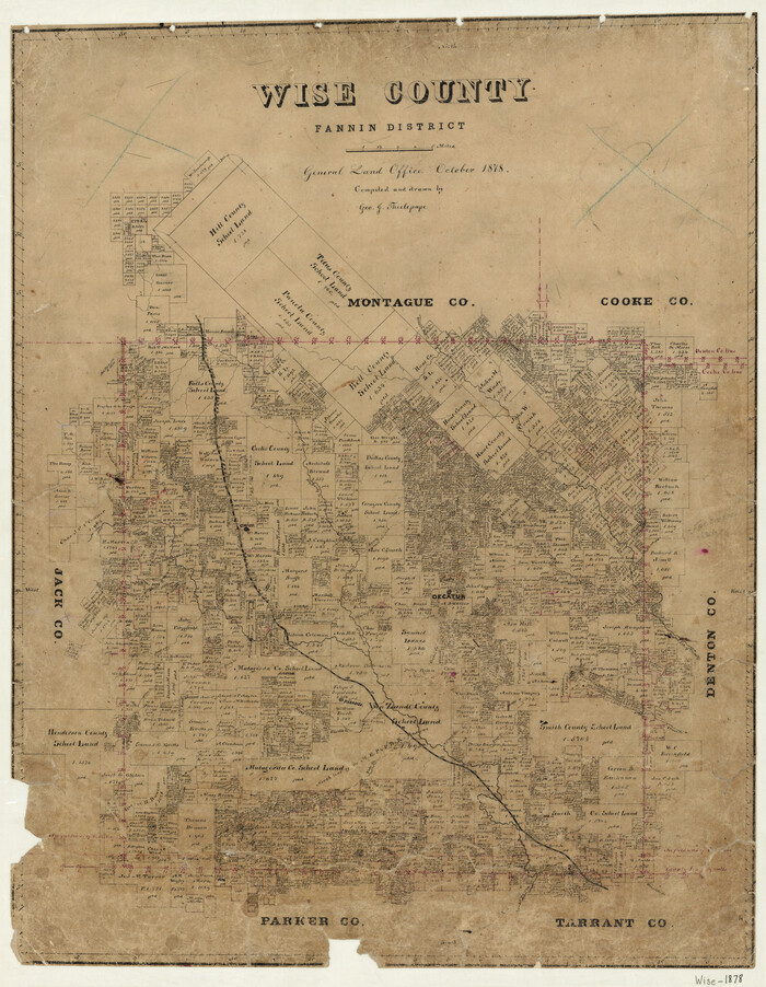

Print $20.00
- Digital $50.00
Wise County Fannin District
1878
Size 27.3 x 21.2 inches
Map/Doc 4164
Fisher County Working Sketch 15
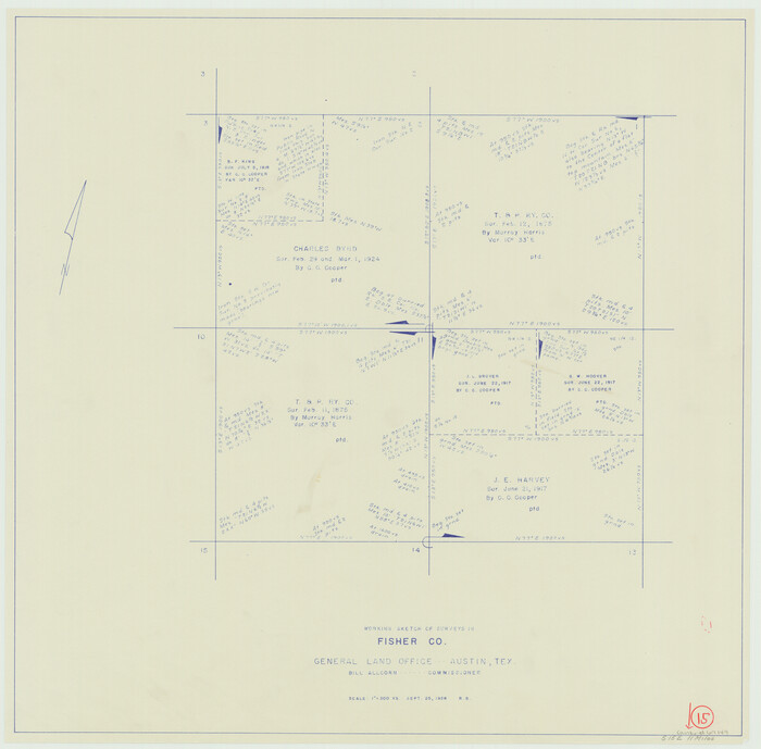

Print $20.00
- Digital $50.00
Fisher County Working Sketch 15
1958
Size 22.2 x 22.6 inches
Map/Doc 69149
You may also like
Kimble County Working Sketch 85

Print $40.00
- Digital $50.00
Kimble County Working Sketch 85
1972
Size 35.7 x 56.8 inches
Map/Doc 70153
Karnes County Working Sketch 10


Print $20.00
- Digital $50.00
Karnes County Working Sketch 10
1970
Size 35.5 x 26.3 inches
Map/Doc 66658
Texas Official Travel Map

Digital $50.00
Texas Official Travel Map
Size 33.4 x 36.1 inches
Map/Doc 94304
Brewster County Working Sketch 93

Print $40.00
- Digital $50.00
Brewster County Working Sketch 93
1975
Size 60.6 x 39.9 inches
Map/Doc 67693
[Map of Connecting Lines along or near the Red River]
![75545, [Map of Connecting Lines along or near the Red River], General Map Collection](https://historictexasmaps.com/wmedia_w700/maps/75545.tif.jpg)
![75545, [Map of Connecting Lines along or near the Red River], General Map Collection](https://historictexasmaps.com/wmedia_w700/maps/75545.tif.jpg)
Print $40.00
- Digital $50.00
[Map of Connecting Lines along or near the Red River]
Size 37.9 x 48.7 inches
Map/Doc 75545
El Paso County Working Sketch 57


Print $20.00
- Digital $50.00
El Paso County Working Sketch 57
Size 37.5 x 37.4 inches
Map/Doc 69079
Dimmit County Rolled Sketch 8


Print $20.00
- Digital $50.00
Dimmit County Rolled Sketch 8
1941
Size 30.0 x 29.6 inches
Map/Doc 5718
Flight Mission No. DIX-7P, Frame 85, Aransas County

Print $20.00
- Digital $50.00
Flight Mission No. DIX-7P, Frame 85, Aransas County
1956
Size 18.7 x 22.4 inches
Map/Doc 83879
Kent County Working Sketch 19


Print $40.00
- Digital $50.00
Kent County Working Sketch 19
1980
Size 36.8 x 51.5 inches
Map/Doc 70026
Flight Mission No. DAG-17K, Frame 122, Matagorda County


Print $20.00
- Digital $50.00
Flight Mission No. DAG-17K, Frame 122, Matagorda County
1952
Size 16.5 x 16.4 inches
Map/Doc 86342
Bivin's Addition to Amarillo, Texas, Survey 187, Block 2, A. B. & M., Potter County


Print $20.00
- Digital $50.00
Bivin's Addition to Amarillo, Texas, Survey 187, Block 2, A. B. & M., Potter County
Size 20.1 x 23.0 inches
Map/Doc 91739
Gregg County Working Sketch Graphic Index


Print $20.00
- Digital $50.00
Gregg County Working Sketch Graphic Index
1933
Size 32.4 x 29.5 inches
Map/Doc 76559

