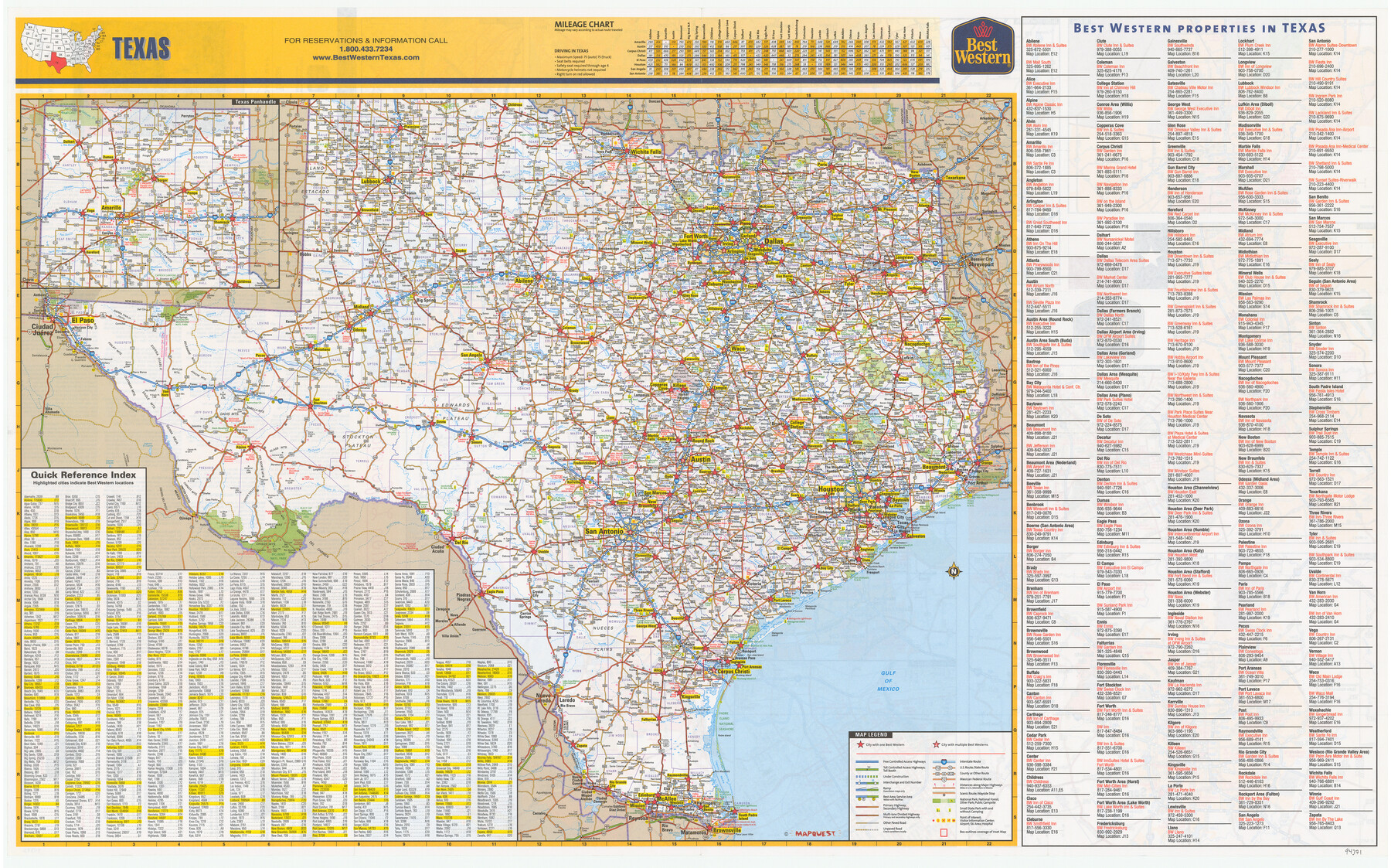
Texas Road Map
[Recto - Map of Texas]
-
Map/Doc
94371
-
Collection
General Map Collection
-
Object Dates
2004 (Copyright Date)
-
People and Organizations
Best Western International, Inc. (Publisher)
-
Subjects
State of Texas
-
Height x Width
22.6 x 36.3 inches
57.4 x 92.2 cm
-
Medium
paper, etching/engraving/lithograph
-
Comments
For maps of major Texas cities on verso, see 94372. For research only.
Related maps

Part of: General Map Collection
Calhoun County Rolled Sketch 30

Print $20.00
- Digital $50.00
Calhoun County Rolled Sketch 30
1974
Size 18.6 x 27.6 inches
Map/Doc 5491
Sabine County Working Sketch 5

Print $20.00
- Digital $50.00
Sabine County Working Sketch 5
1918
Size 17.3 x 17.3 inches
Map/Doc 63676
Marble Falls City, Burnet County, Texas

Print $20.00
- Digital $50.00
Marble Falls City, Burnet County, Texas
1890
Size 26.6 x 20.5 inches
Map/Doc 4830
Taylor County Working Sketch 2

Print $20.00
- Digital $50.00
Taylor County Working Sketch 2
1930
Size 27.3 x 23.1 inches
Map/Doc 69611
Newton County Aerial Photograph Index Sheet 1

Print $20.00
- Digital $50.00
Newton County Aerial Photograph Index Sheet 1
1953
Size 23.8 x 18.7 inches
Map/Doc 83730
Lavaca County Sketch File 3

Print $8.00
- Digital $50.00
Lavaca County Sketch File 3
1853
Size 10.1 x 9.8 inches
Map/Doc 29633
Webb County Rolled Sketch 12

Print $20.00
- Digital $50.00
Webb County Rolled Sketch 12
Size 17.6 x 18.5 inches
Map/Doc 8176
[Surveys along Tehuacano and Grindstone Creek, drawings X and Y]
![299, [Surveys along Tehuacano and Grindstone Creek, drawings X and Y], General Map Collection](https://historictexasmaps.com/wmedia_w700/maps/299.tif.jpg)
Print $20.00
- Digital $50.00
[Surveys along Tehuacano and Grindstone Creek, drawings X and Y]
1846
Size 12.4 x 18.3 inches
Map/Doc 299
Webb County Rolled Sketch 77

Print $20.00
- Digital $50.00
Webb County Rolled Sketch 77
1980
Size 39.1 x 38.5 inches
Map/Doc 10134
Flight Mission No. DAG-17K, Frame 124, Matagorda County

Print $20.00
- Digital $50.00
Flight Mission No. DAG-17K, Frame 124, Matagorda County
1952
Size 18.6 x 22.3 inches
Map/Doc 86344
Potter County Boundary File 1b

Print $8.00
- Digital $50.00
Potter County Boundary File 1b
Size 14.4 x 8.4 inches
Map/Doc 57948
Presidio County Working Sketch 102

Print $20.00
- Digital $50.00
Presidio County Working Sketch 102
1980
Size 30.9 x 28.9 inches
Map/Doc 71779
You may also like
Shelby County Working Sketch 33

Print $20.00
- Digital $50.00
Shelby County Working Sketch 33
2008
Size 23.6 x 27.5 inches
Map/Doc 88886
Flight Mission No. CGI-1N, Frame 139, Cameron County

Print $20.00
- Digital $50.00
Flight Mission No. CGI-1N, Frame 139, Cameron County
1955
Size 18.6 x 22.2 inches
Map/Doc 84495
Little River, Reeds Lake Sheet

Print $6.00
- Digital $50.00
Little River, Reeds Lake Sheet
1927
Size 31.8 x 28.1 inches
Map/Doc 65066

Harris County Working Sketch 55

Print $20.00
- Digital $50.00
Harris County Working Sketch 55
1950
Size 19.3 x 25.2 inches
Map/Doc 65947
Hale County Rolled Sketch 9

Print $20.00
- Digital $50.00
Hale County Rolled Sketch 9
Size 25.1 x 17.6 inches
Map/Doc 6047
Atascosa County Sketch File 20

Print $4.00
- Digital $50.00
Atascosa County Sketch File 20
Size 7.9 x 9.0 inches
Map/Doc 13787
Ellis County Boundary File 1

Print $10.00
- Digital $50.00
Ellis County Boundary File 1
Size 12.5 x 7.7 inches
Map/Doc 52939
Childress County Working Sketch 3

Print $20.00
- Digital $50.00
Childress County Working Sketch 3
1927
Size 22.4 x 18.6 inches
Map/Doc 68019
Map of Marion County

Print $20.00
- Digital $50.00
Map of Marion County
1920
Size 29.2 x 42.2 inches
Map/Doc 78405
Map of Survey 10, Block 1, D.B. Gardner

Print $20.00
- Digital $50.00
Map of Survey 10, Block 1, D.B. Gardner
1915
Size 16.1 x 18.7 inches
Map/Doc 10764
La Salle County Working Sketch 32

Print $20.00
- Digital $50.00
La Salle County Working Sketch 32
1955
Size 35.8 x 27.1 inches
Map/Doc 70333