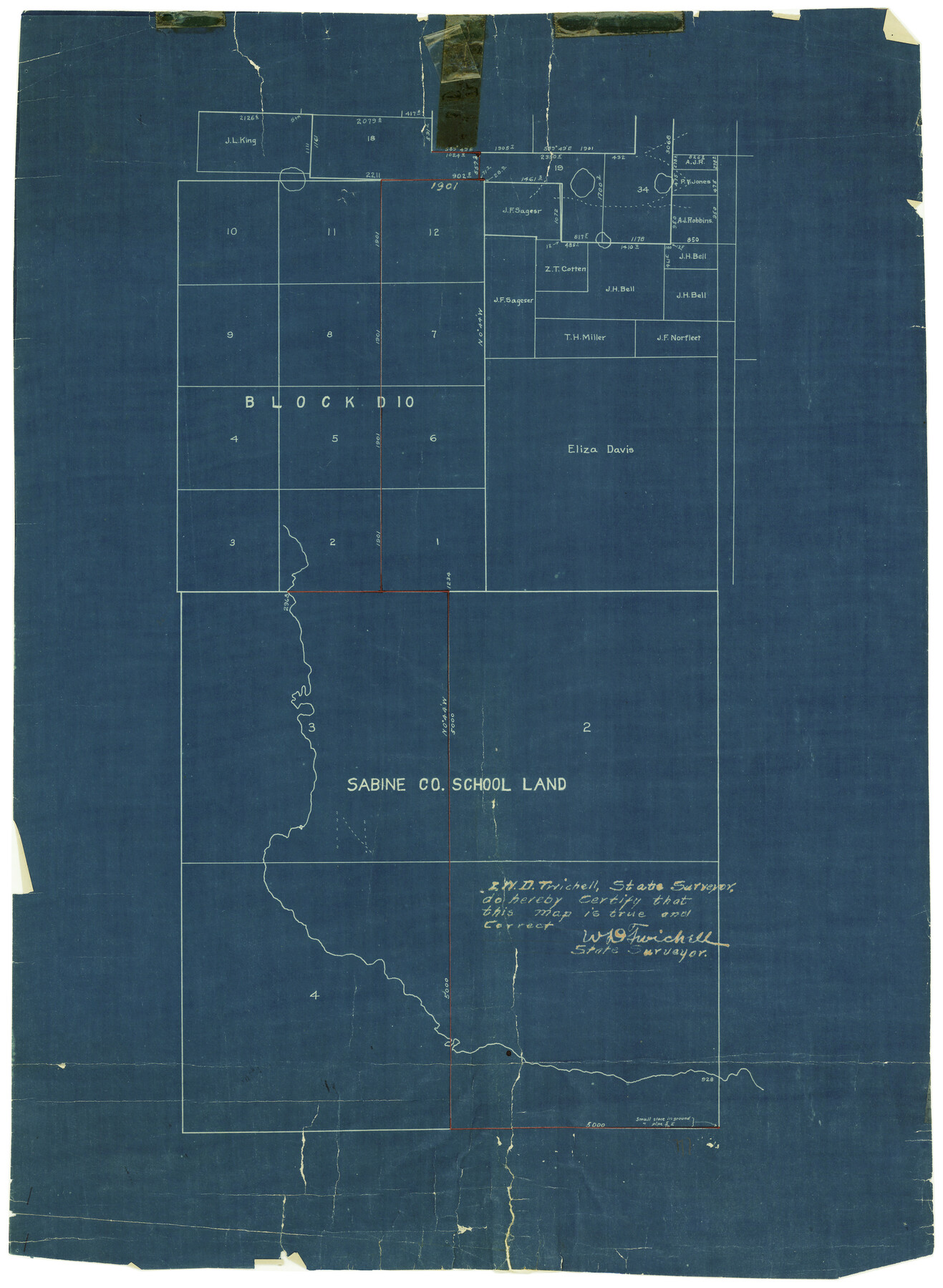
Hale County Rolled Sketch 9
[Sketch in SW part of Hale County, Texas]
-
Map/Doc
6047
-
Collection
General Map Collection
-
People and Organizations
W.D. Twichell (Surveyor/Engineer)
-
Counties
Hale
-
Subjects
Surveying Rolled Sketch
-
Height x Width
25.1 x 17.6 inches
63.8 x 44.7 cm
-
Medium
blueprint/diazo
Part of: General Map Collection
Schleicher County Sketch File 5

Print $40.00
- Digital $50.00
Schleicher County Sketch File 5
Size 17.2 x 13.4 inches
Map/Doc 36470
Tarrant County Working Sketch 2

Print $20.00
- Digital $50.00
Tarrant County Working Sketch 2
1940
Size 21.3 x 19.5 inches
Map/Doc 62419
McCulloch County Rolled Sketch 5

Print $20.00
- Digital $50.00
McCulloch County Rolled Sketch 5
Size 25.7 x 20.9 inches
Map/Doc 6716
Amistad International Reservoir on Rio Grande 75

Print $20.00
- Digital $50.00
Amistad International Reservoir on Rio Grande 75
1949
Size 28.5 x 40.1 inches
Map/Doc 75503
Culberson County Sketch File 5a

Print $44.00
- Digital $50.00
Culberson County Sketch File 5a
Size 14.2 x 8.8 inches
Map/Doc 20169
[T. & N. O. R.R. Jefferson Co. North]
![64055, [T. & N. O. R.R. Jefferson Co. North], General Map Collection](https://historictexasmaps.com/wmedia_w700/maps/64055-1.tif.jpg)
Print $20.00
- Digital $50.00
[T. & N. O. R.R. Jefferson Co. North]
Size 13.4 x 33.4 inches
Map/Doc 64055
Nueces County

Print $20.00
- Digital $50.00
Nueces County
1913
Size 25.9 x 34.9 inches
Map/Doc 73252
Montgomery County Sketch File 33A

Print $20.00
- Digital $50.00
Montgomery County Sketch File 33A
1948
Size 21.3 x 28.3 inches
Map/Doc 42124

Panola County Sketch File 24

Print $8.00
- Digital $50.00
Panola County Sketch File 24
1939
Size 11.1 x 8.7 inches
Map/Doc 33494
Angelina County Sketch File 18b

Print $40.00
- Digital $50.00
Angelina County Sketch File 18b
Size 12.6 x 16.2 inches
Map/Doc 13032
Hutchinson County Rolled Sketch 40

Print $20.00
- Digital $50.00
Hutchinson County Rolled Sketch 40
1981
Size 26.8 x 37.6 inches
Map/Doc 6301
You may also like
Disputed Territory Between Mexico and the United States

Disputed Territory Between Mexico and the United States
2023
Size 11.0 x 8.5 inches
Map/Doc 97129
Map of Escarpment Section through Webb County, Texas (South half of Webb County)

Print $40.00
- Digital $50.00
Map of Escarpment Section through Webb County, Texas (South half of Webb County)
1925
Size 43.3 x 76.2 inches
Map/Doc 93163

Sabine County Working Sketch 16

Print $20.00
- Digital $50.00
Sabine County Working Sketch 16
1984
Size 26.0 x 29.8 inches
Map/Doc 63687
Galveston County Sketch File 31

Print $20.00
- Digital $50.00
Galveston County Sketch File 31
1916
Size 23.7 x 13.6 inches
Map/Doc 11534
[Surveys in Austin's Colony along New Year's Creek and the Navidad River]
![212, [Surveys in Austin's Colony along New Year's Creek and the Navidad River], General Map Collection](https://historictexasmaps.com/wmedia_w700/maps/212.tif.jpg)
Print $20.00
- Digital $50.00
[Surveys in Austin's Colony along New Year's Creek and the Navidad River]
Size 20.2 x 15.6 inches
Map/Doc 212
[Sketch for Mineral Applications 7410, 7411, 7412, 7413, 7712 - Kleberg County]
![65624, [Sketch for Mineral Applications 7410, 7411, 7412, 7413, 7712 - Kleberg County], General Map Collection](https://historictexasmaps.com/wmedia_w700/maps/65624-1.tif.jpg)
Print $40.00
- Digital $50.00
[Sketch for Mineral Applications 7410, 7411, 7412, 7413, 7712 - Kleberg County]
1977
Size 91.9 x 44.5 inches
Map/Doc 65624
Johnson County Sketch File 22

Print $20.00
- Digital $50.00
Johnson County Sketch File 22
1873
Size 18.8 x 16.2 inches
Map/Doc 11891
Right of Way & Track Map San Antonio & Aransas Pass Railway Co.

Print $40.00
- Digital $50.00
Right of Way & Track Map San Antonio & Aransas Pass Railway Co.
1919
Size 24.8 x 55.8 inches
Map/Doc 64038
Flight Mission No. CGI-3N, Frame 166, Cameron County

Print $20.00
- Digital $50.00
Flight Mission No. CGI-3N, Frame 166, Cameron County
1954
Size 18.6 x 22.2 inches
Map/Doc 84630
Refugio County Working Sketch 12

Print $40.00
- Digital $50.00
Refugio County Working Sketch 12
1949
Size 42.6 x 48.2 inches
Map/Doc 63521
[Sketch for Mineral Application 1112 - Colorado River, H. E. Chambers]
![65636, [Sketch for Mineral Application 1112 - Colorado River, H. E. Chambers], General Map Collection](https://historictexasmaps.com/wmedia_w700/maps/65636.tif.jpg)
Print $40.00
- Digital $50.00
[Sketch for Mineral Application 1112 - Colorado River, H. E. Chambers]
1918
Size 48.2 x 26.5 inches
Map/Doc 65636