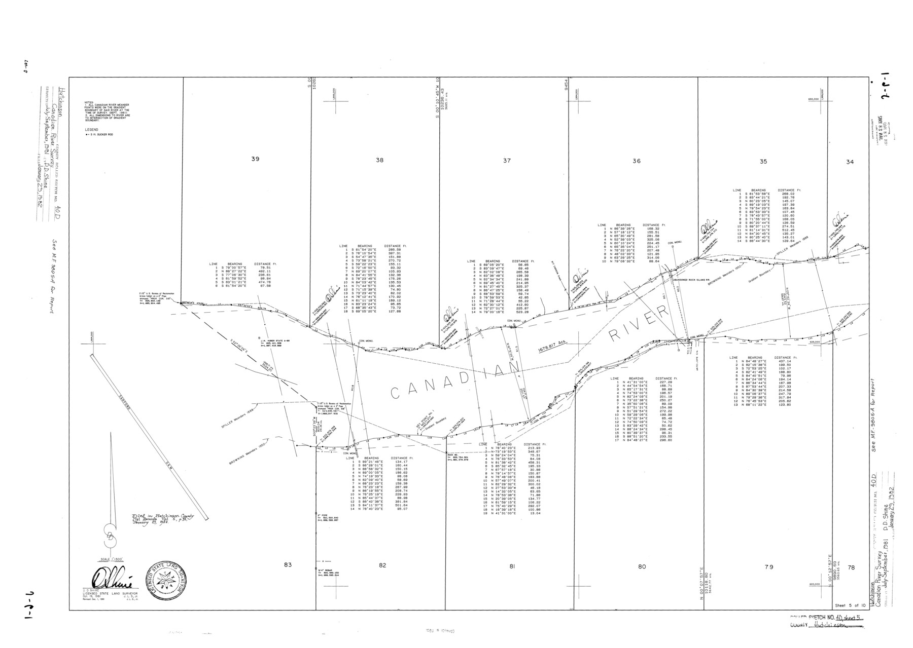
Hutchinson County Rolled Sketch 40
[Canadian River Survey, Hutchinson County, Texas - Sheet 5 of 10]
-
Map/Doc
6301
-
Collection
General Map Collection
-
Object Dates
1981/12/1 (Revision Date)
1982/1/29 (File Date)
1981/10/19 (Creation Date)
-
People and Organizations
D.D. Shine (Surveyor/Engineer)
-
Counties
Hutchinson
-
Subjects
Surveying Rolled Sketch
-
Height x Width
26.8 x 37.6 inches
68.1 x 95.5 cm
-
Medium
mylar, print
-
Scale
1" = 500 feet
Related maps
Hutchinson County Sketch File 46

Print $50.00
- Digital $50.00
Hutchinson County Sketch File 46
1981
Size 11.2 x 8.7 inches
Map/Doc 27365
Part of: General Map Collection
Map of the Galveston, La Porte & Houston Ry. and its Connecting Lines

Print $20.00
- Digital $50.00
Map of the Galveston, La Porte & Houston Ry. and its Connecting Lines
1895
Size 42.6 x 32.0 inches
Map/Doc 64772
Palo Pinto County Sketch File 25

Print $26.00
- Digital $50.00
Palo Pinto County Sketch File 25
1874
Size 10.1 x 8.9 inches
Map/Doc 33404
Harris County Working Sketch 18

Print $20.00
- Digital $50.00
Harris County Working Sketch 18
1919
Size 12.1 x 14.8 inches
Map/Doc 65910
Presidio County Boundary File 4

Print $8.00
- Digital $50.00
Presidio County Boundary File 4
Size 13.9 x 8.6 inches
Map/Doc 58083
Dawson County Sketch File 17

Print $18.00
- Digital $50.00
Dawson County Sketch File 17
Size 14.4 x 8.8 inches
Map/Doc 20558
Trinity County Sketch File 35a

Print $6.00
- Digital $50.00
Trinity County Sketch File 35a
1921
Size 16.8 x 8.8 inches
Map/Doc 38587
McMullen County Rolled Sketch 12

Print $20.00
- Digital $50.00
McMullen County Rolled Sketch 12
Size 26.5 x 33.2 inches
Map/Doc 6729
Harris County Boundary File 2

Print $8.00
- Digital $50.00
Harris County Boundary File 2
Size 8.1 x 8.7 inches
Map/Doc 54294
Flight Mission No. BRE-1P, Frame 149, Nueces County

Print $20.00
- Digital $50.00
Flight Mission No. BRE-1P, Frame 149, Nueces County
1956
Size 18.3 x 22.3 inches
Map/Doc 86709
Marion County Working Sketch 35

Print $20.00
- Digital $50.00
Marion County Working Sketch 35
1985
Size 27.3 x 28.2 inches
Map/Doc 70811
Maps of Gulf Intracoastal Waterway, Texas - Sabine River to the Rio Grande and connecting waterways including ship channels

Print $20.00
- Digital $50.00
Maps of Gulf Intracoastal Waterway, Texas - Sabine River to the Rio Grande and connecting waterways including ship channels
1966
Size 14.6 x 22.3 inches
Map/Doc 61938
Erath County Working Sketch 46

Print $40.00
- Digital $50.00
Erath County Working Sketch 46
1983
Size 49.6 x 43.1 inches
Map/Doc 69127
You may also like
[South Half - Brown County, Texas]
![97383, [South Half - Brown County, Texas], General Map Collection](https://historictexasmaps.com/wmedia_w700/maps/97383.tif.jpg)
Print $40.00
- Digital $50.00
[South Half - Brown County, Texas]
1919
Size 41.7 x 68.4 inches
Map/Doc 97383
[Sketch Showing Surveys in Dimmit County, Texas]
![75783, [Sketch Showing Surveys in Dimmit County, Texas], Maddox Collection](https://historictexasmaps.com/wmedia_w700/maps/75783.tif.jpg)
Print $20.00
- Digital $50.00
[Sketch Showing Surveys in Dimmit County, Texas]
Size 42.3 x 31.8 inches
Map/Doc 75783
Eubank Farm N/2 of NE/4 Section 3, Block D3

Print $20.00
- Digital $50.00
Eubank Farm N/2 of NE/4 Section 3, Block D3
Size 20.9 x 14.0 inches
Map/Doc 92336
The State of Texas vs. Chas. J. Canda, et al, T. & P. Ry. Co., No. 10351

Print $522.00
- Digital $50.00
The State of Texas vs. Chas. J. Canda, et al, T. & P. Ry. Co., No. 10351
1893
Size 10.0 x 17.0 inches
Map/Doc 3048
Dimmit County Sketch File 11

Print $12.00
- Digital $50.00
Dimmit County Sketch File 11
1880
Size 12.9 x 8.2 inches
Map/Doc 21075
Archer County Working Sketch 5

Print $20.00
- Digital $50.00
Archer County Working Sketch 5
1919
Size 14.7 x 23.4 inches
Map/Doc 67145
Flight Mission No. CZW-2R, Frame 25, Hardeman County

Print $20.00
- Digital $50.00
Flight Mission No. CZW-2R, Frame 25, Hardeman County
1956
Size 18.7 x 22.4 inches
Map/Doc 85237
Plano General de los Ferrocarriles Nacionales de Mexico, F.C. Internacional Mexicano, F.C. Interoceanico de Mexico, F.C. Mexicano del sur y sus Conexiones

Print $20.00
- Digital $50.00
Plano General de los Ferrocarriles Nacionales de Mexico, F.C. Internacional Mexicano, F.C. Interoceanico de Mexico, F.C. Mexicano del sur y sus Conexiones
1910
Size 27.8 x 32.5 inches
Map/Doc 95743

Jefferson County Working Sketch 15

Print $20.00
- Digital $50.00
Jefferson County Working Sketch 15
1953
Size 24.5 x 28.6 inches
Map/Doc 66558
Flight Mission No. DAG-21K, Frame 124, Matagorda County

Print $20.00
- Digital $50.00
Flight Mission No. DAG-21K, Frame 124, Matagorda County
1952
Size 18.5 x 22.4 inches
Map/Doc 86450
[E. L. & R. R. Blocks 8, 9, and 10, T. T. R. R. Block 32, J. Poitevent Block 1]
![91351, [E. L. & R. R. Blocks 8, 9, and 10, T. T. R. R. Block 32, J. Poitevent Block 1], Twichell Survey Records](https://historictexasmaps.com/wmedia_w700/maps/91351-1.tif.jpg)
Print $20.00
- Digital $50.00
[E. L. & R. R. Blocks 8, 9, and 10, T. T. R. R. Block 32, J. Poitevent Block 1]
1900
Size 13.8 x 16.8 inches
Map/Doc 91351