Hutchinson County Rolled Sketch 15
1911

Hansford County Sketch File 1
1888

Hansford County Sketch File 2
1901

Hutchinson County Sketch File 5

Hutchinson County Sketch File 10

Hutchinson County Sketch File 20m
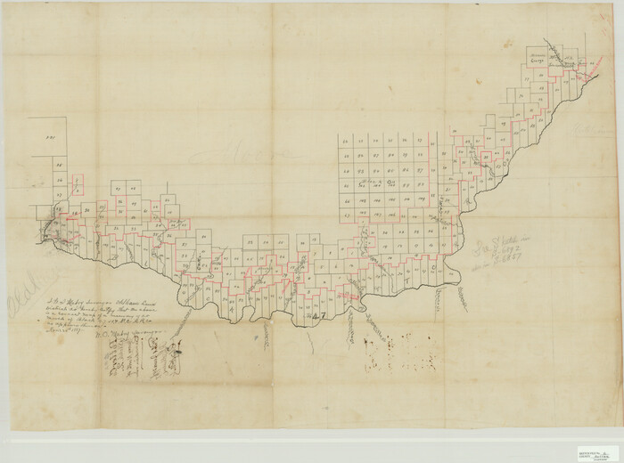
Potter County Sketch File 2
1887

Potter County Sketch File 3
1883
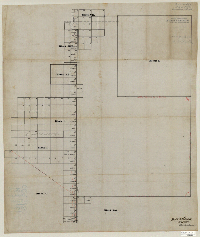
Potter County Sketch File 6
1900
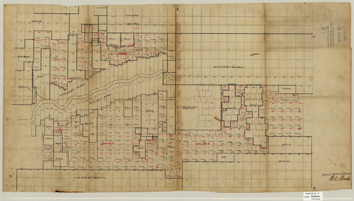
Roberts County Sketch File 1
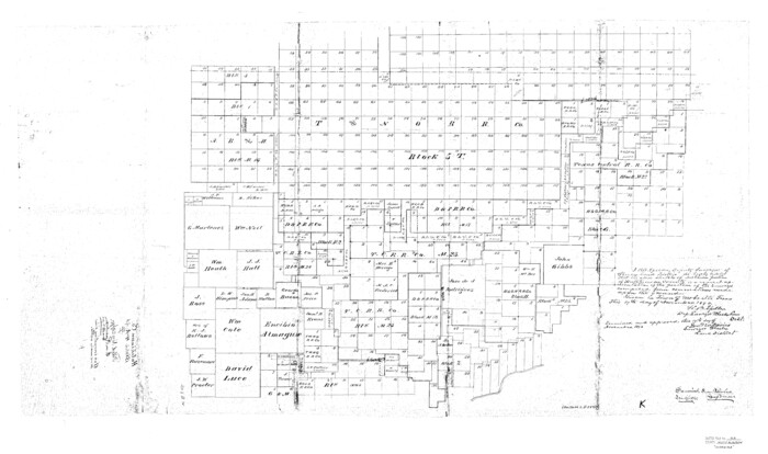
Hutchinson County Sketch File 4a
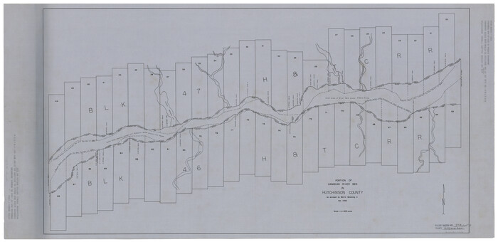
Hutchinson County Rolled Sketch 37A
1950

Hutchinson County Rolled Sketch 38
1953

Gray County Sketch File B2
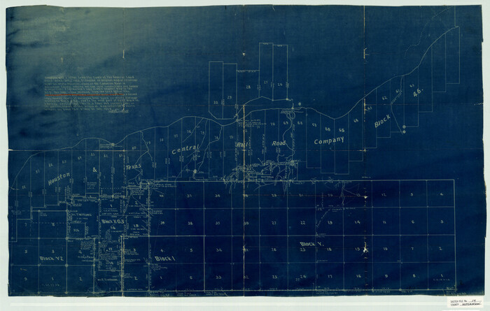
Hutchinson County Sketch File 14
1920

Hutchinson County Sketch File 15
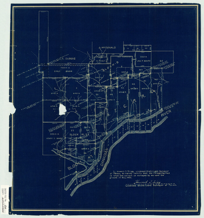
Hutchinson County Sketch File 26
1920
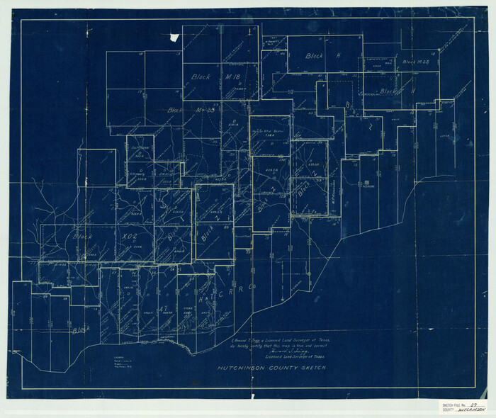
Hutchinson County Sketch File 27

Hutchinson County Sketch File 29
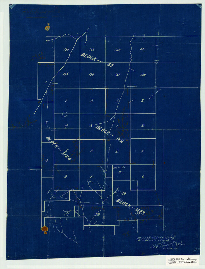
Hutchinson County Sketch File 31

Hutchinson County Sketch File 32
1924

Hutchinson County Sketch File 33
1926

Hutchinson County Sketch File 39
1938
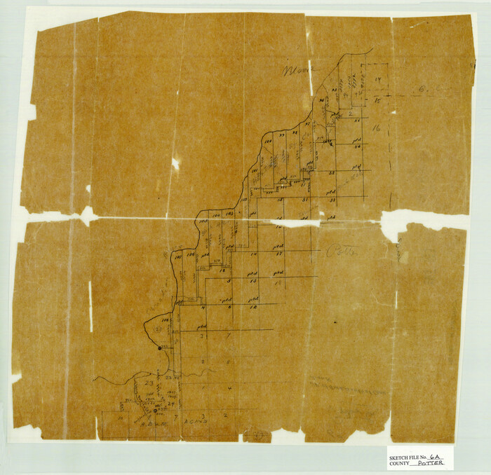
Potter County Sketch File 6A
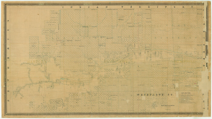
[Young Territory]
1875
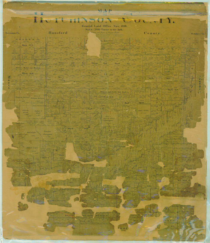
Map of Hutchinson County
1898

Castro County Sketch File 4l
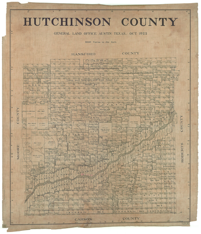
Hutchinson County
1922
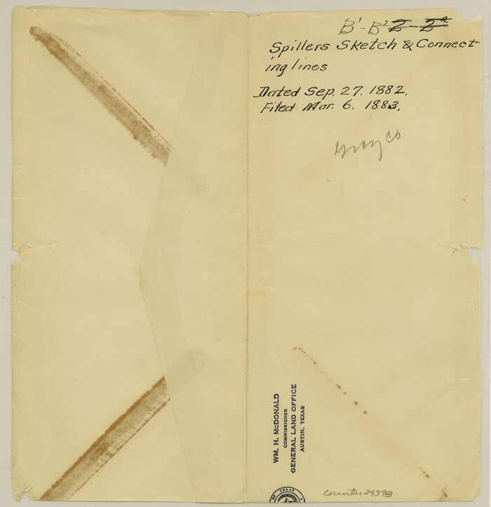
Gray County Sketch File B1
1882

Hansford County Sketch File 11

Hutchinson County Rolled Sketch 15
1911
-
Size
28.9 x 27.0 inches
-
Map/Doc
10201
-
Creation Date
1911

Hansford County Sketch File 1
1888
-
Size
39.0 x 31.3 inches
-
Map/Doc
10475
-
Creation Date
1888

Hansford County Sketch File 2
1901
-
Size
76.7 x 25.5 inches
-
Map/Doc
10476
-
Creation Date
1901

Hutchinson County Sketch File 5
-
Size
15.1 x 62.7 inches
-
Map/Doc
10498

Hutchinson County Sketch File 10
-
Size
55.8 x 9.2 inches
-
Map/Doc
10500

Hutchinson County Sketch File 20m
-
Size
36.2 x 43.6 inches
-
Map/Doc
10501

Potter County Sketch File 2
1887
-
Size
29.3 x 39.4 inches
-
Map/Doc
10573
-
Creation Date
1887

Potter County Sketch File 3
1883
-
Size
37.5 x 47.6 inches
-
Map/Doc
10574
-
Creation Date
1883

Potter County Sketch File 6
1900
-
Size
34.4 x 29.0 inches
-
Map/Doc
10575
-
Creation Date
1900

Roberts County Sketch File 1
-
Size
39.2 x 22.3 inches
-
Map/Doc
10589

Hutchinson County Sketch File 4a
-
Size
25.9 x 43.8 inches
-
Map/Doc
10625

Hutchinson County Rolled Sketch 37A
1950
-
Size
24.6 x 50.5 inches
-
Map/Doc
10676
-
Creation Date
1950

Hutchinson County Rolled Sketch 38
1953
-
Size
27.5 x 85.9 inches
-
Map/Doc
10679
-
Creation Date
1953

Gray County Sketch File B2
-
Size
22.8 x 17.3 inches
-
Map/Doc
11579

Hutchinson County Sketch File 14
1920
-
Size
21.5 x 33.8 inches
-
Map/Doc
11812
-
Creation Date
1920

Hutchinson County Sketch File 15
-
Size
20.7 x 26.7 inches
-
Map/Doc
11813

Hutchinson County Sketch File 26
1920
-
Size
18.6 x 17.4 inches
-
Map/Doc
11816
-
Creation Date
1920

Hutchinson County Sketch File 27
-
Size
21.0 x 24.9 inches
-
Map/Doc
11817

Hutchinson County Sketch File 29
-
Size
16.7 x 20.8 inches
-
Map/Doc
11818

Hutchinson County Sketch File 31
-
Size
19.9 x 15.2 inches
-
Map/Doc
11819

Hutchinson County Sketch File 32
1924
-
Size
16.7 x 18.0 inches
-
Map/Doc
11820
-
Creation Date
1924

Hutchinson County Sketch File 33
1926
-
Size
26.5 x 24.5 inches
-
Map/Doc
11821
-
Creation Date
1926

Hutchinson County Sketch File 39
1938
-
Size
23.5 x 19.0 inches
-
Map/Doc
11822
-
Creation Date
1938

Potter County Sketch File 6A
-
Size
16.7 x 17.3 inches
-
Map/Doc
12196
![16784, [Young Territory], General Map Collection](https://historictexasmaps.com/wmedia_w700/maps/16784.tif.jpg)
[Young Territory]
1875
-
Size
49.0 x 87.4 inches
-
Map/Doc
16784
-
Creation Date
1875

Map of Hutchinson County
1898
-
Size
41.0 x 35.4 inches
-
Map/Doc
16856
-
Creation Date
1898

Castro County Sketch File 4l
-
Size
13.5 x 8.6 inches
-
Map/Doc
17487

Hutchinson County
1922
-
Size
45.6 x 38.8 inches
-
Map/Doc
1863
-
Creation Date
1922

Gray County Sketch File B1
1882
-
Size
8.9 x 8.6 inches
-
Map/Doc
24398
-
Creation Date
1882

Hansford County Sketch File 11
-
Size
11.2 x 8.7 inches
-
Map/Doc
24972