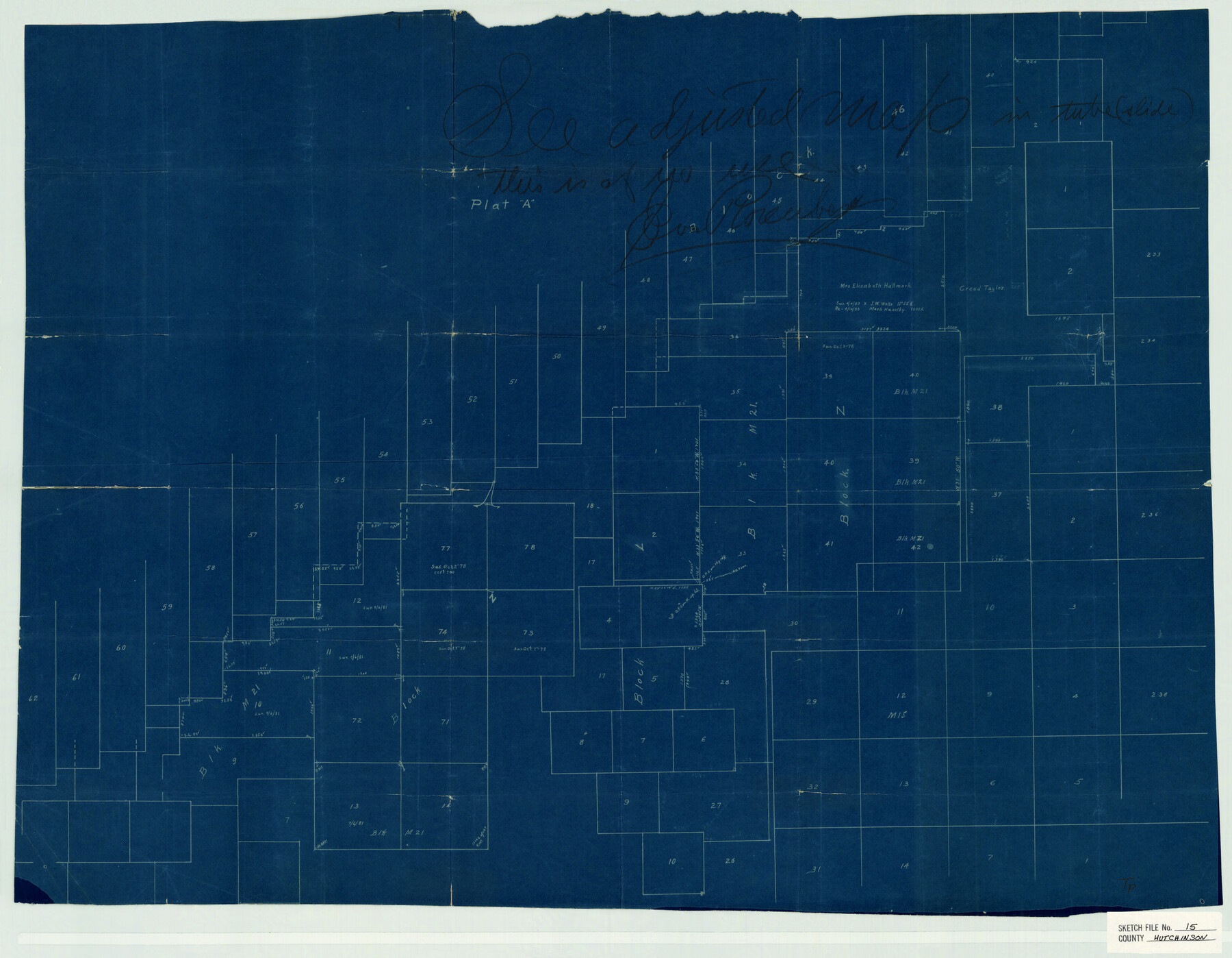
Hutchinson County Sketch File 15
Twichell's sk. Of parts of Blk. 46 & Surs. South of Canadian river
-
Map/Doc
11813
-
Collection
General Map Collection
-
Object Dates
10/2/1878 (Survey Date)
-
People and Organizations
Twichell (Surveyor/Engineer)
-
Counties
Hutchinson
-
Subjects
Surveying Sketch File
-
Height x Width
20.7 x 26.7 inches
52.6 x 67.8 cm
-
Medium
blueprint/diazo
Part of: General Map Collection
Coke County Working Sketch 8

Print $20.00
- Digital $50.00
Coke County Working Sketch 8
1926
Size 26.9 x 25.5 inches
Map/Doc 68045
Mills County Boundary File 4

Print $40.00
- Digital $50.00
Mills County Boundary File 4
Size 52.1 x 13.3 inches
Map/Doc 57293
Gulf Intracoastal Waterway, Tex. - Aransas Bay to Corpus Christi Bay - Modified Route of Main Channel/Dredging

Print $20.00
- Digital $50.00
Gulf Intracoastal Waterway, Tex. - Aransas Bay to Corpus Christi Bay - Modified Route of Main Channel/Dredging
1958
Size 30.8 x 42.8 inches
Map/Doc 61896
Sutton County Sketch File 19

Print $8.00
- Digital $50.00
Sutton County Sketch File 19
1914
Size 11.4 x 8.8 inches
Map/Doc 37447
Nueces County Aerial Photograph Index Sheet 1

Print $20.00
- Digital $50.00
Nueces County Aerial Photograph Index Sheet 1
1956
Size 23.4 x 19.6 inches
Map/Doc 83736
Leon County Working Sketch 48

Print $20.00
- Digital $50.00
Leon County Working Sketch 48
1980
Size 29.2 x 33.7 inches
Map/Doc 70447
Edwards County Sketch File 42

Print $20.00
- Digital $50.00
Edwards County Sketch File 42
1947
Size 17.9 x 22.7 inches
Map/Doc 11440
Terrell County Sketch File 26

Print $38.00
- Digital $50.00
Terrell County Sketch File 26
1937
Size 10.9 x 8.2 inches
Map/Doc 37961
Sketch Showing Beach Groins 6th St to 39th St - Galveston, Tex.

Print $20.00
- Digital $50.00
Sketch Showing Beach Groins 6th St to 39th St - Galveston, Tex.
1928
Size 21.0 x 36.4 inches
Map/Doc 73626
Hudspeth County Sketch File 46

Print $20.00
- Digital $50.00
Hudspeth County Sketch File 46
1983
Size 17.5 x 14.0 inches
Map/Doc 27049
Montgomery County Working Sketch 55

Print $20.00
- Digital $50.00
Montgomery County Working Sketch 55
1961
Size 23.8 x 34.6 inches
Map/Doc 71162
Flight Mission No. DQN-5K, Frame 61, Calhoun County

Print $20.00
- Digital $50.00
Flight Mission No. DQN-5K, Frame 61, Calhoun County
1953
Size 18.7 x 22.3 inches
Map/Doc 84404
You may also like
Flight Mission No. DCL-7C, Frame 145, Kenedy County

Print $20.00
- Digital $50.00
Flight Mission No. DCL-7C, Frame 145, Kenedy County
1943
Size 18.6 x 22.5 inches
Map/Doc 86102
Angelina County Working Sketch 51

Print $20.00
- Digital $50.00
Angelina County Working Sketch 51
1988
Size 44.0 x 23.0 inches
Map/Doc 67135
[Part of Eastern Texas RR. Co. Block 1]
![91921, [Part of Eastern Texas RR. Co. Block 1], Twichell Survey Records](https://historictexasmaps.com/wmedia_w700/maps/91921-1.tif.jpg)
Print $20.00
- Digital $50.00
[Part of Eastern Texas RR. Co. Block 1]
Size 23.9 x 43.1 inches
Map/Doc 91921
Texas Gulf Coast, from the Sabine River to the Rio Grande as Subdivided for Mineral Development; Aransas, Nueces, Kleberg, Kenedy, Willacy, and Cameron Counties

Print $40.00
- Digital $50.00
Texas Gulf Coast, from the Sabine River to the Rio Grande as Subdivided for Mineral Development; Aransas, Nueces, Kleberg, Kenedy, Willacy, and Cameron Counties
1976
Size 118.0 x 43.0 inches
Map/Doc 1940
[Plan for Fort Waul near Gonzales, Texas]
![88600, [Plan for Fort Waul near Gonzales, Texas], National Archives Digital Map Collection](https://historictexasmaps.com/wmedia_w700/maps/88600.tif.jpg)
Print $20.00
[Plan for Fort Waul near Gonzales, Texas]
1863
Size 12.3 x 20.3 inches
Map/Doc 88600
Nueces County NRC Article 33.136 Sketch 23

Print $42.00
Nueces County NRC Article 33.136 Sketch 23
2023
Map/Doc 97181
Calhoun County Rolled Sketch 26

Print $40.00
- Digital $50.00
Calhoun County Rolled Sketch 26
1941
Size 25.5 x 112.1 inches
Map/Doc 8556
Hunt County Boundary File 4

Print $16.00
- Digital $50.00
Hunt County Boundary File 4
Size 14.3 x 8.6 inches
Map/Doc 55214
[Old Coastal Chart of Texas Coast showing passes with depth readings]
![4662, [Old Coastal Chart of Texas Coast showing passes with depth readings], General Map Collection](https://historictexasmaps.com/wmedia_w700/maps/4662-1.tif.jpg)
Print $40.00
- Digital $50.00
[Old Coastal Chart of Texas Coast showing passes with depth readings]
Size 25.4 x 48.6 inches
Map/Doc 4662
Maps of Gulf Intracoastal Waterway, Texas - Sabine River to the Rio Grande and connecting waterways including ship channels

Print $20.00
- Digital $50.00
Maps of Gulf Intracoastal Waterway, Texas - Sabine River to the Rio Grande and connecting waterways including ship channels
1966
Size 14.6 x 22.3 inches
Map/Doc 61934
J. B. Chilton's Subdivision of League 289, Gaines County, Texas

Print $20.00
- Digital $50.00
J. B. Chilton's Subdivision of League 289, Gaines County, Texas
1924
Size 18.7 x 24.7 inches
Map/Doc 92682
[Pecos River Bed]
![2467, [Pecos River Bed], General Map Collection](https://historictexasmaps.com/wmedia_w700/maps/2467.tif.jpg)
Print $20.00
- Digital $50.00
[Pecos River Bed]
Size 16.6 x 39.8 inches
Map/Doc 2467