384 results

Hutchinson County Rolled Sketch 15
10201, Hutchinson County Rolled Sketch 15, General Map Collection
Print $47.00 - Digital $50.00

Hutchinson County Rolled Sketch 15

1911

Size: 28.9 x 27.0 inches
10201
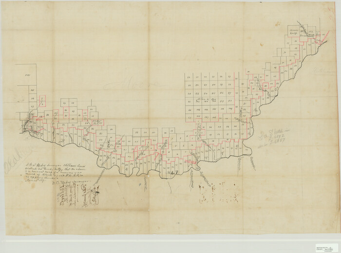
Hansford County Sketch File 1
10475, Hansford County Sketch File 1, General Map Collection
Print $7.00 - Digital $50.00

Hansford County Sketch File 1

1888

Size: 39.0 x 31.3 inches
10475
Hansford County Sketch File 2
10476, Hansford County Sketch File 2, General Map Collection
Print $13.00 - Digital $50.00

Hansford County Sketch File 2

1901

Size: 76.7 x 25.5 inches
10476
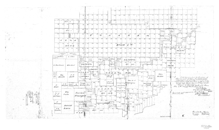
Hutchinson County Sketch File 5
10498, Hutchinson County Sketch File 5, General Map Collection
Print $60.00 - Digital $50.00

Hutchinson County Sketch File 5

Size: 15.1 x 62.7 inches
10498
Hutchinson County Sketch File 10
10500, Hutchinson County Sketch File 10, General Map Collection
Print $40.00 - Digital $50.00

Hutchinson County Sketch File 10

Size: 55.8 x 9.2 inches
10500
Hutchinson County Sketch File 20m
10501, Hutchinson County Sketch File 20m, General Map Collection
Print $20.00 - Digital $50.00

Hutchinson County Sketch File 20m

Size: 36.2 x 43.6 inches
10501
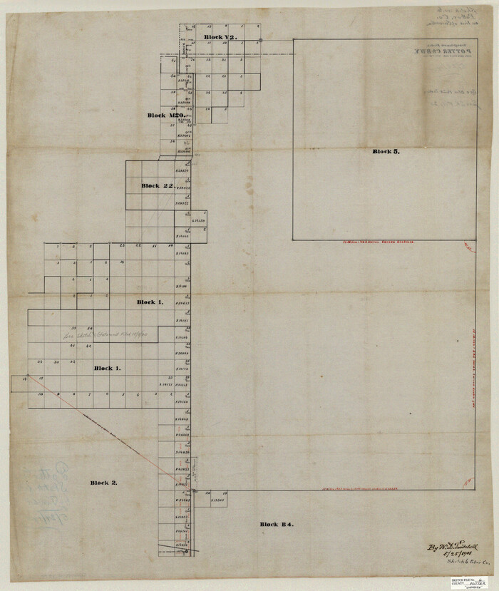
Potter County Sketch File 2
10573, Potter County Sketch File 2, General Map Collection
Print $20.00 - Digital $50.00

Potter County Sketch File 2

1887

Size: 29.3 x 39.4 inches
10573
Potter County Sketch File 3
10574, Potter County Sketch File 3, General Map Collection
Print $20.00 - Digital $50.00

Potter County Sketch File 3

1883

Size: 37.5 x 47.6 inches
10574
Potter County Sketch File 6
10575, Potter County Sketch File 6, General Map Collection
Print $20.00 - Digital $50.00

Potter County Sketch File 6

1900

Size: 34.4 x 29.0 inches
10575
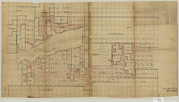
Roberts County Sketch File 1
10589, Roberts County Sketch File 1, General Map Collection
Print $20.00 - Digital $50.00

Roberts County Sketch File 1

Size: 39.2 x 22.3 inches
10589
Hutchinson County Sketch File 4a
10625, Hutchinson County Sketch File 4a, General Map Collection
Print $7.00 - Digital $50.00

Hutchinson County Sketch File 4a

Size: 25.9 x 43.8 inches
10625
Hutchinson County Rolled Sketch 37A
10676.tif
Print $40.00 - Digital $50.00

Hutchinson County Rolled Sketch 37A

1950

Size: 24.6 x 50.5 inches
10676
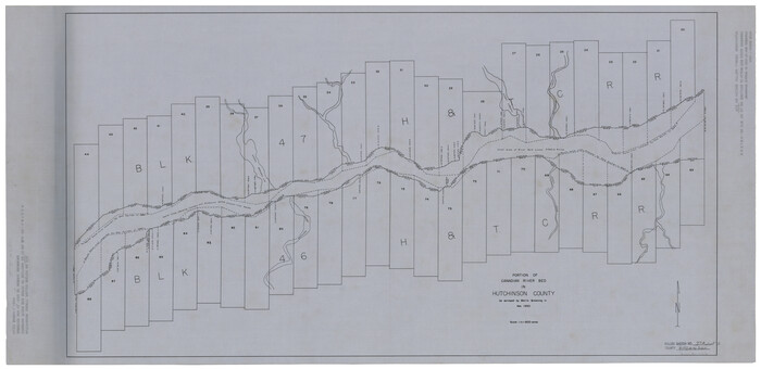
Hutchinson County Rolled Sketch 38
10679.tif
Print $40.00 - Digital $50.00

Hutchinson County Rolled Sketch 38

1953

Size: 27.5 x 85.9 inches
10679
Gray County Sketch File B2
11579, Gray County Sketch File B2, General Map Collection
Print $20.00 - Digital $50.00

Gray County Sketch File B2

Size: 22.8 x 17.3 inches
11579
Hutchinson County Sketch File 14
11812, Hutchinson County Sketch File 14, General Map Collection
Print $20.00 - Digital $50.00

Hutchinson County Sketch File 14

1920

Size: 21.5 x 33.8 inches
11812
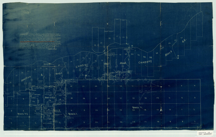
Hutchinson County Sketch File 15
11813, Hutchinson County Sketch File 15, General Map Collection
Print $20.00 - Digital $50.00

Hutchinson County Sketch File 15

Size: 20.7 x 26.7 inches
11813
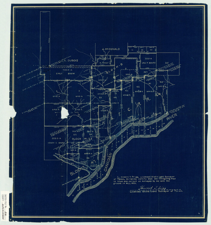
Hutchinson County Sketch File 26
11816, Hutchinson County Sketch File 26, General Map Collection
Print $20.00 - Digital $50.00

Hutchinson County Sketch File 26

1920

Size: 18.6 x 17.4 inches
11816
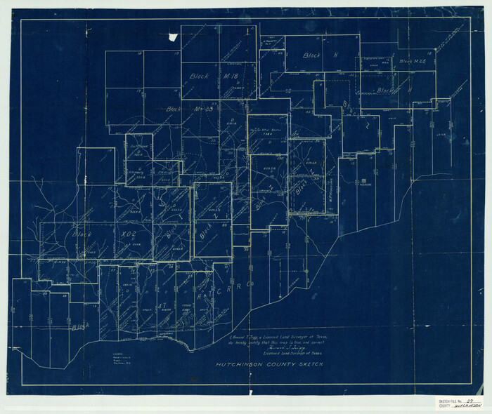
Hutchinson County Sketch File 27
11817, Hutchinson County Sketch File 27, General Map Collection
Print $20.00 - Digital $50.00

Hutchinson County Sketch File 27

Size: 21.0 x 24.9 inches
11817
Hutchinson County Sketch File 29
11818, Hutchinson County Sketch File 29, General Map Collection
Print $20.00 - Digital $50.00

Hutchinson County Sketch File 29

Size: 16.7 x 20.8 inches
11818
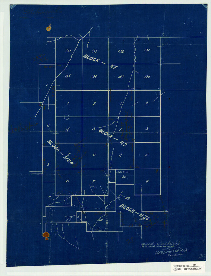
Hutchinson County Sketch File 31
11819, Hutchinson County Sketch File 31, General Map Collection
Print $20.00 - Digital $50.00

Hutchinson County Sketch File 31

Size: 19.9 x 15.2 inches
11819
Hutchinson County Sketch File 32
11820, Hutchinson County Sketch File 32, General Map Collection
Print $20.00 - Digital $50.00

Hutchinson County Sketch File 32

1924

Size: 16.7 x 18.0 inches
11820
Hutchinson County Sketch File 33
11821, Hutchinson County Sketch File 33, General Map Collection
Print $20.00 - Digital $50.00

Hutchinson County Sketch File 33

1926

Size: 26.5 x 24.5 inches
11821
Hutchinson County Sketch File 39
11822, Hutchinson County Sketch file 39, General Map Collection
Print $20.00 - Digital $50.00

Hutchinson County Sketch File 39

1938

Size: 23.5 x 19.0 inches
11822
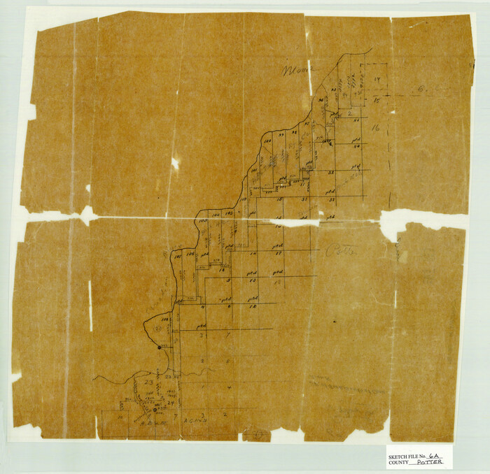
Potter County Sketch File 6A
12196, Potter County Sketch File 6A, General Map Collection
Print $20.00 - Digital $50.00

Potter County Sketch File 6A

Size: 16.7 x 17.3 inches
12196
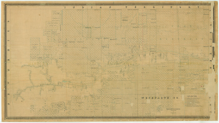
[Young Territory]
16784.tif
Print $40.00 - Digital $50.00

[Young Territory]

1875

Size: 49.0 x 87.4 inches
16784
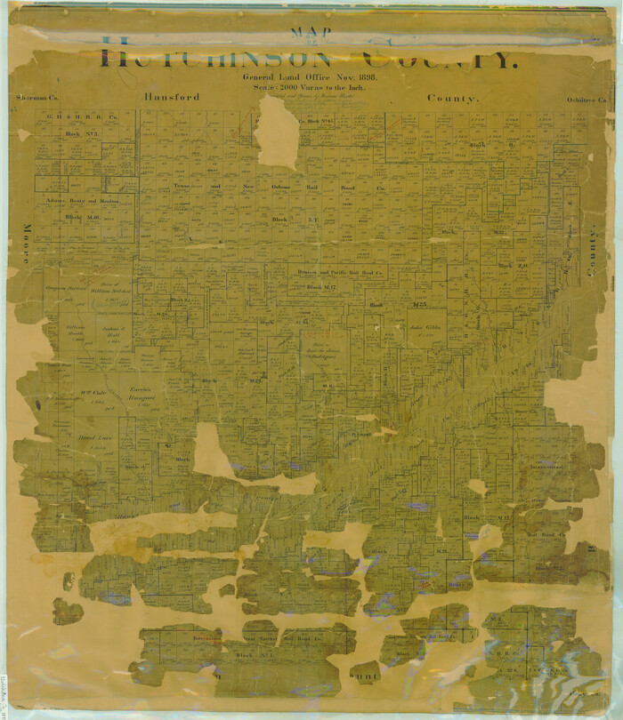
Map of Hutchinson County
16856.tif
Print $20.00 - Digital $50.00

Map of Hutchinson County

1898

Size: 41.0 x 35.4 inches
16856
Castro County Sketch File 4l
17487, Castro County Sketch File 4l, General Map Collection
Print $4.00 - Digital $50.00

Castro County Sketch File 4l

Size: 13.5 x 8.6 inches
17487
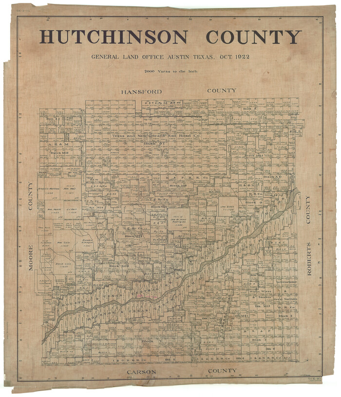
Hutchinson County
1863-GC.tif
Print $20.00 - Digital $50.00

Hutchinson County

1922

Size: 45.6 x 38.8 inches
1863
Gray County Sketch File B1
24398, Gray County Sketch File B1, General Map Collection
Print $26.00 - Digital $50.00

Gray County Sketch File B1

1882

Size: 8.9 x 8.6 inches
24398
Hansford County Sketch File 11
24972, Hansford County Sketch File 11, General Map Collection
Print $6.00 - Digital $50.00

Hansford County Sketch File 11

Size: 11.2 x 8.7 inches
24972
Hutchinson County Rolled Sketch 15
10201, Hutchinson County Rolled Sketch 15, General Map Collection
Print $47.00 - Digital $50.00

Hutchinson County Rolled Sketch 15

1911

  • Size

    28.9 x 27.0 inches

  • Map/Doc

    10201

  • Creation Date

    1911

Hansford County Sketch File 1
10475, Hansford County Sketch File 1, General Map Collection
Print $7.00 - Digital $50.00

Hansford County Sketch File 1

1888

  • Size

    39.0 x 31.3 inches

  • Map/Doc

    10475

  • Creation Date

    1888

Hansford County Sketch File 2
10476, Hansford County Sketch File 2, General Map Collection
Print $13.00 - Digital $50.00

Hansford County Sketch File 2

1901

  • Size

    76.7 x 25.5 inches

  • Map/Doc

    10476

  • Creation Date

    1901

Hutchinson County Sketch File 5
10498, Hutchinson County Sketch File 5, General Map Collection
Print $60.00 - Digital $50.00

Hutchinson County Sketch File 5

  • Size

    15.1 x 62.7 inches

  • Map/Doc

    10498

Hutchinson County Sketch File 10
10500, Hutchinson County Sketch File 10, General Map Collection
Print $40.00 - Digital $50.00

Hutchinson County Sketch File 10

  • Size

    55.8 x 9.2 inches

  • Map/Doc

    10500

Hutchinson County Sketch File 20m
10501, Hutchinson County Sketch File 20m, General Map Collection
Print $20.00 - Digital $50.00

Hutchinson County Sketch File 20m

  • Size

    36.2 x 43.6 inches

  • Map/Doc

    10501

Potter County Sketch File 2
10573, Potter County Sketch File 2, General Map Collection
Print $20.00 - Digital $50.00

Potter County Sketch File 2

1887

  • Size

    29.3 x 39.4 inches

  • Map/Doc

    10573

  • Creation Date

    1887

Potter County Sketch File 3
10574, Potter County Sketch File 3, General Map Collection
Print $20.00 - Digital $50.00

Potter County Sketch File 3

1883

  • Size

    37.5 x 47.6 inches

  • Map/Doc

    10574

  • Creation Date

    1883

Potter County Sketch File 6
10575, Potter County Sketch File 6, General Map Collection
Print $20.00 - Digital $50.00

Potter County Sketch File 6

1900

  • Size

    34.4 x 29.0 inches

  • Map/Doc

    10575

  • Creation Date

    1900

Roberts County Sketch File 1
10589, Roberts County Sketch File 1, General Map Collection
Print $20.00 - Digital $50.00

Roberts County Sketch File 1

  • Size

    39.2 x 22.3 inches

  • Map/Doc

    10589

Hutchinson County Sketch File 4a
10625, Hutchinson County Sketch File 4a, General Map Collection
Print $7.00 - Digital $50.00

Hutchinson County Sketch File 4a

  • Size

    25.9 x 43.8 inches

  • Map/Doc

    10625

Hutchinson County Rolled Sketch 37A
10676, Hutchinson County Rolled Sketch 37A, General Map Collection
Print $40.00 - Digital $50.00

Hutchinson County Rolled Sketch 37A

1950

  • Size

    24.6 x 50.5 inches

  • Map/Doc

    10676

  • Creation Date

    1950

Hutchinson County Rolled Sketch 38
10679, Hutchinson County Rolled Sketch 38, General Map Collection
Print $40.00 - Digital $50.00

Hutchinson County Rolled Sketch 38

1953

  • Size

    27.5 x 85.9 inches

  • Map/Doc

    10679

  • Creation Date

    1953

Gray County Sketch File B2
11579, Gray County Sketch File B2, General Map Collection
Print $20.00 - Digital $50.00

Gray County Sketch File B2

  • Size

    22.8 x 17.3 inches

  • Map/Doc

    11579

Hutchinson County Sketch File 14
11812, Hutchinson County Sketch File 14, General Map Collection
Print $20.00 - Digital $50.00

Hutchinson County Sketch File 14

1920

  • Size

    21.5 x 33.8 inches

  • Map/Doc

    11812

  • Creation Date

    1920

Hutchinson County Sketch File 15
11813, Hutchinson County Sketch File 15, General Map Collection
Print $20.00 - Digital $50.00

Hutchinson County Sketch File 15

  • Size

    20.7 x 26.7 inches

  • Map/Doc

    11813

Hutchinson County Sketch File 26
11816, Hutchinson County Sketch File 26, General Map Collection
Print $20.00 - Digital $50.00

Hutchinson County Sketch File 26

1920
  • Size

    18.6 x 17.4 inches

  • Map/Doc

    11816

  • Creation Date

    1920

Hutchinson County Sketch File 27
11817, Hutchinson County Sketch File 27, General Map Collection
Print $20.00 - Digital $50.00

Hutchinson County Sketch File 27

  • Size

    21.0 x 24.9 inches

  • Map/Doc

    11817

Hutchinson County Sketch File 29
11818, Hutchinson County Sketch File 29, General Map Collection
Print $20.00 - Digital $50.00

Hutchinson County Sketch File 29

  • Size

    16.7 x 20.8 inches

  • Map/Doc

    11818

Hutchinson County Sketch File 31
11819, Hutchinson County Sketch File 31, General Map Collection
Print $20.00 - Digital $50.00

Hutchinson County Sketch File 31

  • Size

    19.9 x 15.2 inches

  • Map/Doc

    11819

Hutchinson County Sketch File 32
11820, Hutchinson County Sketch File 32, General Map Collection
Print $20.00 - Digital $50.00

Hutchinson County Sketch File 32

1924

  • Size

    16.7 x 18.0 inches

  • Map/Doc

    11820

  • Creation Date

    1924

Hutchinson County Sketch File 33
11821, Hutchinson County Sketch File 33, General Map Collection
Print $20.00 - Digital $50.00

Hutchinson County Sketch File 33

1926

  • Size

    26.5 x 24.5 inches

  • Map/Doc

    11821

  • Creation Date

    1926

Hutchinson County Sketch File 39
11822, Hutchinson County Sketch file 39, General Map Collection
Print $20.00 - Digital $50.00

Hutchinson County Sketch File 39

1938
  • Size

    23.5 x 19.0 inches

  • Map/Doc

    11822

  • Creation Date

    1938

Potter County Sketch File 6A
12196, Potter County Sketch File 6A, General Map Collection
Print $20.00 - Digital $50.00

Potter County Sketch File 6A

  • Size

    16.7 x 17.3 inches

  • Map/Doc

    12196

[Young Territory]
16784, [Young Territory], General Map Collection
Print $40.00 - Digital $50.00

[Young Territory]

1875

  • Size

    49.0 x 87.4 inches

  • Map/Doc

    16784

  • Creation Date

    1875

Map of Hutchinson County
16856, Map of Hutchinson County, General Map Collection
Print $20.00 - Digital $50.00

Map of Hutchinson County

1898

  • Size

    41.0 x 35.4 inches

  • Map/Doc

    16856

  • Creation Date

    1898

Castro County Sketch File 4l
17487, Castro County Sketch File 4l, General Map Collection
Print $4.00 - Digital $50.00

Castro County Sketch File 4l

  • Size

    13.5 x 8.6 inches

  • Map/Doc

    17487

Hutchinson County
1863, Hutchinson County, General Map Collection
Print $20.00 - Digital $50.00

Hutchinson County

1922

  • Size

    45.6 x 38.8 inches

  • Map/Doc

    1863

  • Creation Date

    1922

Gray County Sketch File B1
24398, Gray County Sketch File B1, General Map Collection
Print $26.00 - Digital $50.00

Gray County Sketch File B1

1882

  • Size

    8.9 x 8.6 inches

  • Map/Doc

    24398

  • Creation Date

    1882

Hansford County Sketch File 11
24972, Hansford County Sketch File 11, General Map Collection
Print $6.00 - Digital $50.00

Hansford County Sketch File 11

  • Size

    11.2 x 8.7 inches

  • Map/Doc

    24972