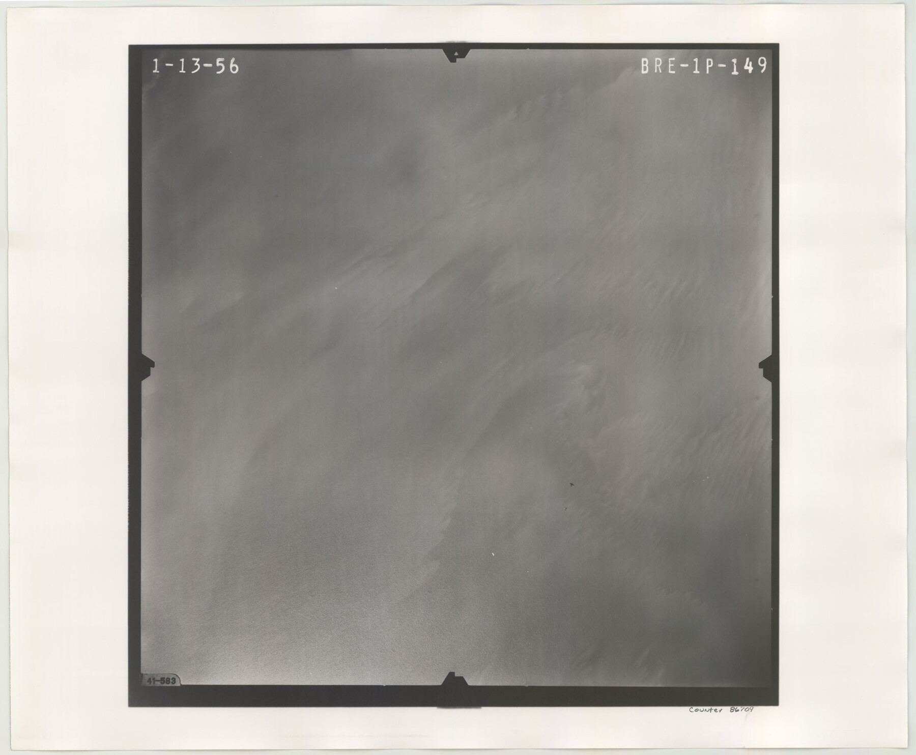
Flight Mission No. BRE-1P, Frame 149, Nueces County
BRE-1P-149
-
Map/Doc
86709
-
Collection
General Map Collection
-
Object Dates
1956/1/13 (Creation Date)
-
People and Organizations
U. S. Department of Agriculture (Publisher)
-
Counties
Nueces
-
Subjects
Aerial Photograph
-
Height x Width
18.3 x 22.3 inches
46.5 x 56.6 cm
-
Comments
Flown by V. L. Beavers and Associates of San Antonio, Texas.
Part of: General Map Collection
Kimble County Working Sketch 1

Print $20.00
- Digital $50.00
Kimble County Working Sketch 1
Size 14.7 x 18.3 inches
Map/Doc 70069
Bastrop County Rolled Sketch 2

Print $20.00
- Digital $50.00
Bastrop County Rolled Sketch 2
1979
Size 26.3 x 18.4 inches
Map/Doc 5123
Camp County Working Sketch 1

Print $20.00
- Digital $50.00
Camp County Working Sketch 1
1970
Size 32.9 x 29.7 inches
Map/Doc 67877
[Sketch for Mineral Application 1487 -Big Wichita River, Ernest R. Smith]
![65684, [Sketch for Mineral Application 1487 -Big Wichita River, Ernest R. Smith], General Map Collection](https://historictexasmaps.com/wmedia_w700/maps/65684.tif.jpg)
Print $40.00
- Digital $50.00
[Sketch for Mineral Application 1487 -Big Wichita River, Ernest R. Smith]
1918
Size 32.2 x 130.1 inches
Map/Doc 65684
Jack County Sketch File 15

Print $4.00
- Digital $50.00
Jack County Sketch File 15
1880
Size 7.3 x 13.7 inches
Map/Doc 27545
Terrell County Working Sketch 32

Print $20.00
- Digital $50.00
Terrell County Working Sketch 32
1945
Size 33.0 x 36.9 inches
Map/Doc 62124
Trails made and routes used by the Fourth U.S. Cavalry under command of General R.S. Mackenzie in its operations against hostile indians in Texas, Indian-Territory (now Oklahoma), New Mexico and Old Mexico during the period of 1871-2-3-4 and 5

Print $20.00
- Digital $50.00
Trails made and routes used by the Fourth U.S. Cavalry under command of General R.S. Mackenzie in its operations against hostile indians in Texas, Indian-Territory (now Oklahoma), New Mexico and Old Mexico during the period of 1871-2-3-4 and 5
1927
Size 37.0 x 34.2 inches
Map/Doc 62973
Milam County Rolled Sketch 3B

Print $20.00
- Digital $50.00
Milam County Rolled Sketch 3B
1967
Size 30.8 x 24.5 inches
Map/Doc 6775
Throckmorton County Boundary File 6

Print $6.00
- Digital $50.00
Throckmorton County Boundary File 6
Size 11.4 x 8.9 inches
Map/Doc 59292
Llano County Rolled Sketch 2

Print $20.00
- Digital $50.00
Llano County Rolled Sketch 2
Size 18.2 x 27.3 inches
Map/Doc 9459
Chambers County NRC Article 33.136 Sketch 14

Print $42.00
- Digital $50.00
Chambers County NRC Article 33.136 Sketch 14
Size 34.5 x 22.6 inches
Map/Doc 97016
Briscoe County Sketch File 5

Print $40.00
- Digital $50.00
Briscoe County Sketch File 5
Size 29.8 x 26.5 inches
Map/Doc 10994
You may also like
Hardin County Rolled Sketch 13

Print $20.00
- Digital $50.00
Hardin County Rolled Sketch 13
Size 36.0 x 42.3 inches
Map/Doc 9187
Bee County Sketch File 25

Print $4.00
- Digital $50.00
Bee County Sketch File 25
1880
Size 11.0 x 8.2 inches
Map/Doc 14326
Map of Coryell Co.

Print $40.00
- Digital $50.00
Map of Coryell Co.
1896
Size 48.0 x 46.2 inches
Map/Doc 66786
Palo Pinto County Sketch File 4

Print $4.00
- Digital $50.00
Palo Pinto County Sketch File 4
1870
Size 8.2 x 12.9 inches
Map/Doc 33394
Brooks County Sketch File 5

Print $18.00
- Digital $50.00
Brooks County Sketch File 5
1941
Size 11.3 x 9.0 inches
Map/Doc 16551
Hardin County Rolled Sketch 19

Print $20.00
- Digital $50.00
Hardin County Rolled Sketch 19
1953
Size 41.2 x 33.8 inches
Map/Doc 10677
Edwards County Working Sketch 51

Print $20.00
- Digital $50.00
Edwards County Working Sketch 51
1950
Size 21.8 x 22.7 inches
Map/Doc 68927
Wilson Strickland Survey, Exhibit A

Print $20.00
- Digital $50.00
Wilson Strickland Survey, Exhibit A
Size 20.8 x 23.0 inches
Map/Doc 91368
Jasper County Working Sketch 8

Print $20.00
- Digital $50.00
Jasper County Working Sketch 8
1915
Size 20.1 x 31.4 inches
Map/Doc 66470
Starr County Working Sketch 12

Print $20.00
- Digital $50.00
Starr County Working Sketch 12
1949
Size 43.2 x 25.5 inches
Map/Doc 63928
General Highway Map, Kimble County, Texas

Print $20.00
General Highway Map, Kimble County, Texas
1961
Size 24.6 x 18.2 inches
Map/Doc 79554
Flight Mission No. DQO-2K, Frame 145, Galveston County

Print $20.00
- Digital $50.00
Flight Mission No. DQO-2K, Frame 145, Galveston County
1952
Size 18.8 x 22.5 inches
Map/Doc 85042