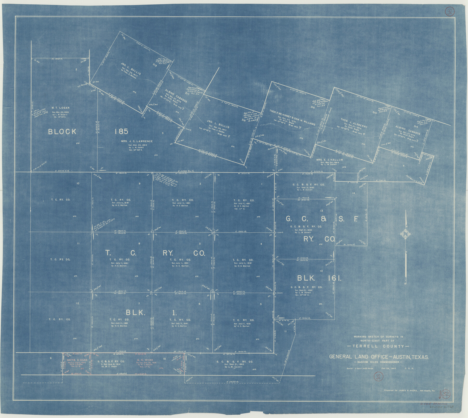
Terrell County Working Sketch 32
-
Map/Doc
62124
-
Collection
General Map Collection
-
Object Dates
2/28/1945 (Creation Date)
-
People and Organizations
Otto G. Kurio (Draftsman)
-
Counties
Terrell
-
Subjects
Surveying Working Sketch
-
Height x Width
33.0 x 36.9 inches
83.8 x 93.7 cm
-
Scale
1" = 400 varas
Part of: General Map Collection
Stonewall County

Print $20.00
- Digital $50.00
Stonewall County
1933
Size 47.6 x 39.5 inches
Map/Doc 73295
Controlled Mosaic by Jack Amman Photogrammetric Engineers, Inc - Sheet 47

Print $20.00
- Digital $50.00
Controlled Mosaic by Jack Amman Photogrammetric Engineers, Inc - Sheet 47
1954
Size 20.0 x 24.0 inches
Map/Doc 83506
Railroad Track Map, H&TCRRCo., Falls County, Texas

Print $4.00
- Digital $50.00
Railroad Track Map, H&TCRRCo., Falls County, Texas
1918
Size 11.7 x 18.5 inches
Map/Doc 62839
Foard County Sketch File 1

Print $6.00
- Digital $50.00
Foard County Sketch File 1
Size 10.0 x 9.5 inches
Map/Doc 22804
Chambers County Working Sketch 29

Print $20.00
- Digital $50.00
Chambers County Working Sketch 29
2009
Size 25.2 x 18.6 inches
Map/Doc 89232
Williamson County Working Sketch 16

Print $20.00
- Digital $50.00
Williamson County Working Sketch 16
1984
Size 31.9 x 23.7 inches
Map/Doc 72576
Kerr County Working Sketch 19

Print $20.00
- Digital $50.00
Kerr County Working Sketch 19
1959
Size 34.5 x 41.3 inches
Map/Doc 70050
Bowie County Working Sketch 6

Print $20.00
- Digital $50.00
Bowie County Working Sketch 6
1928
Size 27.4 x 22.9 inches
Map/Doc 67410
Austin County Rolled Sketch 7

Print $47.00
- Digital $50.00
Austin County Rolled Sketch 7
1974
Size 10.4 x 15.3 inches
Map/Doc 42340
Val Verde County Working Sketch 45

Print $20.00
- Digital $50.00
Val Verde County Working Sketch 45
1945
Size 29.2 x 25.2 inches
Map/Doc 72180
Chambers County Rolled Sketch 12

Print $20.00
- Digital $50.00
Chambers County Rolled Sketch 12
1935
Size 36.4 x 30.9 inches
Map/Doc 8613
Oldham County Sketch File 7

Print $86.00
- Digital $50.00
Oldham County Sketch File 7
1885
Size 9.4 x 9.1 inches
Map/Doc 33236
You may also like
Mills County Sketch File 28

Print $8.00
- Digital $50.00
Mills County Sketch File 28
2000
Size 14.3 x 8.7 inches
Map/Doc 31684

Fractional Township No. 11 South Range No. 27 East of the Indian Meridian, Indian Territory

Print $20.00
- Digital $50.00
Fractional Township No. 11 South Range No. 27 East of the Indian Meridian, Indian Territory
1897
Size 19.2 x 24.3 inches
Map/Doc 75247
Motley County Sketch File 9 (N)

Print $10.00
- Digital $50.00
Motley County Sketch File 9 (N)
1902
Size 11.1 x 8.6 inches
Map/Doc 32019
Montgomery County Working Sketch 27

Print $20.00
- Digital $50.00
Montgomery County Working Sketch 27
1942
Size 42.1 x 33.4 inches
Map/Doc 71134
Bell County, Milam District

Print $20.00
- Digital $50.00
Bell County, Milam District
1877
Size 23.5 x 28.6 inches
Map/Doc 3293
Val Verde County Sketch File Z18

Print $4.00
- Digital $50.00
Val Verde County Sketch File Z18
1910
Size 14.0 x 8.8 inches
Map/Doc 39148
Map of Leon County

Print $40.00
- Digital $50.00
Map of Leon County
1916
Size 48.4 x 40.8 inches
Map/Doc 16877
Chocolate Bay, West Portion of West Bay and Vicinity, and Galveston Cos. Showing Subdivision for Mineral Development.

Print $40.00
- Digital $50.00
Chocolate Bay, West Portion of West Bay and Vicinity, and Galveston Cos. Showing Subdivision for Mineral Development.
1948
Size 43.0 x 55.9 inches
Map/Doc 3012
Borden County Rolled Sketch 6

Print $20.00
- Digital $50.00
Borden County Rolled Sketch 6
Size 24.6 x 18.6 inches
Map/Doc 5156
Flight Mission No. CRE-1R, Frame 197, Jackson County

Print $20.00
- Digital $50.00
Flight Mission No. CRE-1R, Frame 197, Jackson County
1956
Size 18.5 x 22.4 inches
Map/Doc 85351
Grayson County Working Sketch 17

Print $20.00
- Digital $50.00
Grayson County Working Sketch 17
1955
Size 16.0 x 42.5 inches
Map/Doc 63256