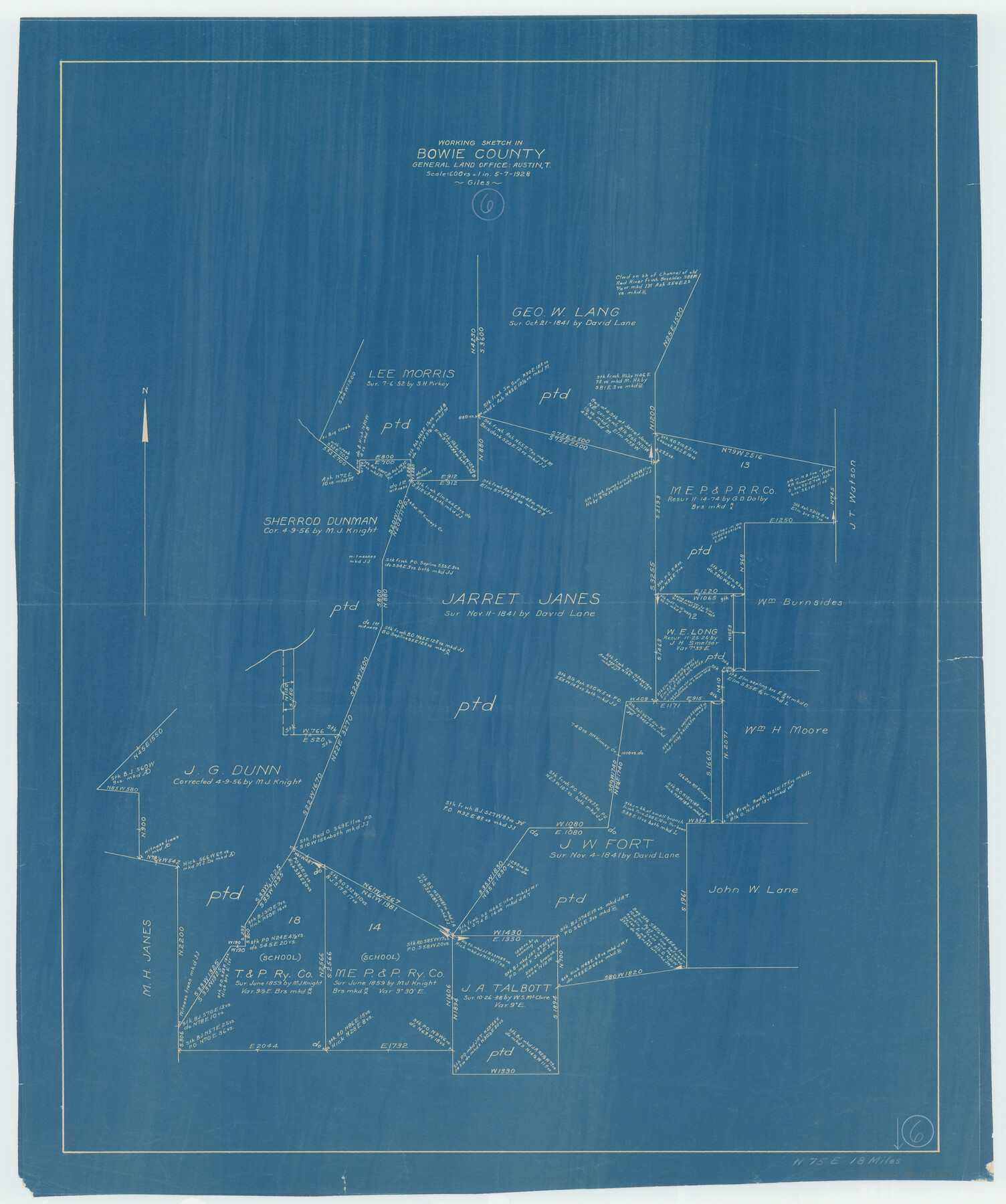
Bowie County Working Sketch 6
-
Map/Doc
67410
-
Collection
General Map Collection
-
Object Dates
5/7/1928 (Creation Date)
-
People and Organizations
J. Bascom Giles (Draftsman)
-
Counties
Bowie
-
Subjects
Surveying Working Sketch
-
Height x Width
27.4 x 22.9 inches
69.6 x 58.2 cm
-
Scale
1" = 600 varas
-
Comments
Surveys located about 18 miles North 75 degrees East of Boston, Texas.
Part of: General Map Collection
Revised Map of Austin, Texas

Print $20.00
- Digital $50.00
Revised Map of Austin, Texas
Size 16.9 x 13.3 inches
Map/Doc 95387
Culberson County Working Sketch 65

Print $40.00
- Digital $50.00
Culberson County Working Sketch 65
1975
Size 49.0 x 34.9 inches
Map/Doc 68519
Map from Corpus Christi to Matagorda Bays, Texas [Inset: Survey of the channel of Copono Bay]
![72974, Map from Corpus Christi to Matagorda Bays, Texas [Inset: Survey of the channel of Copono Bay], General Map Collection](https://historictexasmaps.com/wmedia_w700/maps/72974.tif.jpg)
Print $20.00
- Digital $50.00
Map from Corpus Christi to Matagorda Bays, Texas [Inset: Survey of the channel of Copono Bay]
1846
Size 18.3 x 27.5 inches
Map/Doc 72974
Flight Mission No. CUI-1H, Frame 97, Milam County

Print $20.00
- Digital $50.00
Flight Mission No. CUI-1H, Frame 97, Milam County
1951
Size 18.5 x 22.2 inches
Map/Doc 86605
Map of Fannin County

Print $20.00
- Digital $50.00
Map of Fannin County
1866
Size 21.9 x 18.1 inches
Map/Doc 3534
Sabine County Sketch File 2

Print $4.00
Sabine County Sketch File 2
Size 10.0 x 7.9 inches
Map/Doc 35602
Montgomery County Rolled Sketch 32

Print $40.00
- Digital $50.00
Montgomery County Rolled Sketch 32
1949
Size 59.9 x 40.4 inches
Map/Doc 9540
Coleman County Sketch File 43a

Print $6.00
- Digital $50.00
Coleman County Sketch File 43a
1892
Size 13.2 x 8.2 inches
Map/Doc 18780
Leon County Working Sketch 49

Print $20.00
- Digital $50.00
Leon County Working Sketch 49
1981
Size 23.9 x 24.7 inches
Map/Doc 70448
Flight Mission No. CUG-2P, Frame 88, Kleberg County

Print $20.00
- Digital $50.00
Flight Mission No. CUG-2P, Frame 88, Kleberg County
1956
Size 18.5 x 22.2 inches
Map/Doc 86220
Oldham County Working Sketch 5

Print $40.00
- Digital $50.00
Oldham County Working Sketch 5
1951
Size 43.0 x 59.3 inches
Map/Doc 71327
Flight Mission No. BRA-8M, Frame 72, Jefferson County

Print $20.00
- Digital $50.00
Flight Mission No. BRA-8M, Frame 72, Jefferson County
1953
Size 18.6 x 22.2 inches
Map/Doc 85592
You may also like
Flight Mission No. DIX-7P, Frame 85, Aransas County

Print $20.00
- Digital $50.00
Flight Mission No. DIX-7P, Frame 85, Aransas County
1956
Size 18.7 x 22.4 inches
Map/Doc 83879
Upshur County Working Sketch 13

Print $20.00
- Digital $50.00
Upshur County Working Sketch 13
1992
Size 29.7 x 42.5 inches
Map/Doc 69570
Fort Bend County Rolled Sketch 1

Print $20.00
- Digital $50.00
Fort Bend County Rolled Sketch 1
Size 24.3 x 27.5 inches
Map/Doc 5891
La Salle County Working Sketch 8

Print $20.00
- Digital $50.00
La Salle County Working Sketch 8
1922
Size 19.0 x 18.3 inches
Map/Doc 70309
Travis County Working Sketch 36

Print $20.00
- Digital $50.00
Travis County Working Sketch 36
1967
Size 23.4 x 30.8 inches
Map/Doc 69420
Loving County Sketch File 8

Print $44.00
- Digital $50.00
Loving County Sketch File 8
2002
Size 11.2 x 8.7 inches
Map/Doc 76377
Colorado County Sketch File 33

Print $44.00
- Digital $50.00
Colorado County Sketch File 33
1847
Size 13.2 x 16.2 inches
Map/Doc 18988
Webb County Rolled Sketch 67

Print $20.00
- Digital $50.00
Webb County Rolled Sketch 67
1927
Size 31.4 x 32.0 inches
Map/Doc 10130
[Surveying Sketch of W.B. Tatum, Wm. B. Jordan, et al]
![428, [Surveying Sketch of W.B. Tatum, Wm. B. Jordan, et al], Maddox Collection](https://historictexasmaps.com/wmedia_w700/maps/0428.tif.jpg)
Print $2.00
- Digital $50.00
[Surveying Sketch of W.B. Tatum, Wm. B. Jordan, et al]
Size 8.9 x 10.8 inches
Map/Doc 428
Section 77, Block "A", Sylvan Sanders Survey

Print $20.00
- Digital $50.00
Section 77, Block "A", Sylvan Sanders Survey
1953
Size 24.7 x 16.0 inches
Map/Doc 92716
Flight Mission No. DCL-7C, Frame 36, Kenedy County

Print $20.00
- Digital $50.00
Flight Mission No. DCL-7C, Frame 36, Kenedy County
1943
Size 18.5 x 22.4 inches
Map/Doc 86024
Texas Gulf Coast, from the Sabine River to the Rio Grande as Subdivided for Mineral Development; Aransas, Nueces, Kleberg, Kenedy, Willacy, and Cameron Counties

Print $40.00
- Digital $50.00
Texas Gulf Coast, from the Sabine River to the Rio Grande as Subdivided for Mineral Development; Aransas, Nueces, Kleberg, Kenedy, Willacy, and Cameron Counties
1976
Size 118.0 x 43.0 inches
Map/Doc 1940