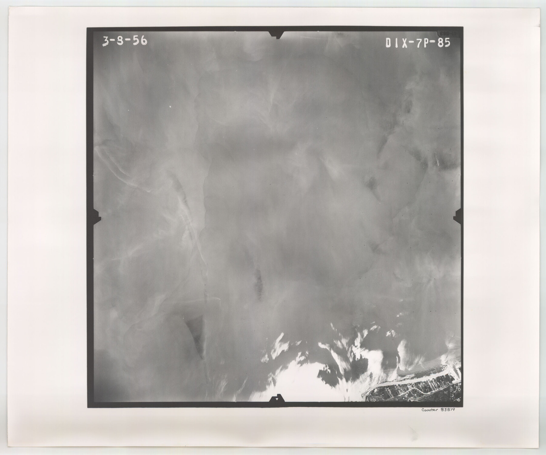
Flight Mission No. DIX-7P, Frame 85, Aransas County
DIX-7P-85
-
Map/Doc
83879
-
Collection
General Map Collection
-
Object Dates
1956/3/8 (Creation Date)
-
People and Organizations
U. S. Department of Agriculture (Publisher)
-
Counties
Aransas
-
Subjects
Aerial Photograph
-
Height x Width
18.7 x 22.4 inches
47.5 x 56.9 cm
-
Comments
Flown by V. L. Beavers and Associates of San Antonio, Texas.
Part of: General Map Collection
Bexar County Sketch File 30

Print $8.00
- Digital $50.00
Bexar County Sketch File 30
1867
Size 9.5 x 8.2 inches
Map/Doc 14492
San Patricio County Rolled Sketch 46F

Print $4.00
- Digital $50.00
San Patricio County Rolled Sketch 46F
1983
Size 18.0 x 23.1 inches
Map/Doc 8377
Howard County Rolled Sketch 10

Print $20.00
- Digital $50.00
Howard County Rolled Sketch 10
Size 19.5 x 21.3 inches
Map/Doc 6240
Flight Mission No. DQN-2K, Frame 23, Calhoun County

Print $20.00
- Digital $50.00
Flight Mission No. DQN-2K, Frame 23, Calhoun County
1953
Size 17.4 x 19.3 inches
Map/Doc 84230
Map of Jasper County Republic of Texas

Print $20.00
- Digital $50.00
Map of Jasper County Republic of Texas
1841
Size 36.1 x 30.0 inches
Map/Doc 3712
Goliad County Sketch File 40

Print $20.00
- Digital $50.00
Goliad County Sketch File 40
1949
Size 23.9 x 36.0 inches
Map/Doc 11572
Jefferson County Rolled Sketch 11

Print $40.00
- Digital $50.00
Jefferson County Rolled Sketch 11
Size 35.4 x 49.8 inches
Map/Doc 9277
Map exhibiting the lines of march passed over by the troops of the United States during the year ending June 30th, 1858 prepared by order of the Hon. J.B. Floyd, Sec. War.

Print $20.00
- Digital $50.00
Map exhibiting the lines of march passed over by the troops of the United States during the year ending June 30th, 1858 prepared by order of the Hon. J.B. Floyd, Sec. War.
1858
Size 20.0 x 20.3 inches
Map/Doc 94079
Jasper County Sketch File 7

Print $22.00
- Digital $50.00
Jasper County Sketch File 7
Size 12.4 x 15.4 inches
Map/Doc 27775
Liberty County Sketch File 51

Print $4.00
- Digital $50.00
Liberty County Sketch File 51
Size 7.9 x 13.8 inches
Map/Doc 30017
Duval County Sketch File 52

Print $20.00
- Digital $50.00
Duval County Sketch File 52
1936
Size 21.0 x 28.6 inches
Map/Doc 11402
Flight Mission No. CGI-4N, Frame 190, Cameron County

Print $20.00
- Digital $50.00
Flight Mission No. CGI-4N, Frame 190, Cameron County
1955
Size 18.5 x 22.2 inches
Map/Doc 84693
You may also like
Plano del Presidio de Bahia dl Espiritus to dep te d' la Governacion de los Tejas

Plano del Presidio de Bahia dl Espiritus to dep te d' la Governacion de los Tejas
1766
Size 10.2 x 13.0 inches
Map/Doc 96516
Flight Mission No. DCL-7C, Frame 12, Kenedy County

Print $20.00
- Digital $50.00
Flight Mission No. DCL-7C, Frame 12, Kenedy County
1943
Size 15.4 x 15.3 inches
Map/Doc 86004
Cass County Working Sketch 11

Print $3.00
- Digital $50.00
Cass County Working Sketch 11
Size 14.8 x 10.3 inches
Map/Doc 67914
Jeff Davis County Rolled Sketch 18

Print $20.00
- Digital $50.00
Jeff Davis County Rolled Sketch 18
1938
Size 27.3 x 30.5 inches
Map/Doc 6371
Newton County Rolled Sketch JFB

Print $20.00
- Digital $50.00
Newton County Rolled Sketch JFB
1936
Size 16.0 x 38.3 inches
Map/Doc 6858
Galveston County Rolled Sketch 11

Print $40.00
- Digital $50.00
Galveston County Rolled Sketch 11
1928
Size 29.7 x 169.5 inches
Map/Doc 9089
Bosque County Working Sketch 9

Print $20.00
- Digital $50.00
Bosque County Working Sketch 9
1943
Size 11.2 x 18.3 inches
Map/Doc 67442
Galveston County Working Sketch 20

Print $20.00
- Digital $50.00
Galveston County Working Sketch 20
1983
Size 28.1 x 38.0 inches
Map/Doc 69357
Houston County Rolled Sketch 4

Print $40.00
- Digital $50.00
Houston County Rolled Sketch 4
Size 42.2 x 52.1 inches
Map/Doc 9181
Val Verde County Working Sketch 106

Print $20.00
- Digital $50.00
Val Verde County Working Sketch 106
1984
Size 30.4 x 40.8 inches
Map/Doc 72241
El Paso County Rolled Sketch 63

Print $20.00
- Digital $50.00
El Paso County Rolled Sketch 63
1996
Size 24.7 x 36.8 inches
Map/Doc 5855
Kendall County Sketch File 15

Print $4.00
- Digital $50.00
Kendall County Sketch File 15
1860
Size 12.4 x 7.8 inches
Map/Doc 28703