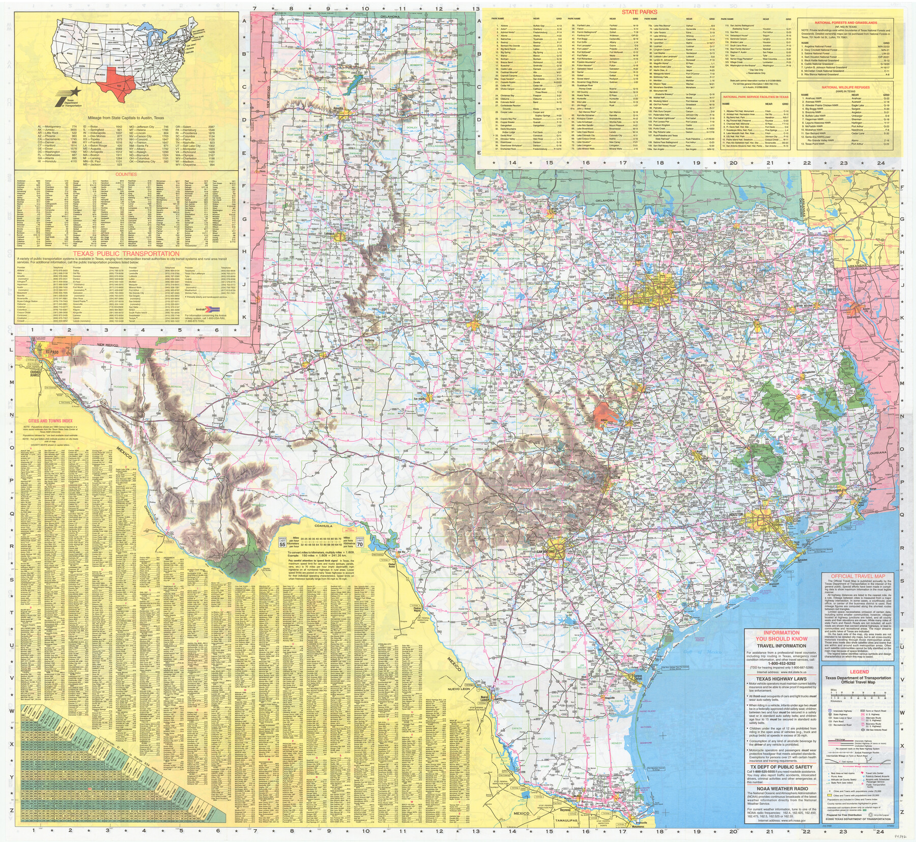
Texas Official Travel Map
[Verso - map of Texas]
-
Map/Doc
94392
-
Collection
General Map Collection
-
Object Dates
2000 (Edition Date)
-
People and Organizations
Texas Department of Transportation (Publisher)
-
Subjects
State of Texas
-
Height x Width
33.4 x 36.3 inches
84.8 x 92.2 cm
-
Medium
paper, etching/engraving/lithograph
-
Comments
For map of various Texas cities on recto, see 94391. For research only.
Related maps

Part of: General Map Collection
Polk County Rolled Sketch 32

Print $20.00
- Digital $50.00
Polk County Rolled Sketch 32
Size 21.6 x 15.8 inches
Map/Doc 7318
No. 3 Chart of Channel connecting Corpus Christi Bay with Aransas Bay, Texas

Print $20.00
- Digital $50.00
No. 3 Chart of Channel connecting Corpus Christi Bay with Aransas Bay, Texas
1878
Size 18.3 x 27.5 inches
Map/Doc 72784
Right of Way & Track Map, St. Louis, Brownsville & Mexico Ry. operated by St. Louis, Brownsville & Mexico Ry. Co.

Print $40.00
- Digital $50.00
Right of Way & Track Map, St. Louis, Brownsville & Mexico Ry. operated by St. Louis, Brownsville & Mexico Ry. Co.
1919
Size 25.4 x 57.1 inches
Map/Doc 64618
Edwards County Working Sketch 126

Print $20.00
- Digital $50.00
Edwards County Working Sketch 126
1980
Size 33.5 x 47.0 inches
Map/Doc 69002
Wichita County Rolled Sketch 18

Print $20.00
- Digital $50.00
Wichita County Rolled Sketch 18
1924
Size 30.0 x 40.5 inches
Map/Doc 8253
Young County Boundary File 1

Print $8.00
- Digital $50.00
Young County Boundary File 1
Size 10.3 x 8.2 inches
Map/Doc 60198
Pecos County Sketch File 97

Print $6.00
- Digital $50.00
Pecos County Sketch File 97
1957
Size 11.4 x 17.2 inches
Map/Doc 34000
Rusk County Sketch File 18

Print $4.00
Rusk County Sketch File 18
Size 8.3 x 8.9 inches
Map/Doc 35524
Duval County Sketch File 74

Print $42.00
- Digital $50.00
Duval County Sketch File 74
Size 10.1 x 8.8 inches
Map/Doc 21465
Kleberg County Sketch File 2

Print $5.00
- Digital $50.00
Kleberg County Sketch File 2
1934
Size 11.1 x 8.8 inches
Map/Doc 29210
Sabine Pass and Lake

Print $20.00
- Digital $50.00
Sabine Pass and Lake
1975
Size 46.9 x 27.8 inches
Map/Doc 69827
Bexar County Sketch File 53

Print $8.00
- Digital $50.00
Bexar County Sketch File 53
Size 11.4 x 8.9 inches
Map/Doc 14539
You may also like
Coleman County Working Sketch 2

Print $20.00
- Digital $50.00
Coleman County Working Sketch 2
1917
Size 15.0 x 16.8 inches
Map/Doc 68068
Sherman County Rolled Sketch 4

Print $20.00
- Digital $50.00
Sherman County Rolled Sketch 4
Size 23.1 x 31.7 inches
Map/Doc 7786
Zapata County Working Sketch 8

Print $20.00
- Digital $50.00
Zapata County Working Sketch 8
1949
Size 25.3 x 23.1 inches
Map/Doc 62059
Bee County Boundary File 7

Print $8.00
- Digital $50.00
Bee County Boundary File 7
Size 12.7 x 8.1 inches
Map/Doc 50460
Official Highway Map of Texas

Print $20.00
Official Highway Map of Texas
1928
Size 42.3 x 46.2 inches
Map/Doc 79746
Bird's Eye View of the City of Dallas, Texas

Print $20.00
Bird's Eye View of the City of Dallas, Texas
1872
Size 18.6 x 25.6 inches
Map/Doc 89080
Blanco County Rolled Sketch 5

Print $20.00
- Digital $50.00
Blanco County Rolled Sketch 5
Size 15.6 x 17.0 inches
Map/Doc 5143
Uvalde County

Print $20.00
- Digital $50.00
Uvalde County
1976
Size 42.0 x 45.4 inches
Map/Doc 77444
La Salle County Working Sketch 29

Print $20.00
- Digital $50.00
La Salle County Working Sketch 29
1955
Size 25.8 x 27.4 inches
Map/Doc 70330
Lipscomb County Sketch File 2

Print $20.00
- Digital $50.00
Lipscomb County Sketch File 2
1902
Size 10.7 x 8.2 inches
Map/Doc 30223
Map of Texas and Parts of Adjoining Territories

Print $20.00
Map of Texas and Parts of Adjoining Territories
1899
Size 33.7 x 36.0 inches
Map/Doc 79304
Brazoria County Working Sketch Graphic Index

Print $20.00
- Digital $50.00
Brazoria County Working Sketch Graphic Index
1947
Size 41.0 x 38.1 inches
Map/Doc 76471