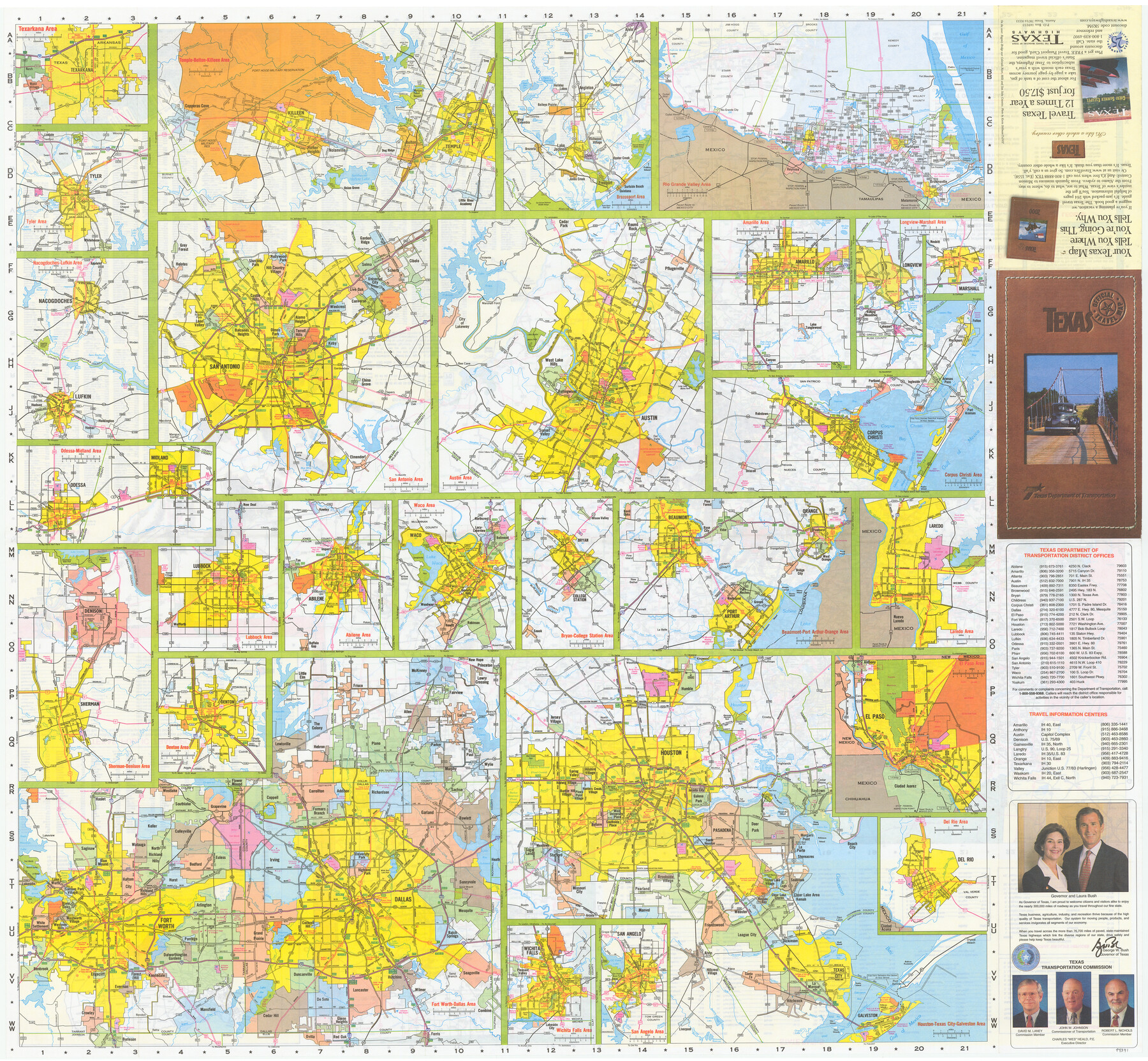
Texas Official Travel Map
[Recto - various Texas cities]
-
Map/Doc
94391
-
Collection
General Map Collection
-
Object Dates
2000 (Edition Date)
-
People and Organizations
Texas Department of Transportation (Publisher)
-
Subjects
City
-
Height x Width
33.6 x 36.4 inches
85.3 x 92.5 cm
-
Medium
paper, etching/engraving/lithograph
-
Comments
For map of Texas on verso, see 94392. For research only.
Related maps

Part of: General Map Collection
Mason County Working Sketch 21

Print $20.00
- Digital $50.00
Mason County Working Sketch 21
1945
Size 37.1 x 43.2 inches
Map/Doc 70857
Hutchinson County Sketch File 43

Print $4.00
- Digital $50.00
Hutchinson County Sketch File 43
1891
Size 11.2 x 8.8 inches
Map/Doc 27309
Val Verde County Sketch File A1

Print $6.00
- Digital $50.00
Val Verde County Sketch File A1
1895
Size 14.4 x 9.2 inches
Map/Doc 39038
Bosque County Working Sketch 23

Print $20.00
- Digital $50.00
Bosque County Working Sketch 23
1984
Size 17.4 x 23.6 inches
Map/Doc 67456
Lynn County Working Sketch 3

Print $20.00
- Digital $50.00
Lynn County Working Sketch 3
1953
Size 30.8 x 30.9 inches
Map/Doc 70673
Dickens County Sketch File GW3

Print $40.00
- Digital $50.00
Dickens County Sketch File GW3
Size 13.9 x 26.6 inches
Map/Doc 11335
Palo Pinto County Sketch File 24

Print $20.00
- Digital $50.00
Palo Pinto County Sketch File 24
Size 21.0 x 32.8 inches
Map/Doc 12136

Tarrant County Sketch File 14

Print $7.00
- Digital $50.00
Tarrant County Sketch File 14
1859
Size 10.2 x 8.4 inches
Map/Doc 37705
Fort Bend County Boundary File 2a

Print $42.00
- Digital $50.00
Fort Bend County Boundary File 2a
Size 23.7 x 34.3 inches
Map/Doc 53563
Cherokee County Sketch File 5

Print $12.00
- Digital $50.00
Cherokee County Sketch File 5
1852
Size 12.4 x 8.6 inches
Map/Doc 18120
Tyler County Working Sketch 26

Print $20.00
- Digital $50.00
Tyler County Working Sketch 26
Size 27.7 x 46.3 inches
Map/Doc 69496
You may also like
Victoria County Aerial Photograph Index Sheet 5

Print $20.00
- Digital $50.00
Victoria County Aerial Photograph Index Sheet 5
1953
Size 19.8 x 23.6 inches
Map/Doc 83749
Young County Sketch File 6

Print $14.00
- Digital $50.00
Young County Sketch File 6
Size 13.0 x 8.2 inches
Map/Doc 40852
Armstrong County Rolled Sketch 4

Print $40.00
- Digital $50.00
Armstrong County Rolled Sketch 4
1876
Size 37.8 x 70.8 inches
Map/Doc 8426
Brazoria County Sketch File 39

Print $8.00
- Digital $50.00
Brazoria County Sketch File 39
1933
Size 11.3 x 8.8 inches
Map/Doc 15045
Panola County Sketch File 30

Print $4.00
- Digital $50.00
Panola County Sketch File 30
1944
Size 2.8 x 8.9 inches
Map/Doc 33505
Webb County Sketch File 56

Print $20.00
- Digital $50.00
Webb County Sketch File 56
1940
Size 18.4 x 20.7 inches
Map/Doc 12651
Map of Texas comprising the grant of the Texian Emigration and Land-Company

Print $20.00
- Digital $50.00
Map of Texas comprising the grant of the Texian Emigration and Land-Company
1843
Size 9.4 x 10.1 inches
Map/Doc 94049
Brewster County Rolled Sketch 63

Print $40.00
- Digital $50.00
Brewster County Rolled Sketch 63
1939
Size 77.1 x 43.6 inches
Map/Doc 8488
Little River, Faubion Bridge Sheet

Print $20.00
- Digital $50.00
Little River, Faubion Bridge Sheet
1914
Size 18.5 x 27.6 inches
Map/Doc 69682
Crockett County Sketch File 27

Print $10.00
- Digital $50.00
Crockett County Sketch File 27
1883
Size 9.1 x 14.5 inches
Map/Doc 19717
Pecos County Rolled Sketch 120

Print $40.00
- Digital $50.00
Pecos County Rolled Sketch 120
1945
Size 52.3 x 37.7 inches
Map/Doc 9723
Pecos County Rolled Sketch 188

Print $40.00
- Digital $50.00
Pecos County Rolled Sketch 188
1984
Size 59.4 x 43.5 inches
Map/Doc 9753