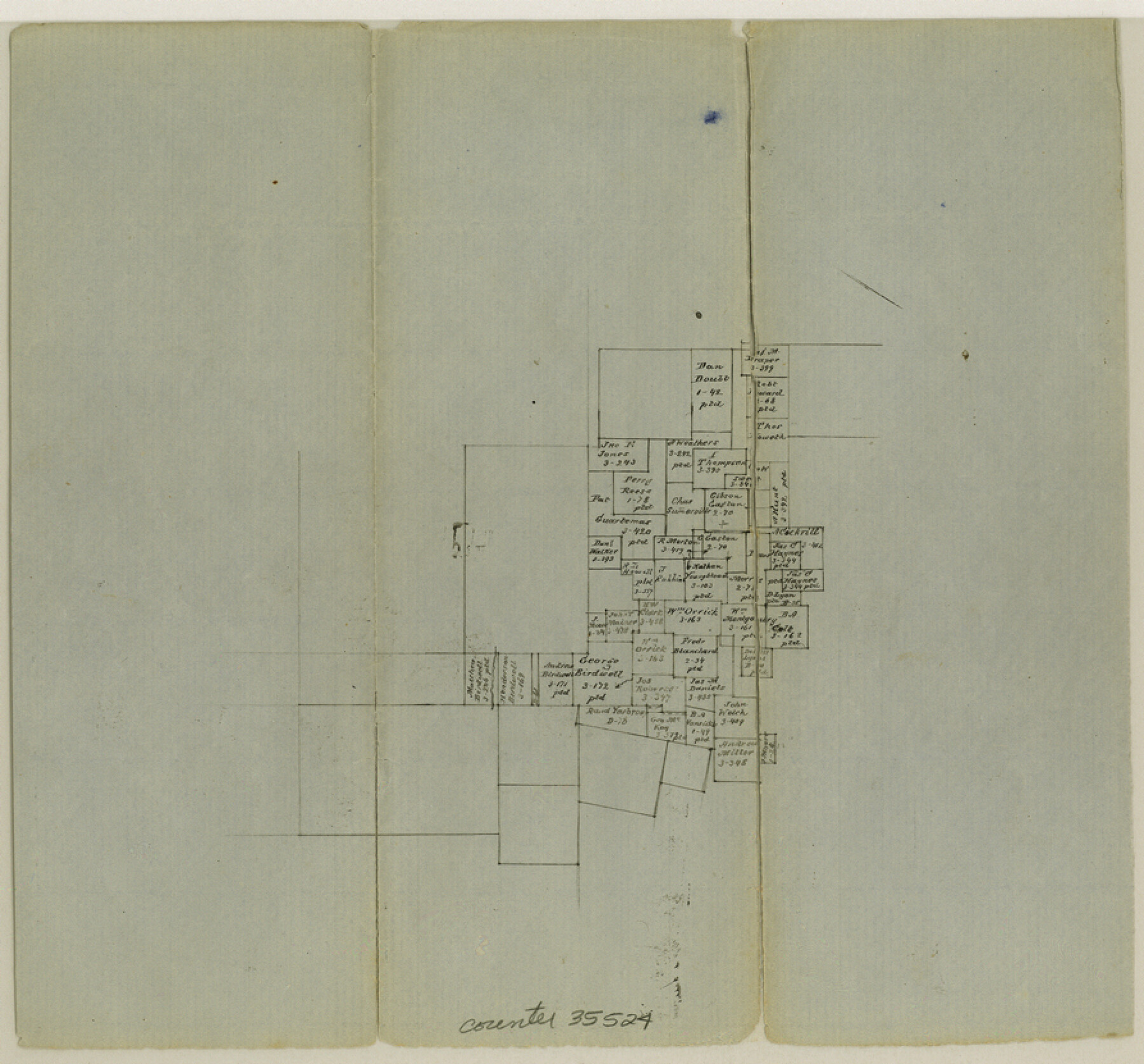
Rusk County Sketch File 18
[Sketch of surveys southeast of Henderson]
-
Map/Doc
35524
-
Collection
General Map Collection
-
Counties
Rusk
-
Subjects
Surveying Sketch File
-
Height x Width
8.3 x 8.9 inches
21.1 x 22.6 cm
-
Medium
paper, manuscript
Part of: General Map Collection
Visitor's Guide to Mexico City, D.F. [and Index to Cities and Villages and Route Summaries]
![96822, Visitor's Guide to Mexico City, D.F. [and Index to Cities and Villages and Route Summaries], General Map Collection](https://historictexasmaps.com/wmedia_w700/maps/96822.tif.jpg)
Visitor's Guide to Mexico City, D.F. [and Index to Cities and Villages and Route Summaries]
1999
Size 33.7 x 25.1 inches
Map/Doc 96822
Smith County Rolled Sketch 6A2

Print $40.00
- Digital $50.00
Smith County Rolled Sketch 6A2
1934
Size 48.7 x 36.7 inches
Map/Doc 10702
Floyd County Working Sketch 5

Print $20.00
- Digital $50.00
Floyd County Working Sketch 5
1955
Size 33.3 x 23.6 inches
Map/Doc 69184
Gregg County Rolled Sketch 23

Print $40.00
- Digital $50.00
Gregg County Rolled Sketch 23
Size 52.9 x 43.3 inches
Map/Doc 9074
Map of north end of Brazos Island

Print $20.00
- Digital $50.00
Map of north end of Brazos Island
1845
Size 24.3 x 18.3 inches
Map/Doc 72919
Jack County Working Sketch 12

Print $20.00
- Digital $50.00
Jack County Working Sketch 12
1959
Size 18.0 x 22.4 inches
Map/Doc 66438
Presidio County Sketch File 80

Print $23.00
- Digital $50.00
Presidio County Sketch File 80
1948
Size 9.5 x 20.3 inches
Map/Doc 34709
Zavala County Working Sketch Graphic Index

Print $20.00
- Digital $50.00
Zavala County Working Sketch Graphic Index
1977
Size 42.2 x 48.2 inches
Map/Doc 76751
G. C. & S. F. Ry. Alinement [sic] and Right of Way Map of Dallas Branch, Johnson County, Texas
![64652, G. C. & S. F. Ry. Alinement [sic] and Right of Way Map of Dallas Branch, Johnson County, Texas, General Map Collection](https://historictexasmaps.com/wmedia_w700/maps/64652.tif.jpg)
Print $40.00
- Digital $50.00
G. C. & S. F. Ry. Alinement [sic] and Right of Way Map of Dallas Branch, Johnson County, Texas
1925
Size 37.6 x 87.9 inches
Map/Doc 64652
Southern Part of Laguna Madre

Print $20.00
- Digital $50.00
Southern Part of Laguna Madre
1966
Size 44.2 x 34.8 inches
Map/Doc 73539
Reagan County Rolled Sketch 30

Print $20.00
- Digital $50.00
Reagan County Rolled Sketch 30
Size 32.7 x 28.5 inches
Map/Doc 7446
Culberson County Working Sketch 81

Print $40.00
- Digital $50.00
Culberson County Working Sketch 81
1980
Size 61.5 x 43.5 inches
Map/Doc 68535
You may also like
Panola County

Print $20.00
- Digital $50.00
Panola County
1947
Size 40.7 x 40.3 inches
Map/Doc 73257
Flight Mission No. DAG-14K, Frame 143, Matagorda County

Print $20.00
- Digital $50.00
Flight Mission No. DAG-14K, Frame 143, Matagorda County
1952
Size 16.4 x 16.4 inches
Map/Doc 86310
![89854, [Lamesa], Twichell Survey Records](https://historictexasmaps.com/wmedia_w700/maps/89854-1.tif.jpg)
[Coleman County Sections 359, 360, and 361]
![92612, [Coleman County Sections 359, 360, and 361], Twichell Survey Records](https://historictexasmaps.com/wmedia_w700/maps/92612-1.tif.jpg)
Print $20.00
- Digital $50.00
[Coleman County Sections 359, 360, and 361]
1946
Size 33.4 x 40.0 inches
Map/Doc 92612
Nueces County Sketch File 50

Print $463.00
- Digital $50.00
Nueces County Sketch File 50
Size 9.6 x 6.2 inches
Map/Doc 32673
Jefferson County Sketch File 51

Print $10.00
- Digital $50.00
Jefferson County Sketch File 51
Size 10.0 x 6.7 inches
Map/Doc 28249
Clay County Boundary File 18a

Print $80.00
- Digital $50.00
Clay County Boundary File 18a
Size 65.3 x 17.3 inches
Map/Doc 51443
Moore County Sketch File 7

Print $20.00
- Digital $50.00
Moore County Sketch File 7
Size 24.6 x 45.8 inches
Map/Doc 10553
Webb County Sketch File 7-2

Print $20.00
- Digital $50.00
Webb County Sketch File 7-2
1927
Size 31.6 x 23.7 inches
Map/Doc 12618
Flight Mission No. CUG-1P, Frame 79, Kleberg County

Print $20.00
- Digital $50.00
Flight Mission No. CUG-1P, Frame 79, Kleberg County
1956
Size 18.7 x 22.2 inches
Map/Doc 86144
Mason County Sketch File 7

Print $4.00
- Digital $50.00
Mason County Sketch File 7
Size 7.9 x 8.8 inches
Map/Doc 30689
Tarrant County

Print $20.00
- Digital $50.00
Tarrant County
1856
Size 22.1 x 19.3 inches
Map/Doc 4068