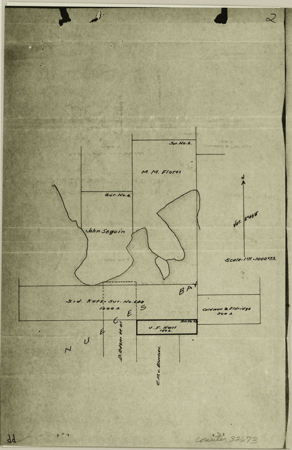
Nueces County Sketch File 50
[Photostats of field notes and sketches from Mineral Files]
-
Map/Doc
32673
-
Collection
General Map Collection
-
Object Dates
6/23/1914 (Survey Date)
7/13/1915 (Survey Date)
7/25/1915 (Survey Date)
3/25/1915 (Survey Date)
2/9/1915 (Survey Date)
3/2/1915 (Survey Date)
2/27/1915 (Survey Date)
2/15/1915 (Survey Date)
3/7/1915 (Survey Date)
5/7/1915 (Survey Date)
1/16/1915 (Survey Date)
2/6/1940 (Survey Date)
1/4/1940 (Survey Date)
1/6/1983 (File Date)
6/23/1915 (Survey Date)
3/11/1915 (Survey Date)
2/2/1915 (Survey Date)
1/13/1915 (Survey Date)
5/10/1915 (Survey Date)
4/2/1915 (Survey Date)
3/30/1915 (Survey Date)
6/22/1914 (Survey Date)
4/26/1915 (Survey Date)
3/9/1915 (Survey Date)
2/13/1915 (Survey Date)
1/26/1915 (Survey Date)
-
People and Organizations
C.F.H. von Blucher (Surveyor/Engineer)
Charles Weidenmueller (Chainman/Field Personnel)
Harris Peters (Chainman/Field Personnel)
Garnett Menger (Chainman/Field Personnel)
John Pons (Chainman/Field Personnel)
William Cody (Chainman/Field Personnel)
James Koniskowski (Chainman/Field Personnel)
W.R. Sparkman (Chainman/Field Personnel)
Robert Dunlap (Chainman/Field Personnel)
Howard Williams (Chainman/Field Personnel)
Nick Rossi (Chainman/Field Personnel)
Jesse Wright (Chainman/Field Personnel)
Conrad M. Blucher (Surveyor/Engineer)
William S. Gray (Chainman/Field Personnel)
-
Counties
Nueces San Patricio
-
Subjects
Surveying Sketch File
-
Height x Width
9.6 x 6.2 inches
24.4 x 15.8 cm
-
Medium
photostat
-
Features
St. Joseph's Island
Padre Island
Turtle Island
Mustang Island
Gulf of Mexico
Flour Bluff
Flour Bluff Peninsula
Dimmit's Island
Laguna Madre
Oso Creek
Oso Bay
Guffey Well
Aransas Pass & Dock Company Channel
Harbor Island
Nueces Bay
Corpus Christi
White Point
Indian Point
Dagger Point
Ransom's Island
Red Fish Bay
Steadman Island
Hog Island
Aransas Pass
Nueces River
Corpus Christi Bay
SA&AP
Portland
Part of: General Map Collection
Wilson County Rolled Sketch 1

Print $20.00
- Digital $50.00
Wilson County Rolled Sketch 1
1941
Size 31.5 x 27.1 inches
Map/Doc 8367
Jeff Davis County Sketch File 38

Print $8.00
- Digital $50.00
Jeff Davis County Sketch File 38
1952
Size 14.3 x 9.1 inches
Map/Doc 28054
Archer County Sketch File 18

Print $40.00
- Digital $50.00
Archer County Sketch File 18
Size 23.9 x 13.0 inches
Map/Doc 10828
Jefferson County Working Sketch 20

Print $20.00
- Digital $50.00
Jefferson County Working Sketch 20
1960
Size 43.0 x 31.8 inches
Map/Doc 66563
Map of Travis County

Print $40.00
- Digital $50.00
Map of Travis County
1895
Size 48.8 x 54.1 inches
Map/Doc 82083
Coke County Working Sketch 30

Print $20.00
- Digital $50.00
Coke County Working Sketch 30
1982
Size 15.7 x 22.4 inches
Map/Doc 76064
Throckmorton County Working Sketch 11

Print $20.00
- Digital $50.00
Throckmorton County Working Sketch 11
1994
Size 43.9 x 34.1 inches
Map/Doc 62120
Flight Mission No. DAG-28K, Frame 26, Matagorda County

Print $20.00
- Digital $50.00
Flight Mission No. DAG-28K, Frame 26, Matagorda County
1953
Size 18.5 x 22.3 inches
Map/Doc 86594

Red River, Water-Shed of Cypress Creek in Texas Drainage Area

Print $4.00
- Digital $50.00
Red River, Water-Shed of Cypress Creek in Texas Drainage Area
1925
Size 16.3 x 19.2 inches
Map/Doc 65057
Crosby County Sketch File 24

Print $4.00
- Digital $50.00
Crosby County Sketch File 24
Size 7.3 x 8.8 inches
Map/Doc 20091
Harris County Working Sketch 61

Print $20.00
- Digital $50.00
Harris County Working Sketch 61
1954
Size 22.2 x 24.3 inches
Map/Doc 65953
You may also like
McMullen County Working Sketch 10

Print $20.00
- Digital $50.00
McMullen County Working Sketch 10
1938
Size 21.6 x 22.8 inches
Map/Doc 70711
Harris County Boundary File 39 (14)

Print $30.00
- Digital $50.00
Harris County Boundary File 39 (14)
Size 13.2 x 8.1 inches
Map/Doc 54344
McMullen County Working Sketch 58

Print $40.00
- Digital $50.00
McMullen County Working Sketch 58
1984
Size 61.2 x 40.0 inches
Map/Doc 70759
[Movements & Objectives of the 143rd & 144th Infantry on October 9-11, 1918, Appendix E, Nos.2 and 3]
![94131, [Movements & Objectives of the 143rd & 144th Infantry on October 9-11, 1918, Appendix E, Nos.2 and 3], Non-GLO Digital Images](https://historictexasmaps.com/wmedia_w700/maps/94131-1.tif.jpg)
Print $20.00
[Movements & Objectives of the 143rd & 144th Infantry on October 9-11, 1918, Appendix E, Nos.2 and 3]
1918
Size 41.6 x 19.9 inches
Map/Doc 94131
Matagorda County Working Sketch 15

Print $40.00
- Digital $50.00
Matagorda County Working Sketch 15
1954
Size 49.3 x 44.5 inches
Map/Doc 70873
Burleson County Working Sketch 19

Print $20.00
- Digital $50.00
Burleson County Working Sketch 19
1980
Size 13.5 x 15.1 inches
Map/Doc 67738
Flight Mission No. CGI-3N, Frame 130, Cameron County

Print $20.00
- Digital $50.00
Flight Mission No. CGI-3N, Frame 130, Cameron County
1954
Size 18.5 x 22.2 inches
Map/Doc 84603
Flight Mission No. DCL-6C, Frame 130, Kenedy County

Print $20.00
- Digital $50.00
Flight Mission No. DCL-6C, Frame 130, Kenedy County
1943
Size 18.6 x 22.3 inches
Map/Doc 85960
Burnet County Highway Map

Print $20.00
- Digital $50.00
Burnet County Highway Map
Size 25.5 x 18.5 inches
Map/Doc 92471
Ward County Working Sketch 9

Print $20.00
- Digital $50.00
Ward County Working Sketch 9
1946
Size 32.9 x 19.2 inches
Map/Doc 72315
Henderson County Sketch File 8a

Print $18.00
- Digital $50.00
Henderson County Sketch File 8a
1861
Size 10.3 x 8.4 inches
Map/Doc 26334
Uvalde County Sketch File 15a

Print $20.00
- Digital $50.00
Uvalde County Sketch File 15a
1890
Size 13.2 x 16.7 inches
Map/Doc 12530