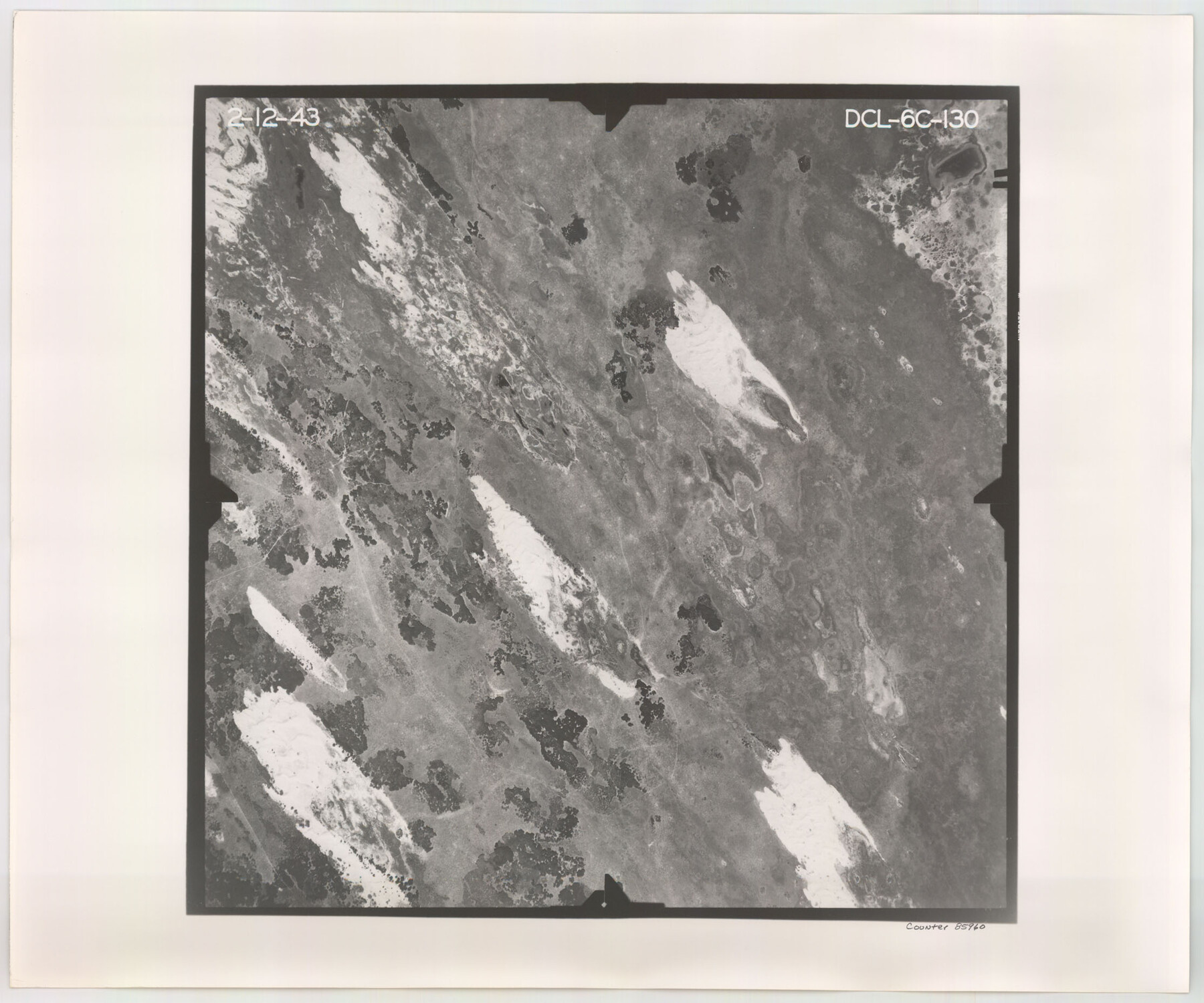
Flight Mission No. DCL-6C, Frame 130, Kenedy County
DCL-6C-130
-
Map/Doc
85960
-
Collection
General Map Collection
-
Object Dates
1943/2/12 (Creation Date)
-
People and Organizations
U. S. Department of Agriculture (Publisher)
-
Counties
Kenedy
-
Subjects
Aerial Photograph
-
Height x Width
18.6 x 22.3 inches
47.2 x 56.6 cm
-
Comments
Flown by Aerial Surveys of Pittsburgh, Inc. of Pittsburgh, Pennsylvania.
Part of: General Map Collection
Chambers County Sketch File 38

Print $20.00
- Digital $50.00
Chambers County Sketch File 38
Size 25.1 x 35.8 inches
Map/Doc 11068
Railroad Track Map, H&TCRRCo., Falls County, Texas

Print $4.00
- Digital $50.00
Railroad Track Map, H&TCRRCo., Falls County, Texas
1918
Size 11.4 x 18.7 inches
Map/Doc 62849
Map of the United States with its territories: also Mexico and the West Indies

Print $20.00
- Digital $50.00
Map of the United States with its territories: also Mexico and the West Indies
1851
Size 40.1 x 36.7 inches
Map/Doc 93925
Map of Jefferson County

Print $20.00
- Digital $50.00
Map of Jefferson County
1896
Size 26.7 x 23.2 inches
Map/Doc 66883
Eastland County Working Sketch 23

Print $40.00
- Digital $50.00
Eastland County Working Sketch 23
1920
Size 53.5 x 42.5 inches
Map/Doc 68804
Flight Mission No. DQN-1K, Frame 142, Calhoun County

Print $20.00
- Digital $50.00
Flight Mission No. DQN-1K, Frame 142, Calhoun County
1953
Size 18.8 x 22.3 inches
Map/Doc 84205
Runnels County Sketch File 30

Print $20.00
Runnels County Sketch File 30
1950
Size 18.8 x 19.6 inches
Map/Doc 12262
Mason County Sketch File 13

Print $4.00
- Digital $50.00
Mason County Sketch File 13
Size 7.3 x 6.2 inches
Map/Doc 30701
Coryell County Sketch File 23

Print $24.00
- Digital $50.00
Coryell County Sketch File 23
1948
Size 11.2 x 8.8 inches
Map/Doc 19387
Railroad Track Map, H&TCRRCo., Falls County, Texas

Print $4.00
- Digital $50.00
Railroad Track Map, H&TCRRCo., Falls County, Texas
1918
Size 11.8 x 18.5 inches
Map/Doc 62860
Maps of Gulf Intracoastal Waterway, Texas - Sabine River to the Rio Grande and connecting waterways including ship channels

Print $20.00
- Digital $50.00
Maps of Gulf Intracoastal Waterway, Texas - Sabine River to the Rio Grande and connecting waterways including ship channels
1966
Size 14.6 x 22.3 inches
Map/Doc 61950
Hale County Sketch File 16

Print $4.00
- Digital $50.00
Hale County Sketch File 16
1888
Size 12.8 x 8.2 inches
Map/Doc 24747
You may also like
Goliad Station Map, Galveston, Harrisburg & San Antonio Ry. operated by the T. & N. O. R.R. Co.

Print $40.00
- Digital $50.00
Goliad Station Map, Galveston, Harrisburg & San Antonio Ry. operated by the T. & N. O. R.R. Co.
1918
Size 24.7 x 55.8 inches
Map/Doc 76161
Karnes County Working Sketch 15

Print $20.00
- Digital $50.00
Karnes County Working Sketch 15
1987
Size 36.0 x 41.1 inches
Map/Doc 66663

Leon County Working Sketch Graphic Index

Print $20.00
- Digital $50.00
Leon County Working Sketch Graphic Index
1977
Size 46.8 x 41.5 inches
Map/Doc 76618
King County Boundary File 5

Print $12.00
- Digital $50.00
King County Boundary File 5
Size 14.2 x 8.8 inches
Map/Doc 64916
Flight Mission No. CRC-5R, Frame 34, Chambers County

Print $20.00
- Digital $50.00
Flight Mission No. CRC-5R, Frame 34, Chambers County
1956
Size 18.5 x 22.3 inches
Map/Doc 84953
Hamilton County Working Sketch 21

Print $40.00
- Digital $50.00
Hamilton County Working Sketch 21
1955
Size 52.4 x 43.7 inches
Map/Doc 63359
Atascosa County Sketch File 12

Print $4.00
- Digital $50.00
Atascosa County Sketch File 12
1862
Size 14.4 x 8.3 inches
Map/Doc 13769
Webb County Working Sketch 3

Print $20.00
- Digital $50.00
Webb County Working Sketch 3
1906
Size 18.2 x 27.2 inches
Map/Doc 72368
Wise County Working Sketch 30

Print $20.00
- Digital $50.00
Wise County Working Sketch 30
1999
Size 39.2 x 34.3 inches
Map/Doc 72644
Concho County Sketch File 36

Print $20.00
- Digital $50.00
Concho County Sketch File 36
1938
Size 17.9 x 18.6 inches
Map/Doc 11161
Wavell Empresario Colony. Proposed, March 9, 1826

Print $20.00
Wavell Empresario Colony. Proposed, March 9, 1826
2020
Size 16.0 x 21.7 inches
Map/Doc 96009