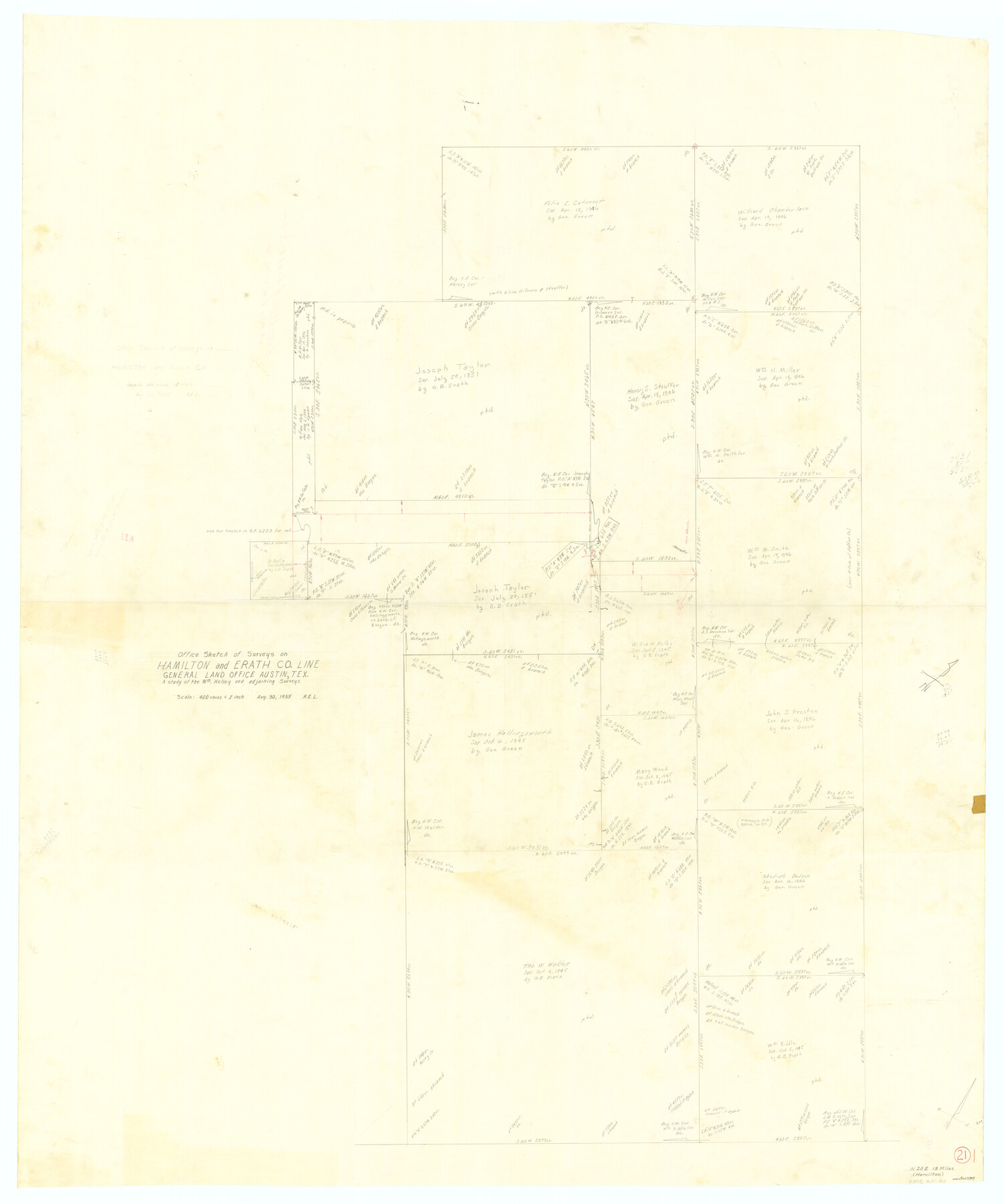
Hamilton County Working Sketch 21
-
Map/Doc
63359
-
Collection
General Map Collection
-
Object Dates
8/30/1955 (Creation Date)
-
Counties
Hamilton Erath
-
Subjects
Surveying Working Sketch
-
Height x Width
52.4 x 43.7 inches
133.1 x 111.0 cm
-
Scale
1" = 400 varas
Part of: General Map Collection
Fayette County Boundary File 2

Print $53.00
- Digital $50.00
Fayette County Boundary File 2
Size 11.2 x 9.0 inches
Map/Doc 53331

Flight Mission No. CGI-3N, Frame 69, Cameron County

Print $20.00
- Digital $50.00
Flight Mission No. CGI-3N, Frame 69, Cameron County
1954
Size 18.4 x 22.1 inches
Map/Doc 84563
Sterling County Sketch File 4

Print $20.00
- Digital $50.00
Sterling County Sketch File 4
1906
Size 19.4 x 26.0 inches
Map/Doc 12356
Flight Mission No. DIX-5P, Frame 118, Aransas County

Print $20.00
- Digital $50.00
Flight Mission No. DIX-5P, Frame 118, Aransas County
1956
Size 17.7 x 17.8 inches
Map/Doc 83797
Van Zandt County Sketch File 20a

Print $4.00
- Digital $50.00
Van Zandt County Sketch File 20a
1858
Size 12.9 x 8.0 inches
Map/Doc 39428
Blanco County Working Sketch 8

Print $20.00
- Digital $50.00
Blanco County Working Sketch 8
1925
Size 23.0 x 22.3 inches
Map/Doc 67368
Tyler County Working Sketch 13

Print $20.00
- Digital $50.00
Tyler County Working Sketch 13
1957
Size 34.5 x 38.5 inches
Map/Doc 69483

Brooks County Sketch File 1

Print $12.00
- Digital $50.00
Brooks County Sketch File 1
1923
Size 14.3 x 8.9 inches
Map/Doc 16537
Flight Mission No. DAG-24K, Frame 154, Matagorda County

Print $20.00
- Digital $50.00
Flight Mission No. DAG-24K, Frame 154, Matagorda County
1953
Size 18.5 x 22.2 inches
Map/Doc 86568
Jackson County Sketch File 14

Print $40.00
- Digital $50.00
Jackson County Sketch File 14
Size 22.2 x 9.8 inches
Map/Doc 27660
You may also like
Johnson County Working Sketch 35

Print $20.00
- Digital $50.00
Johnson County Working Sketch 35
2009
Size 23.2 x 28.6 inches
Map/Doc 89043
Brewster County Working Sketch 77

Print $20.00
- Digital $50.00
Brewster County Working Sketch 77
1968
Size 25.0 x 20.9 inches
Map/Doc 67677
Aransas Pass to Baffin Bay

Print $20.00
- Digital $50.00
Aransas Pass to Baffin Bay
1946
Size 42.1 x 34.3 inches
Map/Doc 73412
Coast Chart No. 205 - Galveston Bay to Oyster Bay, Texas

Print $20.00
- Digital $50.00
Coast Chart No. 205 - Galveston Bay to Oyster Bay, Texas
1907
Size 34.3 x 40.5 inches
Map/Doc 69927
El Paso County Boundary File 24

Print $32.00
- Digital $50.00
El Paso County Boundary File 24
Size 14.8 x 9.6 inches
Map/Doc 53221
San Augustine County Sketch File 3

Print $10.00
San Augustine County Sketch File 3
1858
Size 11.8 x 8.1 inches
Map/Doc 35635
Gregg County Working Sketch 1

Print $20.00
- Digital $50.00
Gregg County Working Sketch 1
1930
Size 14.9 x 15.3 inches
Map/Doc 63267
Taylor County Working Sketch 13

Print $20.00
- Digital $50.00
Taylor County Working Sketch 13
1956
Size 16.3 x 28.9 inches
Map/Doc 69623

Goliad County Working Sketch 24

Print $20.00
- Digital $50.00
Goliad County Working Sketch 24
1982
Size 14.9 x 15.7 inches
Map/Doc 63214
Flight Mission No. CUG-2P, Frame 25, Kleberg County

Print $20.00
- Digital $50.00
Flight Mission No. CUG-2P, Frame 25, Kleberg County
1956
Size 18.5 x 22.2 inches
Map/Doc 86189
Midland County Working Sketch 5

Print $20.00
- Digital $50.00
Midland County Working Sketch 5
1893
Size 31.2 x 25.6 inches
Map/Doc 70985