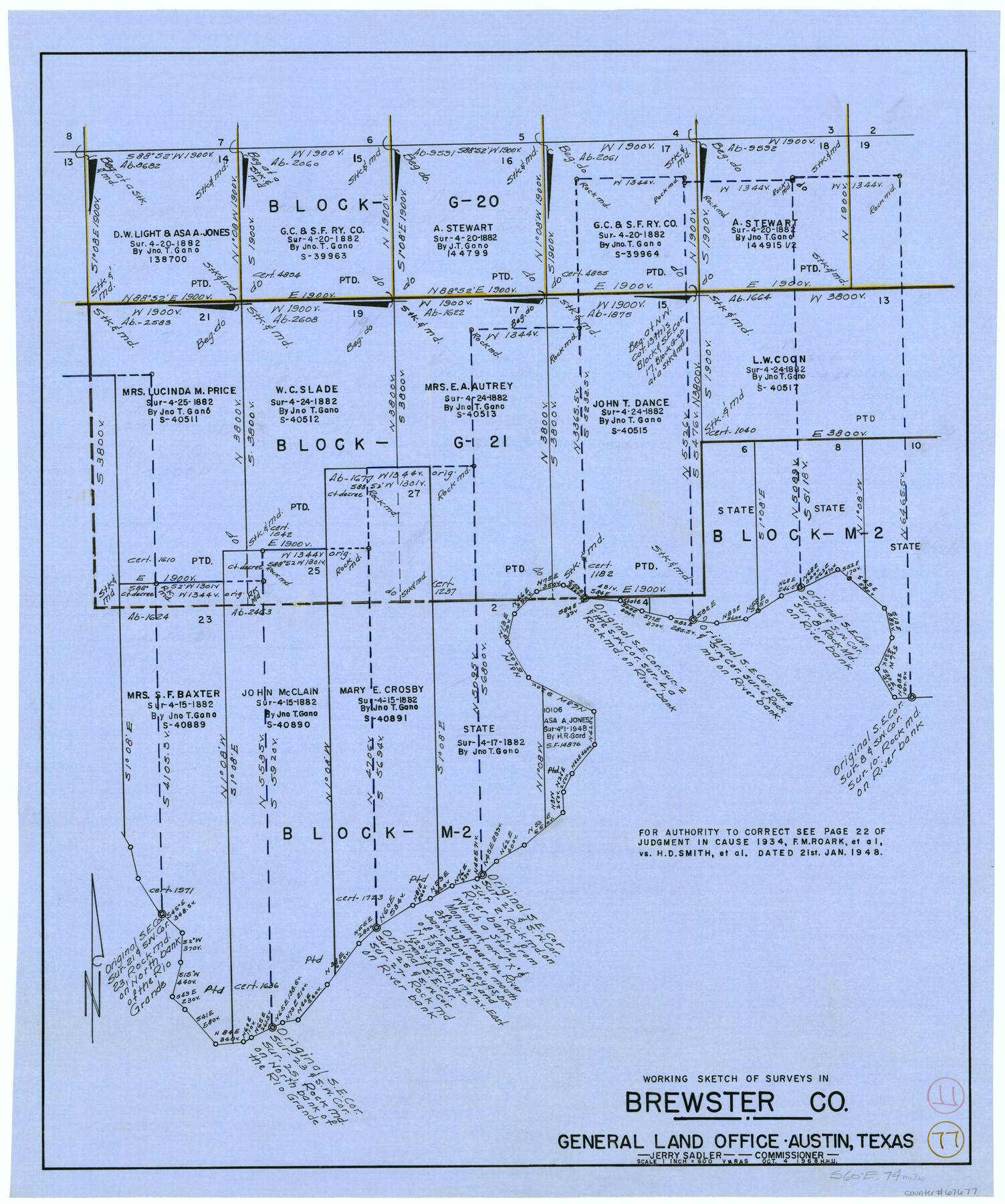
Brewster County Working Sketch 77
-
Map/Doc
67677
-
Collection
General Map Collection
-
Object Dates
10/4/1968 (Creation Date)
-
People and Organizations
Herbert H. Ulbricht (Draftsman)
-
Counties
Brewster
-
Subjects
Surveying Working Sketch
-
Height x Width
25.0 x 20.9 inches
63.5 x 53.1 cm
-
Scale
1" = 600 varas
Part of: General Map Collection
Crosby County Sketch File 27

Print $20.00
- Digital $50.00
Crosby County Sketch File 27
Size 8.8 x 23.0 inches
Map/Doc 11256
Cooke County Boundary File 20

Print $88.00
- Digital $50.00
Cooke County Boundary File 20
Size 3.2 x 8.6 inches
Map/Doc 51873
Goliad County Sketch File 37

Print $4.00
- Digital $50.00
Goliad County Sketch File 37
1850
Size 10.2 x 8.3 inches
Map/Doc 24336
Collin County Sketch File 2

Print $8.00
- Digital $50.00
Collin County Sketch File 2
1848
Size 10.0 x 8.0 inches
Map/Doc 18858
Gaines County Sketch File 9

Print $20.00
- Digital $50.00
Gaines County Sketch File 9
Size 34.1 x 17.1 inches
Map/Doc 11524
Jeff Davis County Sketch File 22

Print $20.00
- Digital $50.00
Jeff Davis County Sketch File 22
1923
Size 19.4 x 25.0 inches
Map/Doc 11860
Midland County Working Sketch 16

Print $40.00
- Digital $50.00
Midland County Working Sketch 16
1953
Size 61.7 x 32.6 inches
Map/Doc 70996
Real County Sketch File 3

Print $16.00
- Digital $50.00
Real County Sketch File 3
1906
Size 9.2 x 8.2 inches
Map/Doc 35039
Harris County Rolled Sketch R

Print $40.00
- Digital $50.00
Harris County Rolled Sketch R
1915
Size 20.3 x 93.8 inches
Map/Doc 9114
Collin County Working Sketch 7

Print $40.00
- Digital $50.00
Collin County Working Sketch 7
2004
Size 50.5 x 33.8 inches
Map/Doc 83563
Flight Mission No. CRC-1R, Frame 155, Chambers County

Print $20.00
- Digital $50.00
Flight Mission No. CRC-1R, Frame 155, Chambers County
1956
Size 18.8 x 22.4 inches
Map/Doc 84717

You may also like
[League 27, Montgomery County School Land, William Tubbs Survey]
![91102, [League 27, Montgomery County School Land, William Tubbs Survey], Twichell Survey Records](https://historictexasmaps.com/wmedia_w700/maps/91102-1.tif.jpg)
Print $2.00
- Digital $50.00
[League 27, Montgomery County School Land, William Tubbs Survey]
Size 12.1 x 8.9 inches
Map/Doc 91102
Terrell County Working Sketch 82

Print $20.00
- Digital $50.00
Terrell County Working Sketch 82
1991
Size 31.7 x 24.8 inches
Map/Doc 69603
Flight Mission No. BQY-4M, Frame 66, Harris County

Print $20.00
- Digital $50.00
Flight Mission No. BQY-4M, Frame 66, Harris County
1953
Size 18.4 x 22.3 inches
Map/Doc 85275
Maverick County Rolled Sketch 14

Print $20.00
- Digital $50.00
Maverick County Rolled Sketch 14
1848
Size 18.4 x 22.9 inches
Map/Doc 6707
Upton County Working Sketch 60

Print $20.00
- Digital $50.00
Upton County Working Sketch 60
2012
Size 34.2 x 32.1 inches
Map/Doc 93387
Cherokee County Rolled Sketch 3

Print $40.00
- Digital $50.00
Cherokee County Rolled Sketch 3
1955
Size 55.5 x 35.2 inches
Map/Doc 8597
Cooke County Working Sketch 33

Print $20.00
- Digital $50.00
Cooke County Working Sketch 33
1984
Size 25.6 x 28.6 inches
Map/Doc 68270
Jeff Davis County Sketch File 6

Print $20.00
- Digital $50.00
Jeff Davis County Sketch File 6
Size 33.0 x 30.2 inches
Map/Doc 10506
Texas Gulf Coast Map from the Sabine River to the Rio Grande as subdivided for mineral development

Print $20.00
- Digital $50.00
Texas Gulf Coast Map from the Sabine River to the Rio Grande as subdivided for mineral development
1948
Size 31.0 x 39.7 inches
Map/Doc 2912
Donley County Sketch File 5a

Print $6.00
- Digital $50.00
Donley County Sketch File 5a
Size 11.0 x 12.6 inches
Map/Doc 21268
Crockett County Rolled Sketch 82

Print $20.00
- Digital $50.00
Crockett County Rolled Sketch 82
1959
Size 22.4 x 21.2 inches
Map/Doc 5622
Somervell County Working Sketch Graphic Index

Print $20.00
- Digital $50.00
Somervell County Working Sketch Graphic Index
1941
Size 27.0 x 25.7 inches
Map/Doc 76700