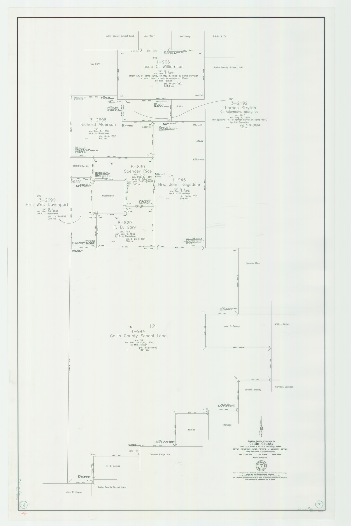
Collin County Working Sketch 7
-
Map/Doc
83563
-
Collection
General Map Collection
-
Object Dates
7/6/2004 (Creation Date)
-
People and Organizations
Jerry E. Patterson (GLO Commissioner)
Dustin Johnson (Draftsman)
-
Counties
Collin
-
Subjects
Surveying Working Sketch
-
Height x Width
50.5 x 33.8 inches
128.3 x 85.9 cm
-
Scale
1" = 300 varas
-
Comments
Located about 12.5 miles North 71 degrees West of McKinney, Texas.
Part of: General Map Collection
Chicago & Rock Island

Print $40.00
- Digital $50.00
Chicago & Rock Island
1892
Size 8.4 x 70.7 inches
Map/Doc 64498
Cameron County Rolled Sketch 25

Print $20.00
- Digital $50.00
Cameron County Rolled Sketch 25
1977
Size 24.8 x 36.8 inches
Map/Doc 5792
Menard County

Print $20.00
- Digital $50.00
Menard County
1894
Size 32.5 x 42.1 inches
Map/Doc 66926
[Surveys in Austin's Colony along the Navasota River and Ten Mile Creek]
![80, [Surveys in Austin's Colony along the Navasota River and Ten Mile Creek], General Map Collection](https://historictexasmaps.com/wmedia_w700/maps/80.tif.jpg)
Print $20.00
- Digital $50.00
[Surveys in Austin's Colony along the Navasota River and Ten Mile Creek]
1821
Size 29.2 x 18.0 inches
Map/Doc 80
Lubbock County Working Sketch 3

Print $20.00
- Digital $50.00
Lubbock County Working Sketch 3
1904
Size 13.9 x 20.5 inches
Map/Doc 70663
Lampasas County Sketch File 5

Print $8.00
- Digital $50.00
Lampasas County Sketch File 5
1869
Size 12.8 x 7.9 inches
Map/Doc 29396
Travis County Rolled Sketch 41

Print $20.00
- Digital $50.00
Travis County Rolled Sketch 41
Size 31.3 x 24.7 inches
Map/Doc 8039
Galveston County Sketch File 6

Print $4.00
- Digital $50.00
Galveston County Sketch File 6
Size 14.2 x 8.9 inches
Map/Doc 23362
Young County Working Sketch 13

Print $20.00
- Digital $50.00
Young County Working Sketch 13
1938
Size 46.0 x 40.4 inches
Map/Doc 62036
Flight Mission No. BRA-6M, Frame 88, Jefferson County

Print $20.00
- Digital $50.00
Flight Mission No. BRA-6M, Frame 88, Jefferson County
1953
Size 18.4 x 22.4 inches
Map/Doc 85431
Gonzales County Working Sketch 8

Print $20.00
- Digital $50.00
Gonzales County Working Sketch 8
1981
Size 19.0 x 16.7 inches
Map/Doc 63224
Blanco County Boundary File 53

Print $50.00
- Digital $50.00
Blanco County Boundary File 53
Size 9.2 x 7.7 inches
Map/Doc 50580
You may also like
Webb County Sketch File 12-2

Print $20.00
- Digital $50.00
Webb County Sketch File 12-2
1936
Size 24.5 x 20.1 inches
Map/Doc 12630
[Floyd County Schoo Land Lgs. 180-183, Fisher County School Land Lgs. 105-108, and part of Blk. V]
![90190, [Floyd County Schoo Land Lgs. 180-183, Fisher County School Land Lgs. 105-108, and part of Blk. V], Twichell Survey Records](https://historictexasmaps.com/wmedia_w700/maps/90190-1.tif.jpg)
Print $2.00
- Digital $50.00
[Floyd County Schoo Land Lgs. 180-183, Fisher County School Land Lgs. 105-108, and part of Blk. V]
Size 8.8 x 10.2 inches
Map/Doc 90190
Borden County

Print $20.00
- Digital $50.00
Borden County
1922
Size 44.7 x 38.7 inches
Map/Doc 66718
Sulphur River, Bexelder Sheet/Cuthand Creek

Print $20.00
- Digital $50.00
Sulphur River, Bexelder Sheet/Cuthand Creek
Size 17.3 x 14.1 inches
Map/Doc 78325
A Camera Journey through the Lower Valley of the Rio Grande - the Garden of Golden Grapefruit

A Camera Journey through the Lower Valley of the Rio Grande - the Garden of Golden Grapefruit
1929
Map/Doc 96744
Harbor of Brazos Santiago, Texas

Print $20.00
- Digital $50.00
Harbor of Brazos Santiago, Texas
1887
Size 27.1 x 18.3 inches
Map/Doc 72995

Stonewall County Sketch File 5

Print $40.00
- Digital $50.00
Stonewall County Sketch File 5
Size 14.9 x 14.4 inches
Map/Doc 37206
Galveston County NRC Article 33.136 Sketch 63

Print $42.00
- Digital $50.00
Galveston County NRC Article 33.136 Sketch 63
2010
Size 36.0 x 24.0 inches
Map/Doc 95003
Crane County Sketch File 9

Print $20.00
- Digital $50.00
Crane County Sketch File 9
1926
Size 21.7 x 34.1 inches
Map/Doc 11208
Franklin County

Print $20.00
- Digital $50.00
Franklin County
1897
Size 35.1 x 14.3 inches
Map/Doc 3556
Map of Madison County

Print $20.00
- Digital $50.00
Map of Madison County
1880
Size 17.0 x 24.9 inches
Map/Doc 3832