[Surveys in Austin's Colony along the Navasota River and Ten Mile Creek]
Atlas D, Sketch 10 (D-10)
D-10
-
Map/Doc
80
-
Collection
General Map Collection
-
Object Dates
[1821-1836] (Creation Date)
-
Counties
Grimes
-
Subjects
Atlas Colony
-
Height x Width
29.2 x 18.0 inches
74.2 x 45.7 cm
-
Medium
paper, manuscript
-
Comments
Conserved in 2004.
-
Features
Cypress Camp Creek
Holland Settlement
Bowmans Creek
Navasota Creek
Ten Mile Creek
Part of: General Map Collection
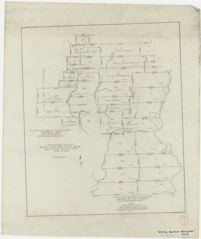
Matagorda County Working Sketch 9

Print $20.00
- Digital $50.00
Matagorda County Working Sketch 9
1954
Size 26.5 x 22.3 inches
Map/Doc 70867
Wise County Sketch File 29


Print $20.00
- Digital $50.00
Wise County Sketch File 29
1857
Size 11.1 x 20.7 inches
Map/Doc 76762
Flight Mission No. BRE-2P, Frame 62, Nueces County


Print $20.00
- Digital $50.00
Flight Mission No. BRE-2P, Frame 62, Nueces County
1956
Size 18.3 x 22.5 inches
Map/Doc 86757
Blanco County Sketch File 49


Print $12.00
- Digital $50.00
Blanco County Sketch File 49
Size 14.3 x 8.8 inches
Map/Doc 14691
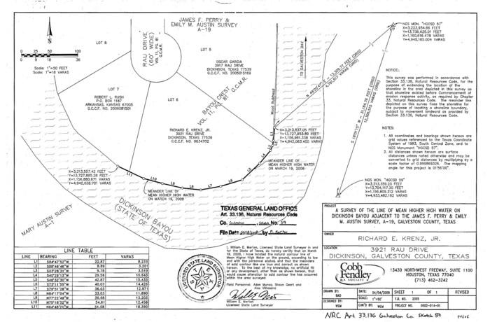
Galveston County NRC Article 33.136 Sketch 59

Print $24.00
- Digital $50.00
Galveston County NRC Article 33.136 Sketch 59
2008
Size 11.5 x 17.0 inches
Map/Doc 94606
Galveston County Sketch File 58


Print $20.00
- Digital $50.00
Galveston County Sketch File 58
1984
Size 47.1 x 38.3 inches
Map/Doc 10458
Right of Way and Track Map Houston & Texas Central R.R. operated by the T. & N.O. R.R. Co., Austin Branch


Print $40.00
- Digital $50.00
Right of Way and Track Map Houston & Texas Central R.R. operated by the T. & N.O. R.R. Co., Austin Branch
1918
Size 25.8 x 58.2 inches
Map/Doc 64554
Travis County Sketch File 73


Print $4.00
- Digital $50.00
Travis County Sketch File 73
1847
Size 13.0 x 8.3 inches
Map/Doc 38462
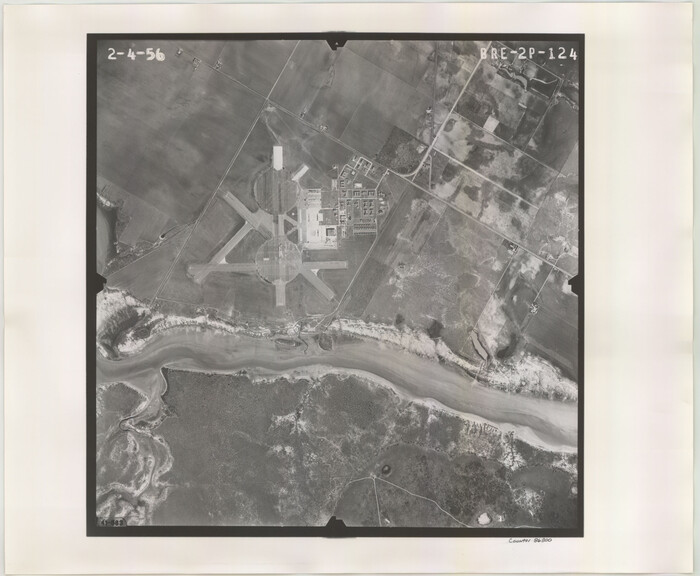
Flight Mission No. BRE-2P, Frame 124, Nueces County

Print $20.00
- Digital $50.00
Flight Mission No. BRE-2P, Frame 124, Nueces County
1956
Size 18.3 x 22.3 inches
Map/Doc 86800
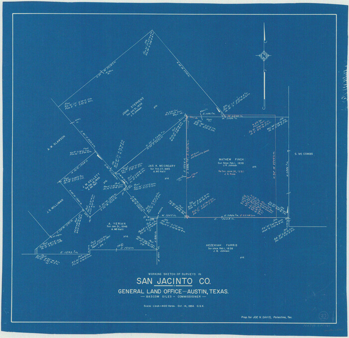
San Jacinto County Working Sketch 32

Print $20.00
- Digital $50.00
San Jacinto County Working Sketch 32
1954
Size 24.0 x 24.7 inches
Map/Doc 63745
Brown County Sketch File 17

Print $40.00
- Digital $50.00
Brown County Sketch File 17
Size 15.6 x 12.7 inches
Map/Doc 16614
Sabine County Sketch File 8


Print $4.00
Sabine County Sketch File 8
1894
Size 9.7 x 8.4 inches
Map/Doc 35622
You may also like
Wilbarger County Rolled Sketch 10
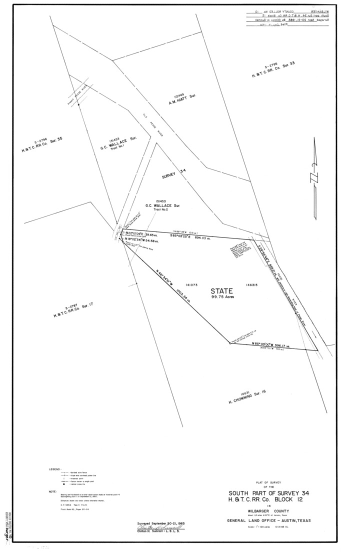

Print $20.00
- Digital $50.00
Wilbarger County Rolled Sketch 10
1983
Size 37.6 x 23.8 inches
Map/Doc 8259
Shelby County Rolled Sketch 18
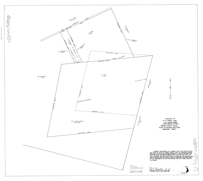

Print $20.00
- Digital $50.00
Shelby County Rolled Sketch 18
1975
Size 36.2 x 40.7 inches
Map/Doc 9926
Map of State University Land, Pecos County, Texas
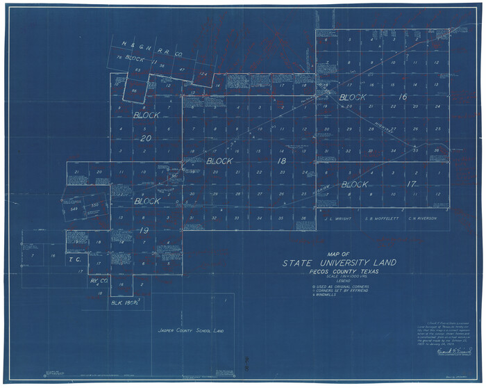

Print $20.00
- Digital $50.00
Map of State University Land, Pecos County, Texas
1929
Size 28.4 x 22.7 inches
Map/Doc 91631
Titus County, Texas
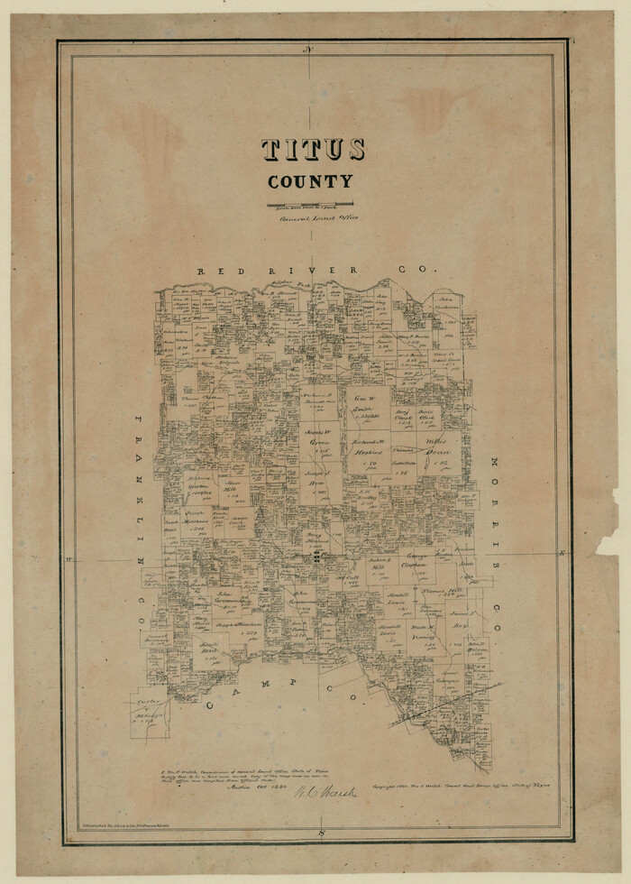

Print $20.00
- Digital $50.00
Titus County, Texas
1880
Size 29.4 x 22.8 inches
Map/Doc 629
Kleberg County NRC Article 33.136 Sketch 1
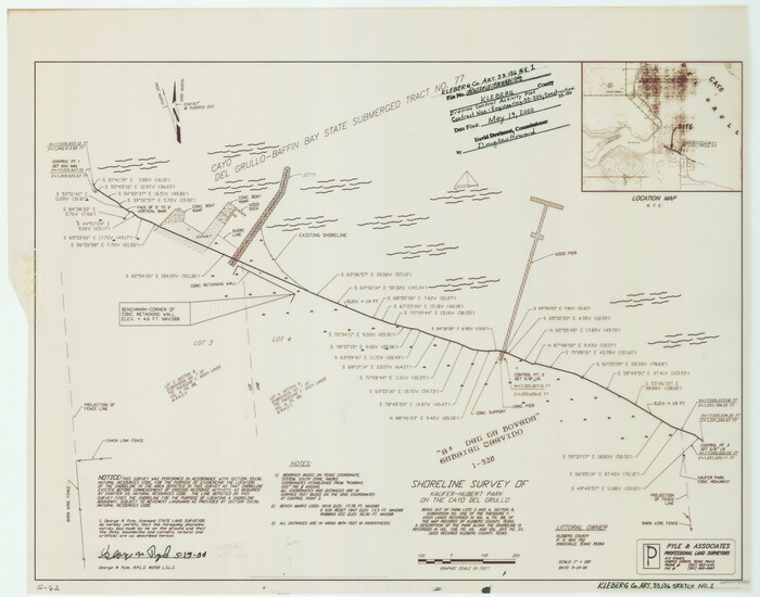

Print $143.00
- Digital $50.00
Kleberg County NRC Article 33.136 Sketch 1
2000
Size 18.5 x 23.6 inches
Map/Doc 6555
Pecos County Rolled Sketch 27
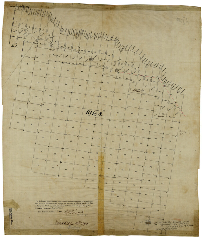

Print $20.00
- Digital $50.00
Pecos County Rolled Sketch 27
1890
Size 32.3 x 28.3 inches
Map/Doc 7212
Ownership Map Midland Co., Texas


Ownership Map Midland Co., Texas
1951
Size 43.2 x 45.3 inches
Map/Doc 89914
Reconnaissance of Aransas Pass, Texas
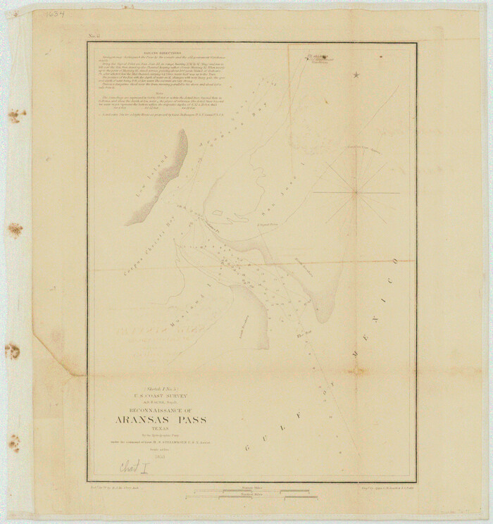

Print $20.00
- Digital $50.00
Reconnaissance of Aransas Pass, Texas
1852
Size 14.4 x 13.6 inches
Map/Doc 76171
Lavaca County Working Sketch 23

Print $20.00
- Digital $50.00
Lavaca County Working Sketch 23
1985
Size 37.8 x 39.8 inches
Map/Doc 70376
Railroad and County Map of Texas

Print $20.00
Railroad and County Map of Texas
1901
Size 33.1 x 37.1 inches
Map/Doc 76213
Pecos County Sketch File 45

Print $20.00
- Digital $50.00
Pecos County Sketch File 45
Size 13.8 x 21.7 inches
Map/Doc 12179
Map showing connection and conflict of Block 8, G. H. & S. A. Ry. with Block II, T. & P. Ry. Co.


Print $20.00
- Digital $50.00
Map showing connection and conflict of Block 8, G. H. & S. A. Ry. with Block II, T. & P. Ry. Co.
Size 25.5 x 33.2 inches
Map/Doc 91821
![80, [Surveys in Austin's Colony along the Navasota River and Ten Mile Creek], General Map Collection](https://historictexasmaps.com/wmedia_w1800h1800/maps/80.tif.jpg)