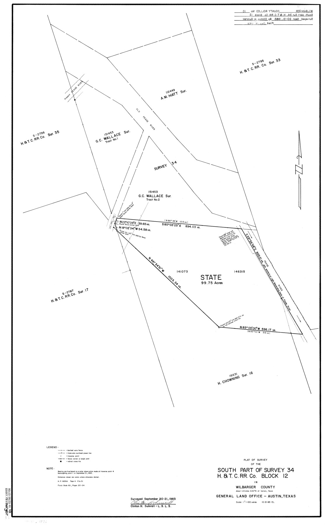
Wilbarger County Rolled Sketch 10
Plat of survey of the south part of survey 34, H. & T. C. R.R. Co. Block 12 in Wilbarger County
-
Map/Doc
8259
-
Collection
General Map Collection
-
Object Dates
1983/10/21 (Creation Date)
1983/12/19 (File Date)
1983/9/21 (Survey Date)
-
People and Organizations
Clinton H. Sumrall (Surveyor/Engineer)
-
Counties
Wilbarger
-
Subjects
Surveying Rolled Sketch
-
Height x Width
37.6 x 23.8 inches
95.5 x 60.5 cm
-
Medium
mylar, print
-
Scale
1" = 100 varas
Part of: General Map Collection
Upton County Working Sketch 29

Print $40.00
- Digital $50.00
Upton County Working Sketch 29
1956
Size 50.6 x 36.0 inches
Map/Doc 69525
Atascosa County Rolled Sketch 12

Print $40.00
- Digital $50.00
Atascosa County Rolled Sketch 12
1944
Size 33.3 x 68.8 inches
Map/Doc 8429
Webb County Sketch File 25

Print $20.00
- Digital $50.00
Webb County Sketch File 25
1936
Size 18.2 x 30.7 inches
Map/Doc 12639
Castro County Sketch File 5

Print $20.00
- Digital $50.00
Castro County Sketch File 5
Size 37.6 x 25.3 inches
Map/Doc 11058
Houston County Working Sketch 17

Print $40.00
- Digital $50.00
Houston County Working Sketch 17
1968
Size 43.4 x 50.3 inches
Map/Doc 66247
Red River County Working Sketch 81-3

Print $20.00
- Digital $50.00
Red River County Working Sketch 81-3
1987
Size 17.5 x 21.5 inches
Map/Doc 72066
Flight Mission No. BRA-3M, Frame 121, Jefferson County

Print $20.00
- Digital $50.00
Flight Mission No. BRA-3M, Frame 121, Jefferson County
1953
Size 18.8 x 22.3 inches
Map/Doc 85395
Orange County Sketch File 14a

Print $4.00
- Digital $50.00
Orange County Sketch File 14a
1886
Size 8.1 x 10.2 inches
Map/Doc 33328
Terrell County Working Sketch 76

Print $20.00
- Digital $50.00
Terrell County Working Sketch 76
1982
Size 31.8 x 20.1 inches
Map/Doc 69597
Travis County Working Sketch 46

Print $20.00
- Digital $50.00
Travis County Working Sketch 46
1981
Size 46.6 x 36.9 inches
Map/Doc 69430
Kerr County Sketch File 19

Print $20.00
- Digital $50.00
Kerr County Sketch File 19
1950
Size 22.8 x 23.9 inches
Map/Doc 11922
Tyler County Sketch File 23

Print $20.00
- Digital $50.00
Tyler County Sketch File 23
Size 25.3 x 20.9 inches
Map/Doc 12500
You may also like
Matagorda County Sketch File 6

Print $4.00
- Digital $50.00
Matagorda County Sketch File 6
Size 8.0 x 4.9 inches
Map/Doc 30738
Jack County Working Sketch 7

Print $20.00
- Digital $50.00
Jack County Working Sketch 7
1953
Size 37.2 x 31.9 inches
Map/Doc 66433
Flight Mission No. DAG-28K, Frame 24, Matagorda County

Print $20.00
- Digital $50.00
Flight Mission No. DAG-28K, Frame 24, Matagorda County
1953
Size 16.2 x 16.0 inches
Map/Doc 86592
Coke County Working Sketch 28

Print $20.00
- Digital $50.00
Coke County Working Sketch 28
1965
Size 32.7 x 42.2 inches
Map/Doc 68065
University Land in Hudspeth County showing Mineral Surveys in Blocks A, B, C, D, E, F, G, H, I, J, K, L, M, N

Print $40.00
- Digital $50.00
University Land in Hudspeth County showing Mineral Surveys in Blocks A, B, C, D, E, F, G, H, I, J, K, L, M, N
Size 39.7 x 48.4 inches
Map/Doc 2421
Nacogdoches County Rolled Sketch 1

Print $20.00
- Digital $50.00
Nacogdoches County Rolled Sketch 1
1950
Size 33.5 x 31.0 inches
Map/Doc 6836
Andrews County

Print $40.00
- Digital $50.00
Andrews County
1951
Size 43.7 x 55.4 inches
Map/Doc 95416
Crockett County Working Sketch 29

Print $40.00
- Digital $50.00
Crockett County Working Sketch 29
1924
Size 42.8 x 57.6 inches
Map/Doc 68362
Goliad County Working Sketch 19

Print $20.00
- Digital $50.00
Goliad County Working Sketch 19
1954
Size 31.5 x 31.8 inches
Map/Doc 63209
Goliad County

Print $20.00
- Digital $50.00
Goliad County
1946
Size 42.8 x 45.0 inches
Map/Doc 73159
Crockett County Sketch File 10 and 11

Print $8.00
- Digital $50.00
Crockett County Sketch File 10 and 11
Size 12.6 x 7.3 inches
Map/Doc 19661
Red River County Sketch File 1a

Print $4.00
- Digital $50.00
Red River County Sketch File 1a
1854
Size 12.7 x 8.0 inches
Map/Doc 35093