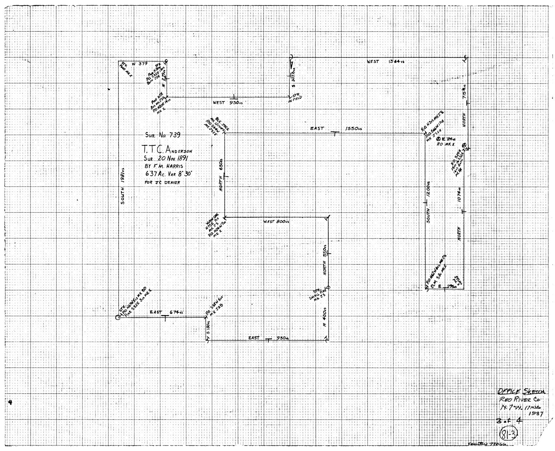
Red River County Working Sketch 81-3
-
Map/Doc
72066
-
Collection
General Map Collection
-
Object Dates
1987 (Creation Date)
-
Counties
Red River
-
Subjects
Surveying Working Sketch
-
Height x Width
17.5 x 21.5 inches
44.5 x 54.6 cm
Related maps
Red River County Working Sketch 81-1

Print $20.00
- Digital $50.00
Red River County Working Sketch 81-1
1987
Size 14.6 x 18.4 inches
Map/Doc 72064
Red River County Working Sketch 81-2

Print $20.00
- Digital $50.00
Red River County Working Sketch 81-2
1987
Size 14.6 x 18.6 inches
Map/Doc 72065
Red River County Working Sketch 81-4

Print $20.00
- Digital $50.00
Red River County Working Sketch 81-4
1987
Size 21.8 x 16.7 inches
Map/Doc 72067
Part of: General Map Collection
Martin County Working Sketch 1

Print $20.00
- Digital $50.00
Martin County Working Sketch 1
1922
Size 21.8 x 16.9 inches
Map/Doc 70819
Potter County Sketch File 5

Print $20.00
- Digital $50.00
Potter County Sketch File 5
1890
Size 14.1 x 8.8 inches
Map/Doc 34387
Morris County Rolled Sketch 2A

Print $20.00
- Digital $50.00
Morris County Rolled Sketch 2A
Size 36.2 x 19.3 inches
Map/Doc 10282
Dimmit County Working Sketch 46

Print $20.00
- Digital $50.00
Dimmit County Working Sketch 46
1980
Size 25.7 x 31.0 inches
Map/Doc 68707
Austin County Sketch File 17

Print $4.00
- Digital $50.00
Austin County Sketch File 17
1873
Size 5.9 x 8.3 inches
Map/Doc 13925
Jefferson County Rolled Sketch 29

Print $20.00
- Digital $50.00
Jefferson County Rolled Sketch 29
1952
Size 31.8 x 43.6 inches
Map/Doc 9293
Medina County Sketch File 4

Print $6.00
- Digital $50.00
Medina County Sketch File 4
Size 10.0 x 7.4 inches
Map/Doc 31447
Matagorda County Rolled Sketch 19

Print $20.00
- Digital $50.00
Matagorda County Rolled Sketch 19
1918
Size 13.0 x 16.6 inches
Map/Doc 6687
Flight Mission No. BQR-5K, Frame 69, Brazoria County

Print $20.00
- Digital $50.00
Flight Mission No. BQR-5K, Frame 69, Brazoria County
1952
Size 18.8 x 22.4 inches
Map/Doc 84014
Knox County Sketch File 12

Print $13.00
- Digital $50.00
Knox County Sketch File 12
1889
Size 9.8 x 8.5 inches
Map/Doc 29225
San Patricio County Rolled Sketch 40

Print $20.00
- Digital $50.00
San Patricio County Rolled Sketch 40
1917
Size 26.0 x 36.0 inches
Map/Doc 7726
Terry County Boundary File 3

Print $78.00
- Digital $50.00
Terry County Boundary File 3
Size 7.4 x 8.8 inches
Map/Doc 59216
You may also like
Liberty County Working Sketch 79

Print $40.00
- Digital $50.00
Liberty County Working Sketch 79
1981
Size 63.7 x 41.4 inches
Map/Doc 70539
Liberty County Working Sketch 3

Print $20.00
- Digital $50.00
Liberty County Working Sketch 3
1891
Size 16.2 x 13.2 inches
Map/Doc 70462
Map of Starr County

Print $20.00
- Digital $50.00
Map of Starr County
1880
Size 46.8 x 27.0 inches
Map/Doc 4044
The Judicial District/Counties, Late Spring 1842

Print $20.00
The Judicial District/Counties, Late Spring 1842
2020
Size 24.5 x 21.7 inches
Map/Doc 96356
Wise County Sketch File 1

Print $4.00
- Digital $50.00
Wise County Sketch File 1
1855
Size 11.9 x 7.6 inches
Map/Doc 40521
Hamilton County Sketch File 8

Print $4.00
- Digital $50.00
Hamilton County Sketch File 8
1860
Size 12.2 x 8.0 inches
Map/Doc 24914
Hardin County Working Sketch 7

Print $20.00
- Digital $50.00
Hardin County Working Sketch 7
1925
Size 23.3 x 12.6 inches
Map/Doc 63405
Harris County Sketch File 8

Print $23.00
- Digital $50.00
Harris County Sketch File 8
Size 15.3 x 11.9 inches
Map/Doc 25338
[B. S. & F. Blocks 1 and 6, A. B. & M. Block 2 and surrounding surveys and blocks]
![91785, [B. S. & F. Blocks 1 and 6, A. B. & M. Block 2 and surrounding surveys and blocks], Twichell Survey Records](https://historictexasmaps.com/wmedia_w700/maps/91785-1.tif.jpg)
Print $20.00
- Digital $50.00
[B. S. & F. Blocks 1 and 6, A. B. & M. Block 2 and surrounding surveys and blocks]
Size 22.6 x 33.8 inches
Map/Doc 91785
Texas City. First and Second Division

Print $20.00
- Digital $50.00
Texas City. First and Second Division
1892
Size 24.3 x 19.1 inches
Map/Doc 95355
Brewster County Working Sketch 25

Print $20.00
- Digital $50.00
Brewster County Working Sketch 25
1940
Size 17.0 x 18.0 inches
Map/Doc 67559
Collin County Sketch File 3

Print $20.00
- Digital $50.00
Collin County Sketch File 3
1852
Size 19.5 x 21.4 inches
Map/Doc 11126