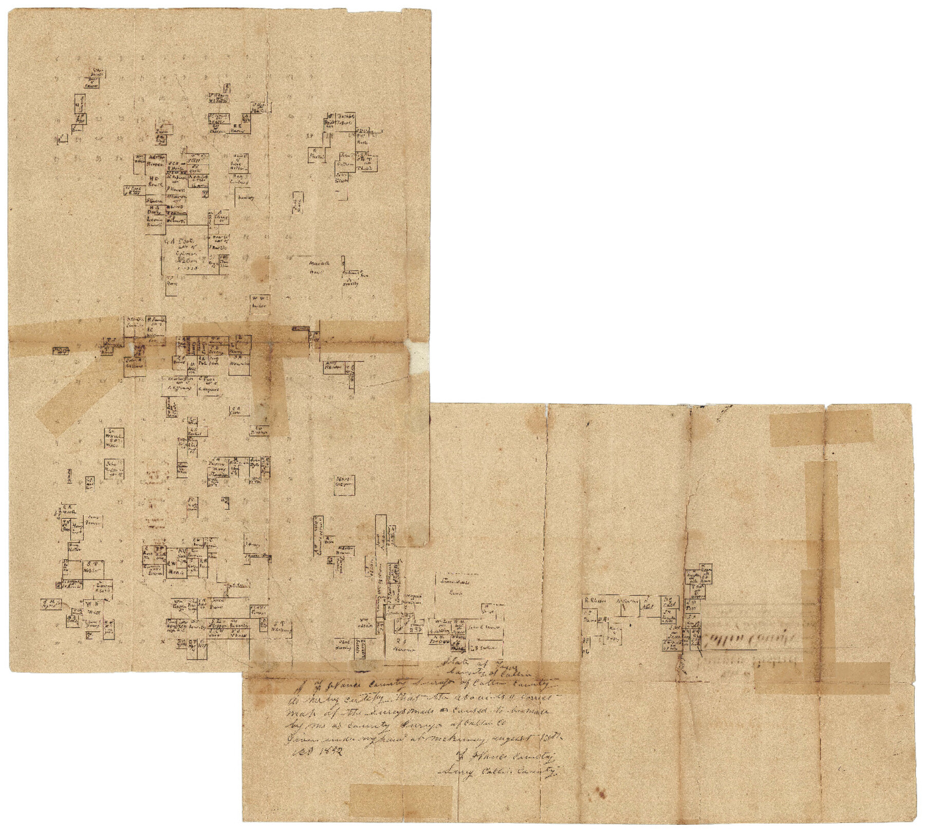
Collin County Sketch File 3
[Sketch of surveys made or caused to be made by F.J. Vance, County Surveyor]
-
Map/Doc
11126
-
Collection
General Map Collection
-
Object Dates
1852/8/13 (Creation Date)
1852/8/25 (File Date)
-
People and Organizations
F.J. Vance (Surveyor/Engineer)
-
Counties
Collin
-
Subjects
Surveying Sketch File
-
Height x Width
19.5 x 21.4 inches
49.5 x 54.4 cm
-
Medium
paper, manuscript
Part of: General Map Collection
Angelina County Working Sketch 12

Print $20.00
- Digital $50.00
Angelina County Working Sketch 12
1934
Size 40.8 x 37.9 inches
Map/Doc 67093
Bandera County Working Sketch 53

Print $20.00
- Digital $50.00
Bandera County Working Sketch 53
1985
Size 34.0 x 36.0 inches
Map/Doc 67649
Ward County Rolled Sketch 24D

Print $40.00
- Digital $50.00
Ward County Rolled Sketch 24D
Size 45.6 x 69.0 inches
Map/Doc 10113
El Paso County Rolled Sketch 60

Print $20.00
- Digital $50.00
El Paso County Rolled Sketch 60
1992
Size 29.0 x 36.5 inches
Map/Doc 5852
Hemphill County Sketch File 2

Print $8.00
- Digital $50.00
Hemphill County Sketch File 2
1900
Size 10.3 x 8.4 inches
Map/Doc 26281
Blanco County Sketch File 35

Print $6.00
- Digital $50.00
Blanco County Sketch File 35
1890
Size 6.3 x 7.0 inches
Map/Doc 14639
United States - Gulf Coast - Galveston to Rio Grande

Print $20.00
- Digital $50.00
United States - Gulf Coast - Galveston to Rio Grande
1919
Size 26.9 x 18.2 inches
Map/Doc 72743
Sketch of the country between the Rio Bravo del Norte and the Luna Madre as high as Monterey copied from the map found among the papers of Genl. Arista

Print $20.00
- Digital $50.00
Sketch of the country between the Rio Bravo del Norte and the Luna Madre as high as Monterey copied from the map found among the papers of Genl. Arista
1846
Size 18.2 x 24.9 inches
Map/Doc 73049
Hays County Sketch File 35

Print $4.00
- Digital $50.00
Hays County Sketch File 35
1873
Size 12.8 x 8.2 inches
Map/Doc 26277
Gaines County Sketch File 1

Print $20.00
- Digital $50.00
Gaines County Sketch File 1
Size 19.1 x 30.7 inches
Map/Doc 11521
Map of the Surveyed Part of Young District

Print $40.00
- Digital $50.00
Map of the Surveyed Part of Young District
1860
Size 56.3 x 32.6 inches
Map/Doc 87373
Liberty County Sketch File 9

Print $8.00
- Digital $50.00
Liberty County Sketch File 9
1857
Size 8.0 x 8.1 inches
Map/Doc 29900
You may also like
Duval County Rolled Sketch 30A

Print $40.00
- Digital $50.00
Duval County Rolled Sketch 30A
1896
Size 59.7 x 40.8 inches
Map/Doc 76145
Map of the United States of Mexico drawn and compiled from the latest Mexican and United States Government authorities, and other reliable sources

Print $20.00
- Digital $50.00
Map of the United States of Mexico drawn and compiled from the latest Mexican and United States Government authorities, and other reliable sources
1895
Size 17.3 x 24.8 inches
Map/Doc 94083
Flight Mission No. CRC-2R, Frame 61, Chambers County

Print $20.00
- Digital $50.00
Flight Mission No. CRC-2R, Frame 61, Chambers County
1956
Size 18.8 x 22.5 inches
Map/Doc 84732
Hood County Working Sketch 11

Print $20.00
- Digital $50.00
Hood County Working Sketch 11
1976
Size 19.7 x 25.2 inches
Map/Doc 66205
Plan C, Part 2nd Shewing that portion of the meridian boundary between Texas and the United States, included between the 36th mile mound and the 72nd north of Sabine River

Print $20.00
- Digital $50.00
Plan C, Part 2nd Shewing that portion of the meridian boundary between Texas and the United States, included between the 36th mile mound and the 72nd north of Sabine River
1842
Size 19.4 x 27.6 inches
Map/Doc 65413
Archer County Sketch File 17

Print $4.00
- Digital $50.00
Archer County Sketch File 17
1901
Size 11.3 x 8.6 inches
Map/Doc 13653
Flight Mission No. DCL-7C, Frame 148, Kenedy County

Print $20.00
- Digital $50.00
Flight Mission No. DCL-7C, Frame 148, Kenedy County
1943
Size 17.3 x 22.5 inches
Map/Doc 86105
Kent County Working Sketch 18

Print $20.00
- Digital $50.00
Kent County Working Sketch 18
1974
Size 33.5 x 31.5 inches
Map/Doc 70025
Flight Mission No. DAG-23K, Frame 141, Matagorda County

Print $20.00
- Digital $50.00
Flight Mission No. DAG-23K, Frame 141, Matagorda County
1953
Size 18.7 x 22.4 inches
Map/Doc 86489
Map of Winkler County

Print $20.00
- Digital $50.00
Map of Winkler County
1901
Size 43.1 x 36.6 inches
Map/Doc 4158
Williamson County Sketch File 18

Print $6.00
- Digital $50.00
Williamson County Sketch File 18
1871
Size 12.8 x 8.1 inches
Map/Doc 40342
Texas Coordinate File 8

Print $4.00
- Digital $50.00
Texas Coordinate File 8
Size 11.3 x 8.7 inches
Map/Doc 75318