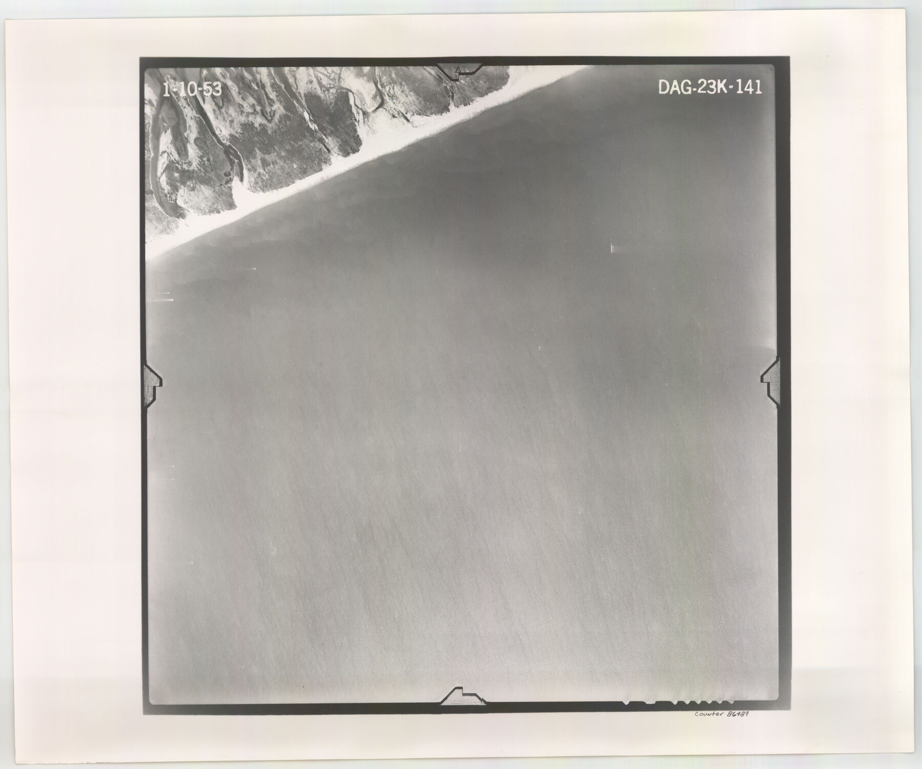
Flight Mission No. DAG-23K, Frame 141, Matagorda County
DAG-23K-141
-
Map/Doc
86489
-
Collection
General Map Collection
-
Object Dates
1953/1/10 (Creation Date)
-
People and Organizations
U. S. Department of Agriculture (Publisher)
-
Counties
Matagorda
-
Subjects
Aerial Photograph
-
Height x Width
18.7 x 22.4 inches
47.5 x 56.9 cm
-
Comments
Flown by Aero Exploration Company of Tulsa, Oklahoma.
Part of: General Map Collection
Orange County Working Sketch 32

Print $20.00
- Digital $50.00
Orange County Working Sketch 32
1956
Size 22.9 x 31.7 inches
Map/Doc 71364
Flight Mission No. DIX-6P, Frame 129, Aransas County

Print $20.00
- Digital $50.00
Flight Mission No. DIX-6P, Frame 129, Aransas County
1956
Size 18.9 x 22.4 inches
Map/Doc 83835
Flight Mission No. DQN-2K, Frame 41, Calhoun County

Print $20.00
- Digital $50.00
Flight Mission No. DQN-2K, Frame 41, Calhoun County
1953
Size 18.5 x 22.2 inches
Map/Doc 84246
Flight Mission No. DAG-21K, Frame 82, Matagorda County

Print $20.00
- Digital $50.00
Flight Mission No. DAG-21K, Frame 82, Matagorda County
1952
Size 18.5 x 22.3 inches
Map/Doc 86411
Flight Mission No. BQR-22K, Frame 37, Brazoria County

Print $20.00
- Digital $50.00
Flight Mission No. BQR-22K, Frame 37, Brazoria County
1953
Size 18.8 x 22.4 inches
Map/Doc 84121
Duval County Sketch File 71

Print $4.00
- Digital $50.00
Duval County Sketch File 71
1953
Size 15.2 x 9.0 inches
Map/Doc 21458
Chambers County Sketch File 41

Print $32.00
- Digital $50.00
Chambers County Sketch File 41
Size 14.7 x 9.1 inches
Map/Doc 17694
Floyd County Sketch File 9a

Print $4.00
- Digital $50.00
Floyd County Sketch File 9a
1912
Size 14.5 x 8.9 inches
Map/Doc 22699
Roberts County Boundary File 2e

Print $20.00
- Digital $50.00
Roberts County Boundary File 2e
Size 28.3 x 8.8 inches
Map/Doc 58367
Tyler County Working Sketch 10

Print $20.00
- Digital $50.00
Tyler County Working Sketch 10
1937
Size 24.0 x 24.1 inches
Map/Doc 69480
Kaufman County Sketch File 8

Print $4.00
- Digital $50.00
Kaufman County Sketch File 8
1851
Size 13.3 x 9.2 inches
Map/Doc 28638
Map of north end of Brazos Island

Print $20.00
- Digital $50.00
Map of north end of Brazos Island
Size 27.5 x 18.4 inches
Map/Doc 72905
You may also like
[Portion of Thomas Kelly Subdivision in Parmer and Castro Counties, Texas]
![92550, [Portion of Thomas Kelly Subdivision in Parmer and Castro Counties, Texas], Twichell Survey Records](https://historictexasmaps.com/wmedia_w700/maps/92550-1.tif.jpg)
Print $20.00
- Digital $50.00
[Portion of Thomas Kelly Subdivision in Parmer and Castro Counties, Texas]
1906
Size 20.3 x 16.4 inches
Map/Doc 92550
Map of North America designed to accompany Smith's Geography for Schools

Print $20.00
- Digital $50.00
Map of North America designed to accompany Smith's Geography for Schools
1850
Size 12.0 x 9.9 inches
Map/Doc 93883
Trinity County Sketch File 22

Print $23.00
- Digital $50.00
Trinity County Sketch File 22
1877
Size 9.4 x 12.3 inches
Map/Doc 38550
The Judicial District/County of DeWitt. Created, February 2, 1842

Print $20.00
The Judicial District/County of DeWitt. Created, February 2, 1842
2020
Size 22.4 x 21.7 inches
Map/Doc 96325
Texas Coordinate File 8

Print $4.00
- Digital $50.00
Texas Coordinate File 8
Size 11.3 x 8.7 inches
Map/Doc 75318
Schleicher County Working Sketch 26

Print $20.00
- Digital $50.00
Schleicher County Working Sketch 26
1962
Size 27.3 x 30.0 inches
Map/Doc 63828
Tourist Map of San Antonio showing points of interest, places of amusements, main thoroughfares and highways in and out of city and where they go

Print $20.00
- Digital $50.00
Tourist Map of San Antonio showing points of interest, places of amusements, main thoroughfares and highways in and out of city and where they go
Size 22.2 x 15.3 inches
Map/Doc 95956
Parker County Working Sketch 16

Print $20.00
- Digital $50.00
Parker County Working Sketch 16
1990
Map/Doc 71466
Ward County Working Sketch 13

Print $20.00
- Digital $50.00
Ward County Working Sketch 13
1947
Size 20.0 x 40.6 inches
Map/Doc 72319
[Surveys in Vehlein's Colony along the San Jacinto River]
![27, [Surveys in Vehlein's Colony along the San Jacinto River], General Map Collection](https://historictexasmaps.com/wmedia_w700/maps/27.tif.jpg)
Print $20.00
- Digital $50.00
[Surveys in Vehlein's Colony along the San Jacinto River]
1837
Size 19.4 x 15.7 inches
Map/Doc 27
Jim Wells Co.

Print $20.00
- Digital $50.00
Jim Wells Co.
1913
Size 43.1 x 21.4 inches
Map/Doc 66886
Coast Chart No. 209 - Aransas Pass, Aransas and Copano Bays, Texas

Print $20.00
- Digital $50.00
Coast Chart No. 209 - Aransas Pass, Aransas and Copano Bays, Texas
1889
Size 31.2 x 24.9 inches
Map/Doc 73429