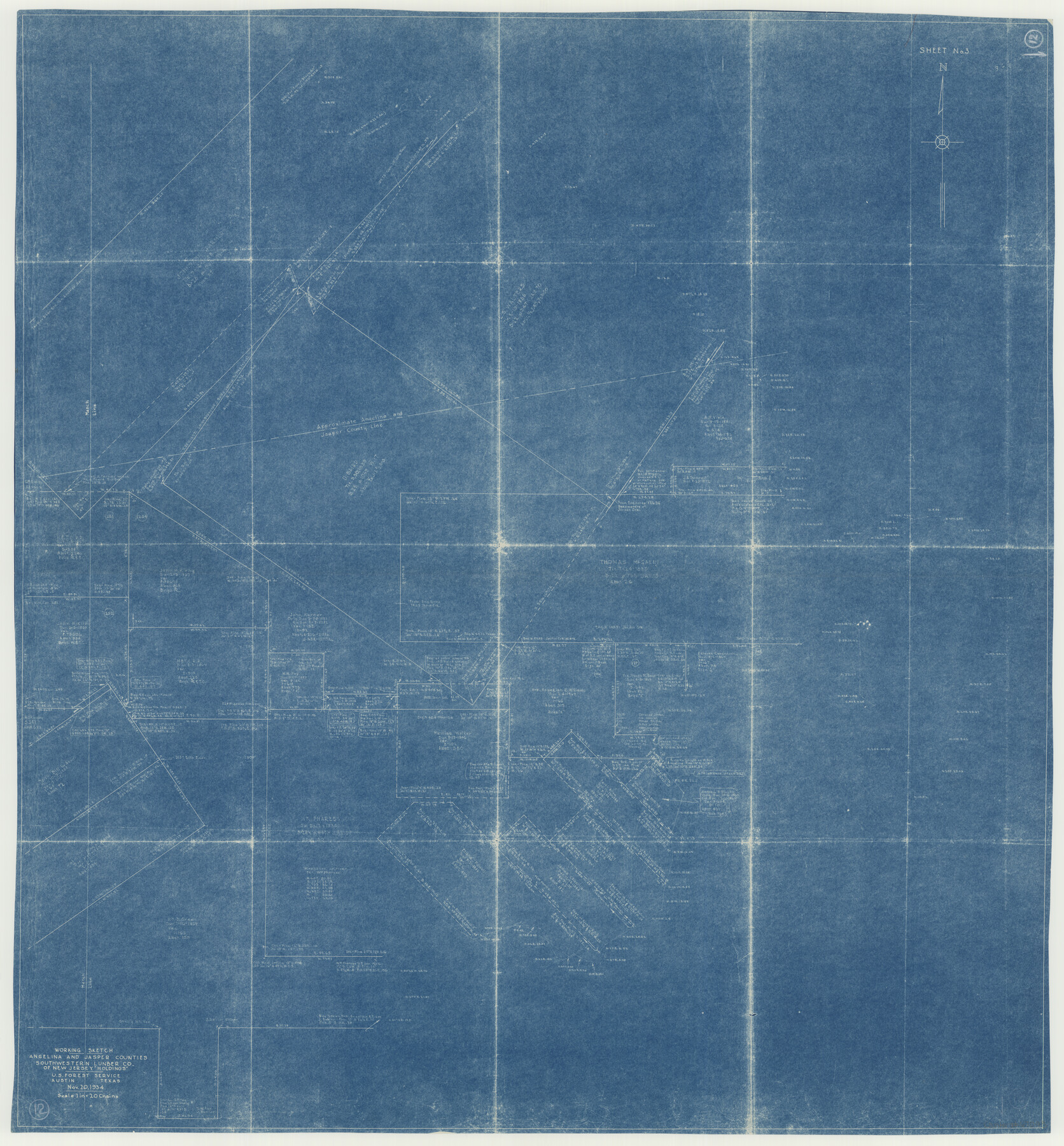
Angelina County Working Sketch 12
-
Map/Doc
67093
-
Collection
General Map Collection
-
Object Dates
11/20/1934 (Creation Date)
-
Counties
Angelina
-
Subjects
Surveying Working Sketch
-
Height x Width
40.8 x 37.9 inches
103.6 x 96.3 cm
-
Scale
1" = 20 chains
-
Comments
Surveys located about 34 miles South 60 degrees East from Lufkin, Texas.
Part of: General Map Collection
[Map of Texas and Pacific Blocks from Brazos River westward through Palo Pinto, Stephens, Shackelford, Jones, Callahan, Taylor, Fisher, Nolan and Mitchell Counties]
![93456, [Map of Texas and Pacific Blocks from Brazos River westward through Palo Pinto, Stephens, Shackelford, Jones, Callahan, Taylor, Fisher, Nolan and Mitchell Counties], General Map Collection](https://historictexasmaps.com/wmedia_w700/maps/93456-1.tif.jpg)
Print $20.00
- Digital $50.00
[Map of Texas and Pacific Blocks from Brazos River westward through Palo Pinto, Stephens, Shackelford, Jones, Callahan, Taylor, Fisher, Nolan and Mitchell Counties]
Size 22.0 x 18.5 inches
Map/Doc 93456
Potter County Boundary File 6b

Print $20.00
- Digital $50.00
Potter County Boundary File 6b
Size 37.9 x 8.7 inches
Map/Doc 58040
Edwards County Working Sketch 69

Print $20.00
- Digital $50.00
Edwards County Working Sketch 69
1957
Size 20.3 x 22.5 inches
Map/Doc 68945
Travis County Rolled Sketch 61

Print $20.00
- Digital $50.00
Travis County Rolled Sketch 61
2023
Size 36.0 x 24.0 inches
Map/Doc 97184
Throckmorton County

Print $20.00
- Digital $50.00
Throckmorton County
1880
Size 24.5 x 19.3 inches
Map/Doc 4079
Montague County Working Sketch 18

Print $20.00
- Digital $50.00
Montague County Working Sketch 18
1948
Size 27.9 x 21.4 inches
Map/Doc 71084
Crockett County Working Sketch 73

Print $20.00
- Digital $50.00
Crockett County Working Sketch 73
1963
Size 38.8 x 33.8 inches
Map/Doc 68406
[Surveys made in Peters Colony by Thomas Leckie]
![1983, [Surveys made in Peters Colony by Thomas Leckie], General Map Collection](https://historictexasmaps.com/wmedia_w700/maps/1983.tif.jpg)
Print $20.00
- Digital $50.00
[Surveys made in Peters Colony by Thomas Leckie]
1858
Size 22.9 x 16.6 inches
Map/Doc 1983
Castro County Sketch File 4b

Print $4.00
- Digital $50.00
Castro County Sketch File 4b
Size 13.5 x 8.9 inches
Map/Doc 17467
Starr County Working Sketch 5

Print $20.00
- Digital $50.00
Starr County Working Sketch 5
1930
Size 35.8 x 24.8 inches
Map/Doc 63921
Jefferson County Sketch File 40

Print $16.00
- Digital $50.00
Jefferson County Sketch File 40
1947
Size 12.3 x 7.9 inches
Map/Doc 28228
Crosby County Sketch File 35

Print $4.00
- Digital $50.00
Crosby County Sketch File 35
Size 8.5 x 12.1 inches
Map/Doc 20106
You may also like
Bell County Working Sketch 13

Print $20.00
- Digital $50.00
Bell County Working Sketch 13
1964
Size 19.6 x 18.5 inches
Map/Doc 67353
Right of Way & Track Map San Antonio & Aransas Pass Railway Co.

Print $40.00
- Digital $50.00
Right of Way & Track Map San Antonio & Aransas Pass Railway Co.
1919
Size 24.8 x 55.8 inches
Map/Doc 64038
McLennan County Sketch File 6

Print $4.00
- Digital $50.00
McLennan County Sketch File 6
1850
Size 7.2 x 7.9 inches
Map/Doc 31244
Winkler County Sketch File 16

Print $30.00
- Digital $50.00
Winkler County Sketch File 16
1929
Size 14.2 x 8.7 inches
Map/Doc 40493
Flight Mission No. BQR-4K, Frame 65, Brazoria County

Print $20.00
- Digital $50.00
Flight Mission No. BQR-4K, Frame 65, Brazoria County
1952
Size 18.5 x 22.3 inches
Map/Doc 83998
Fannin County Rolled Sketch 18E

Print $2.00
- Digital $50.00
Fannin County Rolled Sketch 18E
Size 9.5 x 8.2 inches
Map/Doc 5872
Kerr County Working Sketch 18

Print $20.00
- Digital $50.00
Kerr County Working Sketch 18
1956
Size 25.4 x 29.3 inches
Map/Doc 70049
Harrison County

Print $20.00
- Digital $50.00
Harrison County
1920
Size 45.1 x 41.8 inches
Map/Doc 1850
Wharton County Working Sketch 18

Print $20.00
- Digital $50.00
Wharton County Working Sketch 18
1948
Size 19.3 x 17.0 inches
Map/Doc 72482
[PSL Blocks A6-A12]
![89780, [PSL Blocks A6-A12], Twichell Survey Records](https://historictexasmaps.com/wmedia_w700/maps/89780-1.tif.jpg)
Print $40.00
- Digital $50.00
[PSL Blocks A6-A12]
Size 23.2 x 64.7 inches
Map/Doc 89780
Atlas T - Titles to Frontier Settlers issued by the Commissioner Carlos S. Taylor

Atlas T - Titles to Frontier Settlers issued by the Commissioner Carlos S. Taylor
1834
Map/Doc 94536
United States

Print $40.00
- Digital $50.00
United States
1961
Size 55.0 x 81.2 inches
Map/Doc 75922