[Surveys made in Peters Colony by Thomas Leckie]
K-5-4
-
Map/Doc
1983
-
Collection
General Map Collection
-
Object Dates
1858/6/15 (Creation Date)
-
People and Organizations
Thomas Leckie (Compiler)
Thomas Leckie (Draftsman)
Thomas Leckie (Surveyor/Engineer)
-
Counties
Young Jack Archer
-
Subjects
Colony
-
Height x Width
22.9 x 16.6 inches
58.2 x 42.2 cm
Part of: General Map Collection
Motley County Sketch File 7 (N)
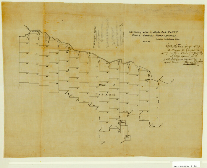

Print $20.00
- Digital $50.00
Motley County Sketch File 7 (N)
1901
Size 16.0 x 19.8 inches
Map/Doc 42140
Dickens County Working Sketch 5b
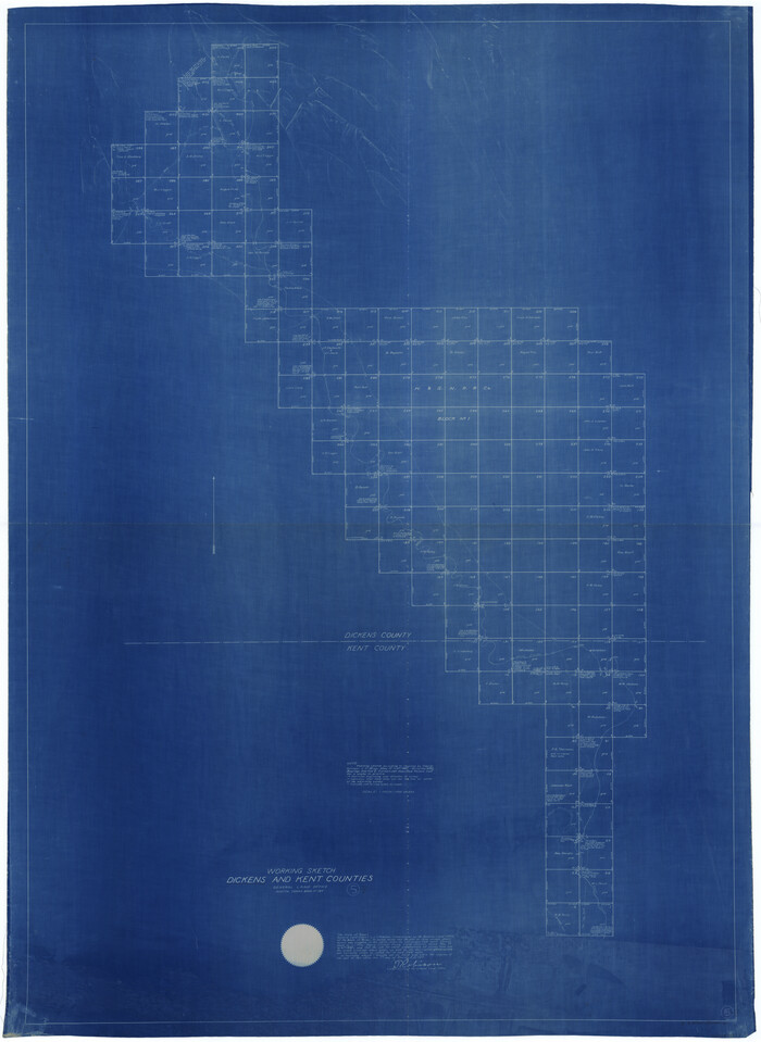

Print $40.00
- Digital $50.00
Dickens County Working Sketch 5b
1917
Size 59.4 x 43.3 inches
Map/Doc 68653
Map of Pecos Co.


Print $40.00
- Digital $50.00
Map of Pecos Co.
1896
Size 47.7 x 70.1 inches
Map/Doc 76038
Hudspeth County Working Sketch 37
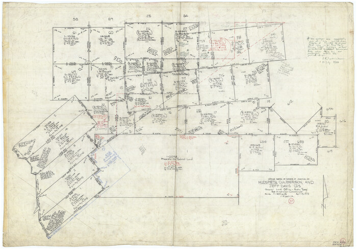

Print $20.00
- Digital $50.00
Hudspeth County Working Sketch 37
1978
Size 32.8 x 46.8 inches
Map/Doc 66322
Kaufman County Boundary File 1


Print $8.00
- Digital $50.00
Kaufman County Boundary File 1
Size 7.7 x 3.6 inches
Map/Doc 55903
The Oil and Gas Journal's Oil Map of Texas


Print $20.00
- Digital $50.00
The Oil and Gas Journal's Oil Map of Texas
1938
Size 38.3 x 39.4 inches
Map/Doc 96970
Hopkins County


Print $20.00
- Digital $50.00
Hopkins County
1942
Size 43.6 x 41.6 inches
Map/Doc 1858
Webb County Sketch File 10-1


Print $20.00
- Digital $50.00
Webb County Sketch File 10-1
1850
Size 14.8 x 15.5 inches
Map/Doc 12625
Starr County Sketch File 47
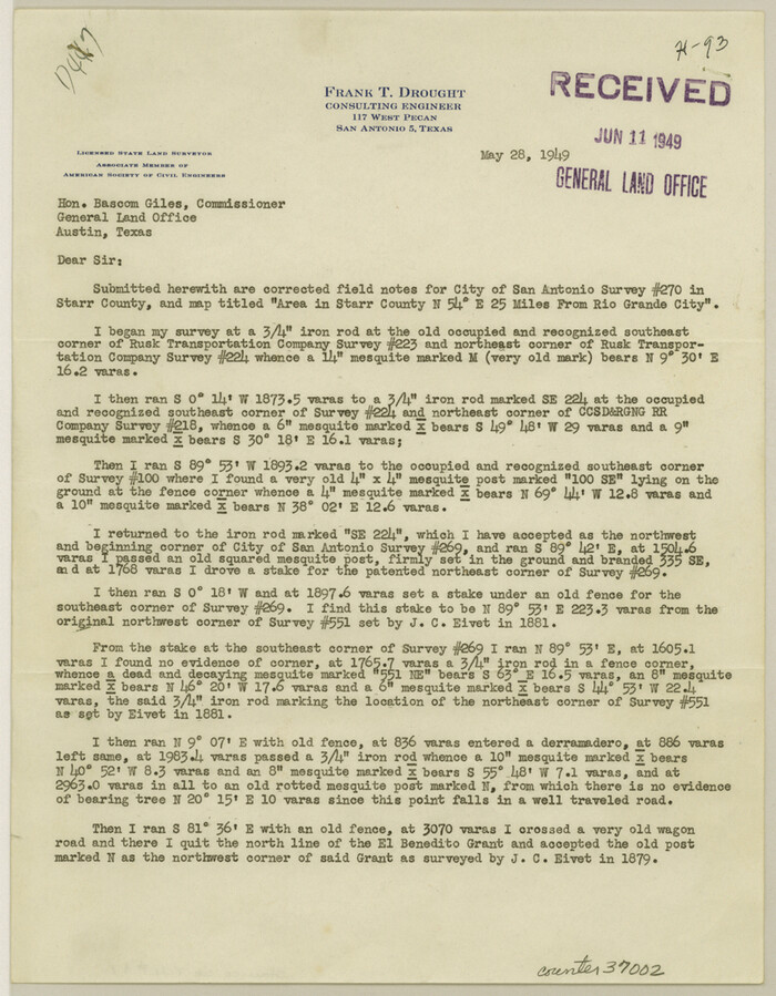

Print $6.00
- Digital $50.00
Starr County Sketch File 47
1949
Size 11.2 x 8.8 inches
Map/Doc 37002
Northern Part of Laguna Madre


Print $20.00
- Digital $50.00
Northern Part of Laguna Madre
1972
Size 44.2 x 35.0 inches
Map/Doc 73529
Potter County Working Sketch 1


Print $20.00
- Digital $50.00
Potter County Working Sketch 1
Size 16.3 x 17.2 inches
Map/Doc 71661
Bee County Sketch File 19
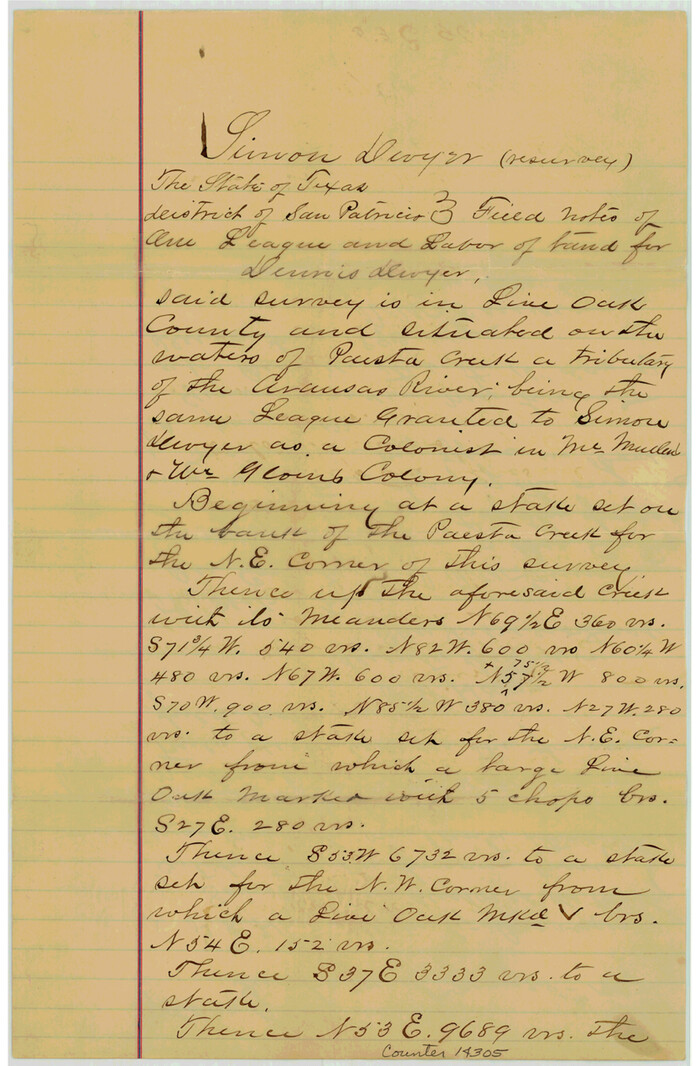

Print $6.00
- Digital $50.00
Bee County Sketch File 19
Size 12.7 x 8.4 inches
Map/Doc 14305
You may also like
Hopkins County Sketch File 28
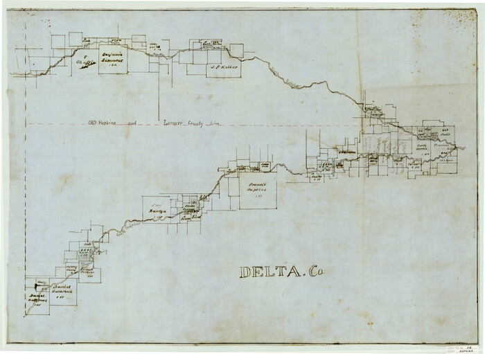

Print $20.00
- Digital $50.00
Hopkins County Sketch File 28
Size 24.8 x 34.0 inches
Map/Doc 11786
A New Map of Texas, Oregon, and California with the regions adjoining compiled from the most recent authorities


Print $20.00
- Digital $50.00
A New Map of Texas, Oregon, and California with the regions adjoining compiled from the most recent authorities
1846
Size 23.0 x 21.2 inches
Map/Doc 95748
United States of America corrected & improved from the best authorities
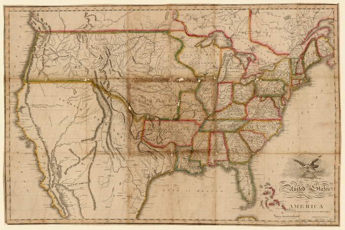

Print $20.00
- Digital $50.00
United States of America corrected & improved from the best authorities
1820
Size 17.5 x 26.3 inches
Map/Doc 93953
Live Oak County Working Sketch 37


Print $40.00
- Digital $50.00
Live Oak County Working Sketch 37
2012
Size 34.4 x 48.7 inches
Map/Doc 93363
Comanche County Sketch File 24 1/2

Print $6.00
- Digital $50.00
Comanche County Sketch File 24 1/2
Size 10.5 x 15.8 inches
Map/Doc 19113
Jack County Sketch File 3


Print $6.00
- Digital $50.00
Jack County Sketch File 3
1857
Size 10.6 x 16.5 inches
Map/Doc 27504
[Sketch in Southeast Part of County around J. H. Gibson Sections 1 and 2]
![91906, [Sketch in Southeast Part of County around J. H. Gibson Sections 1 and 2], Twichell Survey Records](https://historictexasmaps.com/wmedia_w700/maps/91906-1.tif.jpg)
![91906, [Sketch in Southeast Part of County around J. H. Gibson Sections 1 and 2], Twichell Survey Records](https://historictexasmaps.com/wmedia_w700/maps/91906-1.tif.jpg)
Print $2.00
- Digital $50.00
[Sketch in Southeast Part of County around J. H. Gibson Sections 1 and 2]
Size 14.2 x 7.3 inches
Map/Doc 91906
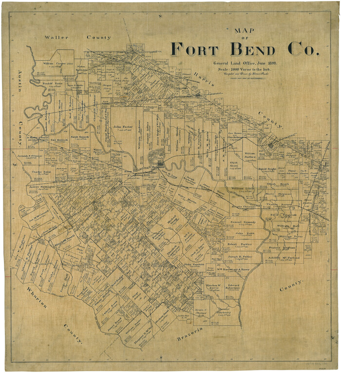
Map of Fort Bend Co.

Print $20.00
- Digital $50.00
Map of Fort Bend Co.
1898
Size 45.1 x 41.1 inches
Map/Doc 75965
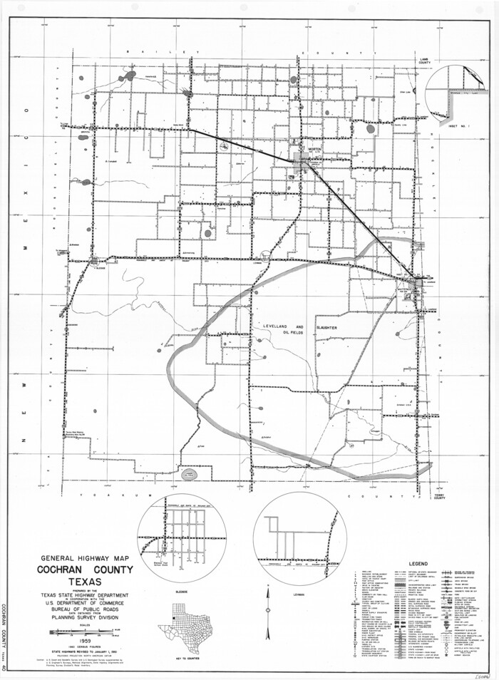
General Highway Map, Cochran County, Texas

Print $20.00
General Highway Map, Cochran County, Texas
1961
Size 24.8 x 18.2 inches
Map/Doc 79410
Flight Mission No. CRE-2R, Frame 152, Jackson County


Print $20.00
- Digital $50.00
Flight Mission No. CRE-2R, Frame 152, Jackson County
1956
Size 16.3 x 16.1 inches
Map/Doc 85363
Lipscomb County Working Sketch 4


Print $40.00
- Digital $50.00
Lipscomb County Working Sketch 4
1974
Size 51.7 x 43.8 inches
Map/Doc 70580
Cherokee County Sketch File 9


Print $8.00
- Digital $50.00
Cherokee County Sketch File 9
1853
Size 5.6 x 4.2 inches
Map/Doc 18132
![1983, [Surveys made in Peters Colony by Thomas Leckie], General Map Collection](https://historictexasmaps.com/wmedia_w1800h1800/maps/1983.tif.jpg)