
Map of the lower surveys in Robertsons Colony Sold by the State of Coahuila and Texas
1834
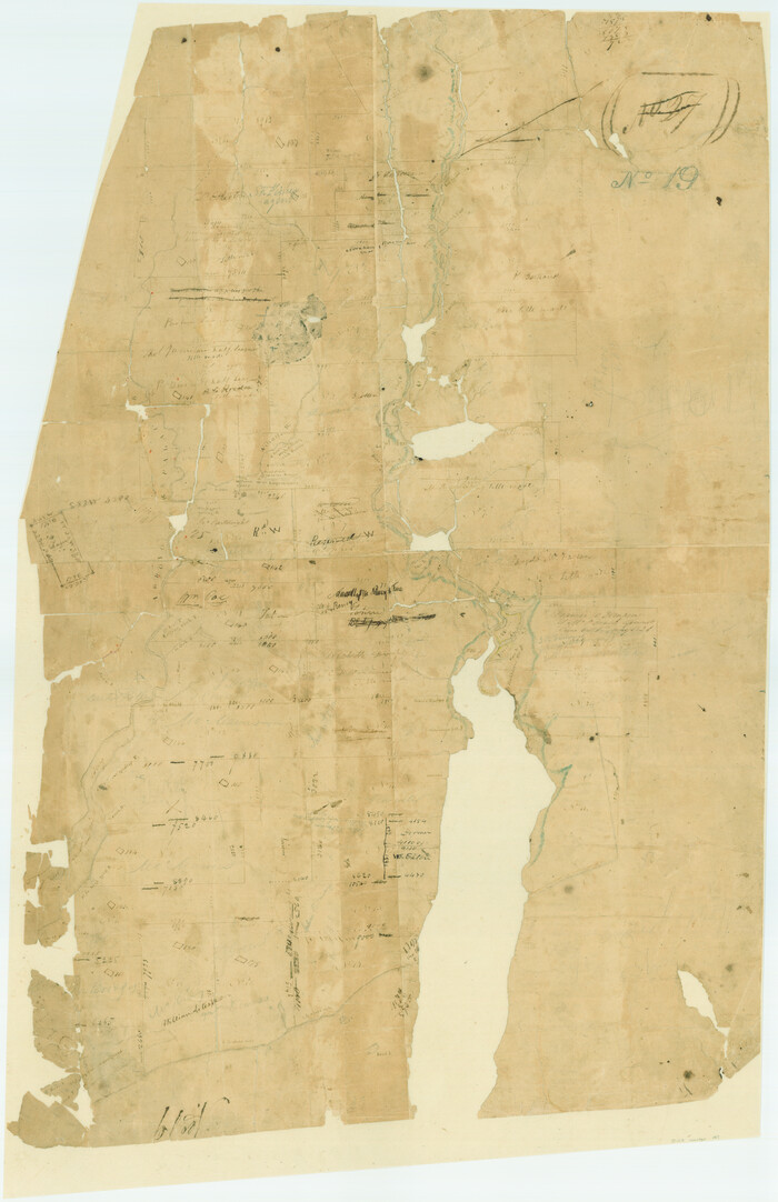
[Surveys in Austin's Colony at Matagorda Bay and along the Trespalacios and Colorado Rivers]
1821
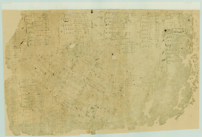
[Surveys in Austin's Colony along the San Antonio Road and the Colorado River]
1821

Austin's colony 1821-1836: In commemoration of the two hundredth birthday of Stephen F. Austin
1993
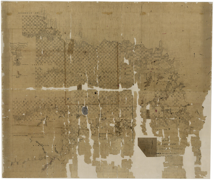
Map of Surveys made in Fisher and Miller's Colony
1848

Connected Map of DeWitt's Colony compiled from the surveys of Byrd Lockhart
1831

Connected Map of Austin's Colony
1837

Connected Map of Austin's Colony
1837

Boundaries of Robertson's Colony and of Milam's Colony
1840
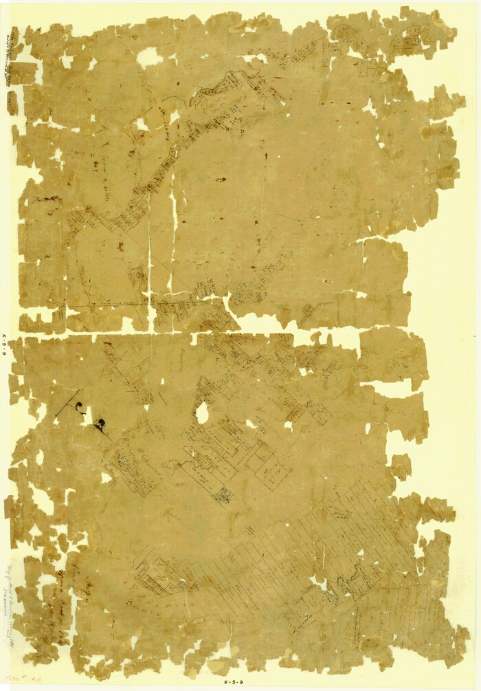
Map of Power and Hewetson Colony
1841
![1953, Field Notes of Mercer's Colony, Robertson, Nac[a]gdoches, Fannin, & Lamar Counties., General Map Collection](https://historictexasmaps.com/wmedia_w700/pdf_converted_jpg/qi_pdf_thumbnail_897.jpg)
Field Notes of Mercer's Colony, Robertson, Nac[a]gdoches, Fannin, & Lamar Counties.
1845

Map of Castro's Colony - Bexar District
1851

Map of The Surveyed Part of Peters Colony Texas
1852
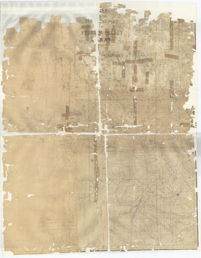
Map of The Surveyed Part of Peters Colony Texas
1852

Map of The Surveyed Part of Peters Colony Texas
1852
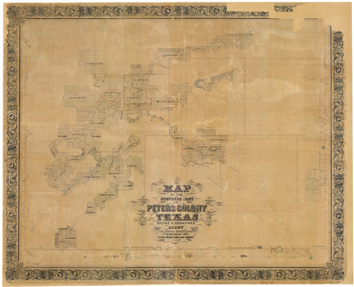
Map of The Surveyed Part of Peters Colony Texas
1854

Sketch showing the Connnecting Lines run by Olliver Hedgcoxe for the Texan Emigration and Land Company connecting their Surveys made by them in Peters' Colony, Texas
1854

Map of Fisher and Miller's Colony made from the records in the Office of the District Surveyor of Bexar comprising also all the recent surveys
1855
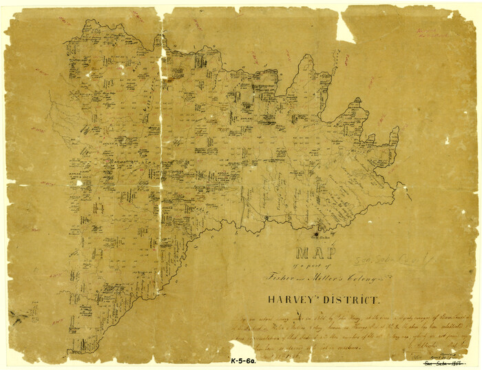
Map of a part of Fisher and Miller's Colony - Harvey's District
1856

Map of The Surveyed Part of Peters Colony Texas
1858
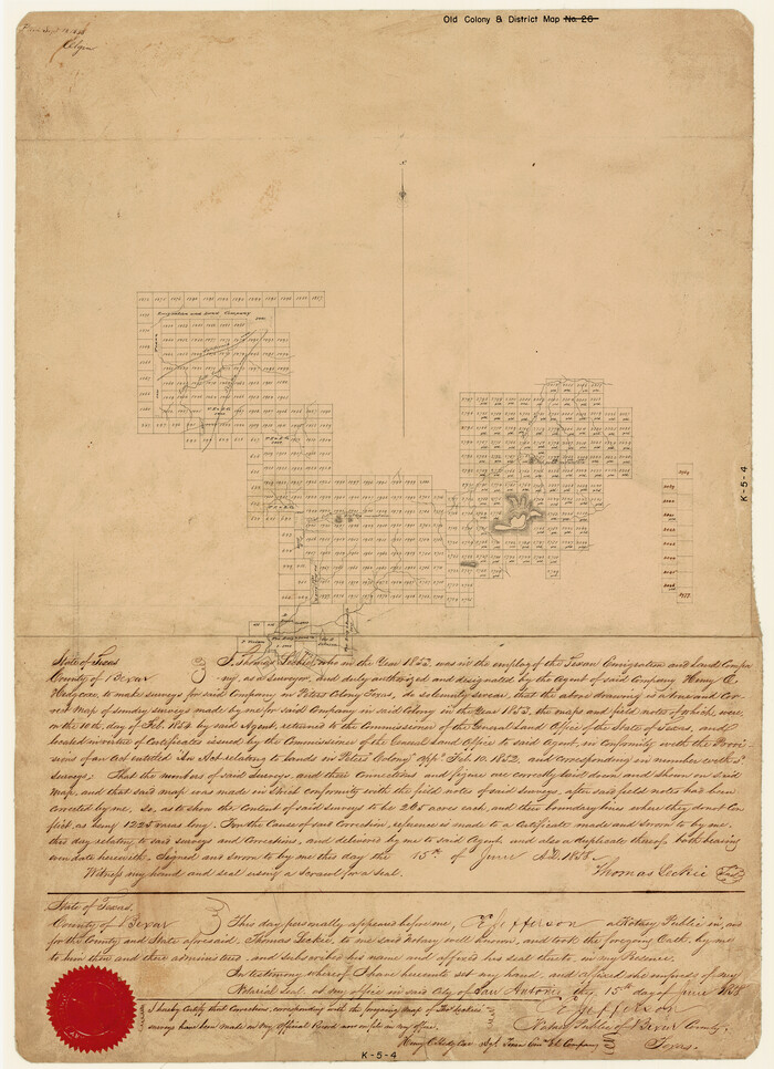
[Surveys made in Peters Colony by Thomas Leckie]
1858
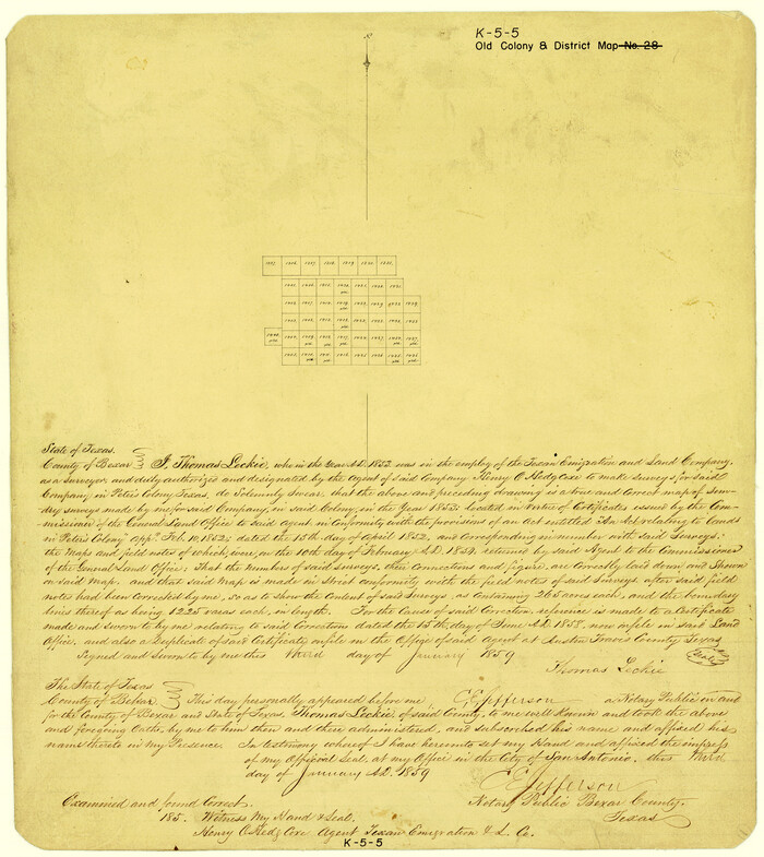
[Surveys made in Peters Colony by Thomas Leckie]
1859
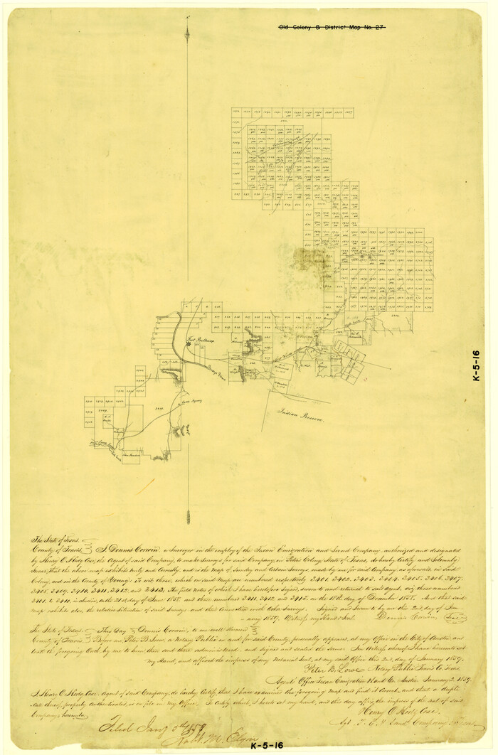
[Surveys made in Peters Colony by Dennis Corwin]
1859
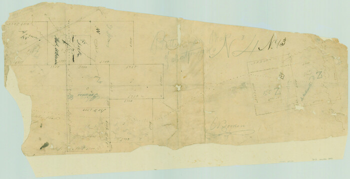
[Surveys in Austin's Colony near La Bahia Road]
1821
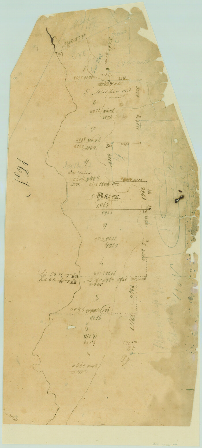
[Surveys in Austin's Colony along the San Bernardo River from the mouth of Peach Creek]
1821
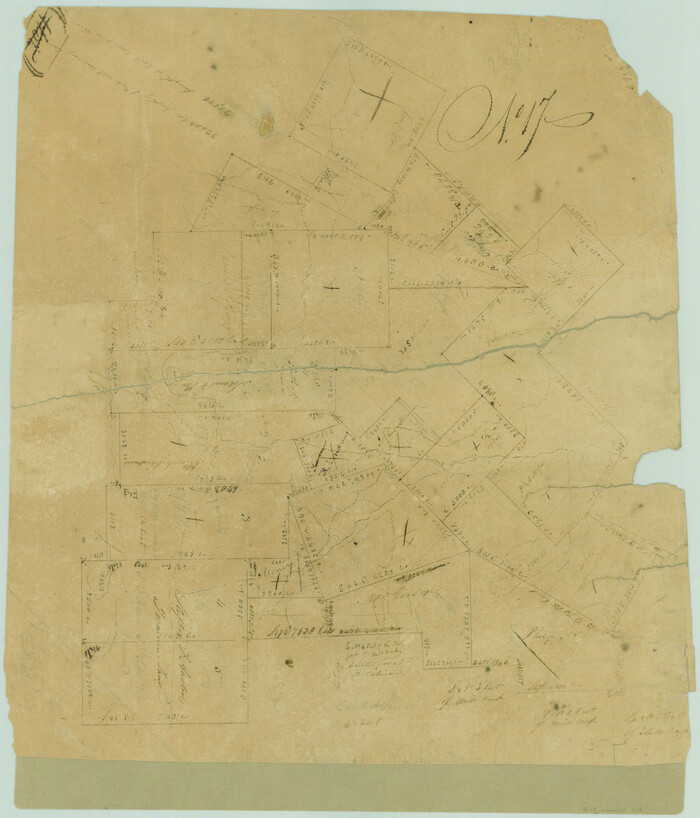
[Surveys in Austin's Colony along New Year's Creek and near the Brazos River]
1821
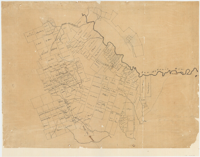
[Surveys in McMullen and McGloin's Colony along the San Antonio River]
1828

Map of The Surveyed Part of Peters Colony Texas
1852

Robertson County Sketch File 11
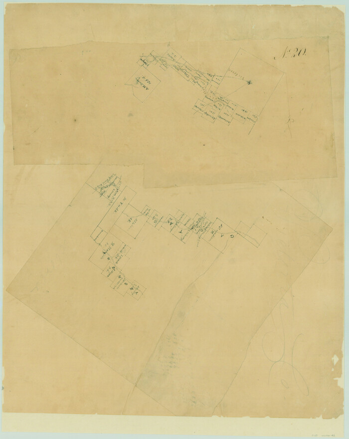
[Surveys in DeLeon's Colony along the Garcitas River and Arenosa Creek, including the Victoria town tract]
1824

Map of the lower surveys in Robertsons Colony Sold by the State of Coahuila and Texas
1834
-
Size
22.0 x 28.5 inches
-
Map/Doc
122
-
Creation Date
1834
![147, [Surveys in Austin's Colony at Matagorda Bay and along the Trespalacios and Colorado Rivers], General Map Collection](https://historictexasmaps.com/wmedia_w700/maps/147.tif.jpg)
[Surveys in Austin's Colony at Matagorda Bay and along the Trespalacios and Colorado Rivers]
1821
-
Size
31.6 x 20.5 inches
-
Map/Doc
147
-
Creation Date
1821
![15, [Surveys in Austin's Colony along the San Antonio Road and the Colorado River], General Map Collection](https://historictexasmaps.com/wmedia_w700/maps/15.tif.jpg)
[Surveys in Austin's Colony along the San Antonio Road and the Colorado River]
1821
-
Size
17.3 x 25.6 inches
-
Map/Doc
15
-
Creation Date
1821

Austin's colony 1821-1836: In commemoration of the two hundredth birthday of Stephen F. Austin
1993
-
Size
24.6 x 34.5 inches
-
Map/Doc
1675
-
Creation Date
1993

Map of Surveys made in Fisher and Miller's Colony
1848
-
Size
48.4 x 57.7 inches
-
Map/Doc
16830
-
Creation Date
1848

Connected Map of DeWitt's Colony compiled from the surveys of Byrd Lockhart
1831
-
Size
39.2 x 54.0 inches
-
Map/Doc
1942
-
Creation Date
1831

Connected Map of Austin's Colony
1837
-
Size
90.6 x 80.9 inches
-
Map/Doc
1943
-
Creation Date
1837

Connected Map of Austin's Colony
1837
1892 certified tracing of 1833-1837 original
-
Size
90.8 x 85.6 inches
-
Map/Doc
1944
-
Creation Date
1837

Boundaries of Robertson's Colony and of Milam's Colony
1840
-
Size
9.5 x 14.8 inches
-
Map/Doc
1949
-
Creation Date
1840

Map of Power and Hewetson Colony
1841
-
Size
34.8 x 24.3 inches
-
Map/Doc
1950
-
Creation Date
1841
![1953, Field Notes of Mercer's Colony, Robertson, Nac[a]gdoches, Fannin, & Lamar Counties., General Map Collection](https://historictexasmaps.com/wmedia_w700/pdf_converted_jpg/qi_pdf_thumbnail_897.jpg)
Field Notes of Mercer's Colony, Robertson, Nac[a]gdoches, Fannin, & Lamar Counties.
1845
-
Size
9.5 x 14.8 inches
-
Map/Doc
1953
-
Creation Date
1845

Map of Castro's Colony - Bexar District
1851
-
Size
36.4 x 33.1 inches
-
Map/Doc
1962
-
Creation Date
1851

Map of The Surveyed Part of Peters Colony Texas
1852
-
Size
53.0 x 28.1 inches
-
Map/Doc
1964
-
Creation Date
1852

Map of The Surveyed Part of Peters Colony Texas
1852
-
Size
54.1 x 42.3 inches
-
Map/Doc
1965
-
Creation Date
1852

Map of The Surveyed Part of Peters Colony Texas
1852
-
Size
56.5 x 41.0 inches
-
Map/Doc
1966
-
Creation Date
1852

Map of The Surveyed Part of Peters Colony Texas
1854
-
Size
53.5 x 65.9 inches
-
Map/Doc
1967
-
Creation Date
1854

Sketch showing the Connnecting Lines run by Olliver Hedgcoxe for the Texan Emigration and Land Company connecting their Surveys made by them in Peters' Colony, Texas
1854
-
Size
45.8 x 61.9 inches
-
Map/Doc
1969
-
Creation Date
1854

Map of Fisher and Miller's Colony made from the records in the Office of the District Surveyor of Bexar comprising also all the recent surveys
1855
-
Size
23.7 x 35.2 inches
-
Map/Doc
1971
-
Creation Date
1855

Map of a part of Fisher and Miller's Colony - Harvey's District
1856
-
Size
15.2 x 19.8 inches
-
Map/Doc
1972
-
Creation Date
1856

Map of The Surveyed Part of Peters Colony Texas
1858
-
Size
45.6 x 58.5 inches
-
Map/Doc
1982
-
Creation Date
1858
![1983, [Surveys made in Peters Colony by Thomas Leckie], General Map Collection](https://historictexasmaps.com/wmedia_w700/maps/1983.tif.jpg)
[Surveys made in Peters Colony by Thomas Leckie]
1858
-
Size
22.9 x 16.6 inches
-
Map/Doc
1983
-
Creation Date
1858
![1984, [Surveys made in Peters Colony by Thomas Leckie], General Map Collection](https://historictexasmaps.com/wmedia_w700/maps/1984.tif.jpg)
[Surveys made in Peters Colony by Thomas Leckie]
1859
-
Size
15.1 x 13.4 inches
-
Map/Doc
1984
-
Creation Date
1859
![1985, [Surveys made in Peters Colony by Dennis Corwin], General Map Collection](https://historictexasmaps.com/wmedia_w700/maps/1985.tif.jpg)
[Surveys made in Peters Colony by Dennis Corwin]
1859
-
Size
24.6 x 16.2 inches
-
Map/Doc
1985
-
Creation Date
1859
![200, [Surveys in Austin's Colony near La Bahia Road], General Map Collection](https://historictexasmaps.com/wmedia_w700/maps/200.tif.jpg)
[Surveys in Austin's Colony near La Bahia Road]
1821
-
Size
10.4 x 20.2 inches
-
Map/Doc
200
-
Creation Date
1821
![209, [Surveys in Austin's Colony along the San Bernardo River from the mouth of Peach Creek], General Map Collection](https://historictexasmaps.com/wmedia_w700/maps/209.tif.jpg)
[Surveys in Austin's Colony along the San Bernardo River from the mouth of Peach Creek]
1821
-
Size
23.4 x 10.6 inches
-
Map/Doc
209
-
Creation Date
1821
![218, [Surveys in Austin's Colony along New Year's Creek and near the Brazos River], General Map Collection](https://historictexasmaps.com/wmedia_w700/maps/218.tif.jpg)
[Surveys in Austin's Colony along New Year's Creek and near the Brazos River]
1821
-
Size
17.4 x 14.9 inches
-
Map/Doc
218
-
Creation Date
1821
![30, [Surveys in McMullen and McGloin's Colony along the San Antonio River], General Map Collection](https://historictexasmaps.com/wmedia_w700/maps/30-1.tif.jpg)
[Surveys in McMullen and McGloin's Colony along the San Antonio River]
1828
-
Size
19.3 x 24.5 inches
-
Map/Doc
30
-
Creation Date
1828

Map of The Surveyed Part of Peters Colony Texas
1852
-
Size
54.0 x 28.8 inches
-
Map/Doc
3155
-
Creation Date
1852

Robertson County Sketch File 11
-
Size
9.4 x 7.9 inches
-
Map/Doc
35398
![42, [Surveys in DeLeon's Colony along the Garcitas River and Arenosa Creek, including the Victoria town tract], General Map Collection](https://historictexasmaps.com/wmedia_w700/maps/42.tif.jpg)
[Surveys in DeLeon's Colony along the Garcitas River and Arenosa Creek, including the Victoria town tract]
1824
-
Size
22.1 x 17.6 inches
-
Map/Doc
42
-
Creation Date
1824