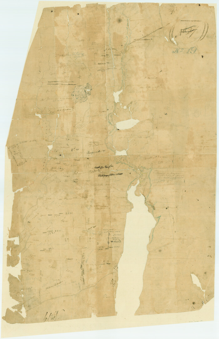
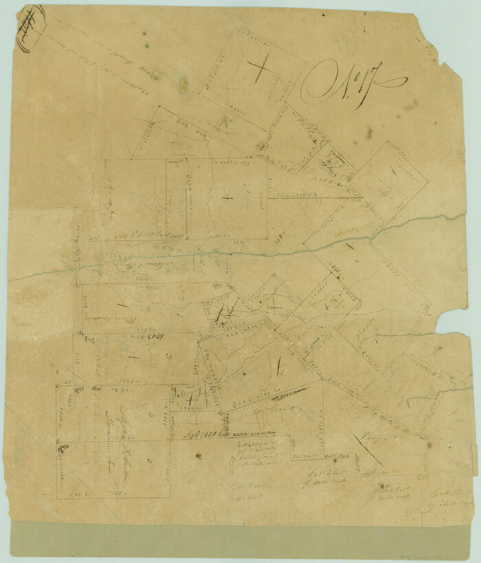
Robertson County Sketch File 11

Print $12.00
Robertson County Sketch File 11
Size: 9.4 x 7.9 inches
35398
Map of Texas in 1830 Showing Spanish Colonies

Print $20.00
- Digital $50.00
Map of Texas in 1830 Showing Spanish Colonies
Size: 41.1 x 42.0 inches
73588
Map of Trinity County

Print $20.00
- Digital $50.00
Map of Trinity County
Size: 17.8 x 24.8 inches
760
Map of Austin's Little Colony

Print $20.00
- Digital $50.00
Map of Austin's Little Colony
Size: 19.0 x 23.3 inches
76007
Plan of the town of Austin

Print $20.00
- Digital $50.00
Plan of the town of Austin
Size: 18.4 x 13.0 inches
94117
Index to Titles, Field, Notes, and Plats, A-Z

Index to Titles, Field, Notes, and Plats, A-Z
Size: 17.0 x 12.1 inches
94525


Translations & Index to Field Notes of Spanish Titles, Vol. 2 (Jackson - Wood Counties)

Translations & Index to Field Notes of Spanish Titles, Vol. 2 (Jackson - Wood Counties)
94552
Index to Burnet's, [Vehlein's] & Zavala's Colonies
![94553, Index to Burnet's, [Vehlein's] & Zavala's Colonies, Historical Volumes](https://historictexasmaps.com/wmedia_w700/pdf_converted_jpg/qi_pdf_thumbnail_39142.jpg)
Index to Burnet's, [Vehlein's] & Zavala's Colonies
94553
Reference Book of Burnet's, [Vehlein's] & Zavala's Colonies
![94554, Reference Book of Burnet's, [Vehlein's] & Zavala's Colonies, Historical Volumes](https://historictexasmaps.com/wmedia_w700/pdf_converted_jpg/qi_pdf_thumbnail_39143.jpg)
Reference Book of Burnet's, [Vehlein's] & Zavala's Colonies
94554
General Land Office Reference Book: Burnet's, Vehlein's, Zavala's, Robertson's Colonies in Texas

General Land Office Reference Book: Burnet's, Vehlein's, Zavala's, Robertson's Colonies in Texas
94555

Index to Titles, Field Notes, and Plats [in the Spanish Collection of the General Land Office]
![96676, Index to Titles, Field Notes, and Plats [in the Spanish Collection of the General Land Office], Historical Volumes](https://historictexasmaps.com/wmedia_w700/pdf_converted_jpg/qi_pdf_thumbnail_40663.jpg)
Index to Titles, Field Notes, and Plats [in the Spanish Collection of the General Land Office]
96676
A Map of Austin's Colony and adjacent country in Texas drawn principally from actual survey by Stephen F. Austin

A Map of Austin's Colony and adjacent country in Texas drawn principally from actual survey by Stephen F. Austin
1820
Size: 13.8 x 17.0 inches
93353
[Surveys in Austin's Colony at Matagorda Bay and along the Trespalacios and Colorado Rivers]
Print $20.00
- Digital $50.00
[Surveys in Austin's Colony at Matagorda Bay and along the Trespalacios and Colorado Rivers]
1821
Size: 31.6 x 20.5 inches
147
[Surveys in Austin's Colony along the San Antonio Road and the Colorado River]
Print $20.00
- Digital $50.00
[Surveys in Austin's Colony along the San Antonio Road and the Colorado River]
1821
Size: 17.3 x 25.6 inches
15
[Surveys in Austin's Colony near La Bahia Road]
Print $20.00
- Digital $50.00
[Surveys in Austin's Colony near La Bahia Road]
1821
Size: 10.4 x 20.2 inches
200
[Surveys in Austin's Colony along the San Bernardo River from the mouth of Peach Creek]
Print $20.00
- Digital $50.00
[Surveys in Austin's Colony along the San Bernardo River from the mouth of Peach Creek]
1821
Size: 23.4 x 10.6 inches
209
[Surveys in Austin's Colony along New Year's Creek and near the Brazos River]
Print $20.00
- Digital $50.00
[Surveys in Austin's Colony along New Year's Creek and near the Brazos River]
1821
Size: 17.4 x 14.9 inches
218
[Surveys in Austin's Colony along the Navasota River and Ten Mile Creek]
Print $20.00
- Digital $50.00
[Surveys in Austin's Colony along the Navasota River and Ten Mile Creek]
1821
Size: 29.2 x 18.0 inches
80
[Surveys in DeLeon's Colony along the Garcitas River and Arenosa Creek, including the Victoria town tract]
Print $20.00
- Digital $50.00
[Surveys in DeLeon's Colony along the Garcitas River and Arenosa Creek, including the Victoria town tract]
1824
Size: 22.1 x 17.6 inches
42
Transcribed English Field Notes from Austin's Colonies and Transcribed Spanish Titles from Robertson's Colony, 1825-1835

Transcribed English Field Notes from Austin's Colonies and Transcribed Spanish Titles from Robertson's Colony, 1825-1835
1825
Size: 17.0 x 12.1 inches
94532
Robertson County Sketch File 11
Print $12.00
Robertson County Sketch File 11
-
Size
9.4 x 7.9 inches
-
Map/Doc
35398
Map of Texas in 1830 Showing Spanish Colonies
Print $20.00
- Digital $50.00
Map of Texas in 1830 Showing Spanish Colonies
-
Size
41.1 x 42.0 inches
-
Map/Doc
73588
Map of Trinity County
Print $20.00
- Digital $50.00
Map of Trinity County
-
Size
17.8 x 24.8 inches
-
Map/Doc
760
Map of Austin's Little Colony
Print $20.00
- Digital $50.00
Map of Austin's Little Colony
-
Size
19.0 x 23.3 inches
-
Map/Doc
76007
Plan of the town of Austin
Print $20.00
- Digital $50.00
Plan of the town of Austin
-
Size
18.4 x 13.0 inches
-
Map/Doc
94117
Index to Titles, Field, Notes, and Plats, A-Z
Index to Titles, Field, Notes, and Plats, A-Z
-
Size
17.0 x 12.1 inches
-
Map/Doc
94525
Record of Spanish Titles, Vol. II

Record of Spanish Titles, Vol. II
-
Size
19.2 x 12.8 inches
-
Map/Doc
94527
Record of Spanish Titles, Vol. IV

Record of Spanish Titles, Vol. IV
-
Size
19.2 x 12.8 inches
-
Map/Doc
94529
Atlas B, 1-137, Burnet's Colony

Atlas B, 1-137, Burnet's Colony
-
Size
13.2 x 18.1 inches
-
Map/Doc
94537
Translations & Index to Field Notes of Spanish Titles, Vol. 2 (Jackson - Wood Counties)
Translations & Index to Field Notes of Spanish Titles, Vol. 2 (Jackson - Wood Counties)
-
Map/Doc
94552
Index to Burnet's, [Vehlein's] & Zavala's Colonies
Index to Burnet's, [Vehlein's] & Zavala's Colonies
-
Map/Doc
94553
Reference Book of Burnet's, [Vehlein's] & Zavala's Colonies
Reference Book of Burnet's, [Vehlein's] & Zavala's Colonies
-
Map/Doc
94554
General Land Office Reference Book: Burnet's, Vehlein's, Zavala's, Robertson's Colonies in Texas
General Land Office Reference Book: Burnet's, Vehlein's, Zavala's, Robertson's Colonies in Texas
-
Map/Doc
94555
Index to Titles, Field Notes, and Plats [in the Spanish Collection of the General Land Office]
Index to Titles, Field Notes, and Plats [in the Spanish Collection of the General Land Office]
-
Map/Doc
96676
A Map of Austin's Colony and adjacent country in Texas drawn principally from actual survey by Stephen F. Austin
A Map of Austin's Colony and adjacent country in Texas drawn principally from actual survey by Stephen F. Austin
1820
-
Size
13.8 x 17.0 inches
-
Map/Doc
93353
-
Creation Date
1820
[Surveys in Austin's Colony at Matagorda Bay and along the Trespalacios and Colorado Rivers]
Print $20.00
- Digital $50.00
[Surveys in Austin's Colony at Matagorda Bay and along the Trespalacios and Colorado Rivers]
1821
-
Size
31.6 x 20.5 inches
-
Map/Doc
147
-
Creation Date
1821
[Surveys in Austin's Colony along the San Antonio Road and the Colorado River]
Print $20.00
- Digital $50.00
[Surveys in Austin's Colony along the San Antonio Road and the Colorado River]
1821
-
Size
17.3 x 25.6 inches
-
Map/Doc
15
-
Creation Date
1821
[Surveys in Austin's Colony near La Bahia Road]
Print $20.00
- Digital $50.00
[Surveys in Austin's Colony near La Bahia Road]
1821
-
Size
10.4 x 20.2 inches
-
Map/Doc
200
-
Creation Date
1821
[Surveys in Austin's Colony along the San Bernardo River from the mouth of Peach Creek]
Print $20.00
- Digital $50.00
[Surveys in Austin's Colony along the San Bernardo River from the mouth of Peach Creek]
1821
-
Size
23.4 x 10.6 inches
-
Map/Doc
209
-
Creation Date
1821
[Surveys in Austin's Colony along New Year's Creek and near the Brazos River]
Print $20.00
- Digital $50.00
[Surveys in Austin's Colony along New Year's Creek and near the Brazos River]
1821
-
Size
17.4 x 14.9 inches
-
Map/Doc
218
-
Creation Date
1821
[Surveys in Austin's Colony along the Navasota River and Ten Mile Creek]
Print $20.00
- Digital $50.00
[Surveys in Austin's Colony along the Navasota River and Ten Mile Creek]
1821
-
Size
29.2 x 18.0 inches
-
Map/Doc
80
-
Creation Date
1821
[Surveys in DeLeon's Colony along the Garcitas River and Arenosa Creek, including the Victoria town tract]
Print $20.00
- Digital $50.00
[Surveys in DeLeon's Colony along the Garcitas River and Arenosa Creek, including the Victoria town tract]
1824
-
Size
22.1 x 17.6 inches
-
Map/Doc
42
-
Creation Date
1824
Transcribed English Field Notes from Austin's Colonies and Transcribed Spanish Titles from Robertson's Colony, 1825-1835
Transcribed English Field Notes from Austin's Colonies and Transcribed Spanish Titles from Robertson's Colony, 1825-1835
1825
-
Size
17.0 x 12.1 inches
-
Map/Doc
94532
-
Creation Date
1825