Index to Titles, Field Notes, and Plats [in the Spanish Collection of the General Land Office]
-
Map/Doc
96676
-
Collection
Historical Volumes
-
Object Dates
1998 (Publication Date)
-
People and Organizations
Galen D. Greaser (Author)
Michael T. Moore (Author)
Stephen Wilson (Compiler)
Alex Chiba (Compiler)
-
Subjects
Bound Volume Colony Mexican Texas
-
Medium
paper, bound volume
Part of: Historical Volumes
English Field Notes of the Spanish Archives - Book 8


English Field Notes of the Spanish Archives - Book 8
1835
Map/Doc 96534
Wavel's [Wavell's] Register of Families
![94252, Wavel's [Wavell's] Register of Families, Historical Volumes](https://historictexasmaps.com/wmedia_w700/pdf_converted_jpg/qi_pdf_thumbnail_38893.jpg)
![94252, Wavel's [Wavell's] Register of Families, Historical Volumes](https://historictexasmaps.com/wmedia_w700/pdf_converted_jpg/qi_pdf_thumbnail_38893.jpg)
Wavel's [Wavell's] Register of Families
Size 13.2 x 9.2 inches
Map/Doc 94252
English Field Notes of the Spanish Archives - Book 11


English Field Notes of the Spanish Archives - Book 11
1832
Map/Doc 96537
Deputy Surveyors Field Note Book, San Patricio County


Deputy Surveyors Field Note Book, San Patricio County
1838
Map/Doc 96675
English Field Notes of the Spanish Archives - Books SAS, DB4, GWS, JWB, and JWB3


English Field Notes of the Spanish Archives - Books SAS, DB4, GWS, JWB, and JWB3
1835
Map/Doc 96551
Correspondence between the Political Chief of Nacogdoches and the Ayuntamiento (CPCNA)
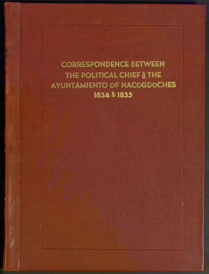

Correspondence between the Political Chief of Nacogdoches and the Ayuntamiento (CPCNA)
Size 12.7 x 9.7 inches
Map/Doc 94263
Translations of Titles issued under the Second Contract [500 Families] of Stephen F. Austin with the Government of Coahuila & Texas - Volume 1
![94546, Translations of Titles issued under the Second Contract [500 Families] of Stephen F. Austin with the Government of Coahuila & Texas - Volume 1, Historical Volumes](https://historictexasmaps.com/wmedia_w700/pdf_converted_jpg/qi_pdf_thumbnail_39135.jpg)
![94546, Translations of Titles issued under the Second Contract [500 Families] of Stephen F. Austin with the Government of Coahuila & Texas - Volume 1, Historical Volumes](https://historictexasmaps.com/wmedia_w700/pdf_converted_jpg/qi_pdf_thumbnail_39135.jpg)
Translations of Titles issued under the Second Contract [500 Families] of Stephen F. Austin with the Government of Coahuila & Texas - Volume 1
1840
Map/Doc 94546
Austin's Register of Families Vol. 1


Austin's Register of Families Vol. 1
Size 14.0 x 10.2 inches
Map/Doc 94249
English Field Notes of the Spanish Archives - Book 7


English Field Notes of the Spanish Archives - Book 7
1835
Map/Doc 96533
English Field Notes of the Spanish Archives - Book Lockhart


English Field Notes of the Spanish Archives - Book Lockhart
1832
Map/Doc 96539
Atlas T - Titles to Frontier Settlers issued by the Commissioner Carlos S. Taylor


Atlas T - Titles to Frontier Settlers issued by the Commissioner Carlos S. Taylor
1834
Map/Doc 94536
English Field Notes of the Spanish Archives - Books TJG, DB, A, A2, B, B2, WB, and WR


English Field Notes of the Spanish Archives - Books TJG, DB, A, A2, B, B2, WB, and WR
1835
Map/Doc 96553
You may also like
Randall County Sketch File 1


Print $50.00
- Digital $50.00
Randall County Sketch File 1
1912
Size 24.6 x 35.6 inches
Map/Doc 12205
Galveston County Sketch File 11a


Print $4.00
- Digital $50.00
Galveston County Sketch File 11a
1877
Size 7.8 x 8.4 inches
Map/Doc 23376
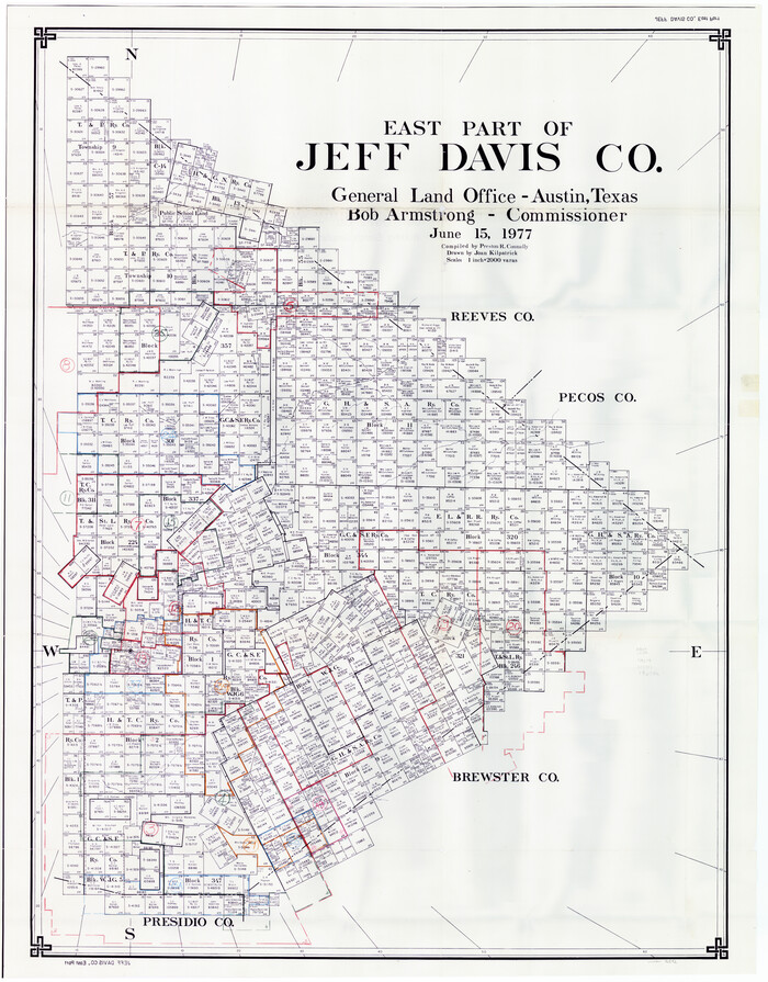
Jeff Davis County Working Sketch Graphic Index - east part

Print $20.00
- Digital $50.00
Jeff Davis County Working Sketch Graphic Index - east part
1977
Size 46.6 x 36.8 inches
Map/Doc 76592
Duval County Rolled Sketch 40


Print $20.00
- Digital $50.00
Duval County Rolled Sketch 40
1958
Size 22.8 x 31.1 inches
Map/Doc 5757
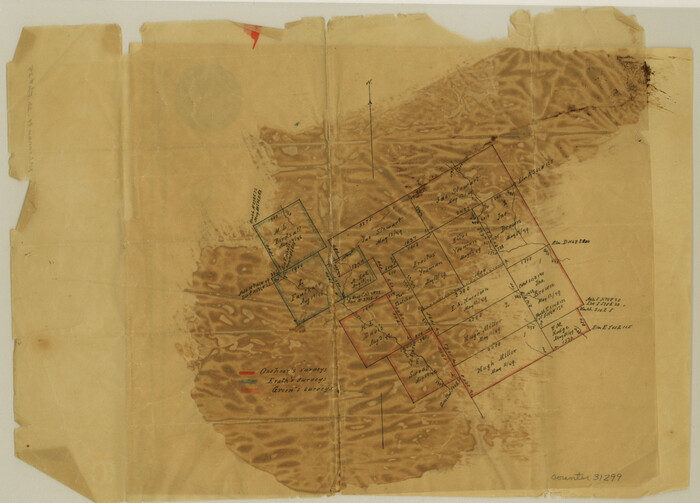
McLennan County Sketch File 25

Print $2.00
- Digital $50.00
McLennan County Sketch File 25
Size 8.8 x 12.3 inches
Map/Doc 31299
Flight Mission No. DQN-7K, Frame 34, Calhoun County


Print $20.00
- Digital $50.00
Flight Mission No. DQN-7K, Frame 34, Calhoun County
1953
Size 18.5 x 22.1 inches
Map/Doc 84472
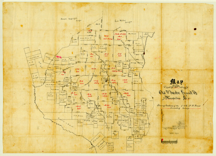
Nacogdoches County Sketch File 8

Print $20.00
- Digital $50.00
Nacogdoches County Sketch File 8
Size 20.8 x 28.7 inches
Map/Doc 42154
[Block AX and vicinity]
![90860, [Block AX and vicinity], Twichell Survey Records](https://historictexasmaps.com/wmedia_w700/maps/90860-2.tif.jpg)
![90860, [Block AX and vicinity], Twichell Survey Records](https://historictexasmaps.com/wmedia_w700/maps/90860-2.tif.jpg)
Print $20.00
- Digital $50.00
[Block AX and vicinity]
Size 35.9 x 19.7 inches
Map/Doc 90860
Dickens County
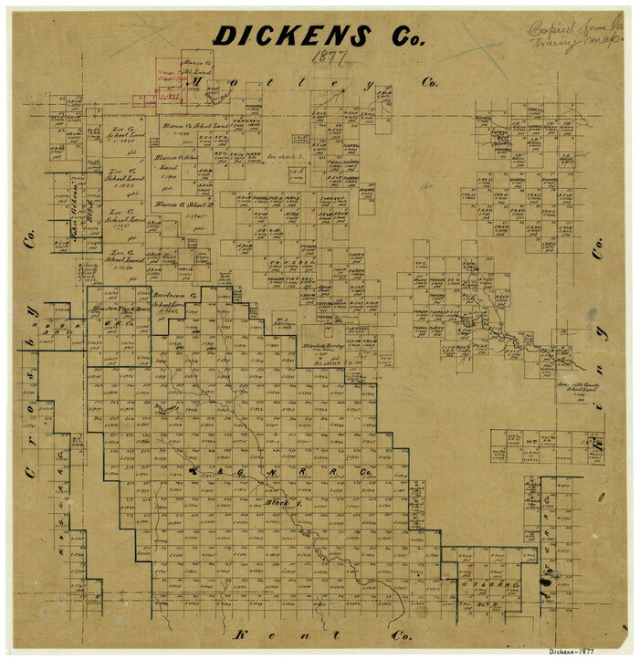

Print $20.00
- Digital $50.00
Dickens County
1877
Size 19.1 x 18.4 inches
Map/Doc 3486
DeWitt County Working Sketch 15


Print $20.00
- Digital $50.00
DeWitt County Working Sketch 15
1991
Size 30.0 x 42.1 inches
Map/Doc 68605
Dawson County Sketch File A
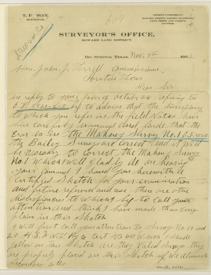

Print $28.00
- Digital $50.00
Dawson County Sketch File A
1903
Size 11.4 x 8.8 inches
Map/Doc 20461
Jackson County Sketch File 12
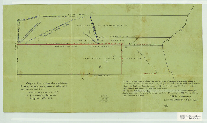

Print $20.00
- Digital $50.00
Jackson County Sketch File 12
1907
Size 12.3 x 20.7 inches
Map/Doc 11838
![96676, Index to Titles, Field Notes, and Plats [in the Spanish Collection of the General Land Office], Historical Volumes](https://historictexasmaps.com/wmedia_w1800h1800/pdf_converted_jpg/qi_pdf_thumbnail_40663.jpg)