Deputy Surveyors Field Note Book, San Patricio County
-
Map/Doc
96675
-
Collection
Historical Volumes
-
Object Dates
1838 (Survey Date)
1839 (Survey Date)
1838-1839 (Creation Date)
-
People and Organizations
James M. Manning (Surveyor/Engineer)
William B. Burditt (Surveyor/Engineer)
J.J.H. Grammont (Surveyor/Engineer)
William R. Hensley (Surveyor/Engineer)
John Buchanan (Surveyor/Engineer)
John P. Borden (GLO Commissioner)
-
Subjects
Bound Volume Republic of Texas
-
Medium
paper, bound volume
-
Comments
Contains field notes by James M. Manning, William B. Burditt, J.J.H. Grammont, and William R. Hensley, all Deputy Surveyors for San Patricio County. Also includes letters of instruction from John P. Borden, Commissioner of the General Land Office and John Buchanan, County Surveyor for San Patricio County.
Part of: Historical Volumes
Translations of Titles - Austin's Second Contract, Vol. 2


Translations of Titles - Austin's Second Contract, Vol. 2
1841
Map/Doc 94547
Record of Spanish Titles, Vol. IV


Record of Spanish Titles, Vol. IV
Size 19.2 x 12.8 inches
Map/Doc 94529
Record of Spanish Titles, Vol. V


Record of Spanish Titles, Vol. V
1845
Size 16.4 x 12.3 inches
Map/Doc 94530
Record of Spanish Titles, Vol. II


Record of Spanish Titles, Vol. II
Size 19.2 x 12.8 inches
Map/Doc 94527
English Field Notes of the Spanish Archives - Book 9


English Field Notes of the Spanish Archives - Book 9
1835
Map/Doc 96535
Reports of Wm. H. Bourland and James B. Miller, Commissioners to Investigate Land Titles West of the Nueces
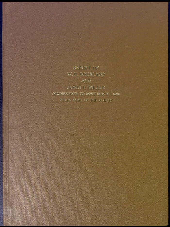

Reports of Wm. H. Bourland and James B. Miller, Commissioners to Investigate Land Titles West of the Nueces
1850
Size 17.2 x 12.9 inches
Map/Doc 94259
English Field Notes of the Spanish Archives - Books J.S.2, 3, and 4
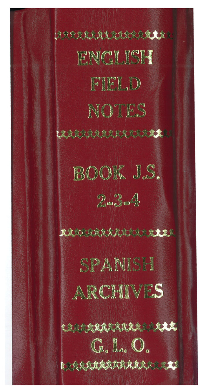

English Field Notes of the Spanish Archives - Books J.S.2, 3, and 4
1835
Map/Doc 96550
English Field Notes of the Spanish Archives - Book 5


English Field Notes of the Spanish Archives - Book 5
1835
Map/Doc 96531
Minutes of the Ayuntamiento of San Felipe de Austin Vol. 1


Minutes of the Ayuntamiento of San Felipe de Austin Vol. 1
Size 13.9 x 10.6 inches
Map/Doc 94260
Index to Field Notes, Plats: Spanish Archives


Index to Field Notes, Plats: Spanish Archives
1981
Map/Doc 94531
You may also like
Gregg County Rolled Sketch 21

Print $20.00
- Digital $50.00
Gregg County Rolled Sketch 21
1957
Size 34.4 x 40.4 inches
Map/Doc 10650
Gulf Oil Corp. Fishgide - Matagorda

Gulf Oil Corp. Fishgide - Matagorda
1960
Size 12.5 x 22.4 inches
Map/Doc 75977
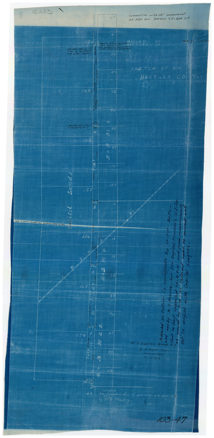
Sketch of Block A7, Hartley County, Texas

Print $20.00
- Digital $50.00
Sketch of Block A7, Hartley County, Texas
1905
Size 10.2 x 22.1 inches
Map/Doc 90756
Flight Mission No. CRC-3R, Frame 54, Chambers County


Print $20.00
- Digital $50.00
Flight Mission No. CRC-3R, Frame 54, Chambers County
1956
Size 18.7 x 22.4 inches
Map/Doc 84826
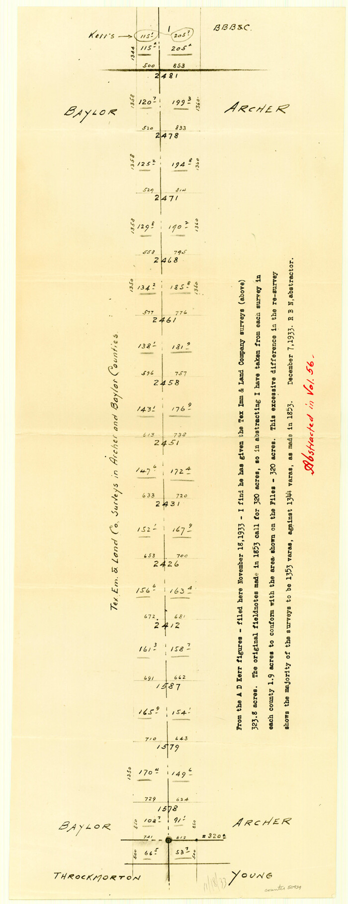
Baylor County Boundary File 17

Print $20.00
- Digital $50.00
Baylor County Boundary File 17
Size 20.0 x 7.7 inches
Map/Doc 50434
Flight Mission No. CRC-2R, Frame 118, Chambers County

Print $20.00
- Digital $50.00
Flight Mission No. CRC-2R, Frame 118, Chambers County
1956
Size 18.6 x 21.6 inches
Map/Doc 84742
Trinity County Rolled Sketch 2


Print $20.00
- Digital $50.00
Trinity County Rolled Sketch 2
1948
Size 34.5 x 34.9 inches
Map/Doc 10024
Flight Mission No. DAG-24K, Frame 124, Matagorda County

Print $20.00
- Digital $50.00
Flight Mission No. DAG-24K, Frame 124, Matagorda County
1953
Size 18.4 x 22.3 inches
Map/Doc 86542
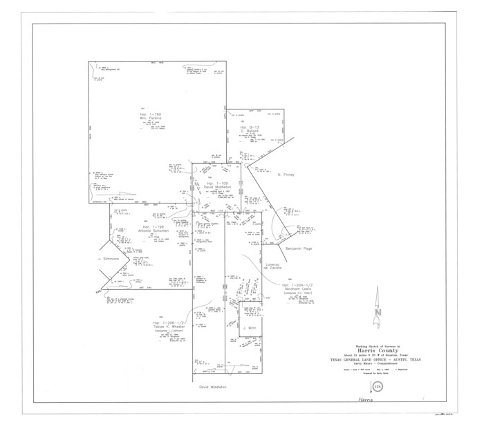
Harris County Working Sketch 124

Print $20.00
- Digital $50.00
Harris County Working Sketch 124
1993
Size 30.0 x 34.0 inches
Map/Doc 66016
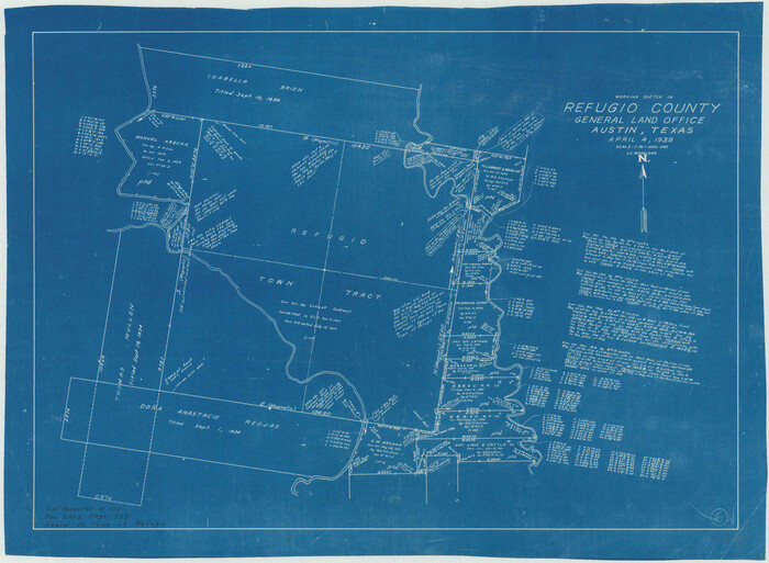
Refugio County Working Sketch 6

Print $20.00
- Digital $50.00
Refugio County Working Sketch 6
1939
Size 21.4 x 29.1 inches
Map/Doc 63515
Flight Mission No. BRA-9M, Frame 75, Jefferson County

Print $20.00
- Digital $50.00
Flight Mission No. BRA-9M, Frame 75, Jefferson County
1953
Size 18.6 x 22.5 inches
Map/Doc 85658
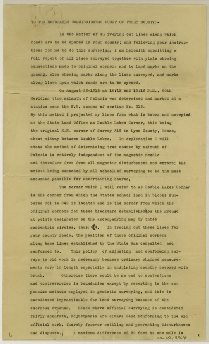
Terry County Sketch File 4

Print $20.00
- Digital $50.00
Terry County Sketch File 4
1913
Size 14.4 x 8.7 inches
Map/Doc 38016


