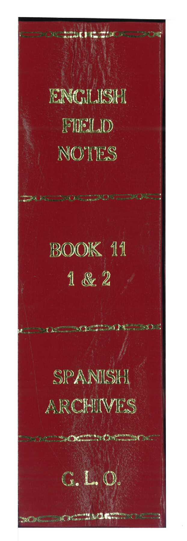
English Field Notes of the Spanish Archives - Book 11
Parts I and II
-
Map/Doc
96537
-
Collection
Historical Volumes
-
Object Dates
1832 (Creation Date)
-
People and Organizations
Horatio Chriesman (Surveyor/Engineer)
Samuel Dickson [Dixon] (Surveyor/Engineer)
Thomas H. Borden (Surveyor/Engineer)
-
Counties
Austin Brazoria Burleson Fort Bend Washington
-
Subjects
Bound Volume Colony Mexican Texas
-
Medium
paper, bound volume
-
Comments
Compilation of English field notes for surveys performed in Austin's Colony.
Related maps
English Field Notes of the Spanish Archives - Book 1

English Field Notes of the Spanish Archives - Book 1
1833
Map/Doc 96527
English Field Notes of the Spanish Archives - Book 2

English Field Notes of the Spanish Archives - Book 2
1835
Map/Doc 96528
English Field Notes of the Spanish Archives - Book 3

English Field Notes of the Spanish Archives - Book 3
1835
Map/Doc 96529
English Field Notes of the Spanish Archives - Book 4 & W

English Field Notes of the Spanish Archives - Book 4 & W
1836
Map/Doc 96530
English Field Notes of the Spanish Archives - Book 5

English Field Notes of the Spanish Archives - Book 5
1835
Map/Doc 96531
English Field Notes of the Spanish Archives - Book 6

English Field Notes of the Spanish Archives - Book 6
1836
Map/Doc 96532
English Field Notes of the Spanish Archives - Book 7

English Field Notes of the Spanish Archives - Book 7
1835
Map/Doc 96533
English Field Notes of the Spanish Archives - Book 8

English Field Notes of the Spanish Archives - Book 8
1835
Map/Doc 96534
English Field Notes of the Spanish Archives - Book 9

English Field Notes of the Spanish Archives - Book 9
1835
Map/Doc 96535
English Field Notes of the Spanish Archives - Book 10

English Field Notes of the Spanish Archives - Book 10
1835
Map/Doc 96536
English Field Notes of the Spanish Archives - Book 11

English Field Notes of the Spanish Archives - Book 11
1832
Map/Doc 96537
English Field Notes of the Spanish Archives - Book 12

English Field Notes of the Spanish Archives - Book 12
1832
Map/Doc 96538
English Field Notes of the Spanish Archives - Book Lockhart

English Field Notes of the Spanish Archives - Book Lockhart
1832
Map/Doc 96539
English Field Notes of the Spanish Archives - Book A-B

English Field Notes of the Spanish Archives - Book A-B
1835
Map/Doc 96540
English Field Notes of the Spanish Archives - Book C

English Field Notes of the Spanish Archives - Book C
1835
Map/Doc 96541
English Field Notes of the Spanish Archives - Book D

English Field Notes of the Spanish Archives - Book D
1835
Map/Doc 96542
English Field Notes of the Spanish Archives - Book S

English Field Notes of the Spanish Archives - Book S
1835
Map/Doc 96543
English Field Notes of the Spanish Archives - Book SAW

English Field Notes of the Spanish Archives - Book SAW
1834
Map/Doc 96544
English Field Notes of the Spanish Archives - Books GMP, FH, SCH, and JAV

English Field Notes of the Spanish Archives - Books GMP, FH, SCH, and JAV
1835
Map/Doc 96545
English Field Notes of the Spanish Archives - Books DBE, WBPS, GAN, WB3, and X

English Field Notes of the Spanish Archives - Books DBE, WBPS, GAN, WB3, and X
1835
Map/Doc 96546
Part of: Historical Volumes
Acts of the Visit of the Royal Commissioners (sometimes referred to as the “Visita General”) - Mier

Acts of the Visit of the Royal Commissioners (sometimes referred to as the “Visita General”) - Mier
1767
Size 14.0 x 9.2 inches
Map/Doc 94257
Index to Burnet's, [Vehlein's] & Zavala's Colonies
![94553, Index to Burnet's, [Vehlein's] & Zavala's Colonies, Historical Volumes](https://historictexasmaps.com/wmedia_w700/pdf_converted_jpg/qi_pdf_thumbnail_39142.jpg)
Index to Burnet's, [Vehlein's] & Zavala's Colonies
Map/Doc 94553
Atlas T - Titles to Frontier Settlers issued by the Commissioner Carlos S. Taylor

Atlas T - Titles to Frontier Settlers issued by the Commissioner Carlos S. Taylor
1834
Map/Doc 94536


Acts of the Visit of the Royal Commissioners (sometimes referred to as the “Visita General”) - Reynosa

Acts of the Visit of the Royal Commissioners (sometimes referred to as the “Visita General”) - Reynosa
1767
Size 14.1 x 9.3 inches
Map/Doc 94258
Wavel's [Wavell's] Register of Families
![94252, Wavel's [Wavell's] Register of Families, Historical Volumes](https://historictexasmaps.com/wmedia_w700/pdf_converted_jpg/qi_pdf_thumbnail_38893.jpg)
Wavel's [Wavell's] Register of Families
Size 13.2 x 9.2 inches
Map/Doc 94252
Index to Field Notes, Plats: Spanish Archives

Index to Field Notes, Plats: Spanish Archives
1981
Map/Doc 94531
Political Chief of Nacogdoches Correspondence with Various People (PCCVP)

Political Chief of Nacogdoches Correspondence with Various People (PCCVP)
Size 12.5 x 9.0 inches
Map/Doc 94264
Transcribed English Field Notes from Austin's Colonies and Transcribed Spanish Titles from Robertson's Colony, 1825-1835

Transcribed English Field Notes from Austin's Colonies and Transcribed Spanish Titles from Robertson's Colony, 1825-1835
1825
Size 17.0 x 12.1 inches
Map/Doc 94532
English Field Notes of the Spanish Archives - Books GMP, FH, SCH, and JAV
English Field Notes of the Spanish Archives - Books GMP, FH, SCH, and JAV
1835
Map/Doc 96545
English Field Notes of the Spanish Archives - Book 9
English Field Notes of the Spanish Archives - Book 9
1835
Map/Doc 96535
You may also like
Montgomery County Rolled Sketch 10

Print $20.00
- Digital $50.00
Montgomery County Rolled Sketch 10
1905
Size 35.5 x 26.2 inches
Map/Doc 6796
Red River County Working Sketch 6

Print $20.00
- Digital $50.00
Red River County Working Sketch 6
1919
Size 20.1 x 20.9 inches
Map/Doc 71989
Located Line of the Panhandle & Gulf Ry. through State Lands, Public School and University, in Upton County Texas, Right of Way 200 feet wide

Print $40.00
- Digital $50.00
Located Line of the Panhandle & Gulf Ry. through State Lands, Public School and University, in Upton County Texas, Right of Way 200 feet wide
Size 13.3 x 102.6 inches
Map/Doc 64052
Hall County Boundary File 1c

Print $40.00
- Digital $50.00
Hall County Boundary File 1c
Size 10.0 x 34.6 inches
Map/Doc 54175
Minutes of the Ayuntamiento of San Felipe de Austin Vol. 2

Minutes of the Ayuntamiento of San Felipe de Austin Vol. 2
Size 13.3 x 10.5 inches
Map/Doc 94261
Chambers County Sketch File 29

Print $20.00
- Digital $50.00
Chambers County Sketch File 29
Size 29.0 x 34.5 inches
Map/Doc 10332
Crockett County Rolled Sketch 42A

Print $20.00
- Digital $50.00
Crockett County Rolled Sketch 42A
Size 20.3 x 24.4 inches
Map/Doc 5593
Freestone County Working Sketch 11

Print $40.00
- Digital $50.00
Freestone County Working Sketch 11
1978
Size 31.4 x 51.4 inches
Map/Doc 69253
Roberts County Working Sketch 18

Print $20.00
- Digital $50.00
Roberts County Working Sketch 18
1975
Size 35.6 x 39.7 inches
Map/Doc 63544
Brooks County Sketch File 3

Print $40.00
- Digital $50.00
Brooks County Sketch File 3
Size 21.5 x 19.0 inches
Map/Doc 11016

Armstrong County Sketch File A-8

Print $80.00
- Digital $50.00
Armstrong County Sketch File A-8
Size 21.3 x 33.2 inches
Map/Doc 10850