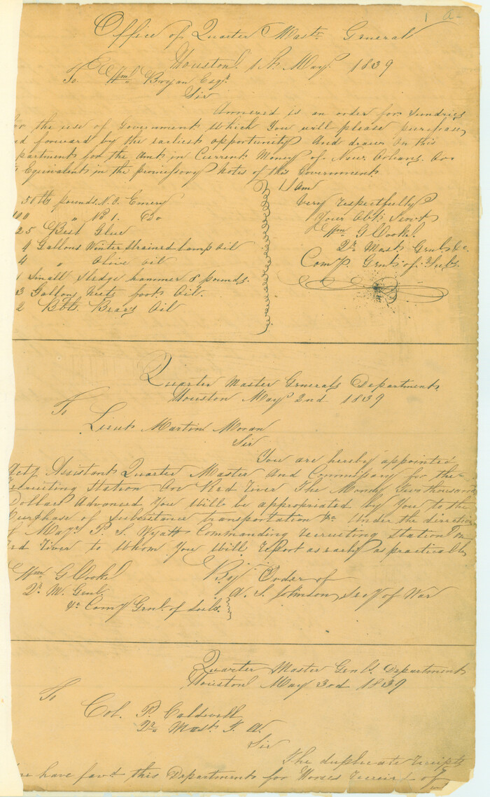
Index to Field Notes, Plats: Spanish Archives
-
Map/Doc
94531
-
Collection
Historical Volumes
-
Object Dates
1981 (Creation Date)
-
Subjects
Bound Volume Colony Mexican Texas
-
Medium
paper, bound volume
Part of: Historical Volumes
Correspondence between the Political Chief of Nacogdoches and the Ayuntamiento (CPCNA)
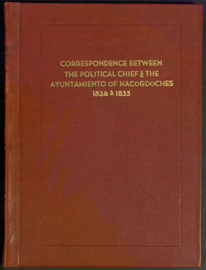

Correspondence between the Political Chief of Nacogdoches and the Ayuntamiento (CPCNA)
Size 12.7 x 9.7 inches
Map/Doc 94263
Translations of Titles issued under the Second Contract [500 Families] of Stephen F. Austin with the Government of Coahuila & Texas - Volume 1
![94546, Translations of Titles issued under the Second Contract [500 Families] of Stephen F. Austin with the Government of Coahuila & Texas - Volume 1, Historical Volumes](https://historictexasmaps.com/wmedia_w700/pdf_converted_jpg/qi_pdf_thumbnail_39135.jpg)
![94546, Translations of Titles issued under the Second Contract [500 Families] of Stephen F. Austin with the Government of Coahuila & Texas - Volume 1, Historical Volumes](https://historictexasmaps.com/wmedia_w700/pdf_converted_jpg/qi_pdf_thumbnail_39135.jpg)
Translations of Titles issued under the Second Contract [500 Families] of Stephen F. Austin with the Government of Coahuila & Texas - Volume 1
1840
Map/Doc 94546
General Land Office Reference Book: Burnet's, Vehlein's, Zavala's, Robertson's Colonies in Texas


General Land Office Reference Book: Burnet's, Vehlein's, Zavala's, Robertson's Colonies in Texas
Map/Doc 94555
Deputy Surveyors Field Note Book, San Patricio County


Deputy Surveyors Field Note Book, San Patricio County
1838
Map/Doc 96675
English Field Notes of the Spanish Archives - Book 8


English Field Notes of the Spanish Archives - Book 8
1835
Map/Doc 96534
Political Chief of Nacogdoches to Secretary of the State Government (PCNSS)


Political Chief of Nacogdoches to Secretary of the State Government (PCNSS)
Size 12.7 x 9.5 inches
Map/Doc 94265
English Field Notes of the Spanish Archives - Book SAW


English Field Notes of the Spanish Archives - Book SAW
1834
Map/Doc 96544
English Field Notes of the Spanish Archives - Books DBE, WBPS, GAN, WB3, and X


English Field Notes of the Spanish Archives - Books DBE, WBPS, GAN, WB3, and X
1835
Map/Doc 96546
You may also like
[Sketch for Mineral Application 13439 - Bed Lost Lake, Walle Merritt]
![65578, [Sketch for Mineral Application 13439 - Bed Lost Lake, Walle Merritt], General Map Collection](https://historictexasmaps.com/wmedia_w700/maps/65578.tif.jpg)
![65578, [Sketch for Mineral Application 13439 - Bed Lost Lake, Walle Merritt], General Map Collection](https://historictexasmaps.com/wmedia_w700/maps/65578.tif.jpg)
Print $20.00
- Digital $50.00
[Sketch for Mineral Application 13439 - Bed Lost Lake, Walle Merritt]
1925
Size 31.0 x 29.6 inches
Map/Doc 65578
Rebel Defenses of Galveston and Vicinity


Print $20.00
- Digital $50.00
Rebel Defenses of Galveston and Vicinity
1865
Size 17.0 x 23.7 inches
Map/Doc 61802
Index to Burnet's, [Vehlein's] & Zavala's Colonies
![94553, Index to Burnet's, [Vehlein's] & Zavala's Colonies, Historical Volumes](https://historictexasmaps.com/wmedia_w700/pdf_converted_jpg/qi_pdf_thumbnail_39142.jpg)
![94553, Index to Burnet's, [Vehlein's] & Zavala's Colonies, Historical Volumes](https://historictexasmaps.com/wmedia_w700/pdf_converted_jpg/qi_pdf_thumbnail_39142.jpg)
Index to Burnet's, [Vehlein's] & Zavala's Colonies
Map/Doc 94553
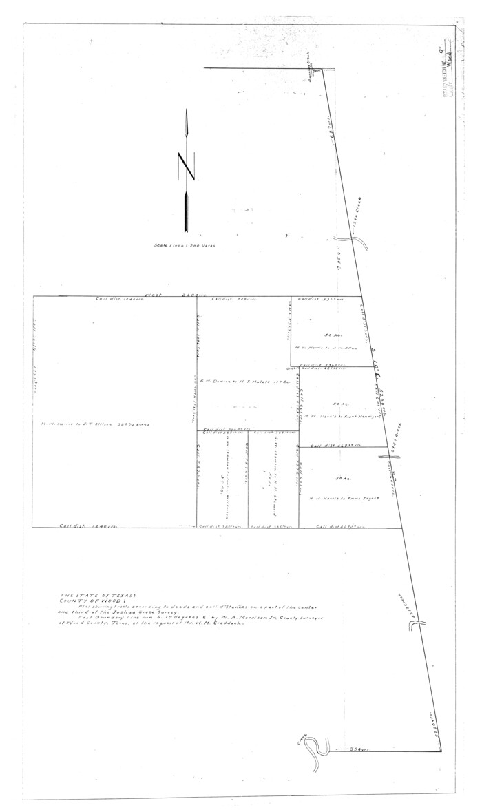
Wood County Rolled Sketch 9

Print $20.00
- Digital $50.00
Wood County Rolled Sketch 9
Size 30.6 x 18.1 inches
Map/Doc 8287
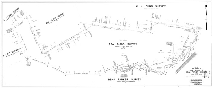
Shelby County Rolled Sketch 15

Print $40.00
- Digital $50.00
Shelby County Rolled Sketch 15
1948
Size 22.5 x 53.9 inches
Map/Doc 9924
Sutton County Sketch File 58
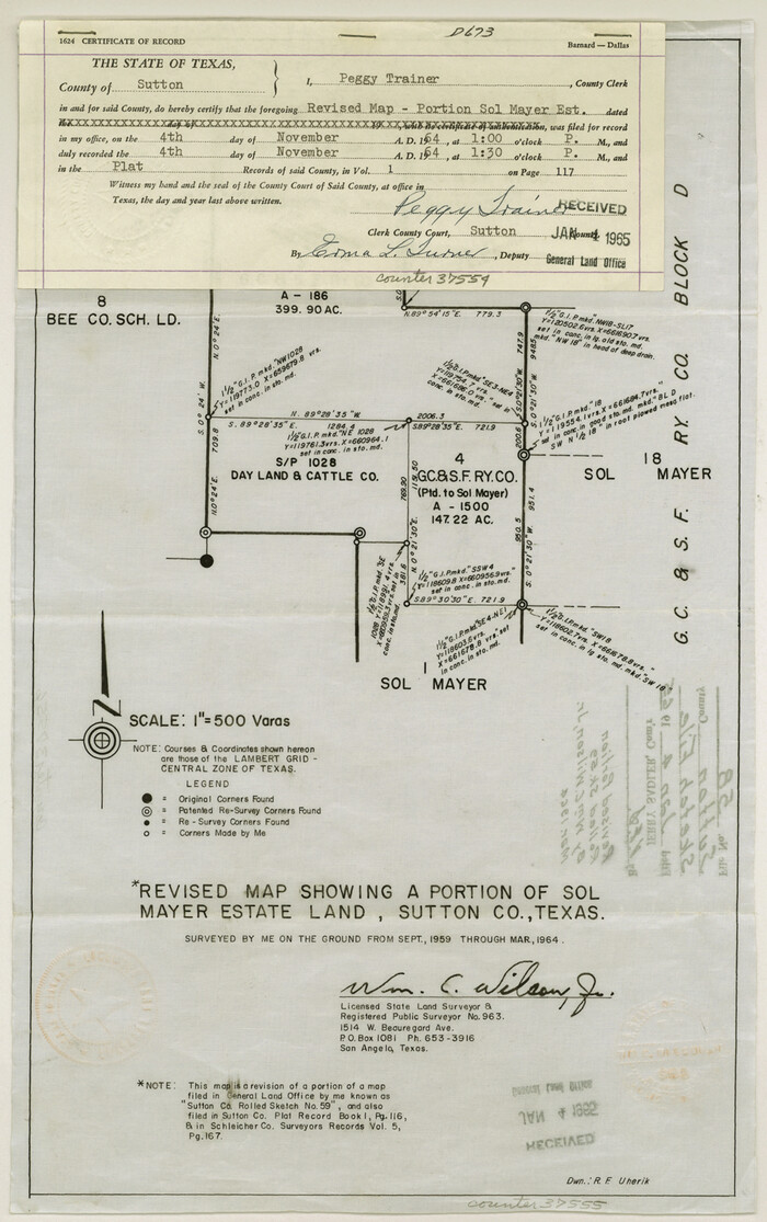

Print $9.00
- Digital $50.00
Sutton County Sketch File 58
1964
Size 15.7 x 9.9 inches
Map/Doc 37554
Brazos River, Millican Sheet


Print $6.00
- Digital $50.00
Brazos River, Millican Sheet
1936
Size 30.1 x 31.6 inches
Map/Doc 65278
Carson County Boundary File 5b
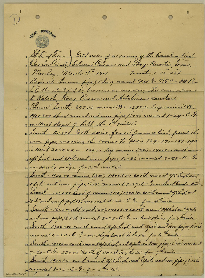

Print $10.00
- Digital $50.00
Carson County Boundary File 5b
Size 11.7 x 8.6 inches
Map/Doc 51141
Presidio County Sketch File 101
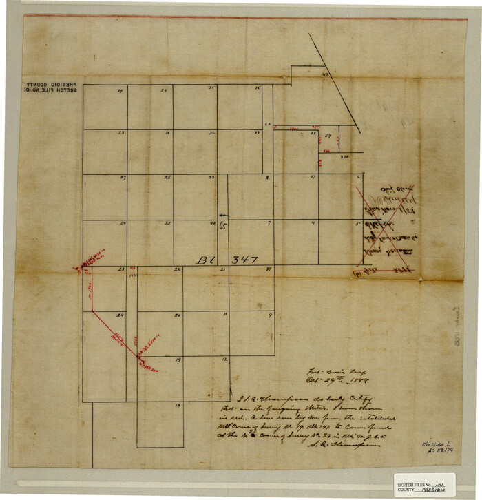

Print $20.00
- Digital $50.00
Presidio County Sketch File 101
1888
Size 21.1 x 20.3 inches
Map/Doc 11725
Bexar County Sketch File 58


Print $4.00
- Digital $50.00
Bexar County Sketch File 58
1847
Size 10.4 x 8.3 inches
Map/Doc 14572
Crockett County Rolled Sketch 71


Print $40.00
- Digital $50.00
Crockett County Rolled Sketch 71
1949
Size 54.5 x 38.9 inches
Map/Doc 8722
Duval County Rolled Sketch Pressly No. 1A
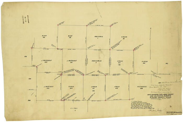

Print $20.00
- Digital $50.00
Duval County Rolled Sketch Pressly No. 1A
1935
Size 25.4 x 37.6 inches
Map/Doc 5769


