222 results

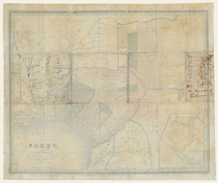
Connected Map of DeWitt's Colony compiled from the surveys of Byrd Lockhart
1942.tif
Print $40.00 - Digital $50.00

Connected Map of DeWitt's Colony compiled from the surveys of Byrd Lockhart

Size: 39.2 x 54.0 inches
1942
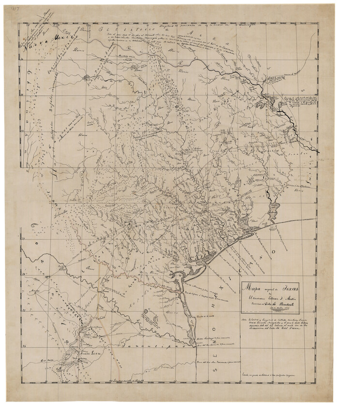
Mapa Original de Texas por El Ciudadano Estevan F. Austin Presentado al Exmo. Sr. Presidente por su autor 1829
2106-GC.tif
Print $20.00 - Digital $50.00

Mapa Original de Texas por El Ciudadano Estevan F. Austin Presentado al Exmo. Sr. Presidente por su autor 1829

1830
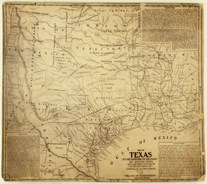
Size: 32.3 x 25.3 inches
2106
Map of Texas Before Admission to the Union and Adjoining State with Northern Portions of the Mexican States of Coahulia & Chihuahua
2107-1.tif
Print $20.00 - Digital $50.00

Map of Texas Before Admission to the Union and Adjoining State with Northern Portions of the Mexican States of Coahulia & Chihuahua

1834
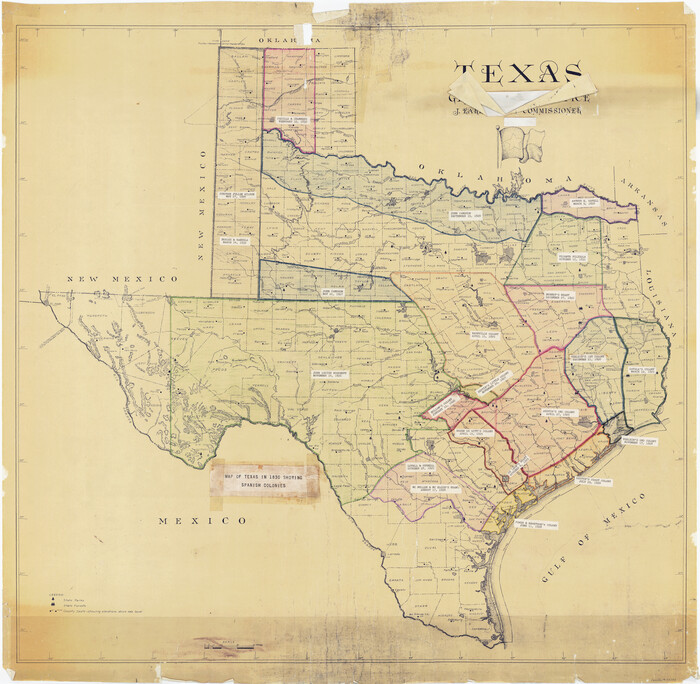
Size: 18.8 x 21.2 inches
2107
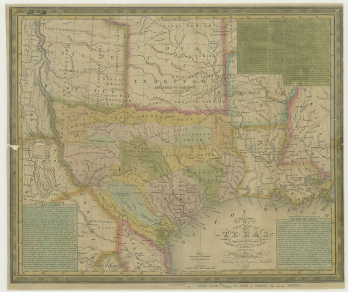
Map of Texas in 1830 Showing Spanish Colonies
73588.tif
Print $20.00 - Digital $50.00

Map of Texas in 1830 Showing Spanish Colonies

Size: 41.1 x 42.0 inches
73588
A New Map of Texas with the Contiguous American & Mexican States
76185.tif
Print $20.00

A New Map of Texas with the Contiguous American & Mexican States

1835

Size: 13.5 x 16.1 inches
76185
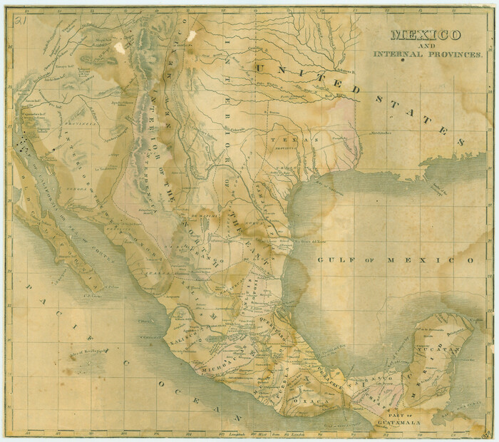
Mexico and Internal Provinces
76189.tif
Print $20.00

Mexico and Internal Provinces

1822

Size: 17.8 x 22.5 inches
76189
Mapa Original de Texas por El Ciudadano Estevan F. Austin Presentado al Exmo. Sr. Presidente por su autor 1829
76201-1.tif
Print $20.00

Mapa Original de Texas por El Ciudadano Estevan F. Austin Presentado al Exmo. Sr. Presidente por su autor 1829

1829
Size: 33.4 x 28.1 inches
76201
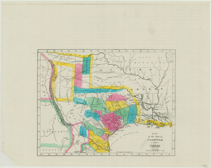
Map of the State of Coahuila and Texas
76246.tif
Print $20.00

Map of the State of Coahuila and Texas

1833
Size: 16.1 x 20.2 inches
76246
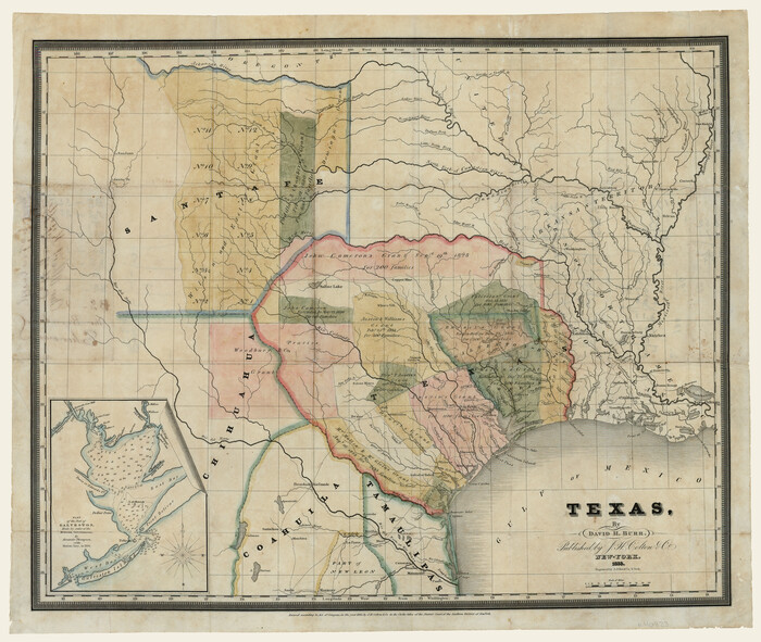
Texas
79292-1.tif
Print $20.00

Texas

1834

Size: 18.9 x 22.7 inches
79292
Mexico and Internal Provinces
79733.tif
Print $20.00

Mexico and Internal Provinces

1829

Size: 12.9 x 14.5 inches
79733
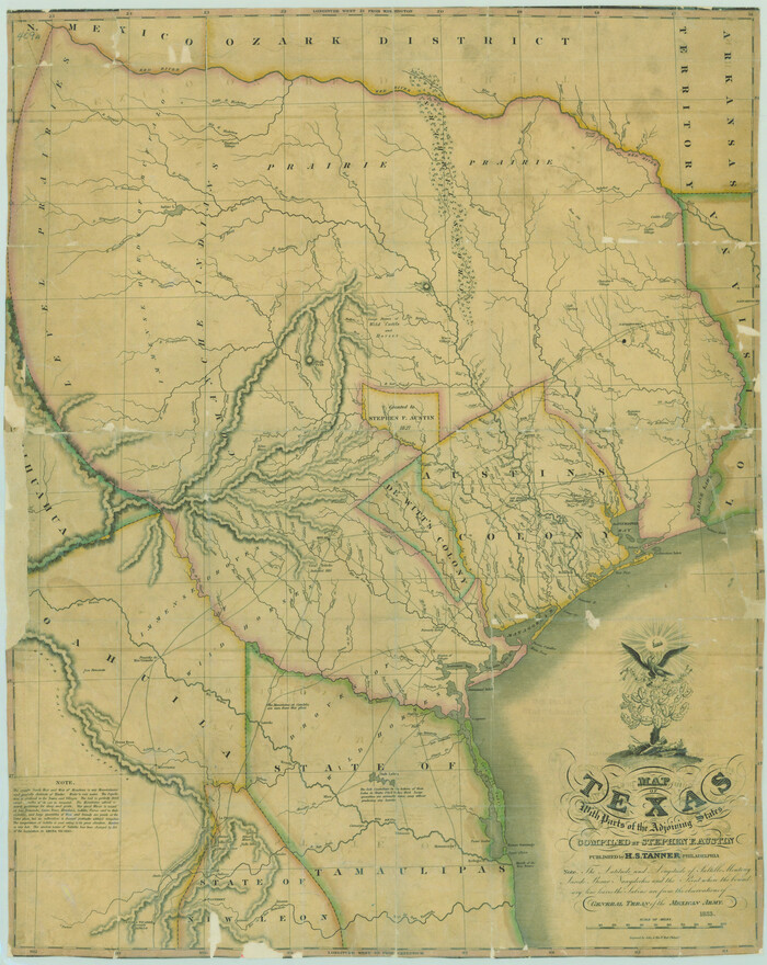
Map of Texas with Parts of the Adjoining States
79740.tif
Print $20.00

Map of Texas with Parts of the Adjoining States

1833
Size: 29.3 x 23.3 inches
79740
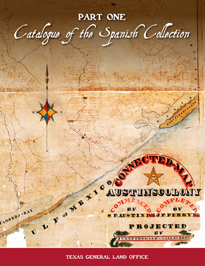
Catalogue of the Spanish Collection of the Texas General Land Office
83386.jpg
Price $15.00

Catalogue of the Spanish Collection of the Texas General Land Office

2003
Size: 10.8 x 8.5 inches
83386
Catalogue of the Spanish Collection of the Texas General Land Office
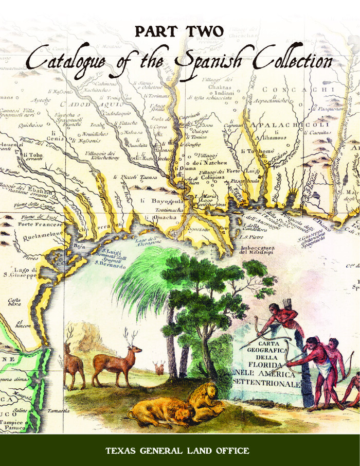
 Catalogue of The Spanish Collection of The Texas General Land Office (Part 2)
Digital $15.00

Catalogue of the Spanish Collection of the Texas General Land Office

2003

Size: 10.8 x 8.5 inches
83387
New Guide to Spanish and Mexican Land Grants in South Texas
83388.tif
Price $15.00

New Guide to Spanish and Mexican Land Grants in South Texas

2009

Size: 11.0 x 8.5 inches
83388
New Map of Texas with the Contiguous American and Mexican States
88894.tif
Print $20.00

New Map of Texas with the Contiguous American and Mexican States

1835
Size: 13.3 x 15.9 inches
88894
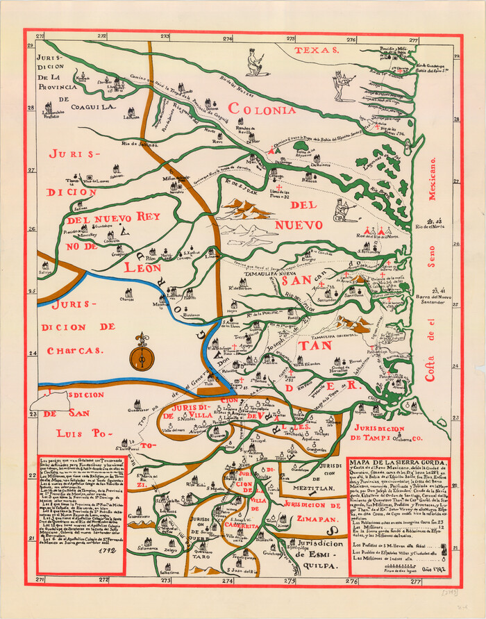
Mapa de la Sierra Gorda y costa del Seno Mexicano desde la ciudad de Querétaro hasta la Bahía del Espíritu Santo, sus rios, ensenadas y provincias pacificadas por Don José de Escandón
89047.tif
Print $20.00

Mapa de la Sierra Gorda y costa del Seno Mexicano desde la ciudad de Querétaro hasta la Bahía del Espíritu Santo, sus rios, ensenadas y provincias pacificadas por Don José de Escandón

1792
Size: 21.4 x 16.8 inches
89047
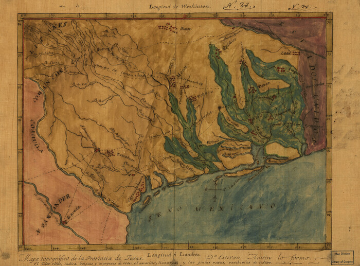
Mapa topográfico de la provincia de Texas
89228.tif
Print $20.00

Mapa topográfico de la provincia de Texas

1822

Size: 10.2 x 13.9 inches
89228
Colonial Texas. 1822 to 1834.
93410-1.tif
Print $20.00 - Digital $50.00

Colonial Texas. 1822 to 1834.

1897

Size: 12.8 x 16.3 inches
93410
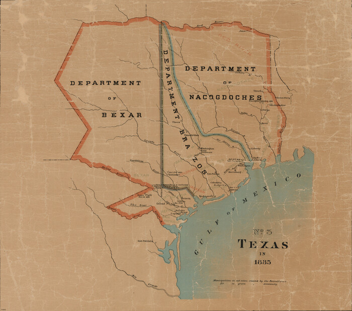
Texas in 1835
93414-1.tif
Print $20.00 - Digital $50.00

Texas in 1835

1897

Size: 13.4 x 15.3 inches
93414
Provincias internas del reyno de Nuevo España
93578.tif
Print $20.00

Provincias internas del reyno de Nuevo España

1846
Size: 30.7 x 23.6 inches
93578
The Land Grants of Texas
93698, The Land Grants of Texas, General Map Collection
Print $20.00

The Land Grants of Texas

2014

Size: 28.0 x 36.2 inches
93698
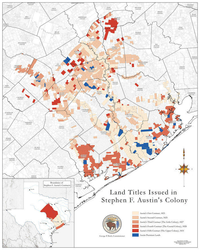
Land Titles Issued in Stephen F. Austin's Colony
93754, Land Titles Issued in Stephen F. Austin's Colony, General Map Collection
Print $20.00

Land Titles Issued in Stephen F. Austin's Colony

2015
Size: 30.0 x 24.0 inches
93754
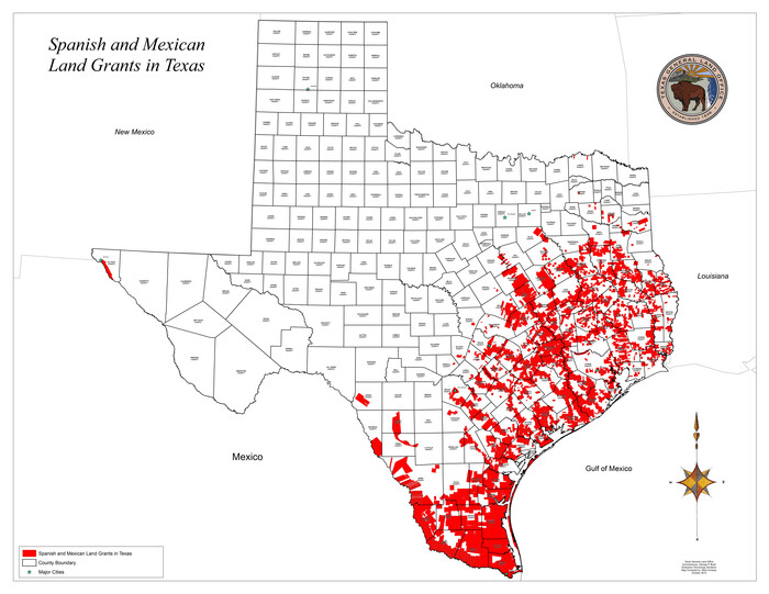
Spanish and Mexican Land Grants in Texas
93755, Spanish and Mexican Land Grants in Texas, General Map Collection
Print $20.00

Spanish and Mexican Land Grants in Texas

2015
Size: 34.0 x 44.0 inches
93755
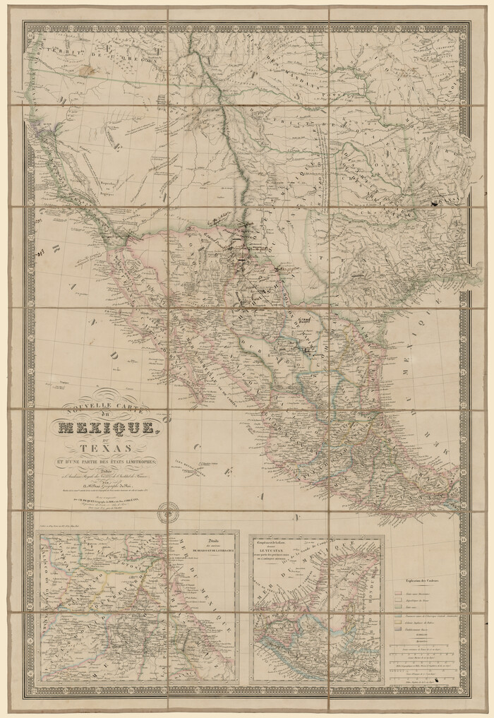
Nouvelle carte du Mexique, du Texas et d'une partie des États Limitrophes
93764.tif
Print $20.00 - Digital $50.00

Nouvelle carte du Mexique, du Texas et d'une partie des États Limitrophes

1834

Size: 39.5 x 27.2 inches
93764
Texas
93836-1.tif
Print $20.00 - Digital $50.00

Texas

1833

Size: 19.2 x 22.7 inches
93836
Texas (verso)
93837.tif
Print $20.00 - Digital $50.00

Texas (verso)

1833

Size: 19.1 x 22.8 inches
93837
Map of the State of Coahuila and Texas
93848.tif
Print $20.00 - Digital $50.00

Map of the State of Coahuila and Texas

1834

Size: 13.2 x 14.7 inches
93848
A Visit to Texas: Being The Journal of a Traveler Through Those Parts Most Interesting to American Settlers. With Descriptions of Scenery, Habits, & c. &c.
93849, A Visit to Texas: Being The Journal of a Traveler Through Those Parts Most Interesting to American Settlers. With Descriptions of Scenery, Habits, & c. &c., Holcomb Digital Map Collection
Print $560.00 - Digital $50.00

A Visit to Texas: Being The Journal of a Traveler Through Those Parts Most Interesting to American Settlers. With Descriptions of Scenery, Habits, & c. &c.

1834
Size: 8.0 x 5.2 inches
93849
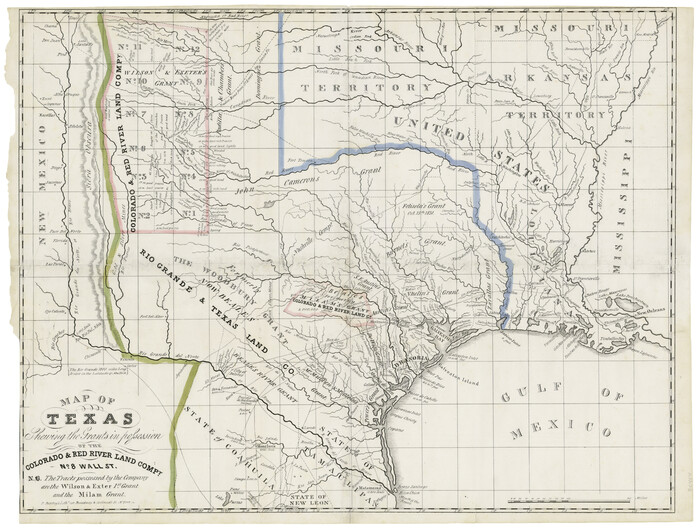
Map of Texas shewing the grants in possession of the Colorado & Red River Land Compy
93850.tif
Print $20.00 - Digital $50.00

Map of Texas shewing the grants in possession of the Colorado & Red River Land Compy

1835
Size: 20.3 x 26.9 inches
93850
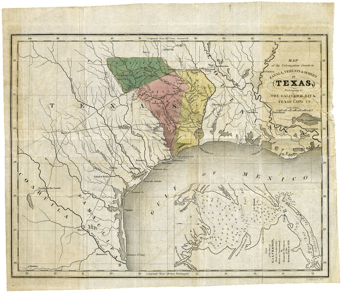
Map of the Colonization Grants to Zavala, Vehlein & Burnet in Texas, belonging to the Galveston Bay & Texas Land Co.
93851.tif
Print $20.00 - Digital $50.00

Map of the Colonization Grants to Zavala, Vehlein & Burnet in Texas, belonging to the Galveston Bay & Texas Land Co.

1835

Size: 10.7 x 12.7 inches
93851
Connected Map of DeWitt's Colony compiled from the surveys of Byrd Lockhart
1942, Connected Map of DeWitt's Colony compiled from the surveys of Byrd Lockhart, General Map Collection
Print $40.00 - Digital $50.00

Connected Map of DeWitt's Colony compiled from the surveys of Byrd Lockhart

  • Size

    39.2 x 54.0 inches

  • Map/Doc

    1942

Mapa Original de Texas por El Ciudadano Estevan F. Austin Presentado al Exmo. Sr. Presidente por su autor 1829
2106, Mapa Original de Texas por El Ciudadano Estevan F. Austin Presentado al Exmo. Sr. Presidente por su autor 1829, General Map Collection
Print $20.00 - Digital $50.00

Mapa Original de Texas por El Ciudadano Estevan F. Austin Presentado al Exmo. Sr. Presidente por su autor 1829

1830

  • Size

    32.3 x 25.3 inches

  • Map/Doc

    2106

  • Creation Date

    1830

Map of Texas Before Admission to the Union and Adjoining State with Northern Portions of the Mexican States of Coahulia & Chihuahua
2107, Map of Texas Before Admission to the Union and Adjoining State with Northern Portions of the Mexican States of Coahulia & Chihuahua, General Map Collection
Print $20.00 - Digital $50.00

Map of Texas Before Admission to the Union and Adjoining State with Northern Portions of the Mexican States of Coahulia & Chihuahua

1834

  • Size

    18.8 x 21.2 inches

  • Map/Doc

    2107

  • Creation Date

    1834

Map of Texas in 1830 Showing Spanish Colonies
73588, Map of Texas in 1830 Showing Spanish Colonies, General Map Collection
Print $20.00 - Digital $50.00

Map of Texas in 1830 Showing Spanish Colonies

  • Size

    41.1 x 42.0 inches

  • Map/Doc

    73588

A New Map of Texas with the Contiguous American & Mexican States
76185, A New Map of Texas with the Contiguous American & Mexican States, Texas State Library and Archives
Print $20.00

A New Map of Texas with the Contiguous American & Mexican States

1835

  • Size

    13.5 x 16.1 inches

  • Map/Doc

    76185

  • Creation Date

    1835

Mexico and Internal Provinces
76189, Mexico and Internal Provinces, Texas State Library and Archives
Print $20.00

Mexico and Internal Provinces

1822

  • Size

    17.8 x 22.5 inches

  • Map/Doc

    76189

  • Creation Date

    1822

Mapa Original de Texas por El Ciudadano Estevan F. Austin Presentado al Exmo. Sr. Presidente por su autor 1829
76201, Mapa Original de Texas por El Ciudadano Estevan F. Austin Presentado al Exmo. Sr. Presidente por su autor 1829, Texas State Library and Archives
Print $20.00

Mapa Original de Texas por El Ciudadano Estevan F. Austin Presentado al Exmo. Sr. Presidente por su autor 1829

1829

  • Size

    33.4 x 28.1 inches

  • Map/Doc

    76201

  • Creation Date

    1829

Map of the State of Coahuila and Texas
76246, Map of the State of Coahuila and Texas, Texas State Library and Archives
Print $20.00

Map of the State of Coahuila and Texas

1833

  • Size

    16.1 x 20.2 inches

  • Map/Doc

    76246

  • Creation Date

    1833

Texas
79292, Texas, Texas State Library and Archives
Print $20.00

Texas

1834

  • Size

    18.9 x 22.7 inches

  • Map/Doc

    79292

  • Creation Date

    1834

Mexico and Internal Provinces
79733, Mexico and Internal Provinces, Texas State Library and Archives
Print $20.00

Mexico and Internal Provinces

1829

  • Size

    12.9 x 14.5 inches

  • Map/Doc

    79733

  • Creation Date

    1829

Map of Texas with Parts of the Adjoining States
79740, Map of Texas with Parts of the Adjoining States, Texas State Library and Archives
Print $20.00

Map of Texas with Parts of the Adjoining States

1833

  • Size

    29.3 x 23.3 inches

  • Map/Doc

    79740

  • Creation Date

    1833

Catalogue of the Spanish Collection of the Texas General Land Office
83386, Catalogue of The Spanish Collection of The Texas General Land Office, General Map Collection
Print $15.00

Catalogue of the Spanish Collection of the Texas General Land Office

2003

This catalogue covers the Spanish and Mexican land grants issued north of the Nueces River in what...

  • Size

    10.8 x 8.5 inches

  • Map/Doc

    83386

  • Creation Date

    2003

Catalogue of the Spanish Collection of the Texas General Land Office
 Catalogue of The Spanish Collection of The Texas General Land Office (Part 2)
Digital $15.00

Catalogue of the Spanish Collection of the Texas General Land Office

2003

This catalogue describes the official documents such as correspondence, decrees, appointments, and...

  • Size

    10.8 x 8.5 inches

  • Map/Doc

    83387

  • Creation Date

    2003

New Guide to Spanish and Mexican Land Grants in South Texas
83388, New Guide to Spanish and Mexican Land Grants in South Texas, General Map Collection
Print $15.00

New Guide to Spanish and Mexican Land Grants in South Texas

2009

Featuring 363 expanded entries about Spanish and Mexican land grants in South Texas, this work is...

  • Size

    11.0 x 8.5 inches

  • Map/Doc

    83388

  • Creation Date

    2009

New Map of Texas with the Contiguous American and Mexican States
88894, New Map of Texas with the Contiguous American and Mexican States, Library of Congress
Print $20.00

New Map of Texas with the Contiguous American and Mexican States

1835

  • Size

    13.3 x 15.9 inches

  • Map/Doc

    88894

  • Creation Date

    1835

Mapa de la Sierra Gorda y costa del Seno Mexicano desde la ciudad de Querétaro hasta la Bahía del Espíritu Santo, sus rios, ensenadas y provincias pacificadas por Don José de Escandón
89047, Mapa de la Sierra Gorda y costa del Seno Mexicano desde la ciudad de Querétaro hasta la Bahía del Espíritu Santo, sus rios, ensenadas y provincias pacificadas por Don José de Escandón, Texas State Library and Archives
Print $20.00

Mapa de la Sierra Gorda y costa del Seno Mexicano desde la ciudad de Querétaro hasta la Bahía del Espíritu Santo, sus rios, ensenadas y provincias pacificadas por Don José de Escandón

1792

  • Size

    21.4 x 16.8 inches

  • Map/Doc

    89047

  • Creation Date

    1792

Mapa topográfico de la provincia de Texas
89228, Mapa topográfico de la provincia de Texas, Library of Congress
Print $20.00

Mapa topográfico de la provincia de Texas

1822

  • Size

    10.2 x 13.9 inches

  • Map/Doc

    89228

  • Creation Date

    1822

Colonial Texas. 1822 to 1834.
93410, Colonial Texas. 1822 to 1834., General Map Collection
Print $20.00 - Digital $50.00

Colonial Texas. 1822 to 1834.

1897

  • Size

    12.8 x 16.3 inches

  • Map/Doc

    93410

  • Creation Date

    1897

Texas in 1835
93414, Texas in 1835, General Map Collection
Print $20.00 - Digital $50.00

Texas in 1835

1897

  • Size

    13.4 x 15.3 inches

  • Map/Doc

    93414

  • Creation Date

    1897

Provincias internas del reyno de Nuevo España
93578, Provincias internas del reyno de Nuevo España, Library of Congress
Print $20.00

Provincias internas del reyno de Nuevo España

1846

  • Size

    30.7 x 23.6 inches

  • Map/Doc

    93578

  • Creation Date

    1846

The Land Grants of Texas
93698, The Land Grants of Texas, General Map Collection
Print $20.00

The Land Grants of Texas

2014

  • Size

    28.0 x 36.2 inches

  • Map/Doc

    93698

  • Creation Date

    2014

Land Titles Issued in Stephen F. Austin's Colony
93754, Land Titles Issued in Stephen F. Austin's Colony, General Map Collection
Print $20.00

Land Titles Issued in Stephen F. Austin's Colony

2015

  • Size

    30.0 x 24.0 inches

  • Map/Doc

    93754

  • Creation Date

    2015

Spanish and Mexican Land Grants in Texas
93755, Spanish and Mexican Land Grants in Texas, General Map Collection
Print $20.00

Spanish and Mexican Land Grants in Texas

2015

  • Size

    34.0 x 44.0 inches

  • Map/Doc

    93755

  • Creation Date

    2015

Nouvelle carte du Mexique, du Texas et d'une partie des États Limitrophes
93764, Nouvelle carte du Mexique, du Texas et d'une partie des États Limitrophes, Rees-Jones Digital Map Collection
Print $20.00 - Digital $50.00

Nouvelle carte du Mexique, du Texas et d'une partie des États Limitrophes

1834

  • Size

    39.5 x 27.2 inches

  • Map/Doc

    93764

  • Creation Date

    1834

Texas
93836, Texas, Holcomb Digital Map Collection
Print $20.00 - Digital $50.00

Texas

1833

  • Size

    19.2 x 22.7 inches

  • Map/Doc

    93836

  • Creation Date

    1833

Texas (verso)
93837, Texas (verso), Holcomb Digital Map Collection
Print $20.00 - Digital $50.00

Texas (verso)

1833

  • Size

    19.1 x 22.8 inches

  • Map/Doc

    93837

  • Creation Date

    1833

Map of the State of Coahuila and Texas
93848, Map of the State of Coahuila and Texas, Holcomb Digital Map Collection
Print $20.00 - Digital $50.00

Map of the State of Coahuila and Texas

1834

  • Size

    13.2 x 14.7 inches

  • Map/Doc

    93848

  • Creation Date

    1834

A Visit to Texas: Being The Journal of a Traveler Through Those Parts Most Interesting to American Settlers. With Descriptions of Scenery, Habits, & c. &c.
93849, A Visit to Texas: Being The Journal of a Traveler Through Those Parts Most Interesting to American Settlers. With Descriptions of Scenery, Habits, & c. &c., Holcomb Digital Map Collection
Print $560.00 - Digital $50.00

A Visit to Texas: Being The Journal of a Traveler Through Those Parts Most Interesting to American Settlers. With Descriptions of Scenery, Habits, & c. &c.

1834

  • Size

    8.0 x 5.2 inches

  • Map/Doc

    93849

  • Creation Date

    1834

Map of Texas shewing the grants in possession of the Colorado & Red River Land Compy
93850, Map of Texas shewing the grants in possession of the Colorado & Red River Land Compy, Holcomb Digital Map Collection
Print $20.00 - Digital $50.00

Map of Texas shewing the grants in possession of the Colorado & Red River Land Compy

1835

  • Size

    20.3 x 26.9 inches

  • Map/Doc

    93850

  • Creation Date

    1835

Map of the Colonization Grants to Zavala, Vehlein & Burnet in Texas, belonging to the Galveston Bay & Texas Land Co.
93851, Map of the Colonization Grants to Zavala, Vehlein & Burnet in Texas, belonging to the Galveston Bay & Texas Land Co., Holcomb Digital Map Collection
Print $20.00 - Digital $50.00

Map of the Colonization Grants to Zavala, Vehlein & Burnet in Texas, belonging to the Galveston Bay & Texas Land Co.

1835

  • Size

    10.7 x 12.7 inches

  • Map/Doc

    93851

  • Creation Date

    1835