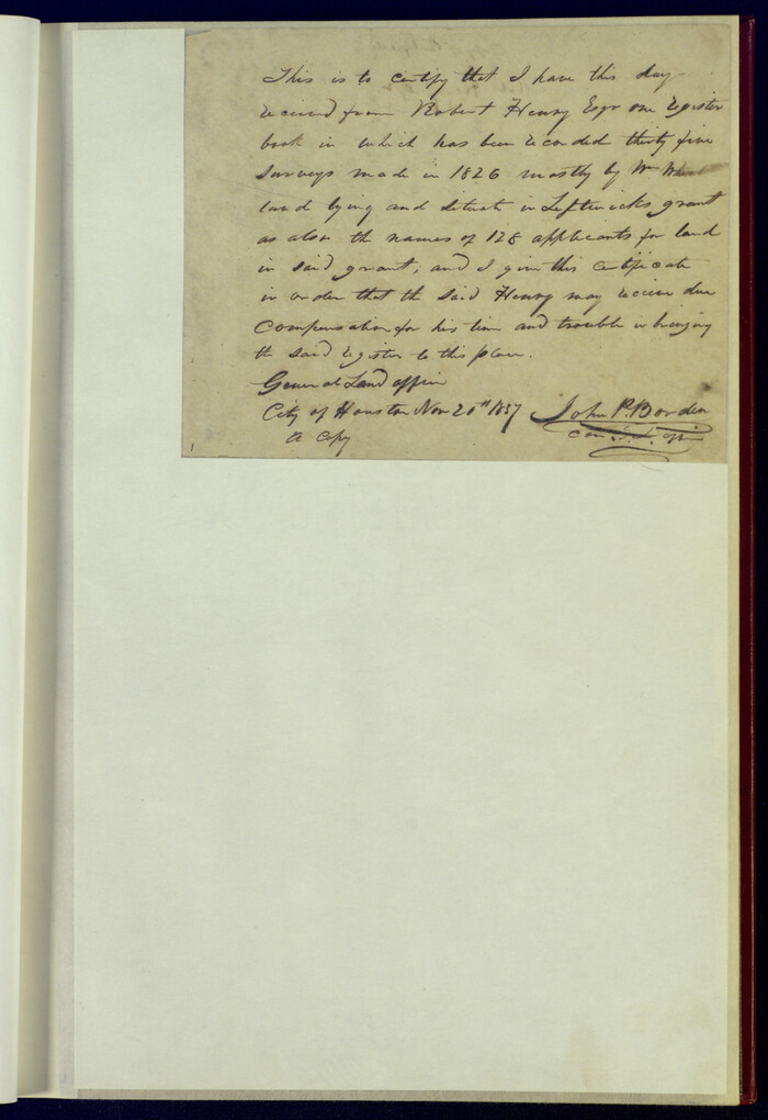
Political Chief of Nacogdoches Correspondence with Various People (PCCVP)
Abstracts of letters sent by the political chief to various people, including state and federal officials, land commissioners, and empresarios (Sept. 1834-October 1835).
-
Map/Doc
94264
-
Collection
Historical Volumes
-
Subjects
Bound Volume Mexican Texas
-
Height x Width
12.5 x 9.0 inches
31.8 x 22.9 cm
-
Medium
paper, bound volume
-
Comments
The office of the jefe politico (or political chief) of Nacogdoches kept a daily log of abstracted correspondence with various external actors to avoid the tedious work of making complete copies of each letter sent. The copy books contain short descriptions of letters sent by the political chief, and they are arranged by date and organized into three separate books of which this is one volume. A full description of the contents of the copy books is available in the Catalogue of the Spanish Collection, Part 2, pp. 147-178.
Related maps
Correspondence between the Political Chief of Nacogdoches and the Ayuntamiento (CPCNA)
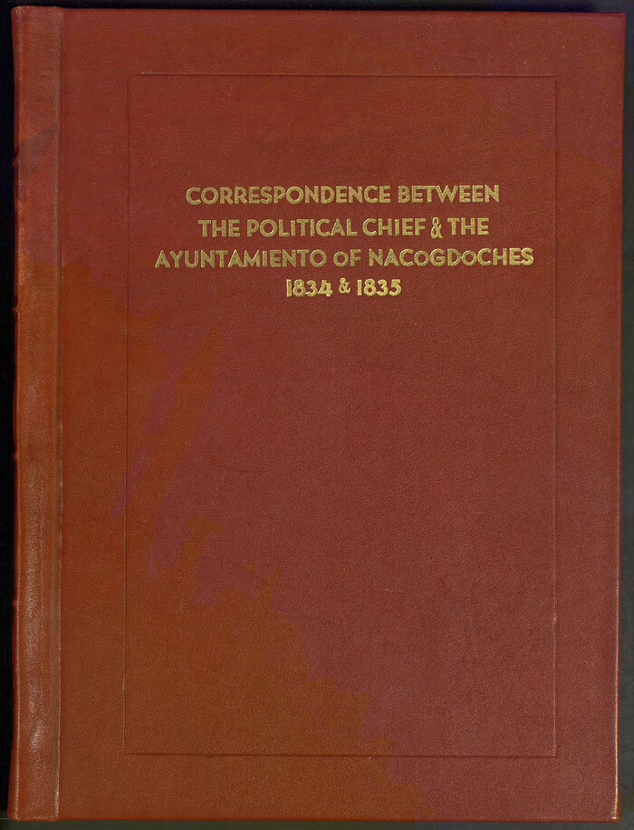

Correspondence between the Political Chief of Nacogdoches and the Ayuntamiento (CPCNA)
Size 12.7 x 9.7 inches
Map/Doc 94263
Political Chief of Nacogdoches to Secretary of the State Government (PCNSS)


Political Chief of Nacogdoches to Secretary of the State Government (PCNSS)
Size 12.7 x 9.5 inches
Map/Doc 94265
Part of: Historical Volumes
Index to Titles, Field Notes, and Plats in the Spanish Archives


Index to Titles, Field Notes, and Plats in the Spanish Archives
1942
Size 17.5 x 10.1 inches
Map/Doc 94524
Record of Spanish Titles, Vol. III


Record of Spanish Titles, Vol. III
1845
Size 18.2 x 11.9 inches
Map/Doc 94528
Record of Translations of Empresario Contracts (RTEC)

Record of Translations of Empresario Contracts (RTEC)
Size 17.0 x 13.6 inches
Map/Doc 94266
Index to Field Notes, Plats: Spanish Archives


Index to Field Notes, Plats: Spanish Archives
1981
Map/Doc 94531
Translations of Titles - Austin's Second Contract, Vol. 3


Translations of Titles - Austin's Second Contract, Vol. 3
1841
Map/Doc 94548
English Field Notes of the Spanish Archives - Book 1


English Field Notes of the Spanish Archives - Book 1
1833
Map/Doc 96527
Reference Book of Burnet's, [Vehlein's] & Zavala's Colonies
![94554, Reference Book of Burnet's, [Vehlein's] & Zavala's Colonies, Historical Volumes](https://historictexasmaps.com/wmedia_w700/pdf_converted_jpg/qi_pdf_thumbnail_39143.jpg)
![94554, Reference Book of Burnet's, [Vehlein's] & Zavala's Colonies, Historical Volumes](https://historictexasmaps.com/wmedia_w700/pdf_converted_jpg/qi_pdf_thumbnail_39143.jpg)
Reference Book of Burnet's, [Vehlein's] & Zavala's Colonies
Map/Doc 94554
English Field Notes of the Spanish Archives - Book 7


English Field Notes of the Spanish Archives - Book 7
1835
Map/Doc 96533
Index to Titles, Field, Notes, and Plats, A-Z


Index to Titles, Field, Notes, and Plats, A-Z
Size 17.0 x 12.1 inches
Map/Doc 94525
Deputy Surveyors Field Note Book, San Patricio County


Deputy Surveyors Field Note Book, San Patricio County
1838
Map/Doc 96675
You may also like
Webb County Rolled Sketch 12
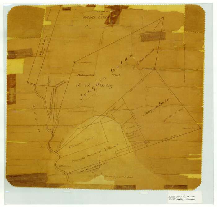

Print $20.00
- Digital $50.00
Webb County Rolled Sketch 12
Size 17.6 x 18.5 inches
Map/Doc 8176
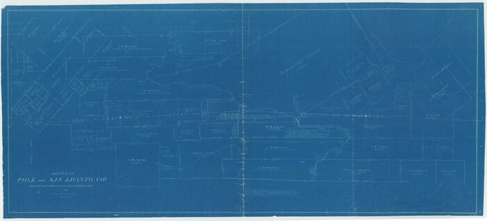
Polk County Working Sketch 3

Print $40.00
- Digital $50.00
Polk County Working Sketch 3
1911
Size 25.4 x 56.0 inches
Map/Doc 71618
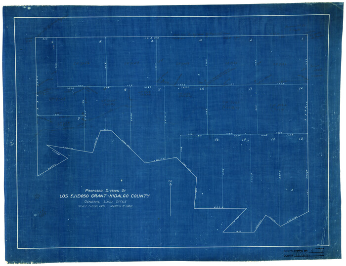
Hidalgo County Rolled Sketch 8

Print $20.00
- Digital $50.00
Hidalgo County Rolled Sketch 8
1905
Size 20.1 x 26.3 inches
Map/Doc 6209
Fayette County Sketch File 5

Print $4.00
- Digital $50.00
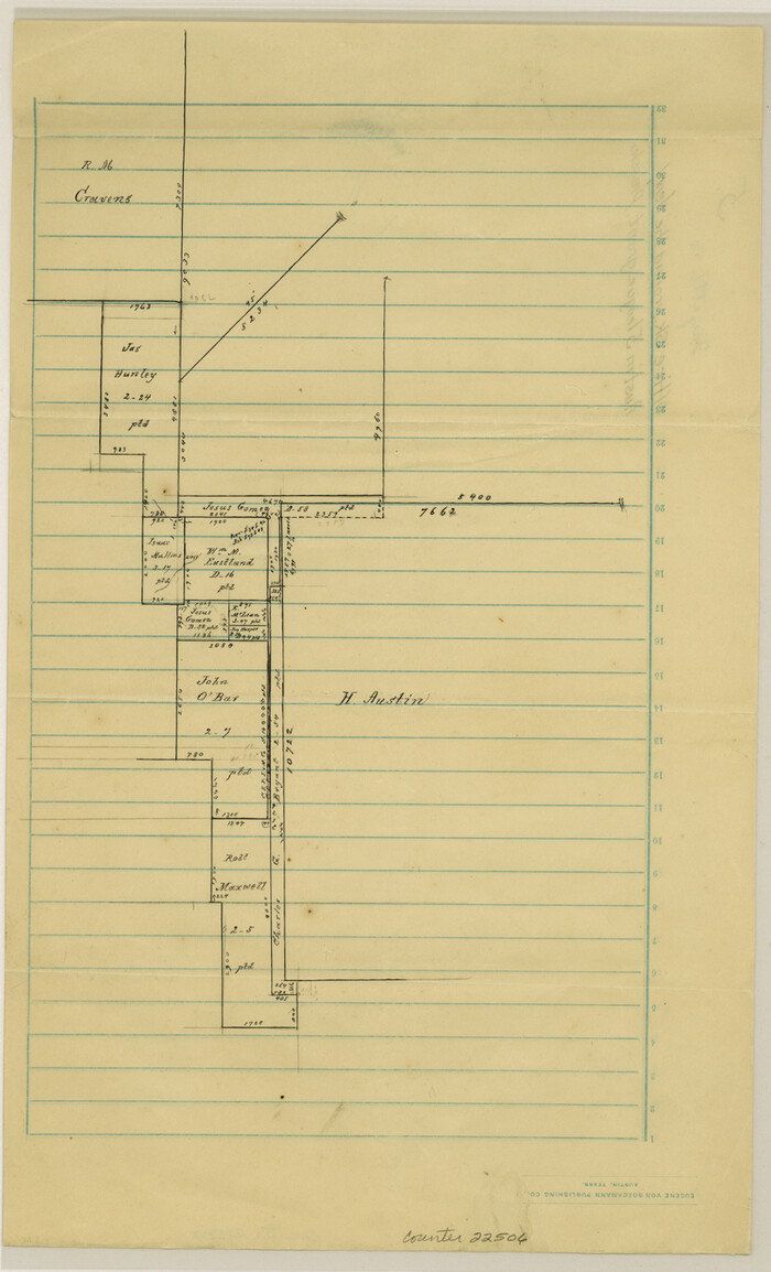
Fayette County Sketch File 5
Size 14.3 x 8.7 inches
Map/Doc 22506
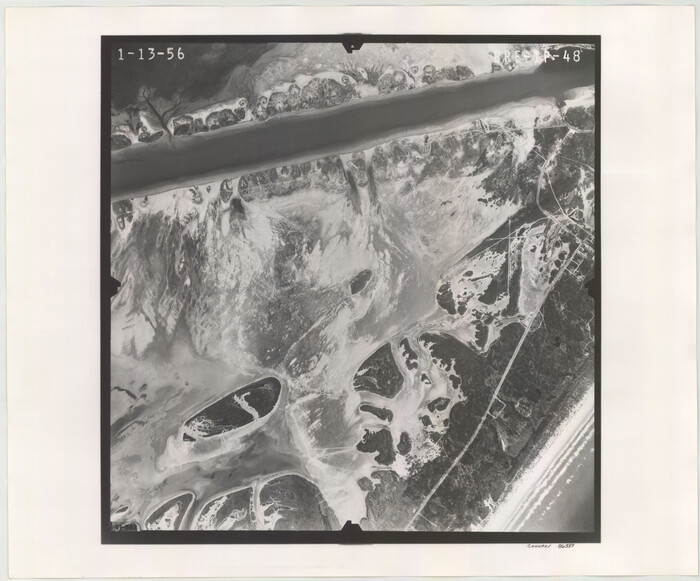
Flight Mission No. BRE-1P, Frame 48, Nueces County

Print $20.00
- Digital $50.00
Flight Mission No. BRE-1P, Frame 48, Nueces County
1956
Size 18.4 x 22.1 inches
Map/Doc 86637
Blanco County Sketch File 31a
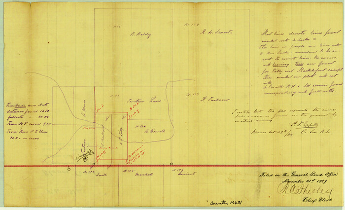

Print $4.00
- Digital $50.00
Blanco County Sketch File 31a
1889
Size 8.6 x 14.1 inches
Map/Doc 14631
Brewster County Working Sketch 60
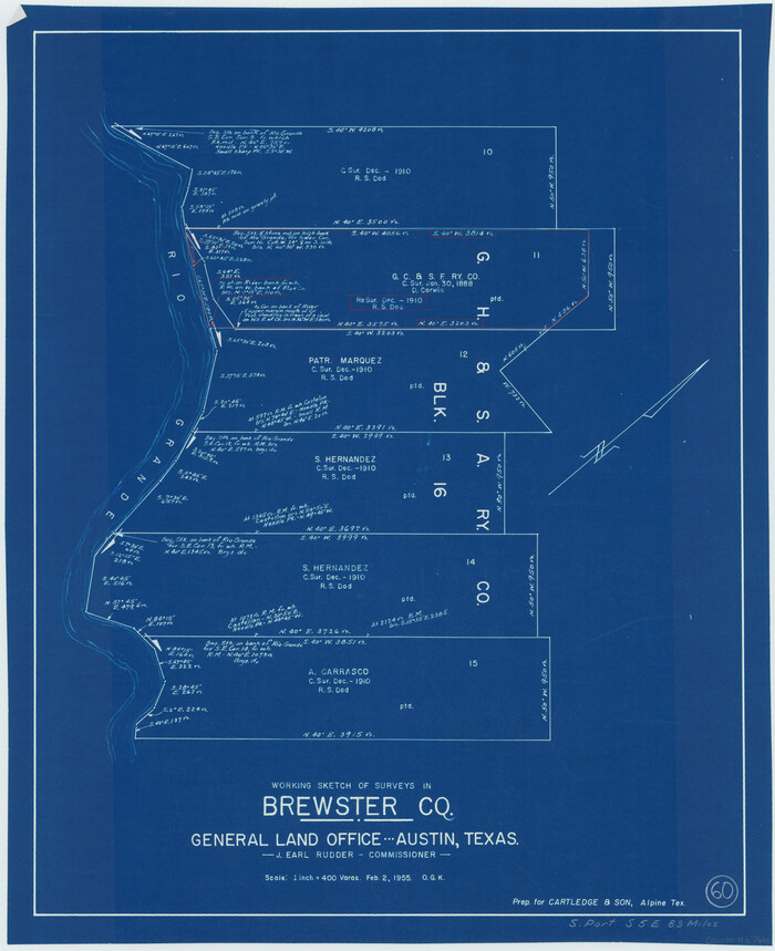

Print $20.00
- Digital $50.00
Brewster County Working Sketch 60
1955
Size 22.3 x 18.2 inches
Map/Doc 67661
Travis County Appraisal District Plat Map 2_0502
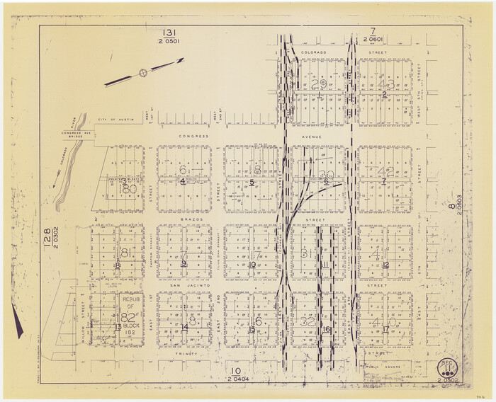

Print $20.00
- Digital $50.00
Travis County Appraisal District Plat Map 2_0502
Size 21.4 x 26.4 inches
Map/Doc 94236
Gulf of Mexico
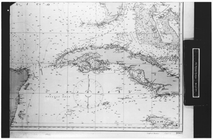

Print $20.00
- Digital $50.00
Gulf of Mexico
1908
Size 18.3 x 28.0 inches
Map/Doc 72661
The Republic County of Fannin. Created, December 14, 1837


Print $20.00
The Republic County of Fannin. Created, December 14, 1837
2020
Size 15.0 x 21.7 inches
Map/Doc 96128
Hale County Rolled Sketch 10


Print $40.00
- Digital $50.00
Hale County Rolled Sketch 10
Size 52.8 x 56.6 inches
Map/Doc 9096
Sunny San Antonio - The Winter Playground of America


Sunny San Antonio - The Winter Playground of America
1920
Size 9.4 x 7.9 inches
Map/Doc 97040


