[Northwest Portion of King County]
135-15
-
Map/Doc
90978
-
Collection
Twichell Survey Records
-
Counties
King
-
Height x Width
28.7 x 35.7 inches
72.9 x 90.7 cm
Part of: Twichell Survey Records
[C. C. Slaughter Block 1, T. T. RR. Co. Block 2]
![90622, [C. C. Slaughter Block 1, T. T. RR. Co. Block 2], Twichell Survey Records](https://historictexasmaps.com/wmedia_w700/maps/90622-1.tif.jpg)
![90622, [C. C. Slaughter Block 1, T. T. RR. Co. Block 2], Twichell Survey Records](https://historictexasmaps.com/wmedia_w700/maps/90622-1.tif.jpg)
Print $3.00
- Digital $50.00
[C. C. Slaughter Block 1, T. T. RR. Co. Block 2]
Size 10.5 x 10.8 inches
Map/Doc 90622
Replat of Baker 2nd Addition to Lamesa, Part of Southwest Quarter, Section 71, Block 35, Dawson County, Texas


Print $20.00
- Digital $50.00
Replat of Baker 2nd Addition to Lamesa, Part of Southwest Quarter, Section 71, Block 35, Dawson County, Texas
1958
Size 9.9 x 18.8 inches
Map/Doc 92633
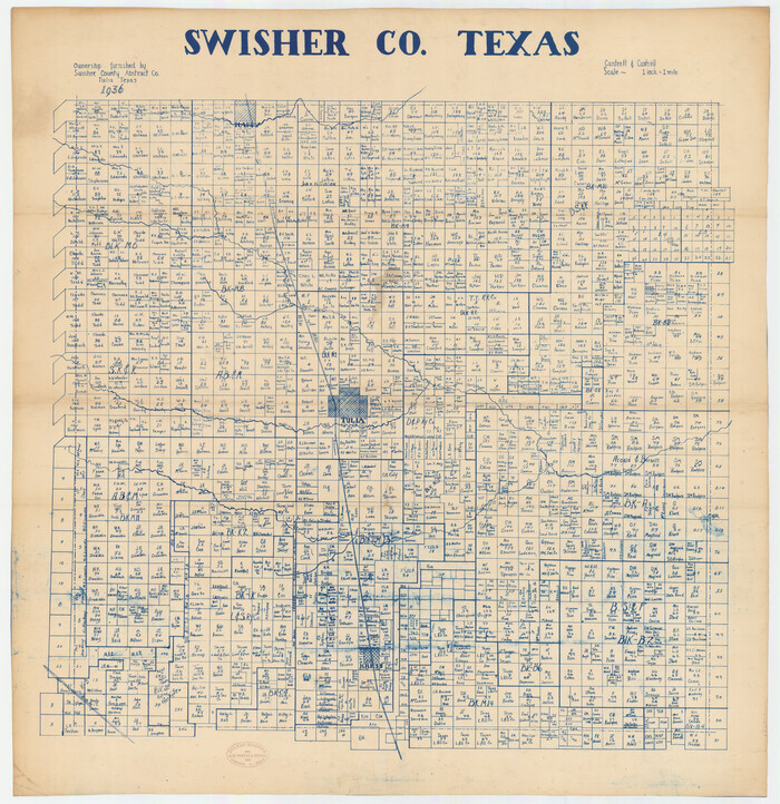
Swisher Co. Texas

Print $20.00
- Digital $50.00
Swisher Co. Texas
1936
Size 36.8 x 38.0 inches
Map/Doc 89876
Map of W. D. Johnson's Pasture


Print $20.00
- Digital $50.00
Map of W. D. Johnson's Pasture
Size 25.1 x 15.0 inches
Map/Doc 90284
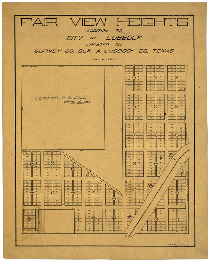
Fair View Heights Addition to City of Lubbock Located on Survey 80, Blk. A

Print $20.00
- Digital $50.00
Fair View Heights Addition to City of Lubbock Located on Survey 80, Blk. A
Size 16.8 x 21.1 inches
Map/Doc 92760
[Isaac Scott and J. Walker surveys and vicinity]
![92664, [Isaac Scott and J. Walker surveys and vicinity], Twichell Survey Records](https://historictexasmaps.com/wmedia_w700/maps/92664-1.tif.jpg)
![92664, [Isaac Scott and J. Walker surveys and vicinity], Twichell Survey Records](https://historictexasmaps.com/wmedia_w700/maps/92664-1.tif.jpg)
Print $40.00
- Digital $50.00
[Isaac Scott and J. Walker surveys and vicinity]
Size 54.0 x 29.1 inches
Map/Doc 92664
[Sutton County School Land and vicinity]
![92477, [Sutton County School Land and vicinity], Twichell Survey Records](https://historictexasmaps.com/wmedia_w700/maps/92477-1.tif.jpg)
![92477, [Sutton County School Land and vicinity], Twichell Survey Records](https://historictexasmaps.com/wmedia_w700/maps/92477-1.tif.jpg)
Print $20.00
- Digital $50.00
[Sutton County School Land and vicinity]
Size 21.0 x 34.3 inches
Map/Doc 92477
[Capitol Leagues in Lamb County]
![91013, [Capitol Leagues in Lamb County], Twichell Survey Records](https://historictexasmaps.com/wmedia_w700/maps/91013-1.tif.jpg)
![91013, [Capitol Leagues in Lamb County], Twichell Survey Records](https://historictexasmaps.com/wmedia_w700/maps/91013-1.tif.jpg)
Print $2.00
- Digital $50.00
[Capitol Leagues in Lamb County]
1912
Size 13.1 x 8.8 inches
Map/Doc 91013
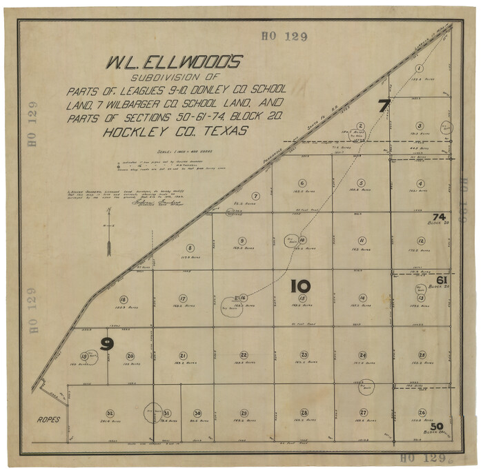
W. L. Ellwood's Subdivision of Parts of Leagues 9 and 10, Donley County School Land, 7 Wilbarger County School Land and Parts of Section 50, 61, and 74, Block 20 Hockley County, Texas

Print $20.00
- Digital $50.00
W. L. Ellwood's Subdivision of Parts of Leagues 9 and 10, Donley County School Land, 7 Wilbarger County School Land and Parts of Section 50, 61, and 74, Block 20 Hockley County, Texas
1923
Size 20.2 x 19.8 inches
Map/Doc 92249
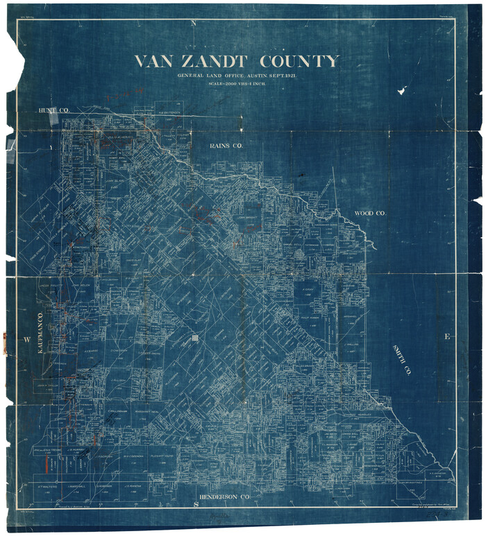
Van Zandt County

Print $40.00
- Digital $50.00
Van Zandt County
1921
Size 43.3 x 48.1 inches
Map/Doc 93124
[University Lands Blocks 16, 18, 19 and 20]
![91594, [University Lands Blocks 16, 18, 19 and 20], Twichell Survey Records](https://historictexasmaps.com/wmedia_w700/maps/91594-1.tif.jpg)
![91594, [University Lands Blocks 16, 18, 19 and 20], Twichell Survey Records](https://historictexasmaps.com/wmedia_w700/maps/91594-1.tif.jpg)
Print $20.00
- Digital $50.00
[University Lands Blocks 16, 18, 19 and 20]
Size 13.9 x 16.7 inches
Map/Doc 91594
You may also like
General Highway Map, Van Zandt County, Texas
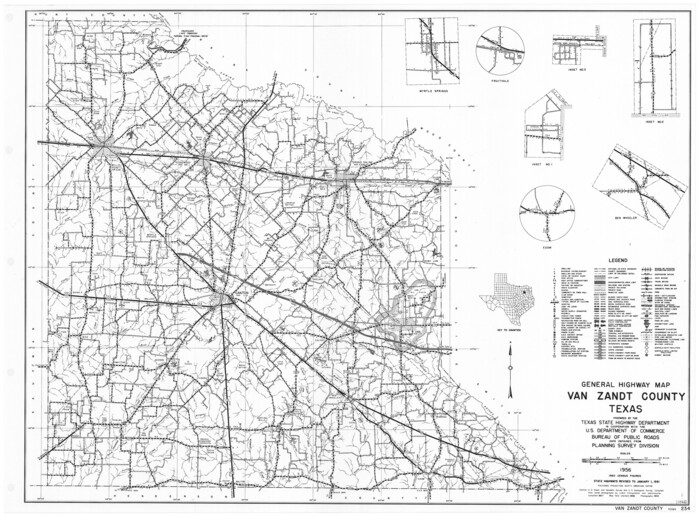

Print $20.00
General Highway Map, Van Zandt County, Texas
1961
Size 18.2 x 24.8 inches
Map/Doc 79696
Bee County Sketch File 32


Print $4.00
- Digital $50.00
Bee County Sketch File 32
Size 7.9 x 12.6 inches
Map/Doc 14347
Street guide and metropolitan map of New Orleans [Verso]
![94199, Street guide and metropolitan map of New Orleans [Verso], General Map Collection](https://historictexasmaps.com/wmedia_w700/maps/94199.tif.jpg)
![94199, Street guide and metropolitan map of New Orleans [Verso], General Map Collection](https://historictexasmaps.com/wmedia_w700/maps/94199.tif.jpg)
Street guide and metropolitan map of New Orleans [Verso]
1963
Size 18.3 x 27.1 inches
Map/Doc 94199
Briscoe County Sketch File E
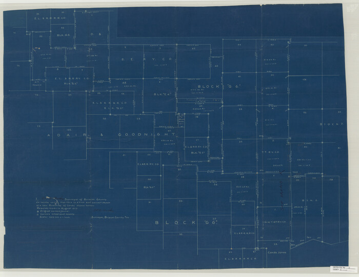

Print $40.00
- Digital $50.00
Briscoe County Sketch File E
Size 26.0 x 33.7 inches
Map/Doc 11003
Hudspeth County Working Sketch 4
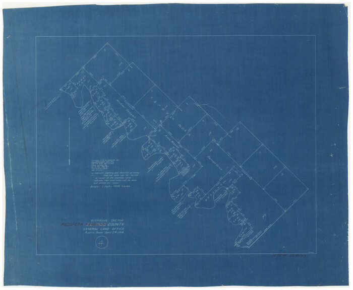

Print $20.00
- Digital $50.00
Hudspeth County Working Sketch 4
1914
Size 16.9 x 20.5 inches
Map/Doc 66285
Crockett County Working Sketch 29


Print $40.00
- Digital $50.00
Crockett County Working Sketch 29
1924
Size 42.8 x 57.6 inches
Map/Doc 68362
Showing how the New County of Durant is bounded, from Official Maps from the General Land Office of Galveston, Harris, Fort Bend, and Brazoria Counties
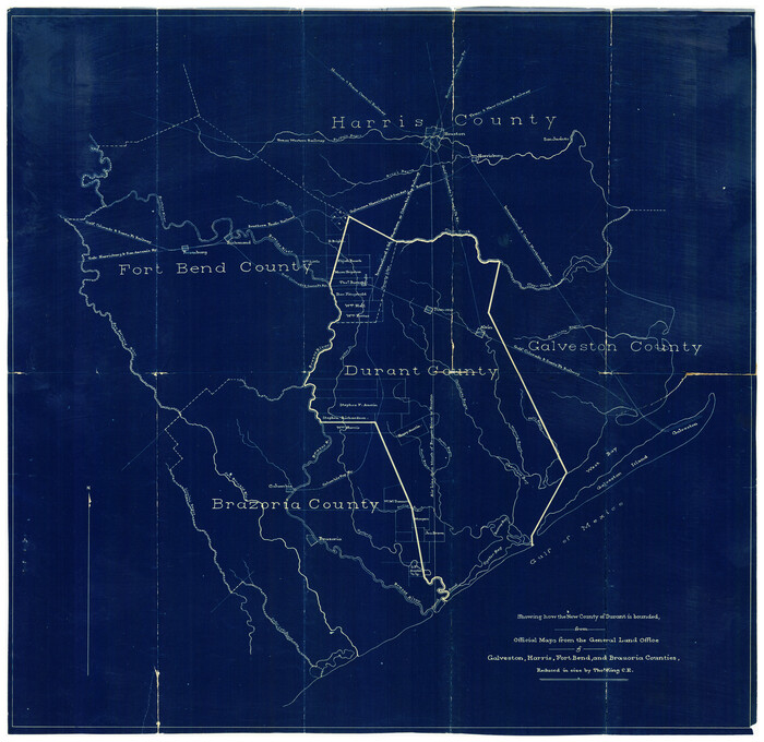

Print $20.00
- Digital $50.00
Showing how the New County of Durant is bounded, from Official Maps from the General Land Office of Galveston, Harris, Fort Bend, and Brazoria Counties
1880
Size 18.6 x 19.0 inches
Map/Doc 4473
El Paso County Boundary File 12
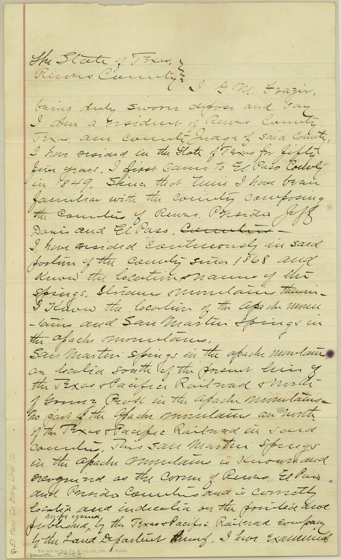

Print $16.00
- Digital $50.00
El Paso County Boundary File 12
Size 13.9 x 8.5 inches
Map/Doc 53153
Lubbock County Working Sketch 10
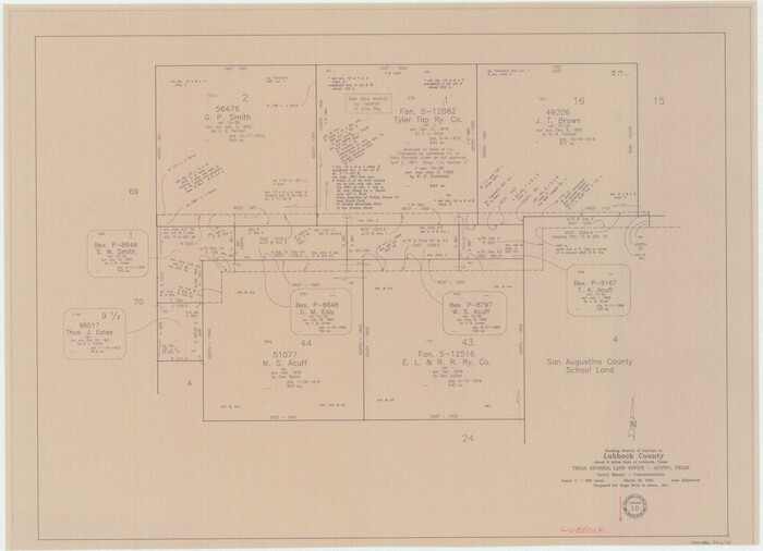

Print $20.00
- Digital $50.00
Lubbock County Working Sketch 10
1994
Size 21.8 x 30.1 inches
Map/Doc 70670
![90978, [Northwest Portion of King County], Twichell Survey Records](https://historictexasmaps.com/wmedia_w1800h1800/maps/90978-1.tif.jpg)
