
Stonewall County Sketch File B1
1901

Hardeman County Sketch File 1
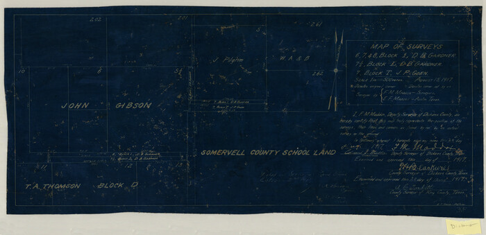
Map of Surveys 6, 7, & 8, Block 1, D.B. Gardner 7 1/2, Block L, D.B. Gardner 7, Block T, J.P. Goen
1917

Sketch of Survey 3, Block 1 in Dickens and King Counties
1914
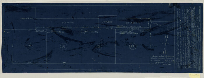
Sketch of Survey 3, Block 1 in Dickens and King Counties
1914

Survey 1, Block 1, D.B. Gardner in Dickens County
1914
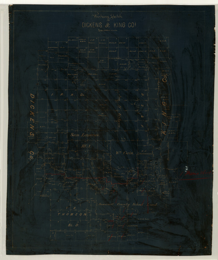
Working Sketch in Dickens & King Cos.
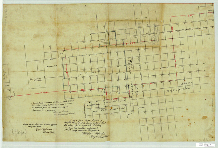
Cottle County Sketch File 6
1883

Dickens County Sketch File 14

Dickens County Sketch File 14a
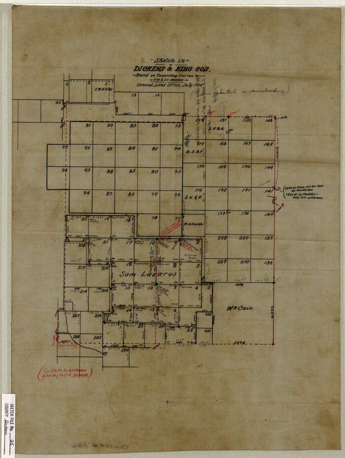
Dickens County Sketch File 25
1914
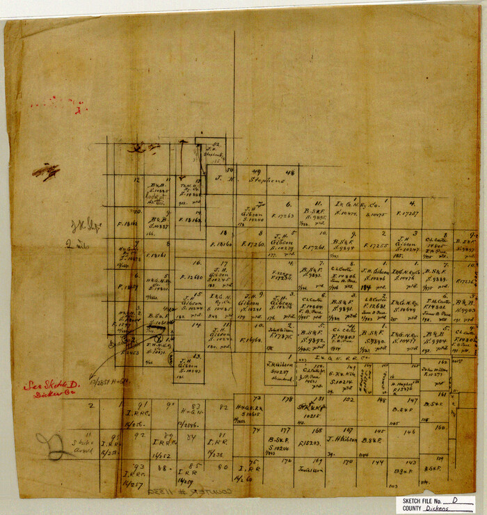
Dickens County Sketch File D
1883
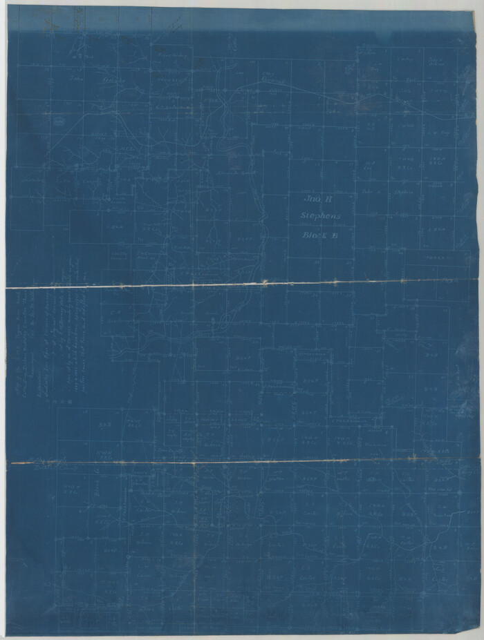
Dickens County Sketch File GW1
1911

Dickens County Sketch File GW3
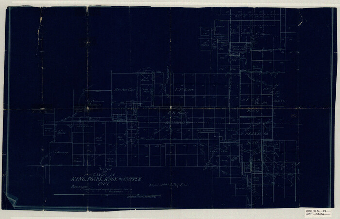
Foard County Sketch File 29

Haskell County Sketch File 20
1902
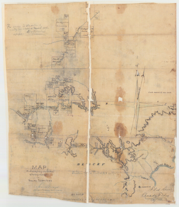
King County Sketch File 3
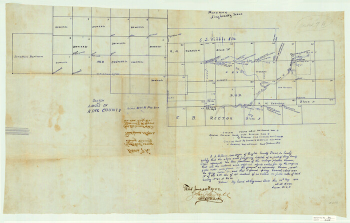
King County Sketch File 7A
1902
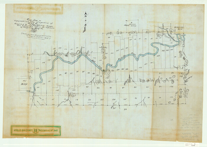
King County Sketch File 9
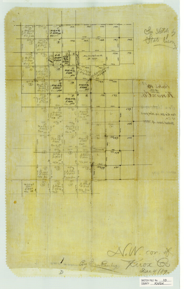
Knox County Sketch File 10
1889

Knox County Sketch File 17
1902
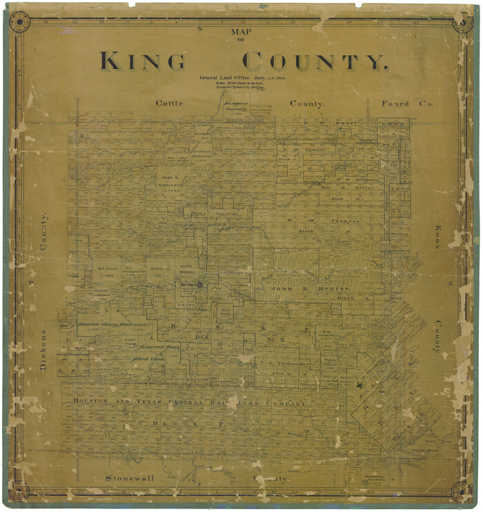
Map of King County
1903

Cottle County Sketch File F
1935

Cottle County Sketch File G

Dickens County Sketch File F1
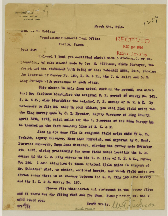
Dickens County Sketch File G2
1914

Dickens County Sketch File J
1904
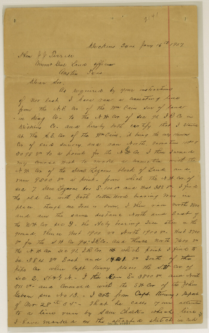
Dickens County Sketch File K
1907

Stonewall County Sketch File B1
1901
-
Size
36.2 x 34.9 inches
-
Map/Doc
10379
-
Creation Date
1901

Hardeman County Sketch File 1
-
Size
31.0 x 45.7 inches
-
Map/Doc
10477

Map of Surveys 6, 7, & 8, Block 1, D.B. Gardner 7 1/2, Block L, D.B. Gardner 7, Block T, J.P. Goen
1917
-
Size
11.0 x 22.6 inches
-
Map/Doc
10762
-
Creation Date
1917

Sketch of Survey 3, Block 1 in Dickens and King Counties
1914
-
Size
10.0 x 27.5 inches
-
Map/Doc
10765
-
Creation Date
1914

Sketch of Survey 3, Block 1 in Dickens and King Counties
1914
-
Size
10.8 x 28.2 inches
-
Map/Doc
10766
-
Creation Date
1914

Survey 1, Block 1, D.B. Gardner in Dickens County
1914
-
Size
14.9 x 30.4 inches
-
Map/Doc
10767
-
Creation Date
1914

Working Sketch in Dickens & King Cos.
-
Size
24.4 x 20.4 inches
-
Map/Doc
10770

Cottle County Sketch File 6
1883
-
Size
20.3 x 29.8 inches
-
Map/Doc
11190
-
Creation Date
1883

Dickens County Sketch File 14
-
Size
19.6 x 16.6 inches
-
Map/Doc
11320

Dickens County Sketch File 14a
-
Size
18.2 x 16.5 inches
-
Map/Doc
11321

Dickens County Sketch File 25
1914
-
Size
19.2 x 14.4 inches
-
Map/Doc
11326
-
Creation Date
1914

Dickens County Sketch File D
1883
-
Size
15.7 x 14.8 inches
-
Map/Doc
11330
-
Creation Date
1883

Dickens County Sketch File GW1
1911
-
Size
31.5 x 24.4 inches
-
Map/Doc
11334
-
Creation Date
1911

Dickens County Sketch File GW3
-
Size
13.9 x 26.6 inches
-
Map/Doc
11335

Foard County Sketch File 29
-
Size
18.9 x 29.4 inches
-
Map/Doc
11494

Haskell County Sketch File 20
1902
-
Size
20.9 x 26.2 inches
-
Map/Doc
11743
-
Creation Date
1902

King County Sketch File 3
-
Size
22.2 x 27.1 inches
-
Map/Doc
11934

King County Sketch File 7A
1902
-
Size
22.1 x 34.7 inches
-
Map/Doc
11936
-
Creation Date
1902

King County Sketch File 9
-
Size
23.5 x 33.0 inches
-
Map/Doc
11937

Knox County Sketch File 10
1889
-
Size
20.1 x 12.8 inches
-
Map/Doc
11958
-
Creation Date
1889

Knox County Sketch File 17
1902
-
Size
18.4 x 25.0 inches
-
Map/Doc
11960
-
Creation Date
1902

Map of King County
1903
-
Size
44.8 x 42.4 inches
-
Map/Doc
16867
-
Creation Date
1903

King County
1947
-
Size
44.3 x 39.7 inches
-
Map/Doc
1876
-
Creation Date
1947

Cottle County Sketch File F
1935
-
Size
11.5 x 8.8 inches
-
Map/Doc
19444
-
Creation Date
1935

Cottle County Sketch File G
-
Size
11.5 x 7.3 inches
-
Map/Doc
19447

Young Territory
1865
-
Size
29.7 x 30.5 inches
-
Map/Doc
1978
-
Creation Date
1865

Dickens County Sketch File F1
-
Size
11.4 x 8.7 inches
-
Map/Doc
20849

Dickens County Sketch File G2
1914
-
Size
11.4 x 8.9 inches
-
Map/Doc
20858
-
Creation Date
1914

Dickens County Sketch File J
1904
-
Size
11.6 x 9.1 inches
-
Map/Doc
20883
-
Creation Date
1904

Dickens County Sketch File K
1907
-
Size
14.5 x 9.1 inches
-
Map/Doc
20889
-
Creation Date
1907