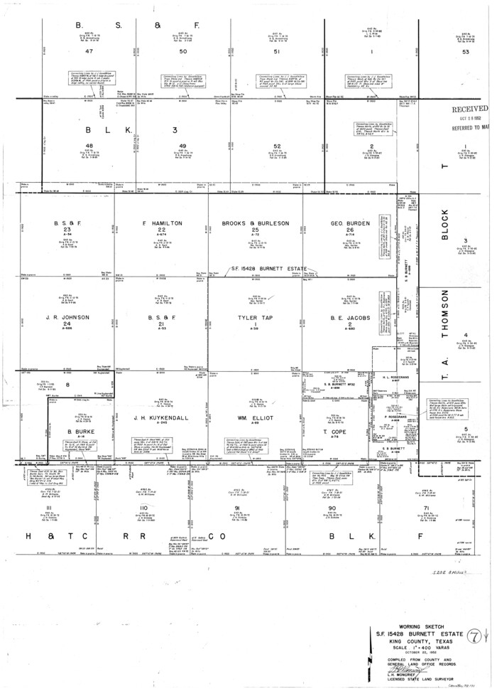
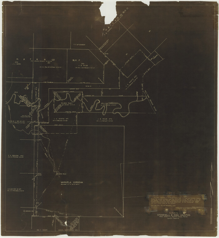
160 results

General Highway Map, King County, Texas
79555.tif
Print $20.00

General Highway Map, King County, Texas

1961

Size: 18.2 x 24.6 inches
79555
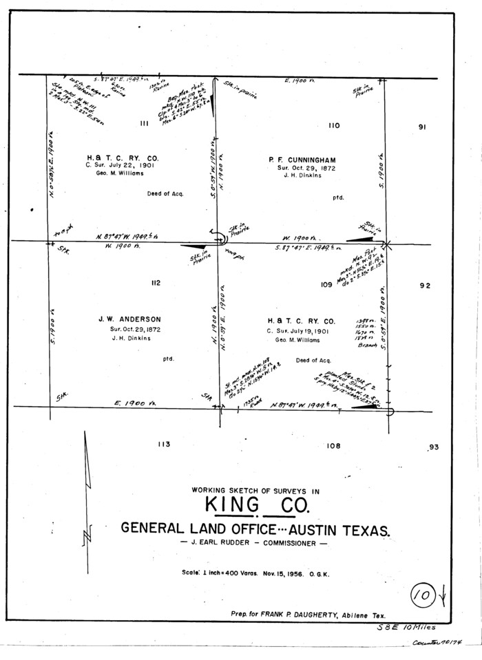
Dickens County Sketch File 18
20979, Dickens County Sketch File 18, General Map Collection
Print $6.00 - Digital $50.00

Dickens County Sketch File 18

1959

Size: 11.3 x 8.8 inches
20979
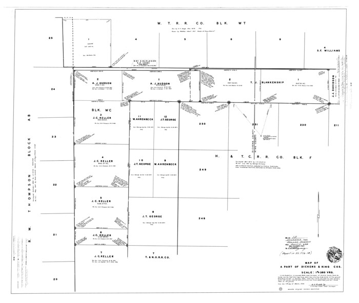
Dickens County Rolled Sketch 12
8790.tif
Print $20.00 - Digital $50.00

Dickens County Rolled Sketch 12

1959

Size: 33.5 x 39.7 inches
8790
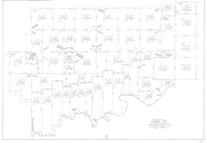
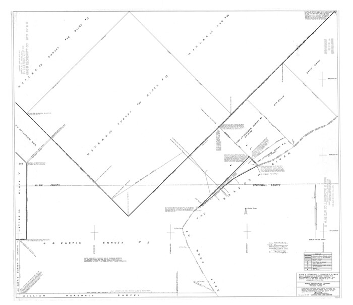
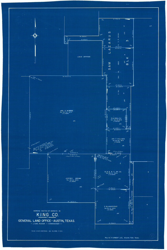
King County Rolled Sketch 11
9351.tif
Print $20.00 - Digital $50.00

King County Rolled Sketch 11

1955

Size: 40.2 x 46.6 inches
9351
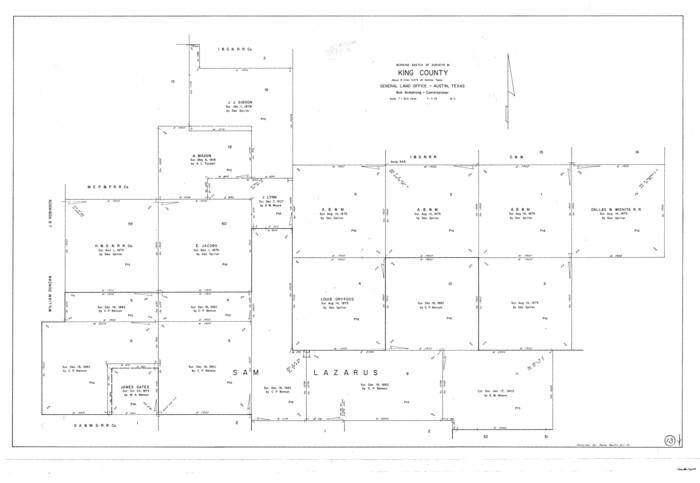
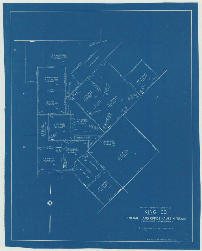
King County Rolled Sketch 12
9352.tif
Print $20.00 - Digital $50.00

King County Rolled Sketch 12

1955

Size: 40.9 x 45.7 inches
9352
Stonewall County Rolled Sketch 24A
9963.tif
Print $40.00 - Digital $50.00

Stonewall County Rolled Sketch 24A

1954

Size: 55.0 x 47.1 inches
9963
Stonewall County Rolled Sketch 24B
9964.tif
Print $40.00 - Digital $50.00

Stonewall County Rolled Sketch 24B

1954
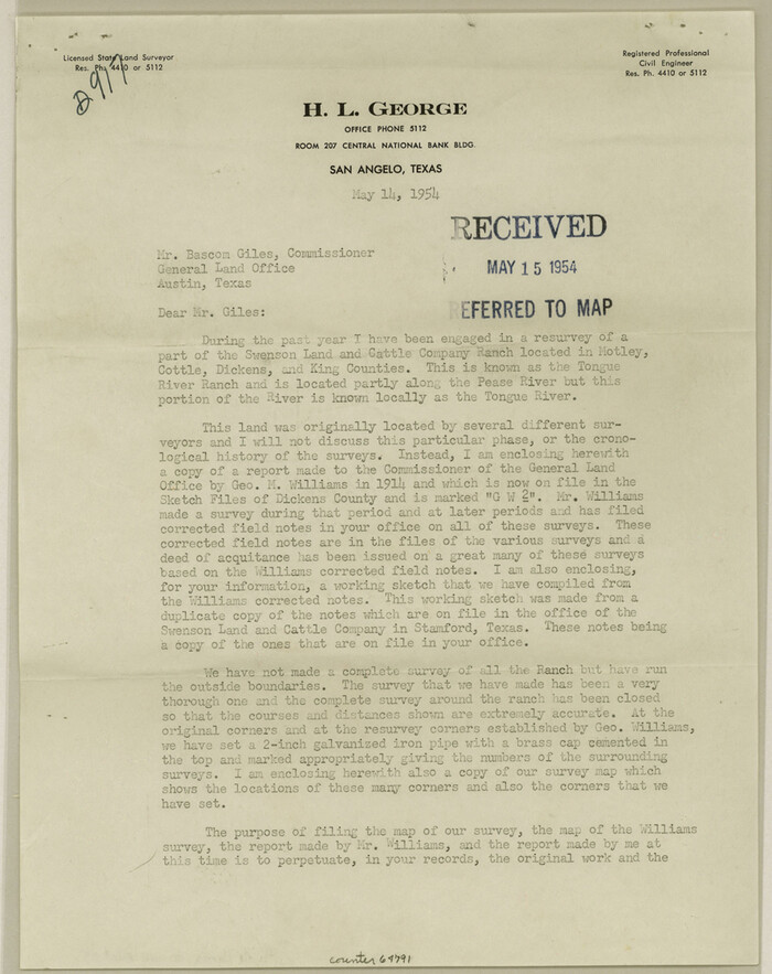
Size: 50.1 x 43.1 inches
9964
Dickens County Sketch File 35
64791, Dickens County Sketch File 35, General Map Collection
Print $10.00 - Digital $50.00

Dickens County Sketch File 35

1954

Size: 11.2 x 8.9 inches
64791
Dickens County Rolled Sketch 9
5708.tif
Print $20.00 - Digital $50.00

Dickens County Rolled Sketch 9

1954

Size: 41.0 x 30.3 inches
5708
Stonewall County Rolled Sketch 22
76011.tif
Print $20.00 - Digital $50.00

Stonewall County Rolled Sketch 22

1951

Size: 33.3 x 30.7 inches
76011
Stonewall County Rolled Sketch 22
9961.tif
Print $20.00 - Digital $50.00

Stonewall County Rolled Sketch 22

1951
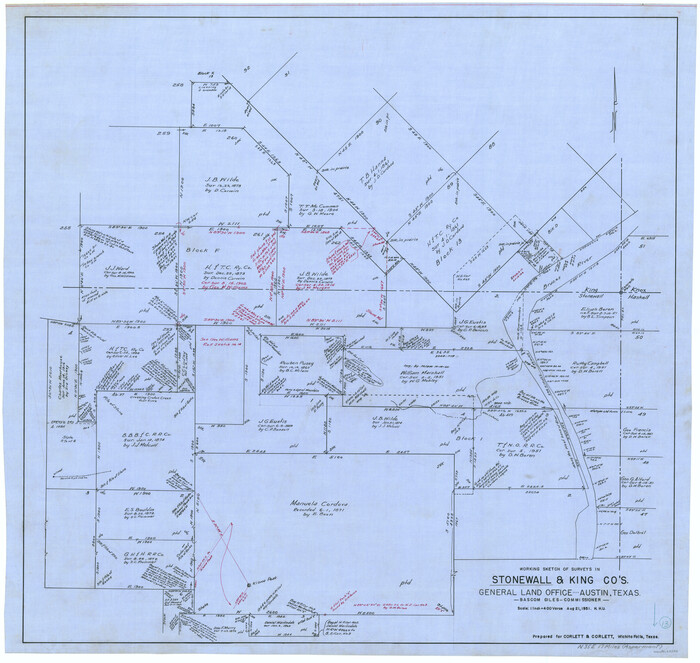
Size: 33.2 x 30.9 inches
9961
Dickens County Rolled Sketch 13
44296.tif
Print $40.00 - Digital $50.00

Dickens County Rolled Sketch 13

1950

Size: 44.3 x 53.8 inches
44296
Dickens County Rolled Sketch 13
45135.tif
Print $40.00 - Digital $50.00

Dickens County Rolled Sketch 13

1950

Size: 43.4 x 53.7 inches
45135
King County
1876.tif
Print $20.00 - Digital $50.00

King County

1947

Size: 44.3 x 39.7 inches
1876
King County
73208.tif
Print $20.00 - Digital $50.00

King County

1947

Size: 44.0 x 39.8 inches
73208
King County Working Sketch Graphic Index
76608.tif
Print $20.00 - Digital $50.00

King County Working Sketch Graphic Index

1947

Size: 44.2 x 39.5 inches
76608
King County
77341.tif
Print $20.00 - Digital $50.00

King County

1947

Size: 46.0 x 41.1 inches
77341
King County
95558.tif
Print $20.00 - Digital $50.00

King County

1947

Size: 45.6 x 41.2 inches
95558
General Highway Map, King County, Texas
79161.tif
Print $20.00

General Highway Map, King County, Texas

1940

Size: 18.3 x 24.8 inches
79161
Cottle County Sketch File F
19444, Cottle County Sketch File F, General Map Collection
Print $6.00 - Digital $50.00

Cottle County Sketch File F

1935

Size: 11.5 x 8.8 inches
19444
Cottle County Rolled Sketch 11
5568.tif
Print $20.00 - Digital $50.00

Cottle County Rolled Sketch 11

1927

Size: 31.6 x 24.1 inches
5568
Dickens County Rolled Sketch 11
44285, Dickens County Rolled Sketch 11, General Map Collection
Print $21.00 - Digital $50.00

Dickens County Rolled Sketch 11

1918

Size: 10.6 x 15.6 inches
44285
Dickens County Rolled Sketch P
8782.tif
Print $20.00 - Digital $50.00

Dickens County Rolled Sketch P

1917

Size: 41.2 x 36.9 inches
8782
Dickens County Rolled Sketch P2
8784.tif
Print $20.00 - Digital $50.00

Dickens County Rolled Sketch P2

1917

Size: 41.5 x 36.4 inches
8784
Dickens County Rolled Sketch P3
8785.tif
Print $20.00 - Digital $50.00

Dickens County Rolled Sketch P3

1917

Size: 41.4 x 36.1 inches
8785
Map of Surveys 6, 7, & 8, Block 1, D.B. Gardner 7 1/2, Block L, D.B. Gardner 7, Block T, J.P. Goen
10762.tif
Print $20.00 - Digital $50.00

Map of Surveys 6, 7, & 8, Block 1, D.B. Gardner 7 1/2, Block L, D.B. Gardner 7, Block T, J.P. Goen

1917

Size: 11.0 x 22.6 inches
10762
[Sections 158-162 and surveys to the east]
93003.tif
Print $20.00 - Digital $50.00

[Sections 158-162 and surveys to the east]

1916

Size: 7.8 x 18.9 inches
93003
Map of the Northeast Part of the Pitchfork Ranch
90980-1.tif
Print $20.00 - Digital $50.00

Map of the Northeast Part of the Pitchfork Ranch

1916

Size: 23.4 x 23.4 inches
90980
Map of the Northeast part of the Pitchfork Ranch
91046-1.tif
Print $20.00 - Digital $50.00

Map of the Northeast part of the Pitchfork Ranch

1916

Size: 23.2 x 23.6 inches
91046
King County Survey
91020-1.tif
Print $20.00 - Digital $50.00

King County Survey

1916

Size: 25.4 x 30.1 inches
91020
General Highway Map, King County, Texas
79555, General Highway Map, King County, Texas, Texas State Library and Archives
Print $20.00

General Highway Map, King County, Texas

1961

  • Size

    18.2 x 24.6 inches

  • Map/Doc

    79555

  • Creation Date

    1961

Dickens County Sketch File 18
20979, Dickens County Sketch File 18, General Map Collection
Print $6.00 - Digital $50.00

Dickens County Sketch File 18

1959

  • Size

    11.3 x 8.8 inches

  • Map/Doc

    20979

  • Creation Date

    1959

Dickens County Rolled Sketch 12
8790, Dickens County Rolled Sketch 12, General Map Collection
Print $20.00 - Digital $50.00

Dickens County Rolled Sketch 12

1959

  • Size

    33.5 x 39.7 inches

  • Map/Doc

    8790

  • Creation Date

    1959

King County Rolled Sketch 11
9351, King County Rolled Sketch 11, General Map Collection
Print $20.00 - Digital $50.00

King County Rolled Sketch 11

1955

  • Size

    40.2 x 46.6 inches

  • Map/Doc

    9351

  • Creation Date

    1955

King County Rolled Sketch 12
9352, King County Rolled Sketch 12, General Map Collection
Print $20.00 - Digital $50.00

King County Rolled Sketch 12

1955

  • Size

    40.9 x 45.7 inches

  • Map/Doc

    9352

  • Creation Date

    1955

Stonewall County Rolled Sketch 24A
9963, Stonewall County Rolled Sketch 24A, General Map Collection
Print $40.00 - Digital $50.00

Stonewall County Rolled Sketch 24A

1954

  • Size

    55.0 x 47.1 inches

  • Map/Doc

    9963

  • Creation Date

    1954

Stonewall County Rolled Sketch 24B
9964, Stonewall County Rolled Sketch 24B, General Map Collection
Print $40.00 - Digital $50.00

Stonewall County Rolled Sketch 24B

1954

  • Size

    50.1 x 43.1 inches

  • Map/Doc

    9964

  • Creation Date

    1954

Dickens County Sketch File 35
64791, Dickens County Sketch File 35, General Map Collection
Print $10.00 - Digital $50.00

Dickens County Sketch File 35

1954

  • Size

    11.2 x 8.9 inches

  • Map/Doc

    64791

  • Creation Date

    1954

Dickens County Rolled Sketch 9
5708, Dickens County Rolled Sketch 9, General Map Collection
Print $20.00 - Digital $50.00

Dickens County Rolled Sketch 9

1954

  • Size

    41.0 x 30.3 inches

  • Map/Doc

    5708

  • Creation Date

    1954

Stonewall County Rolled Sketch 22
76011, Stonewall County Rolled Sketch 22, General Map Collection
Print $20.00 - Digital $50.00

Stonewall County Rolled Sketch 22

1951

  • Size

    33.3 x 30.7 inches

  • Map/Doc

    76011

  • Creation Date

    1951

Stonewall County Rolled Sketch 22
9961, Stonewall County Rolled Sketch 22, General Map Collection
Print $20.00 - Digital $50.00

Stonewall County Rolled Sketch 22

1951

  • Size

    33.2 x 30.9 inches

  • Map/Doc

    9961

  • Creation Date

    1951

Dickens County Rolled Sketch 13
44296, Dickens County Rolled Sketch 13, General Map Collection
Print $40.00 - Digital $50.00

Dickens County Rolled Sketch 13

1950

  • Size

    44.3 x 53.8 inches

  • Map/Doc

    44296

  • Creation Date

    1950

Dickens County Rolled Sketch 13
45135, Dickens County Rolled Sketch 13, General Map Collection
Print $40.00 - Digital $50.00

Dickens County Rolled Sketch 13

1950

  • Size

    43.4 x 53.7 inches

  • Map/Doc

    45135

  • Creation Date

    1950

King County
1876, King County, General Map Collection
Print $20.00 - Digital $50.00

King County

1947

  • Size

    44.3 x 39.7 inches

  • Map/Doc

    1876

  • Creation Date

    1947

King County
73208, King County, General Map Collection
Print $20.00 - Digital $50.00

King County

1947

  • Size

    44.0 x 39.8 inches

  • Map/Doc

    73208

  • Creation Date

    1947

King County Working Sketch Graphic Index
76608, King County Working Sketch Graphic Index, General Map Collection
Print $20.00 - Digital $50.00

King County Working Sketch Graphic Index

1947

  • Size

    44.2 x 39.5 inches

  • Map/Doc

    76608

  • Creation Date

    1947

King County
77341, King County, General Map Collection
Print $20.00 - Digital $50.00

King County

1947

  • Size

    46.0 x 41.1 inches

  • Map/Doc

    77341

  • Creation Date

    1947

King County
95558, King County, General Map Collection
Print $20.00 - Digital $50.00

King County

1947

  • Size

    45.6 x 41.2 inches

  • Map/Doc

    95558

  • Creation Date

    1947

General Highway Map, King County, Texas
79161, General Highway Map, King County, Texas, Texas State Library and Archives
Print $20.00

General Highway Map, King County, Texas

1940

  • Size

    18.3 x 24.8 inches

  • Map/Doc

    79161

  • Creation Date

    1940

Cottle County Sketch File F
19444, Cottle County Sketch File F, General Map Collection
Print $6.00 - Digital $50.00

Cottle County Sketch File F

1935

  • Size

    11.5 x 8.8 inches

  • Map/Doc

    19444

  • Creation Date

    1935

Cottle County Rolled Sketch 11
5568, Cottle County Rolled Sketch 11, General Map Collection
Print $20.00 - Digital $50.00

Cottle County Rolled Sketch 11

1927

  • Size

    31.6 x 24.1 inches

  • Map/Doc

    5568

  • Creation Date

    1927

Dickens County Rolled Sketch 11
44285, Dickens County Rolled Sketch 11, General Map Collection
Print $21.00 - Digital $50.00

Dickens County Rolled Sketch 11

1918

  • Size

    10.6 x 15.6 inches

  • Map/Doc

    44285

  • Creation Date

    1918

Dickens County Rolled Sketch P
8782, Dickens County Rolled Sketch P, General Map Collection
Print $20.00 - Digital $50.00

Dickens County Rolled Sketch P

1917

  • Size

    41.2 x 36.9 inches

  • Map/Doc

    8782

  • Creation Date

    1917

Dickens County Rolled Sketch P2
8784, Dickens County Rolled Sketch P2, General Map Collection
Print $20.00 - Digital $50.00

Dickens County Rolled Sketch P2

1917

  • Size

    41.5 x 36.4 inches

  • Map/Doc

    8784

  • Creation Date

    1917

Dickens County Rolled Sketch P3
8785, Dickens County Rolled Sketch P3, General Map Collection
Print $20.00 - Digital $50.00

Dickens County Rolled Sketch P3

1917

  • Size

    41.4 x 36.1 inches

  • Map/Doc

    8785

  • Creation Date

    1917

Map of Surveys 6, 7, & 8, Block 1, D.B. Gardner 7 1/2, Block L, D.B. Gardner 7, Block T, J.P. Goen
10762, Map of Surveys 6, 7, & 8, Block 1, D.B. Gardner 7 1/2, Block L, D.B. Gardner 7, Block T, J.P. Goen, Maddox Collection
Print $20.00 - Digital $50.00

Map of Surveys 6, 7, & 8, Block 1, D.B. Gardner 7 1/2, Block L, D.B. Gardner 7, Block T, J.P. Goen

1917

  • Size

    11.0 x 22.6 inches

  • Map/Doc

    10762

  • Creation Date

    1917

[Sections 158-162 and surveys to the east]
93003, [Sections 158-162 and surveys to the east], Twichell Survey Records
Print $20.00 - Digital $50.00

[Sections 158-162 and surveys to the east]

1916

  • Size

    7.8 x 18.9 inches

  • Map/Doc

    93003

  • Creation Date

    1916

Map of the Northeast Part of the Pitchfork Ranch
90980, Map of the Northeast Part of the Pitchfork Ranch, Twichell Survey Records
Print $20.00 - Digital $50.00

Map of the Northeast Part of the Pitchfork Ranch

1916

  • Size

    23.4 x 23.4 inches

  • Map/Doc

    90980

  • Creation Date

    1916

Map of the Northeast part of the Pitchfork Ranch
91046, Map of the Northeast part of the Pitchfork Ranch, Twichell Survey Records
Print $20.00 - Digital $50.00

Map of the Northeast part of the Pitchfork Ranch

1916

  • Size

    23.2 x 23.6 inches

  • Map/Doc

    91046

  • Creation Date

    1916

King County Survey
91020, King County Survey, Twichell Survey Records
Print $20.00 - Digital $50.00

King County Survey

1916

  • Size

    25.4 x 30.1 inches

  • Map/Doc

    91020

  • Creation Date

    1916