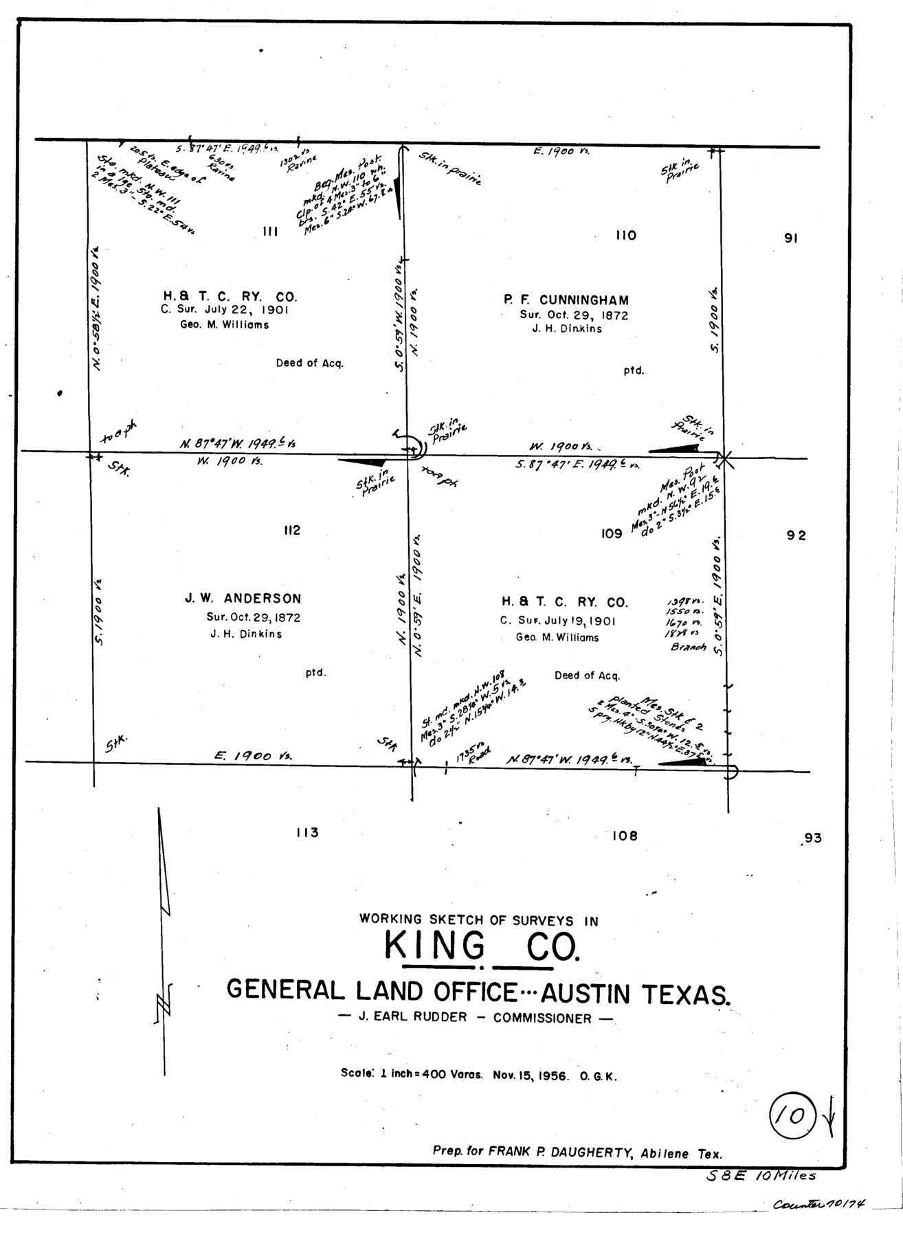
King County Working Sketch 10
-
Map/Doc
70174
-
Collection
General Map Collection
-
Object Dates
11/15/1956 (Creation Date)
-
People and Organizations
Otto G. Kurio (Draftsman)
-
Counties
King
-
Subjects
Surveying Working Sketch
-
Height x Width
19.1 x 13.9 inches
48.5 x 35.3 cm
-
Scale
1" = 400 varas
Part of: General Map Collection
Lampasas County Working Sketch 20, revised

Print $20.00
- Digital $50.00
Lampasas County Working Sketch 20, revised
1981
Size 27.1 x 34.5 inches
Map/Doc 70298
Polk County Sketch File 19

Print $4.00
- Digital $50.00
Polk County Sketch File 19
1863
Size 8.2 x 12.7 inches
Map/Doc 34165
Comanche County Sketch File 25

Print $2.00
- Digital $50.00
Comanche County Sketch File 25
Size 7.4 x 3.6 inches
Map/Doc 19115
Knox County Sketch File 17

Print $20.00
- Digital $50.00
Knox County Sketch File 17
1902
Size 18.4 x 25.0 inches
Map/Doc 11960
Flight Mission No. BRE-2P, Frame 103, Nueces County

Print $20.00
- Digital $50.00
Flight Mission No. BRE-2P, Frame 103, Nueces County
1956
Size 18.5 x 22.2 inches
Map/Doc 86788
Map of Crockett Co.

Print $20.00
- Digital $50.00
Map of Crockett Co.
1901
Size 31.7 x 42.4 inches
Map/Doc 1475
Pecos County Working Sketch 96

Print $20.00
- Digital $50.00
Pecos County Working Sketch 96
1970
Size 41.2 x 39.0 inches
Map/Doc 71569
Map of Drum, Oyster & Bastrop Bays & vicinity in Brazoria County showing subdivision for mineral development

Print $20.00
- Digital $50.00
Map of Drum, Oyster & Bastrop Bays & vicinity in Brazoria County showing subdivision for mineral development
Size 36.8 x 47.3 inches
Map/Doc 65808
Flight Mission No. DAG-26K, Frame 82, Matagorda County

Print $20.00
- Digital $50.00
Flight Mission No. DAG-26K, Frame 82, Matagorda County
1953
Size 18.4 x 19.1 inches
Map/Doc 86587
Frio County Rolled Sketch 19

Print $20.00
- Digital $50.00
Frio County Rolled Sketch 19
1956
Size 35.1 x 40.4 inches
Map/Doc 8909
Red River County Sketch File 18

Print $2.00
- Digital $50.00
Red River County Sketch File 18
Size 5.5 x 7.9 inches
Map/Doc 35149
Duval County Working Sketch 1

Print $20.00
- Digital $50.00
Duval County Working Sketch 1
Size 24.6 x 36.4 inches
Map/Doc 76442
You may also like
Mills County Working Sketch 20

Print $20.00
- Digital $50.00
Mills County Working Sketch 20
1970
Size 43.1 x 43.4 inches
Map/Doc 71050
[Blocks S1, O6, O, A1, A2, A3, A4, JK, JK2, JK4, and JD]
![90658, [Blocks S1, O6, O, A1, A2, A3, A4, JK, JK2, JK4, and JD], Twichell Survey Records](https://historictexasmaps.com/wmedia_w700/maps/90658-1.tif.jpg)
Print $20.00
- Digital $50.00
[Blocks S1, O6, O, A1, A2, A3, A4, JK, JK2, JK4, and JD]
Size 20.3 x 21.7 inches
Map/Doc 90658
Real County Working Sketch 58

Print $20.00
- Digital $50.00
Real County Working Sketch 58
1962
Size 24.7 x 28.5 inches
Map/Doc 71950
Terrell County

Print $20.00
- Digital $50.00
Terrell County
1905
Size 41.2 x 31.3 inches
Map/Doc 63060
Ector County Rolled Sketch 15

Print $20.00
- Digital $50.00
Ector County Rolled Sketch 15
1987
Size 47.5 x 36.6 inches
Map/Doc 8842
Pecos County Rolled Sketch 127

Print $20.00
- Digital $50.00
Pecos County Rolled Sketch 127
Size 20.7 x 23.9 inches
Map/Doc 7267
Map of Young County

Print $20.00
- Digital $50.00
Map of Young County
Size 25.6 x 29.8 inches
Map/Doc 92023
[Sketch for Mineral Application 11318 - Arenosa Creek, S. G. Drushel]
![65647, [Sketch for Mineral Application 11318 - Arenosa Creek, S. G. Drushel], General Map Collection](https://historictexasmaps.com/wmedia_w700/maps/65647-1.tif.jpg)
Print $40.00
- Digital $50.00
[Sketch for Mineral Application 11318 - Arenosa Creek, S. G. Drushel]
Size 78.9 x 24.8 inches
Map/Doc 65647
Irion County Working Sketch 14

Print $40.00
- Digital $50.00
Irion County Working Sketch 14
1973
Size 56.3 x 30.8 inches
Map/Doc 66423

Callahan County Rolled Sketch 2

Print $20.00
- Digital $50.00
Callahan County Rolled Sketch 2
1947
Size 19.1 x 23.0 inches
Map/Doc 5380
La Salle County Rolled Sketch 12

Print $20.00
- Digital $50.00
La Salle County Rolled Sketch 12
Size 25.3 x 37.2 inches
Map/Doc 6575