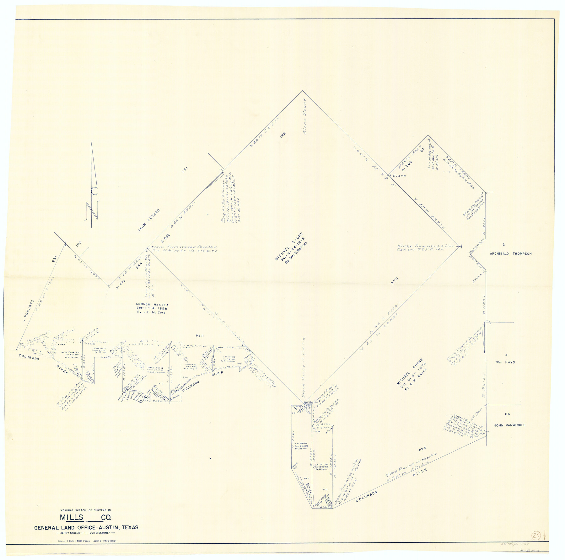
Mills County Working Sketch 20
-
Map/Doc
71050
-
Collection
General Map Collection
-
Object Dates
4/9/1970 (Creation Date)
-
People and Organizations
Herbert H. Ulbricht (Draftsman)
-
Counties
Mills
-
Subjects
Surveying Working Sketch
-
Height x Width
43.1 x 43.4 inches
109.5 x 110.2 cm
-
Scale
1" = 300 varas
Part of: General Map Collection
Val Verde County Sketch File 35b

Print $20.00
- Digital $50.00
Val Verde County Sketch File 35b
1936
Size 18.3 x 23.9 inches
Map/Doc 12576
Real County Sketch File 19

Print $22.00
- Digital $50.00
Real County Sketch File 19
1967
Size 11.5 x 9.0 inches
Map/Doc 35080
Presidio County Sketch File 29

Print $20.00
- Digital $50.00
Presidio County Sketch File 29
1890
Size 29.7 x 20.1 inches
Map/Doc 11711
Maps of Gulf Intracoastal Waterway, Texas - Sabine River to the Rio Grande and connecting waterways including ship channels

Print $20.00
- Digital $50.00
Maps of Gulf Intracoastal Waterway, Texas - Sabine River to the Rio Grande and connecting waterways including ship channels
1966
Size 14.6 x 22.2 inches
Map/Doc 61966
Flight Mission No. DCL-5C, Frame 2, Kenedy County

Print $20.00
- Digital $50.00
Flight Mission No. DCL-5C, Frame 2, Kenedy County
1943
Size 18.5 x 22.5 inches
Map/Doc 85827
Camp County Working Sketch 3

Print $20.00
- Digital $50.00
Camp County Working Sketch 3
1982
Size 32.1 x 24.4 inches
Map/Doc 67879
Mappa Geographica Americae Septentrionalis: ad emendatiora exemplaria adhuc edita jussu Acad. Reg. Scient. Et eleg. Litt. Descripta.

Print $20.00
- Digital $50.00
Mappa Geographica Americae Septentrionalis: ad emendatiora exemplaria adhuc edita jussu Acad. Reg. Scient. Et eleg. Litt. Descripta.
1753
Size 14.9 x 17.4 inches
Map/Doc 88882
Van Zandt County Boundary File 2a

Print $20.00
- Digital $50.00
Van Zandt County Boundary File 2a
Size 20.3 x 20.1 inches
Map/Doc 59649
Crockett County Rolled Sketch 64

Print $20.00
- Digital $50.00
Crockett County Rolled Sketch 64
1947
Size 19.8 x 41.2 inches
Map/Doc 5607
Flight Mission No. CUG-1P, Frame 82, Kleberg County

Print $20.00
- Digital $50.00
Flight Mission No. CUG-1P, Frame 82, Kleberg County
1956
Size 18.6 x 22.3 inches
Map/Doc 86147
Colorado County Rolled Sketch 1

Print $20.00
- Digital $50.00
Colorado County Rolled Sketch 1
1940
Size 37.6 x 35.5 inches
Map/Doc 8640
Val Verde County Rolled Sketch 63

Print $20.00
- Digital $50.00
Val Verde County Rolled Sketch 63
1956
Size 37.5 x 41.8 inches
Map/Doc 10082
You may also like
Map showing the environs of Brazos Islnd. Texas

Print $20.00
- Digital $50.00
Map showing the environs of Brazos Islnd. Texas
1864
Size 26.2 x 18.2 inches
Map/Doc 72914
Map of Mexico, including Yucatan & Upper California, exhibiting the chief cities and towns, the principal travelling routes &c.

Print $20.00
- Digital $50.00
Map of Mexico, including Yucatan & Upper California, exhibiting the chief cities and towns, the principal travelling routes &c.
1847
Size 33.5 x 24.7 inches
Map/Doc 93936
Pecos County Sketch File 101

Print $40.00
- Digital $50.00
Pecos County Sketch File 101
1960
Size 15.6 x 11.7 inches
Map/Doc 34012
General Highway Map, Eastland County, Texas

Print $20.00
General Highway Map, Eastland County, Texas
1961
Size 18.2 x 24.7 inches
Map/Doc 79450
Revised Map of West Half of Sabine Lake, Jefferson & Orange Cos., showing subdivision for mineral development

Print $40.00
- Digital $50.00
Revised Map of West Half of Sabine Lake, Jefferson & Orange Cos., showing subdivision for mineral development
1957
Size 58.9 x 42.0 inches
Map/Doc 2898

Galveston County Sketch File 72

Print $28.00
- Digital $50.00
Galveston County Sketch File 72
1995
Size 14.2 x 8.9 inches
Map/Doc 23970
Liberty County Working Sketch 6

Print $20.00
- Digital $50.00
Liberty County Working Sketch 6
1903
Size 17.2 x 19.5 inches
Map/Doc 70465
Map Showing Block HG and Connecting Surveys

Print $2.00
- Digital $50.00
Map Showing Block HG and Connecting Surveys
1907
Size 9.2 x 13.7 inches
Map/Doc 90681
Randall County Sketch File 9

Print $22.00
- Digital $50.00
Randall County Sketch File 9
Size 13.9 x 17.0 inches
Map/Doc 34970
Chambers County Rolled Sketch 27

Print $40.00
- Digital $50.00
Chambers County Rolled Sketch 27
1944
Size 53.2 x 35.4 inches
Map/Doc 8619
Gillespie County Working Sketch 3

Print $20.00
- Digital $50.00
Gillespie County Working Sketch 3
1960
Size 23.0 x 21.7 inches
Map/Doc 63166