Comanche County Sketch File 25
[Jacket only]
-
Map/Doc
19115
-
Collection
General Map Collection
-
People and Organizations
Pressler (Surveyor/Engineer)
-
Counties
Comanche
-
Subjects
Surveying Sketch File
-
Height x Width
7.4 x 3.6 inches
18.8 x 9.1 cm
-
Medium
paper, manuscript
Part of: General Map Collection
Galveston County NRC Article 33.136 Sketch 61
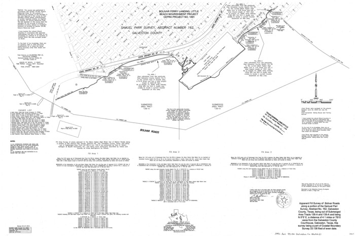

Print $140.00
- Digital $50.00
Galveston County NRC Article 33.136 Sketch 61
2009
Size 24.0 x 36.0 inches
Map/Doc 94824
Van Zandt County Sketch File 21
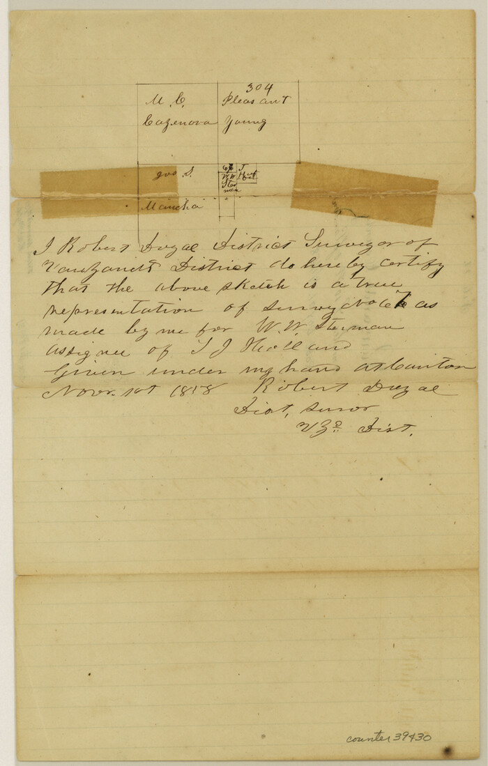

Print $4.00
- Digital $50.00
Van Zandt County Sketch File 21
1858
Size 12.1 x 7.7 inches
Map/Doc 39430
Matagorda County Rolled Sketch 29
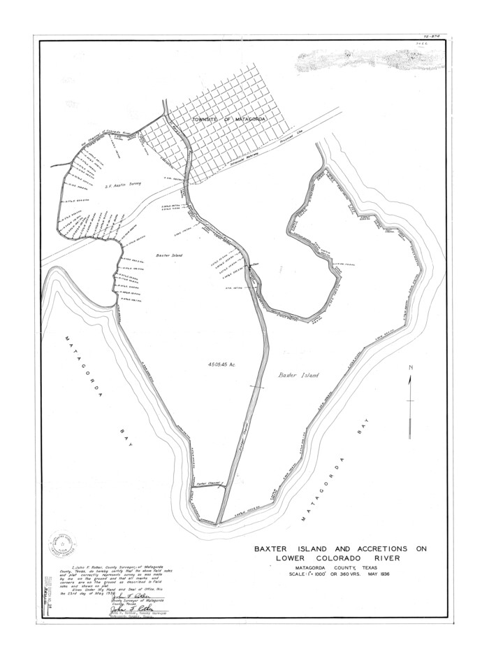

Print $20.00
- Digital $50.00
Matagorda County Rolled Sketch 29
1936
Size 36.6 x 27.2 inches
Map/Doc 6691
Colorado River, Pinoak Creek Sheet
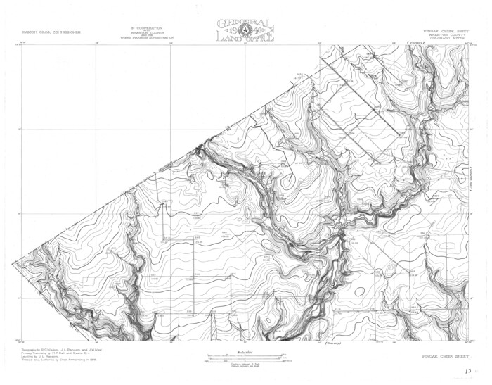

Print $6.00
- Digital $50.00
Colorado River, Pinoak Creek Sheet
1941
Size 27.5 x 35.2 inches
Map/Doc 65312
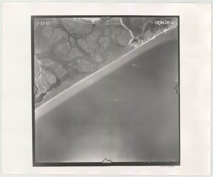
Flight Mission No. DQN-2K, Frame 47, Calhoun County

Print $20.00
- Digital $50.00
Flight Mission No. DQN-2K, Frame 47, Calhoun County
1953
Size 18.5 x 22.2 inches
Map/Doc 84252
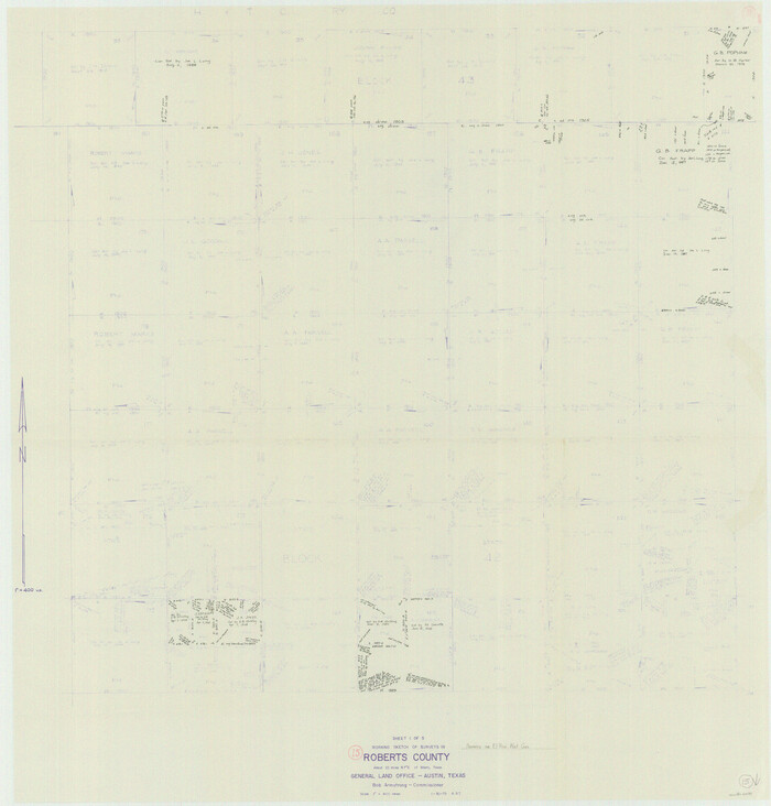
Roberts County Working Sketch 15

Print $20.00
- Digital $50.00
Roberts County Working Sketch 15
1975
Size 40.5 x 38.7 inches
Map/Doc 63541
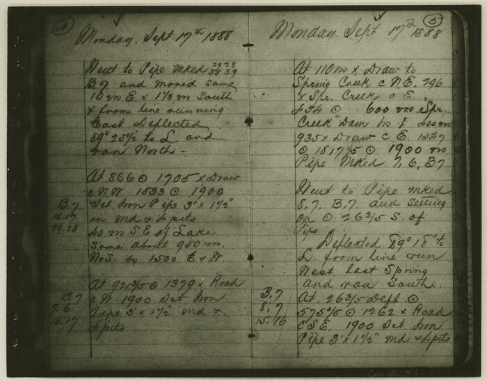
Copy of Surveyor's Field Book, Morris Browning - In Blocks 7, 5 & 4, I&GNRRCo., Hutchinson and Carson Counties, Texas

Print $2.00
- Digital $50.00
Copy of Surveyor's Field Book, Morris Browning - In Blocks 7, 5 & 4, I&GNRRCo., Hutchinson and Carson Counties, Texas
1888
Size 6.9 x 8.8 inches
Map/Doc 62263
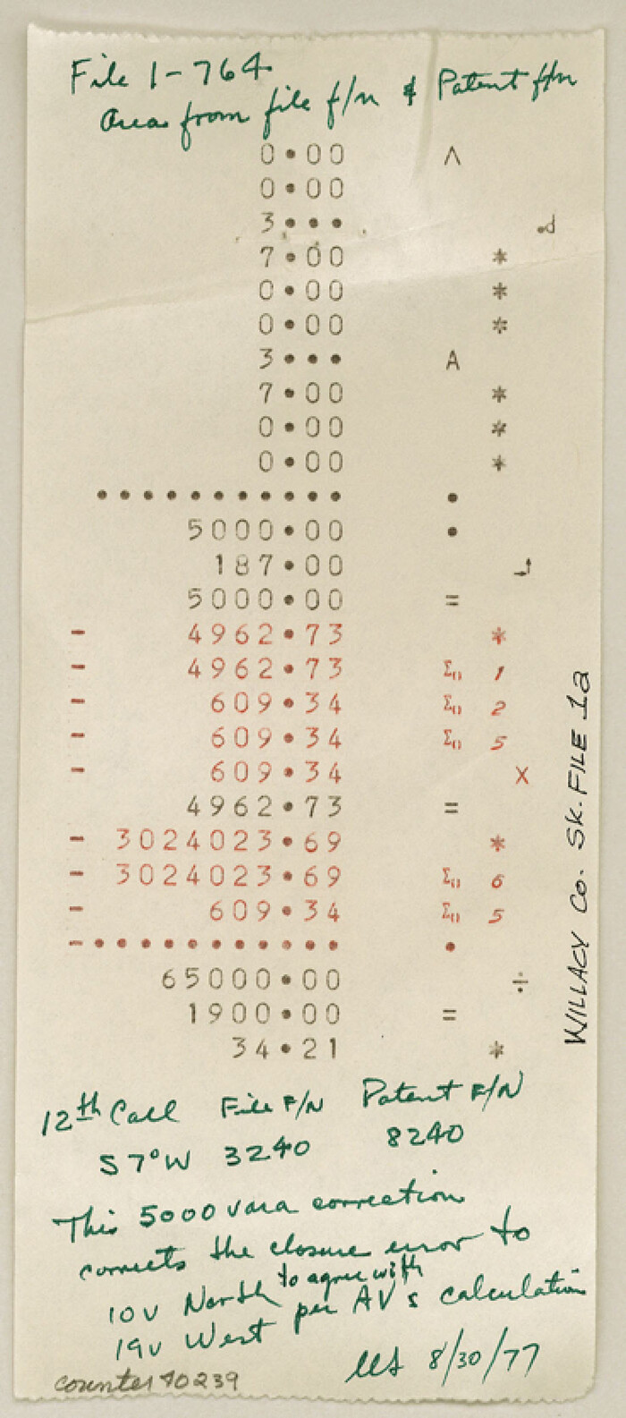
Willacy County Sketch File 1a

Print $272.00
- Digital $50.00
Willacy County Sketch File 1a
1977
Size 8.3 x 3.7 inches
Map/Doc 40239
Map of The Surveyed Part of Peters Colony Texas


Print $40.00
- Digital $50.00
Map of The Surveyed Part of Peters Colony Texas
1858
Size 45.0 x 58.1 inches
Map/Doc 4653
Webb County Sketch File 44a


Print $20.00
- Digital $50.00
Webb County Sketch File 44a
1936
Size 29.4 x 18.2 inches
Map/Doc 12640
Crockett County Rolled Sketch 6
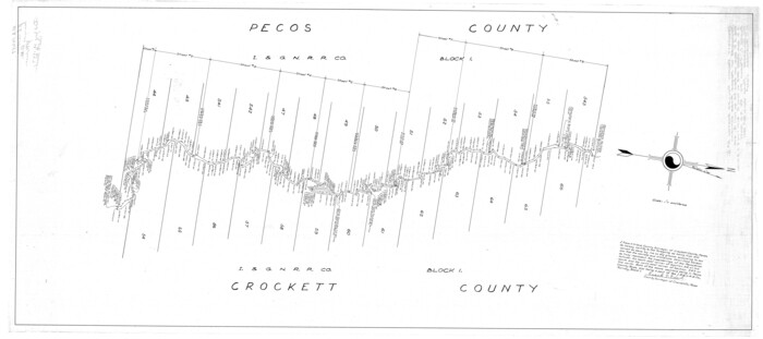

Print $40.00
- Digital $50.00
Crockett County Rolled Sketch 6
Size 54.7 x 24.3 inches
Map/Doc 8690
Crockett County Rolled Sketch 24
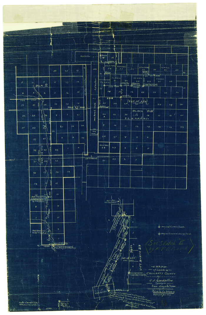

Print $20.00
- Digital $50.00
Crockett County Rolled Sketch 24
1924
Size 19.5 x 13.0 inches
Map/Doc 5584
You may also like
Potter County Sketch File 21


Print $6.00
- Digital $50.00
Potter County Sketch File 21
1930
Size 14.1 x 9.7 inches
Map/Doc 34413
[Part of Block GG]
![90314, [Part of Block GG], Twichell Survey Records](https://historictexasmaps.com/wmedia_w700/maps/90314-1.tif.jpg)
![90314, [Part of Block GG], Twichell Survey Records](https://historictexasmaps.com/wmedia_w700/maps/90314-1.tif.jpg)
Print $20.00
- Digital $50.00
[Part of Block GG]
Size 15.2 x 21.5 inches
Map/Doc 90314
Survey in South Austin for Mr. R.N. Graham
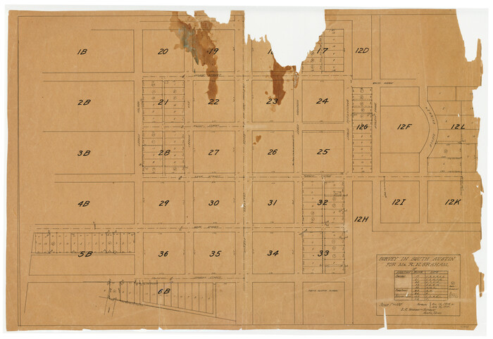

Print $20.00
- Digital $50.00
Survey in South Austin for Mr. R.N. Graham
Map/Doc 93795
Old Miscellaneous File 8
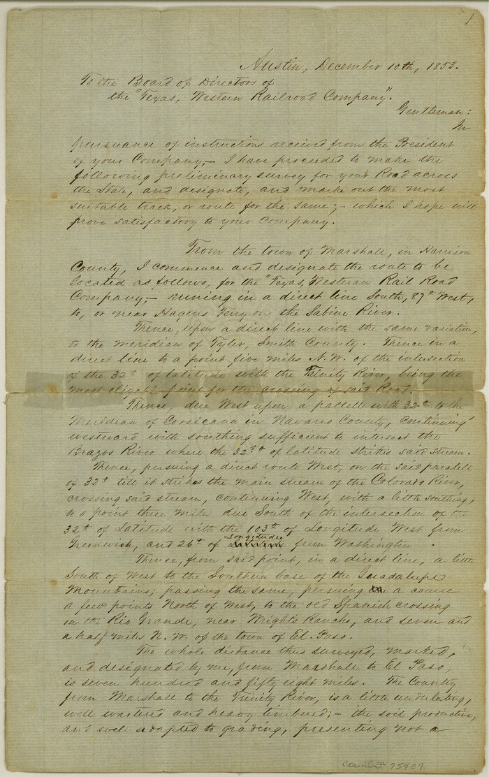

Print $15.00
- Digital $50.00
Old Miscellaneous File 8
1853
Size 16.7 x 10.5 inches
Map/Doc 75427
Webb County Boundary File 3b
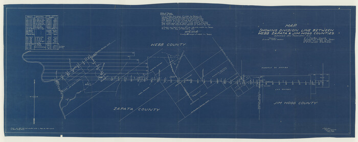

Print $82.00
- Digital $50.00
Webb County Boundary File 3b
Size 20.3 x 50.8 inches
Map/Doc 59758
Kerr County Working Sketch 5
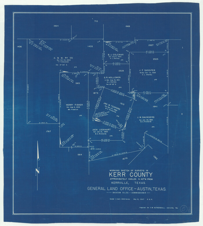

Print $20.00
- Digital $50.00
Kerr County Working Sketch 5
1947
Size 21.9 x 19.8 inches
Map/Doc 70036
Erath County Working Sketch 18


Print $20.00
- Digital $50.00
Erath County Working Sketch 18
1962
Size 30.5 x 34.8 inches
Map/Doc 69099
Chart of the West Indies and Spanish Dominions in North America


Print $20.00
- Digital $50.00
Chart of the West Indies and Spanish Dominions in North America
1803
Size 25.3 x 38.4 inches
Map/Doc 97136
La Salle County Working Sketch 29
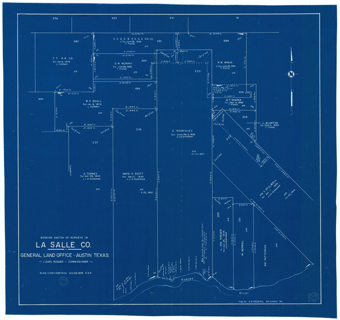

Print $20.00
- Digital $50.00
La Salle County Working Sketch 29
1955
Size 25.8 x 27.4 inches
Map/Doc 70330
Galveston County Sketch File 8


Print $4.00
- Digital $50.00
Galveston County Sketch File 8
1862
Size 11.2 x 8.8 inches
Map/Doc 23365
Burnet County Working Sketch 6


Print $20.00
- Digital $50.00
Burnet County Working Sketch 6
1958
Size 20.5 x 31.0 inches
Map/Doc 67849
Flight Mission No. DQN-1K, Frame 104, Calhoun County
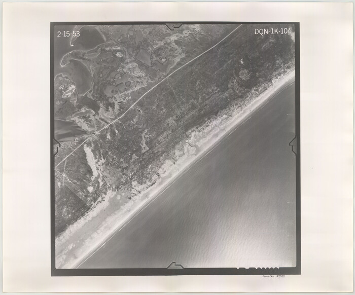

Print $20.00
- Digital $50.00
Flight Mission No. DQN-1K, Frame 104, Calhoun County
1953
Size 18.4 x 22.1 inches
Map/Doc 84171
