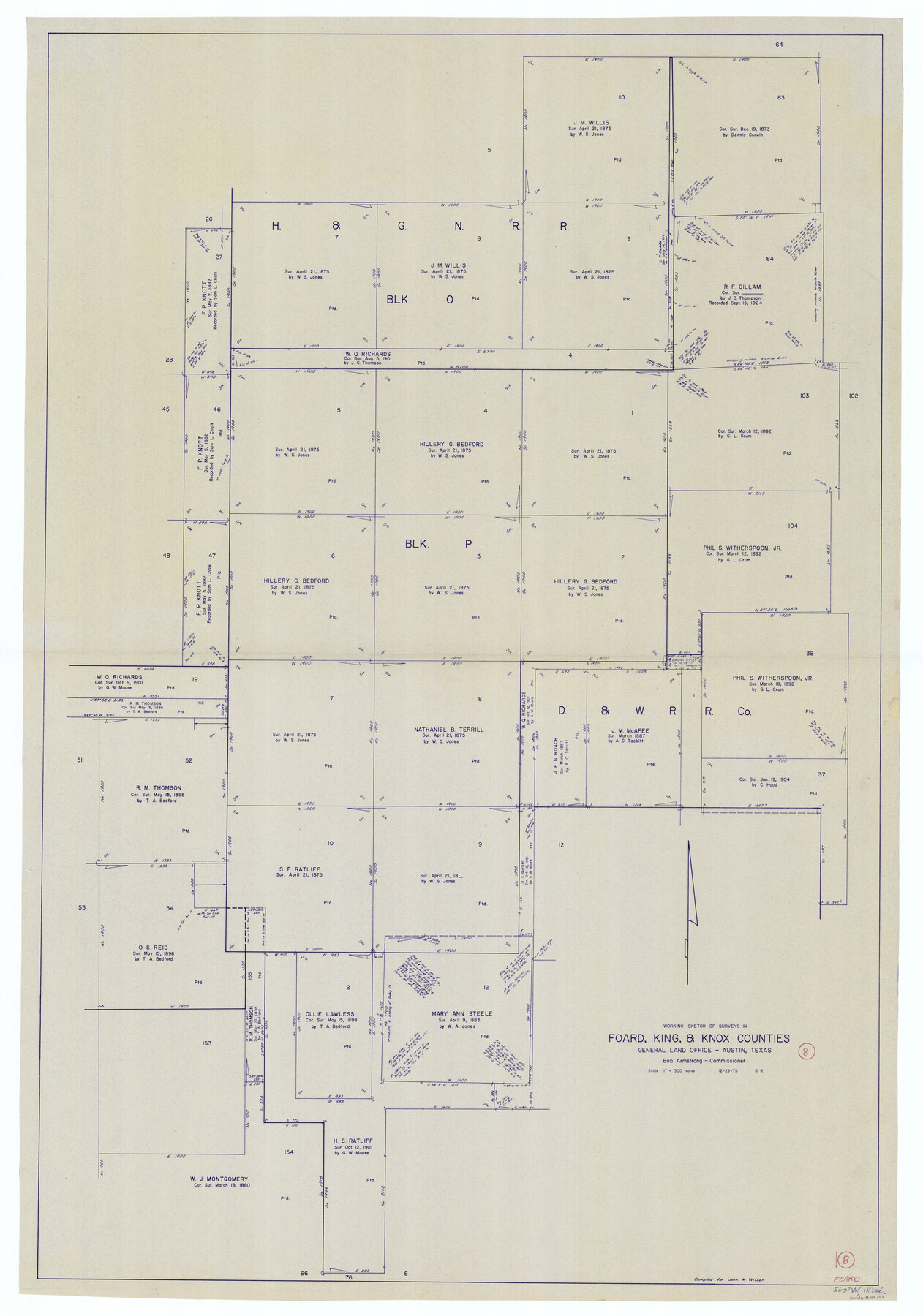
Foard County Working Sketch 8
-
Map/Doc
69199
-
Collection
General Map Collection
-
Object Dates
12/29/1975 (Creation Date)
-
People and Organizations
Beverly Robison (Draftsman)
-
Counties
Foard King Knox
-
Subjects
Surveying Working Sketch
-
Height x Width
57.0 x 40.0 inches
144.8 x 101.6 cm
-
Scale
1" = 300 varas
Part of: General Map Collection
Johnson County Rolled Sketch 4

Print $20.00
- Digital $50.00
Johnson County Rolled Sketch 4
Size 24.8 x 36.0 inches
Map/Doc 94047
Culberson County Sketch File 3

Print $58.00
- Digital $50.00
Culberson County Sketch File 3
Size 8.0 x 3.3 inches
Map/Doc 20112
Reagan County Working Sketch Graphic Index

Print $40.00
- Digital $50.00
Reagan County Working Sketch Graphic Index
1940
Size 48.3 x 36.7 inches
Map/Doc 76677
Callahan County Sketch File 10

Print $40.00
- Digital $50.00
Callahan County Sketch File 10
Size 21.7 x 24.7 inches
Map/Doc 11039
Erath County Rolled Sketch 2A

Print $20.00
- Digital $50.00
Erath County Rolled Sketch 2A
Size 18.8 x 21.4 inches
Map/Doc 5862
Milam County Working Sketch Graphic Index

Print $40.00
- Digital $50.00
Milam County Working Sketch Graphic Index
1975
Size 51.6 x 42.7 inches
Map/Doc 76642
Cochran County Sketch File 1

Print $20.00
- Digital $50.00
Cochran County Sketch File 1
Size 44.6 x 32.5 inches
Map/Doc 10337
Oldham County Working Sketch 9

Print $20.00
- Digital $50.00
Oldham County Working Sketch 9
1982
Size 33.3 x 37.2 inches
Map/Doc 71331
San Patricio County Boundary File 77

Digital $50.00
San Patricio County Boundary File 77
Map/Doc 81963
Ochiltree County Sketch File 3

Print $40.00
- Digital $50.00
Ochiltree County Sketch File 3
1908
Size 15.4 x 12.9 inches
Map/Doc 33177
Fort Bend County

Print $20.00
- Digital $50.00
Fort Bend County
1892
Size 29.3 x 25.7 inches
Map/Doc 3551
[Galveston, Harrisburg & San Antonio through El Paso County]
![64011, [Galveston, Harrisburg & San Antonio through El Paso County], General Map Collection](https://historictexasmaps.com/wmedia_w700/maps/64011.tif.jpg)
Print $20.00
- Digital $50.00
[Galveston, Harrisburg & San Antonio through El Paso County]
1906
Size 13.3 x 33.8 inches
Map/Doc 64011
You may also like
Flight Mission No. DCL-6C, Frame 95, Kenedy County

Print $20.00
- Digital $50.00
Flight Mission No. DCL-6C, Frame 95, Kenedy County
1943
Size 18.6 x 22.3 inches
Map/Doc 85925
Flight Mission No. DAH-9M, Frame 157, Orange County

Print $20.00
- Digital $50.00
Flight Mission No. DAH-9M, Frame 157, Orange County
1953
Size 18.5 x 22.5 inches
Map/Doc 86856
Culberson County Working Sketch 30

Print $20.00
- Digital $50.00
Culberson County Working Sketch 30
1958
Size 29.3 x 30.2 inches
Map/Doc 68483
A Correct Map of the Seat of War in Mexico

Print $20.00
A Correct Map of the Seat of War in Mexico
1847
Size 28.3 x 21.1 inches
Map/Doc 79725
Ward County Working Sketch 49

Print $40.00
- Digital $50.00
Ward County Working Sketch 49
1974
Size 54.8 x 37.1 inches
Map/Doc 72355
Flight Mission No. CRK-3P, Frame 64, Refugio County

Print $20.00
- Digital $50.00
Flight Mission No. CRK-3P, Frame 64, Refugio County
1956
Size 18.7 x 22.5 inches
Map/Doc 86906
Webb County Working Sketch 57

Print $20.00
- Digital $50.00
Webb County Working Sketch 57
1958
Size 24.9 x 38.0 inches
Map/Doc 72423

Map of the United States of America with its territories and districts including also a part of upper and lower Canada and Mexico

Print $20.00
- Digital $50.00
Map of the United States of America with its territories and districts including also a part of upper and lower Canada and Mexico
1835
Size 31.3 x 44.7 inches
Map/Doc 93852
Kaufman County Sketch File 7

Print $5.00
- Digital $50.00
Kaufman County Sketch File 7
1847
Size 8.3 x 10.1 inches
Map/Doc 28636
Wilson County Sketch File 3

Print $6.00
- Digital $50.00
Wilson County Sketch File 3
1848
Size 13.3 x 8.6 inches
Map/Doc 40399
Cooke County Sketch File 9

Print $6.00
- Digital $50.00
Cooke County Sketch File 9
Size 8.2 x 10.5 inches
Map/Doc 19237