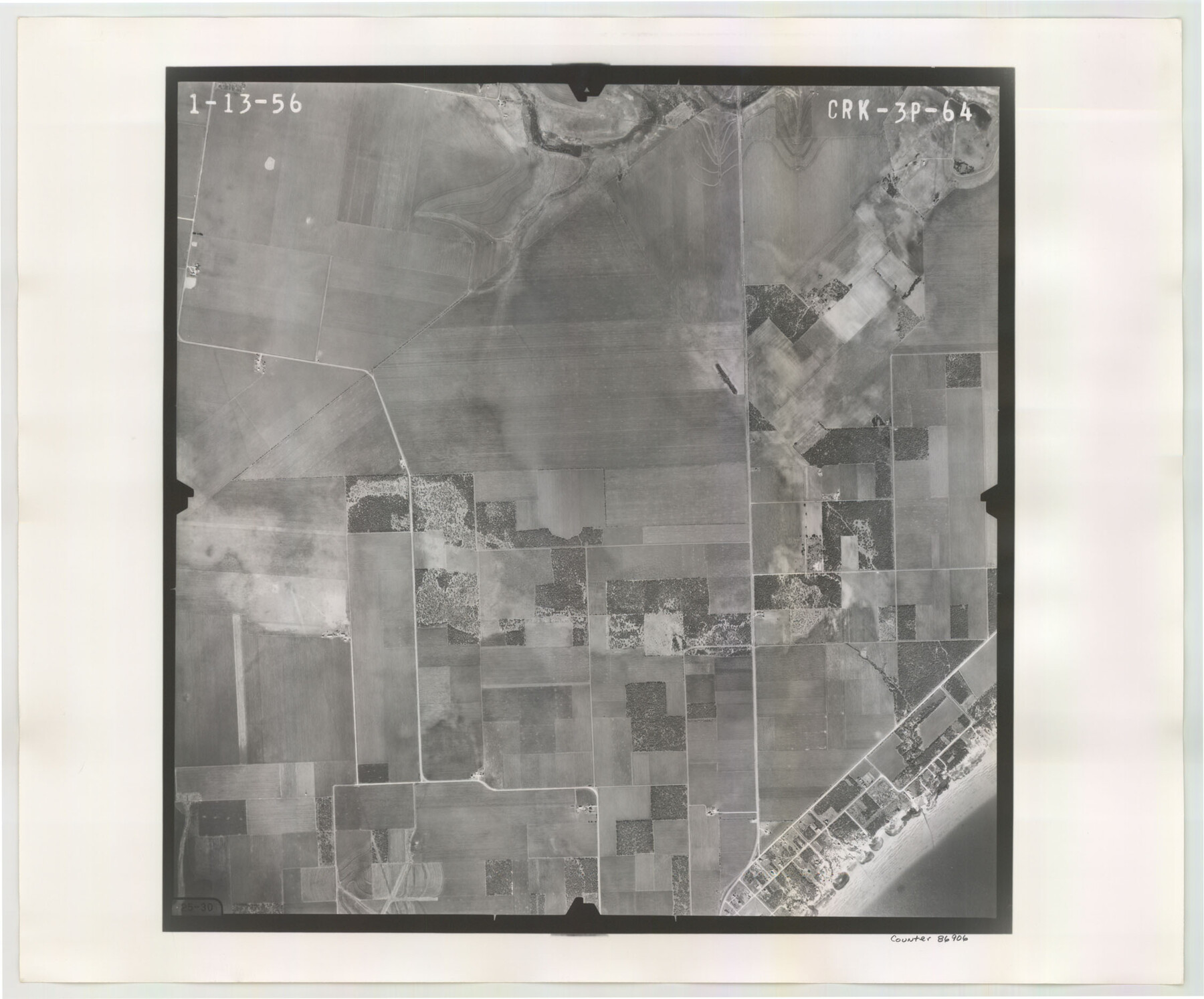
Flight Mission No. CRK-3P, Frame 64, Refugio County
CRK-3P-64
-
Map/Doc
86906
-
Collection
General Map Collection
-
Object Dates
1956/1/13 (Creation Date)
-
People and Organizations
U. S. Department of Agriculture (Publisher)
-
Counties
Refugio
-
Subjects
Aerial Photograph
-
Height x Width
18.7 x 22.5 inches
47.5 x 57.2 cm
-
Comments
Flown by V. L. Beavers and Associates of San Antonio, Texas.
Part of: General Map Collection
Fannin County Working Sketch 1

Print $20.00
- Digital $50.00
Fannin County Working Sketch 1
1904
Size 27.6 x 19.5 inches
Map/Doc 69155
Upton County Working Sketch 7

Print $20.00
- Digital $50.00
Upton County Working Sketch 7
1912
Size 26.3 x 29.9 inches
Map/Doc 69503
Young County Working Sketch 3

Print $20.00
- Digital $50.00
Young County Working Sketch 3
1919
Size 13.4 x 18.9 inches
Map/Doc 62026
Houston County Rolled Sketch 12

Print $20.00
- Digital $50.00
Houston County Rolled Sketch 12
Size 11.8 x 18.1 inches
Map/Doc 95396
Flight Mission No. CRC-1R, Frame 36, Chambers County

Print $20.00
- Digital $50.00
Flight Mission No. CRC-1R, Frame 36, Chambers County
1956
Size 18.7 x 22.3 inches
Map/Doc 84704
Presidio County Rolled Sketch 146

Print $20.00
- Digital $50.00
Presidio County Rolled Sketch 146
2018
Size 29.8 x 41.8 inches
Map/Doc 95821
Rockwall County Boundary File 3a

Print $6.00
- Digital $50.00
Rockwall County Boundary File 3a
Size 6.2 x 8.7 inches
Map/Doc 58393
Galveston County Rolled Sketch Z62

Print $20.00
- Digital $50.00
Galveston County Rolled Sketch Z62
1933
Size 34.7 x 22.7 inches
Map/Doc 5994
Cottle County Sketch File 6b

Print $2.00
- Digital $50.00
Cottle County Sketch File 6b
Size 8.8 x 14.1 inches
Map/Doc 19477
Eastland County Working Sketch 40

Print $20.00
- Digital $50.00
Eastland County Working Sketch 40
1970
Size 27.9 x 26.0 inches
Map/Doc 68821
Colorado County Sketch File 18

Print $40.00
- Digital $50.00
Colorado County Sketch File 18
1897
Size 12.5 x 15.8 inches
Map/Doc 18950

You may also like
La Salle County Working Sketch 40

Print $20.00
- Digital $50.00
La Salle County Working Sketch 40
1968
Size 23.0 x 19.2 inches
Map/Doc 70341
Flight Mission No. BRA-16M, Frame 148, Jefferson County

Print $20.00
- Digital $50.00
Flight Mission No. BRA-16M, Frame 148, Jefferson County
1953
Size 18.5 x 22.2 inches
Map/Doc 85754
Hardin County Working Sketch 24

Print $20.00
- Digital $50.00
Hardin County Working Sketch 24
1950
Size 15.3 x 11.9 inches
Map/Doc 63422
Archer County Sketch File 28-1

Print $40.00
- Digital $50.00
Archer County Sketch File 28-1
1928
Size 23.8 x 22.0 inches
Map/Doc 10834
Kimble County Working Sketch 13

Print $20.00
- Digital $50.00
Kimble County Working Sketch 13
1922
Size 23.8 x 20.8 inches
Map/Doc 70081
J. De Cordova's Map of the State of Texas Compiled from the records of the General Land Office of the State

Print $20.00
- Digital $50.00
J. De Cordova's Map of the State of Texas Compiled from the records of the General Land Office of the State
1854
Size 25.6 x 23.4 inches
Map/Doc 93903

Map of the Galveston, La Porte & Houston Ry. and its Connecting Lines

Print $20.00
- Digital $50.00
Map of the Galveston, La Porte & Houston Ry. and its Connecting Lines
1895
Size 42.6 x 32.0 inches
Map/Doc 64772
Marion County Working Sketch 18

Print $20.00
- Digital $50.00
Marion County Working Sketch 18
1957
Size 36.4 x 40.3 inches
Map/Doc 70794
Flight Mission No. DCL-4C, Frame 123, Kenedy County

Print $20.00
- Digital $50.00
Flight Mission No. DCL-4C, Frame 123, Kenedy County
1943
Size 18.6 x 22.3 inches
Map/Doc 85822
Borden County, Texas

Print $20.00
- Digital $50.00
Borden County, Texas
1892
Size 25.7 x 20.9 inches
Map/Doc 394
Hale County Working Sketch 6

Print $40.00
- Digital $50.00
Hale County Working Sketch 6
1963
Size 68.9 x 38.8 inches
Map/Doc 63326