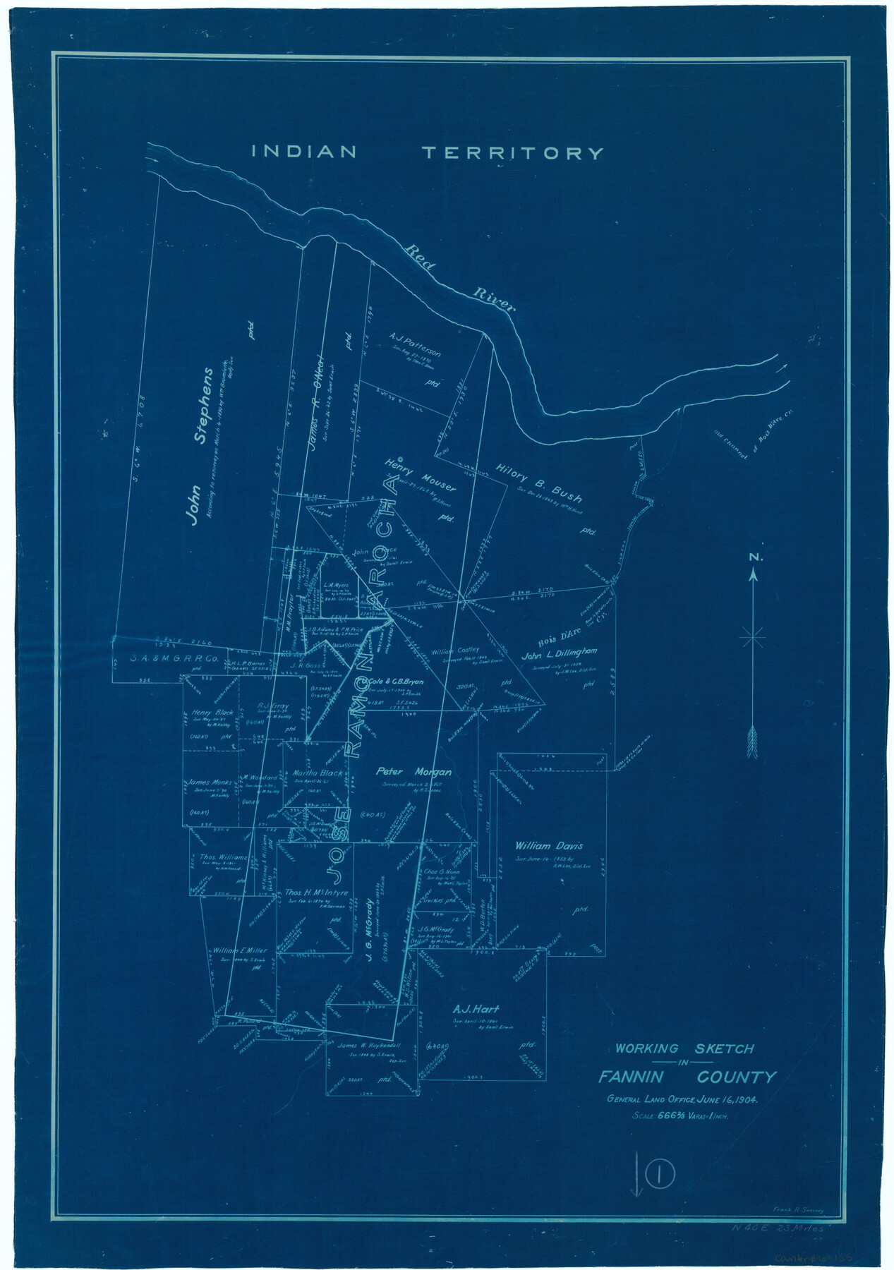
Fannin County Working Sketch 1
-
Map/Doc
69155
-
Collection
General Map Collection
-
Object Dates
6/16/1904 (Creation Date)
-
People and Organizations
Frank R. Sweeney (Draftsman)
-
Counties
Fannin
-
Subjects
Surveying Working Sketch
-
Height x Width
27.6 x 19.5 inches
70.1 x 49.5 cm
-
Scale
1" = 666 2/3 varas
Part of: General Map Collection
Cass County Working Sketch 46

Print $20.00
- Digital $50.00
Cass County Working Sketch 46
1989
Size 26.8 x 30.6 inches
Map/Doc 67949
Houston County Sketch File 1b

Print $4.00
- Digital $50.00
Houston County Sketch File 1b
1857
Size 8.5 x 7.9 inches
Map/Doc 26744
Brewster County Working Sketch 92

Print $40.00
- Digital $50.00
Brewster County Working Sketch 92
1975
Size 61.9 x 39.4 inches
Map/Doc 67692
Tarrant County Sketch File 24

Print $6.00
- Digital $50.00
Tarrant County Sketch File 24
Size 15.3 x 10.0 inches
Map/Doc 37735
Henderson County Working Sketch 10

Print $20.00
- Digital $50.00
Henderson County Working Sketch 10
1925
Size 29.7 x 18.8 inches
Map/Doc 66143
Presidio County Working Sketch 128

Print $20.00
- Digital $50.00
Presidio County Working Sketch 128
1987
Size 37.3 x 29.0 inches
Map/Doc 71806
Irion County Rolled Sketch 18A

Print $20.00
- Digital $50.00
Irion County Rolled Sketch 18A
Size 45.5 x 29.8 inches
Map/Doc 6327
El Paso County Rolled Sketch 52

Print $20.00
- Digital $50.00
El Paso County Rolled Sketch 52
1929
Size 18.5 x 24.4 inches
Map/Doc 5848
Jefferson County Rolled Sketch 49

Print $40.00
- Digital $50.00
Jefferson County Rolled Sketch 49
1963
Size 30.6 x 57.5 inches
Map/Doc 46415
Jack County Working Sketch 17

Print $20.00
- Digital $50.00
Jack County Working Sketch 17
1982
Size 25.9 x 27.4 inches
Map/Doc 66443
Newton County Working Sketch 1

Print $20.00
- Digital $50.00
Newton County Working Sketch 1
Size 25.5 x 25.9 inches
Map/Doc 71247
Val Verde County Rolled Sketch 63

Print $20.00
- Digital $50.00
Val Verde County Rolled Sketch 63
1956
Size 37.5 x 41.8 inches
Map/Doc 10082
You may also like
West Houston: Hwy. 6 from Spencer Rd. in the North to South of Sugar Land. From Wilcrest Dr. in the East to and including Katy.

West Houston: Hwy. 6 from Spencer Rd. in the North to South of Sugar Land. From Wilcrest Dr. in the East to and including Katy.
Size 35.4 x 22.7 inches
Map/Doc 94336
[Atchison, Topeka & Santa Fe from Paisano to south of Plata]
![64709, [Atchison, Topeka & Santa Fe from Paisano to south of Plata], General Map Collection](https://historictexasmaps.com/wmedia_w700/maps/64709.tif.jpg)
Print $40.00
- Digital $50.00
[Atchison, Topeka & Santa Fe from Paisano to south of Plata]
Size 32.3 x 120.8 inches
Map/Doc 64709
Map of Africa engraved to illustrate Mitchell's school and family geography (Inset 1: Map of Egypt / Inset 2: Map of Liberia)

Print $20.00
- Digital $50.00
Map of Africa engraved to illustrate Mitchell's school and family geography (Inset 1: Map of Egypt / Inset 2: Map of Liberia)
1839
Size 9.5 x 11.8 inches
Map/Doc 93507
The Official Map of the City of El Paso, State of Texas

Print $20.00
The Official Map of the City of El Paso, State of Texas
1889
Size 42.2 x 50.5 inches
Map/Doc 89615
Montgomery County Rolled Sketch 19

Print $40.00
- Digital $50.00
Montgomery County Rolled Sketch 19
1933
Size 50.6 x 30.7 inches
Map/Doc 9529
Aransas County Sketch File 20

Print $4.00
- Digital $50.00
Aransas County Sketch File 20
1896
Size 8.2 x 10.2 inches
Map/Doc 13155
Brazoria County Rolled Sketch 40

Print $20.00
- Digital $50.00
Brazoria County Rolled Sketch 40
1954
Size 32.1 x 21.5 inches
Map/Doc 5175
Mills County Boundary File 1b

Print $4.00
- Digital $50.00
Mills County Boundary File 1b
Size 10.6 x 8.1 inches
Map/Doc 57276
Traveller's Map of the State of Texas

Print $20.00
- Digital $50.00
Traveller's Map of the State of Texas
1867
Size 41.8 x 38.9 inches
Map/Doc 4328
Jeff Davis County Sketch File 39

Print $10.00
- Digital $50.00
Jeff Davis County Sketch File 39
Size 14.2 x 8.7 inches
Map/Doc 28057
Young County Rolled Sketch 7

Print $20.00
- Digital $50.00
Young County Rolled Sketch 7
Size 37.3 x 26.4 inches
Map/Doc 8295
Edwards County Working Sketch 105

Print $40.00
- Digital $50.00
Edwards County Working Sketch 105
1972
Size 55.3 x 34.2 inches
Map/Doc 68981