Brazoria County Rolled Sketch 40
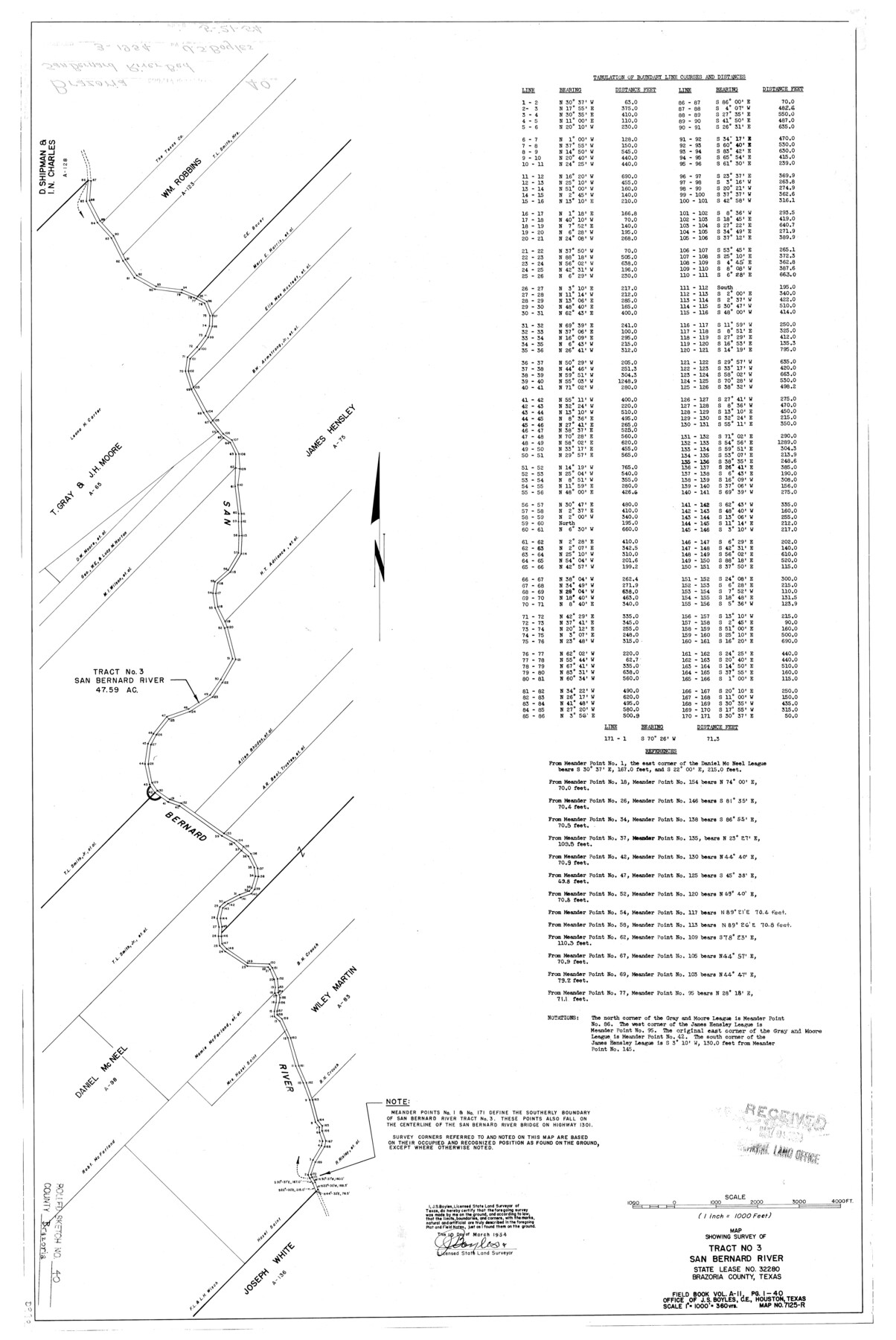
Map showing survey of tract no. 3, San Bernard River State Lease No. 32280, Brazoria County, Texas
- 
                          Map/Doc5175
- 
                            CollectionGeneral Map Collection
- 
                            Object Dates1954/3/10 (Creation Date)1954/5/21 (File Date)
- 
                            People and OrganizationsJ.S. Boyles (Surveyor/Engineer)
- 
                            CountiesBrazoria
- 
                            SubjectsSurveying Rolled Sketch
- 
                            Height x Width32.1 x 21.5 inches81.5 x 54.6 cm
- 
                            Scale1 inch = 1000 feet
Part of: General Map Collection
            Panola County Working Sketch 1


                                            Print $20.00                    
                                             -                         Digital $50.00                                    
                Panola County Working Sketch 1
1917
Map/Doc 71410
            
            Limestone County Working Sketch 4


                                            Print $20.00                    
                                             -                         Digital $50.00                                    
                Limestone County Working Sketch 4
1921
Size 20.2 x 26.3 inches
                                Map/Doc 70554
            
            Kendall County Working Sketch 20


                                            Print $20.00                    
                                             -                         Digital $50.00                                    
                Kendall County Working Sketch 20
1970
Size 37.7 x 44.8 inches
                                Map/Doc 66692
            
            Denton County Sketch File 24


                                            Print $40.00                    
                                             -                         Digital $50.00                                    
                Denton County Sketch File 24
1862
Size 12.2 x 15.1 inches
                                Map/Doc 20750
            
            Hall County Rolled Sketch 5


                                            Print $20.00                    
                                             -                         Digital $50.00                                    
                Hall County Rolled Sketch 5
1914
Size 30.2 x 37.1 inches
                                Map/Doc 6049
            
            Map of Shackelford County, Texas


                                            Print $20.00                    
                                             -                         Digital $50.00                                    
                Map of Shackelford County, Texas
Size 47.3 x 42.8 inches
                                Map/Doc 78398
            
            Flight Mission No. BRA-16M, Frame 130, Jefferson County


                                            Print $20.00                    
                                             -                         Digital $50.00                                    
                Flight Mission No. BRA-16M, Frame 130, Jefferson County
1953
Size 18.5 x 22.5 inches
                                Map/Doc 85740
            
            Andrews County Working Sketch 20


                                            Print $20.00                    
                                             -                         Digital $50.00                                    
                Andrews County Working Sketch 20
1970
Size 43.3 x 39.1 inches
                                Map/Doc 67066
            
            Johnson's Military Map of the United States showing the Forts, Military Posts & all the Military Divisions with enlarged plans of southern harbors


                                            Print $20.00                    
                                             -                         Digital $50.00                                    
                Johnson's Military Map of the United States showing the Forts, Military Posts & all the Military Divisions with enlarged plans of southern harbors
1861
Map/Doc 93947
            
            Hudspeth County Rolled Sketch 77


                                            Print $20.00                    
                                             -                         Digital $50.00                                    
                Hudspeth County Rolled Sketch 77
Size 25.2 x 38.0 inches
                                Map/Doc 6265
            
            Soil Map - Ohio-Michigan, Toledo Set


                                            Print $20.00                    
                                             -                         Digital $50.00                                    
                Soil Map - Ohio-Michigan, Toledo Set
1902
Size 21.4 x 30.5 inches
                                Map/Doc 3023
            
            Kenedy County


                                            Print $20.00                    
                                             -                         Digital $50.00                                    
                Kenedy County
1913
Size 41.0 x 31.8 inches
                                Map/Doc 66888
            You may also like
            Comal County Sketch File 9


                                            Print $4.00                    
                                             -                         Digital $50.00                                    
                Comal County Sketch File 9
1859
Size 13.6 x 8.5 inches
                                Map/Doc 19016
            
            Coke County Rolled Sketch 1


                                            Print $20.00                    
                                             -                         Digital $50.00                                    
                Coke County Rolled Sketch 1
1943
Size 26.9 x 21.6 inches
                                Map/Doc 5503
            
            Rio Grande, Hackney Lake Sheet


                                            Print $4.00                    
                                             -                         Digital $50.00                                    
                Rio Grande, Hackney Lake Sheet
1931
Size 16.6 x 26.8 inches
                                Map/Doc 65123
            
            Sutton County Rolled Sketch 41


                                            Print $20.00                    
                                             -                         Digital $50.00                                    
                Sutton County Rolled Sketch 41
1938
Size 34.5 x 23.3 inches
                                Map/Doc 7883
            
            Shelby County Working Sketch 14


                                            Print $20.00                    
                                             -                         Digital $50.00                                    
                Shelby County Working Sketch 14
1948
Size 28.5 x 22.3 inches
                                Map/Doc 63867
            
            Current Miscellaneous File 8


                                            Print $10.00                    
                                             -                         Digital $50.00                                    
                Current Miscellaneous File 8
Size 14.6 x 9.1 inches
                                Map/Doc 73736
            
            A New, Plaine, and Exact map of America : described by N.I. Visscher, and don into English, enlarged, and corrected, according to I. Blaeu, with the habits of the countries, and the manner of the cheife Citties, the like never before


                                            Print $20.00                    
                                             -                         Digital $50.00                                    
                A New, Plaine, and Exact map of America : described by N.I. Visscher, and don into English, enlarged, and corrected, according to I. Blaeu, with the habits of the countries, and the manner of the cheife Citties, the like never before
1658
Size 16.4 x 20.9 inches
                                Map/Doc 96787
            
            Kinney County Working Sketch 58


                                            Print $20.00                    
                                             -                         Digital $50.00                                    
                Kinney County Working Sketch 58
1996
Size 36.1 x 31.7 inches
                                Map/Doc 70240
            
            General Highway Map.  Detail of Cities and Towns in Nacogdoches County, Texas  [Nacogdoches and vicinity]
            
                                    ![79609, General Highway Map.  Detail of Cities and Towns in Nacogdoches County, Texas  [Nacogdoches and vicinity], Texas State Library and Archives](https://historictexasmaps.com/wmedia_w700/maps/79609.tif.jpg) 


    ![79609, General Highway Map.  Detail of Cities and Towns in Nacogdoches County, Texas  [Nacogdoches and vicinity], Texas State Library and Archives](https://historictexasmaps.com/wmedia_w700/maps/79609.tif.jpg) 
                                
            
                                            Print $20.00                    
                                    
                General Highway Map. Detail of Cities and Towns in Nacogdoches County, Texas [Nacogdoches and vicinity]
1961
Size 19.3 x 25.0 inches
                                Map/Doc 79609
            
            Map of Liberty County


                                            Print $40.00                    
                                             -                         Digital $50.00                                    
                Map of Liberty County
1841
Size 60.1 x 37.3 inches
                                Map/Doc 1951
            
            Houston Ship Channel, Alexander Island to Carpenter Bayou


                                            Print $20.00                    
                                             -                         Digital $50.00                                    
                Houston Ship Channel, Alexander Island to Carpenter Bayou
1975
Size 35.1 x 46.6 inches
                                Map/Doc 69911
            
            Flight Mission No. DQO-1K, Frame 148, Galveston County


                                            Print $20.00                    
                                             -                         Digital $50.00                                    
                Flight Mission No. DQO-1K, Frame 148, Galveston County
1952
Size 18.8 x 22.5 inches
                                Map/Doc 85001
            