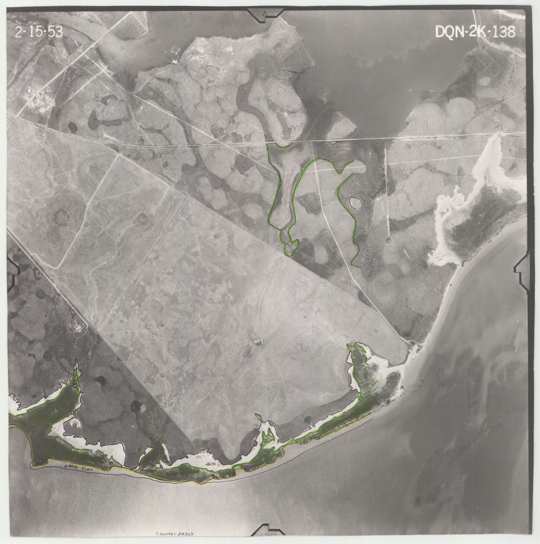
Flight Mission No. DQN-2K, Frame 138, Calhoun County
DQN-2K-138
-
Map/Doc
84307
-
Collection
General Map Collection
-
Object Dates
1953/2/15 (Creation Date)
-
People and Organizations
U. S. Department of Agriculture (Publisher)
-
Counties
Calhoun
-
Subjects
Aerial Photograph
-
Height x Width
16.1 x 16.0 inches
40.9 x 40.6 cm
-
Comments
Flown by Aero Exploration Company of Tulsa, Oklahoma.
Part of: General Map Collection
Jackson County

Print $20.00
- Digital $50.00
Jackson County
1840
Size 33.5 x 26.7 inches
Map/Doc 4505
Montague County Sketch File 20

Print $42.00
- Digital $50.00
Montague County Sketch File 20
1923
Size 34.6 x 19.8 inches
Map/Doc 12106
Blanco County Sketch File 12

Print $20.00
- Digital $50.00
Blanco County Sketch File 12
Size 15.0 x 19.8 inches
Map/Doc 10928
Upton County Rolled Sketch 59

Print $40.00
- Digital $50.00
Upton County Rolled Sketch 59
1994
Size 36.3 x 49.0 inches
Map/Doc 10638
Baylor County Sketch File AA

Print $40.00
- Digital $50.00
Baylor County Sketch File AA
1879
Size 15.9 x 27.9 inches
Map/Doc 10910
Goliad County Working Sketch 11

Print $20.00
- Digital $50.00
Goliad County Working Sketch 11
1941
Size 38.8 x 40.8 inches
Map/Doc 63201
Gaines County Rolled Sketch G3

Print $20.00
- Digital $50.00
Gaines County Rolled Sketch G3
1902
Size 22.7 x 31.4 inches
Map/Doc 5946
King County Working Sketch 9

Print $20.00
- Digital $50.00
King County Working Sketch 9
1955
Size 34.1 x 22.7 inches
Map/Doc 70173
Supreme Court of the United States, October Term, 1924, No. 13, Original - The State of Oklahoma, Complainant vs. The State of Texas, Defendant, The United States, Intervener

Print $20.00
- Digital $50.00
Supreme Court of the United States, October Term, 1924, No. 13, Original - The State of Oklahoma, Complainant vs. The State of Texas, Defendant, The United States, Intervener
1924
Size 19.5 x 32.6 inches
Map/Doc 75112
Amistad International Reservoir on Rio Grande 64

Print $20.00
- Digital $50.00
Amistad International Reservoir on Rio Grande 64
1949
Size 28.4 x 39.6 inches
Map/Doc 73349
Flight Mission No. BQR-3K, Frame 158, Brazoria County

Print $20.00
- Digital $50.00
Flight Mission No. BQR-3K, Frame 158, Brazoria County
1952
Size 18.7 x 22.4 inches
Map/Doc 83985
Flight Mission No. DQO-1K, Frame 151, Galveston County

Print $20.00
- Digital $50.00
Flight Mission No. DQO-1K, Frame 151, Galveston County
1952
Size 18.8 x 22.5 inches
Map/Doc 85004
You may also like

Hunt County Rolled Sketch 3A

Print $40.00
- Digital $50.00
Hunt County Rolled Sketch 3A
1959
Size 23.9 x 52.8 inches
Map/Doc 9241
Kleberg County Rolled Sketch 10-40

Print $20.00
- Digital $50.00
Kleberg County Rolled Sketch 10-40
1952
Size 38.1 x 34.0 inches
Map/Doc 9392
Corpus Christi Harbor

Print $40.00
- Digital $50.00
Corpus Christi Harbor
1976
Size 37.1 x 51.5 inches
Map/Doc 73480
Frio County Rolled Sketch 10

Print $20.00
- Digital $50.00
Frio County Rolled Sketch 10
1945
Size 34.0 x 35.7 inches
Map/Doc 8902
Lavaca County Sketch File 6

Print $2.00
- Digital $50.00
Lavaca County Sketch File 6
Size 7.3 x 3.2 inches
Map/Doc 29641
La Salle County Rolled Sketch 6A

Print $40.00
- Digital $50.00
La Salle County Rolled Sketch 6A
1941
Size 43.5 x 68.2 inches
Map/Doc 10729
General Highway Map, Shelby County, Texas

Print $20.00
General Highway Map, Shelby County, Texas
1961
Size 18.1 x 24.9 inches
Map/Doc 79652
Coryell County

Print $20.00
- Digital $50.00
Coryell County
1936
Size 45.4 x 41.4 inches
Map/Doc 95466
Kenedy County Sketch File 1

Print $68.00
- Digital $50.00
Kenedy County Sketch File 1
1950
Size 14.2 x 8.8 inches
Map/Doc 28739
Maps of Gulf Intracoastal Waterway, Texas - Sabine River to the Rio Grande and connecting waterways including ship channels

Print $20.00
- Digital $50.00
Maps of Gulf Intracoastal Waterway, Texas - Sabine River to the Rio Grande and connecting waterways including ship channels
1966
Size 14.6 x 22.3 inches
Map/Doc 61954
Leon County Sketch File 35-1

Print $28.00
- Digital $50.00
Leon County Sketch File 35-1
1966
Size 14.1 x 8.6 inches
Map/Doc 29836