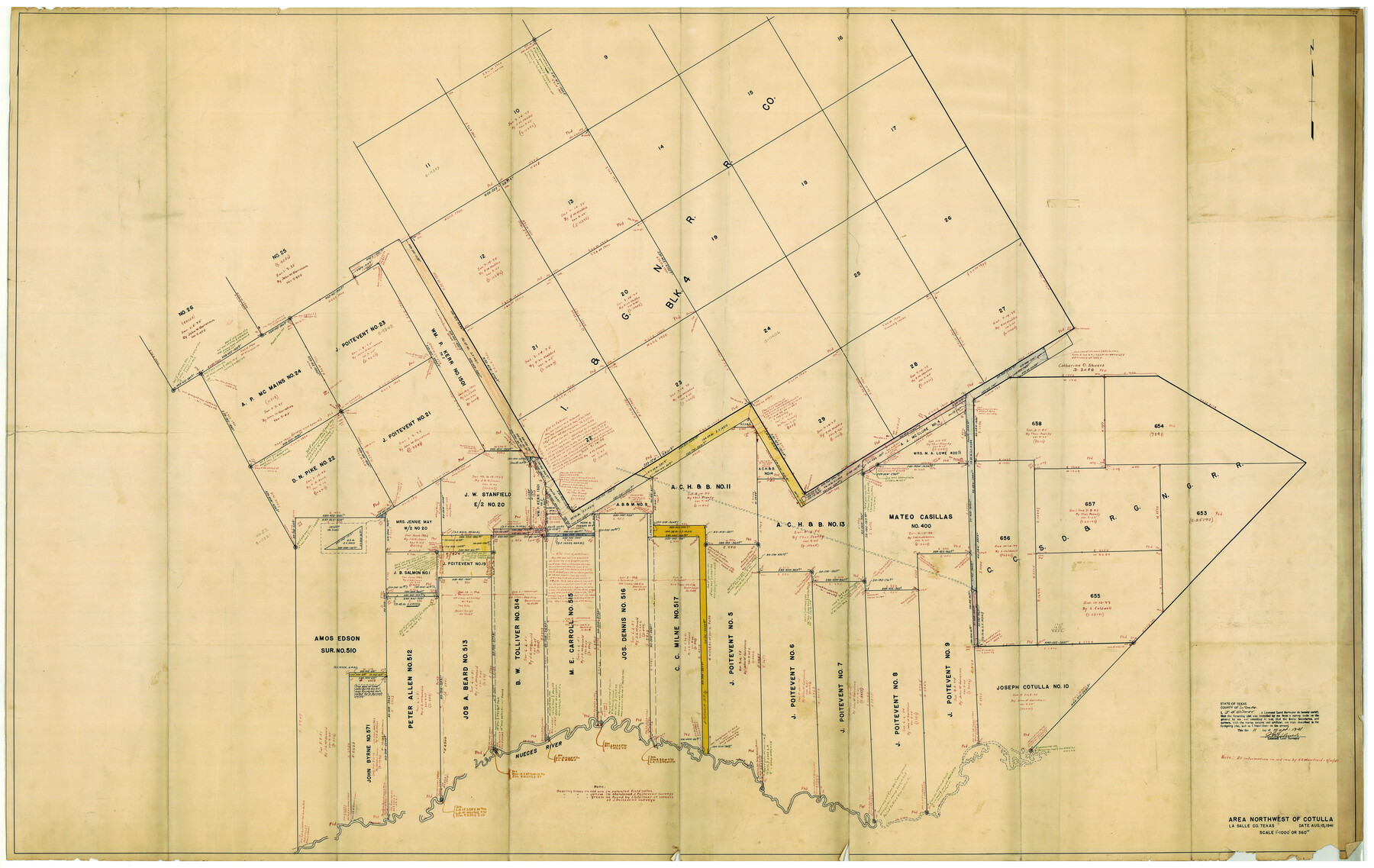
La Salle County Rolled Sketch 6A
Area northwest of Cotulla, La Salle Co., Texas
-
Map/Doc
10729
-
Collection
General Map Collection
-
Object Dates
9/11/1941 (Creation Date)
9/26/1941 (File Date)
-
People and Organizations
J.G. Gilmer (Surveyor/Engineer)
-
Counties
La Salle
-
Subjects
Surveying Rolled Sketch
-
Height x Width
43.5 x 68.2 inches
110.5 x 173.2 cm
-
Medium
blueprint/diazo
-
Scale
1" = 360 varas
-
Comments
See La Salle County Sketch File 47 (29613) for report.
Related maps
La Salle County Sketch File 47

Print $8.00
- Digital $50.00
La Salle County Sketch File 47
1941
Size 14.2 x 8.9 inches
Map/Doc 29613
Part of: General Map Collection
Map of Padre Island Showing Location of Zoning Districts

Print $20.00
- Digital $50.00
Map of Padre Island Showing Location of Zoning Districts
1971
Size 18.8 x 26.7 inches
Map/Doc 4809
Flight Mission No. CUG-2P, Frame 68, Kleberg County

Print $20.00
- Digital $50.00
Flight Mission No. CUG-2P, Frame 68, Kleberg County
1956
Size 18.5 x 22.3 inches
Map/Doc 86205
Crockett County Rolled Sketch 61

Print $20.00
- Digital $50.00
Crockett County Rolled Sketch 61
Size 12.7 x 20.9 inches
Map/Doc 5604
Chambers County Working Sketch 18

Print $20.00
- Digital $50.00
Chambers County Working Sketch 18
1965
Size 39.8 x 29.2 inches
Map/Doc 68001
Anderson County Sketch File 13

Print $10.00
- Digital $50.00
Anderson County Sketch File 13
1856
Size 8.1 x 8.3 inches
Map/Doc 12774
El Paso County Rolled Sketch 42

Print $20.00
- Digital $50.00
El Paso County Rolled Sketch 42
Size 34.5 x 24.5 inches
Map/Doc 5828
Duval County Rolled Sketch 43

Print $20.00
- Digital $50.00
Duval County Rolled Sketch 43
1981
Size 44.3 x 34.7 inches
Map/Doc 8820

Real County Working Sketch 14

Print $20.00
- Digital $50.00
Real County Working Sketch 14
1933
Size 30.2 x 30.5 inches
Map/Doc 71906
Flight Mission No. BRA-9M, Frame 59, Jefferson County

Print $20.00
- Digital $50.00
Flight Mission No. BRA-9M, Frame 59, Jefferson County
1953
Size 18.6 x 22.4 inches
Map/Doc 85642
Uvalde County Sketch File 24

Print $42.00
- Digital $50.00
Uvalde County Sketch File 24
1926
Size 19.4 x 29.9 inches
Map/Doc 12536
Map of Africa (Inset: Liberia and Sierra Leone)

Print $20.00
- Digital $50.00
Map of Africa (Inset: Liberia and Sierra Leone)
1844
Size 9.5 x 12.1 inches
Map/Doc 93549
You may also like
Current Miscellaneous File 28

Print $22.00
- Digital $50.00
Current Miscellaneous File 28
1952
Size 10.7 x 16.3 inches
Map/Doc 73911
Right of Way and Track Map, Texas & New Orleans R.R. operated by the T. & N. O. R.R. Co., Rusk Branch

Print $40.00
- Digital $50.00
Right of Way and Track Map, Texas & New Orleans R.R. operated by the T. & N. O. R.R. Co., Rusk Branch
1918
Size 24.7 x 56.2 inches
Map/Doc 64243
Concho County Sketch File 8 1/2

Print $8.00
- Digital $50.00
Concho County Sketch File 8 1/2
1887
Size 8.4 x 10.6 inches
Map/Doc 19134
Hemphill County Working Sketch 14

Print $20.00
- Digital $50.00
Hemphill County Working Sketch 14
1969
Size 34.0 x 44.8 inches
Map/Doc 66109
Chart of the West Indies and Spanish Dominions in North America

Print $40.00
- Digital $50.00
Chart of the West Indies and Spanish Dominions in North America
Size 49.1 x 75.6 inches
Map/Doc 97153
Wood County Rolled Sketch 8

Print $20.00
- Digital $50.00
Wood County Rolled Sketch 8
1965
Size 22.6 x 34.8 inches
Map/Doc 8286
Terrell County Rolled Sketch 56

Print $20.00
- Digital $50.00
Terrell County Rolled Sketch 56
1986
Size 36.6 x 42.0 inches
Map/Doc 9992

Kaufman County State Real Property Sketch 2

Print $20.00
- Digital $50.00
Kaufman County State Real Property Sketch 2
2007
Size 24.2 x 35.4 inches
Map/Doc 88672
Flight Mission No. DAG-23K, Frame 183, Matagorda County

Print $20.00
- Digital $50.00
Flight Mission No. DAG-23K, Frame 183, Matagorda County
1953
Size 18.5 x 22.3 inches
Map/Doc 86518
Sutton County Working Sketch 68

Print $40.00
- Digital $50.00
Sutton County Working Sketch 68
1972
Size 61.2 x 37.4 inches
Map/Doc 62411
Flight Mission No. CRC-3R, Frame 96, Chambers County

Print $20.00
- Digital $50.00
Flight Mission No. CRC-3R, Frame 96, Chambers County
1956
Size 18.7 x 22.4 inches
Map/Doc 84834