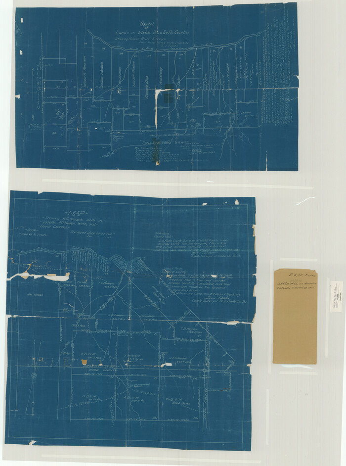
Webb County Sketch File 2 and 2A

La Salle County Sketch File 49
1942

McMullen County Sketch File 30
1884

McMullen County Sketch File 31

La Salle County Rolled Sketch 7

La Salle County Rolled Sketch 24
1955

La Salle County Rolled Sketch 6A
1941
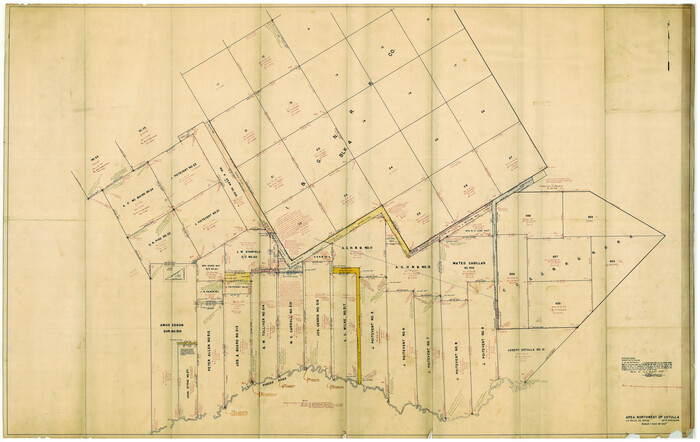
La Salle County Rolled Sketch 6A
1941

La Salle County Rolled Sketch 6
1941

Atascosa County Sketch File 35
1854

Dimmit County Sketch File 44

La Salle County Sketch File 3
1875

La Salle County Sketch File 8
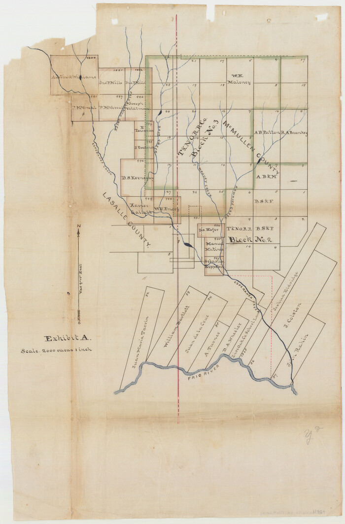
La Salle County Sketch File 20A
1852
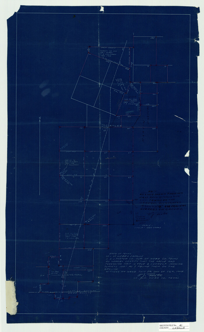
La Salle County Sketch File 41
1918
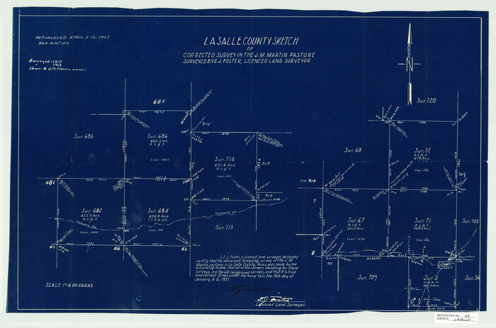
La Salle County Sketch File 43
1937

La Salle County Sketch File 44
1937
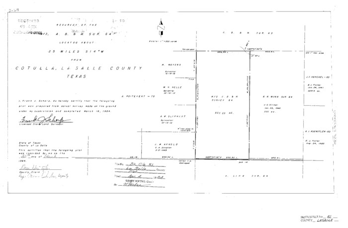
La Salle County Sketch File 51
1984

McMullen County Sketch File 29
1883

Webb County Sketch File B
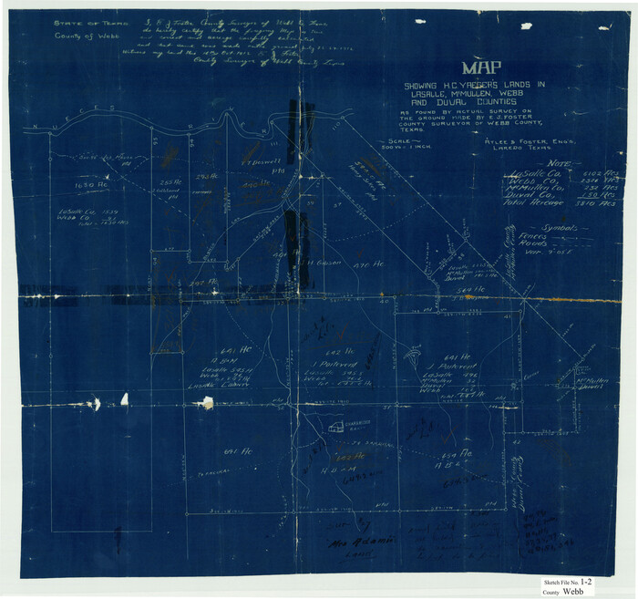
Webb County Sketch File 1-2
1912

Webb County Sketch File 1a
1871
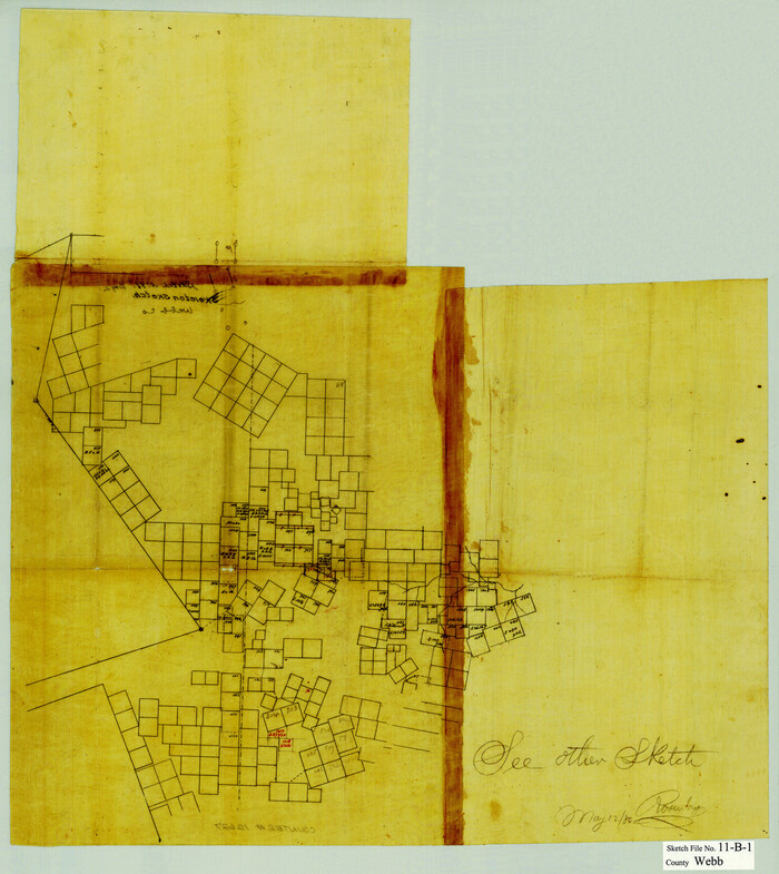
Webb County Sketch File 11b-1
1880
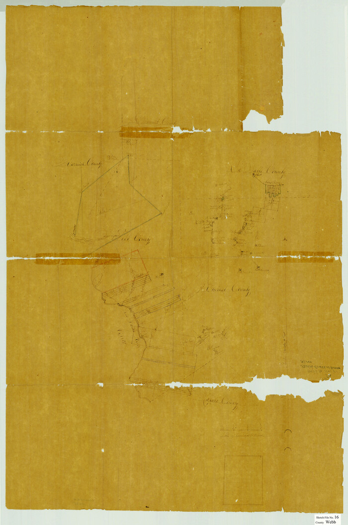
Webb County Sketch File 16

Dimmit County Sketch File 1
1851
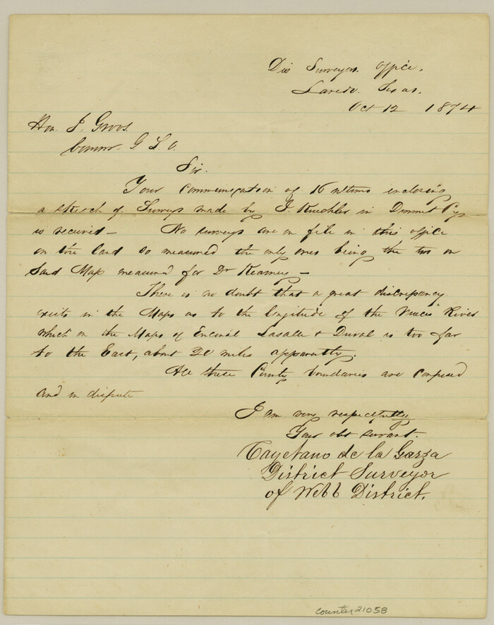
Dimmit County Sketch File 3
1874
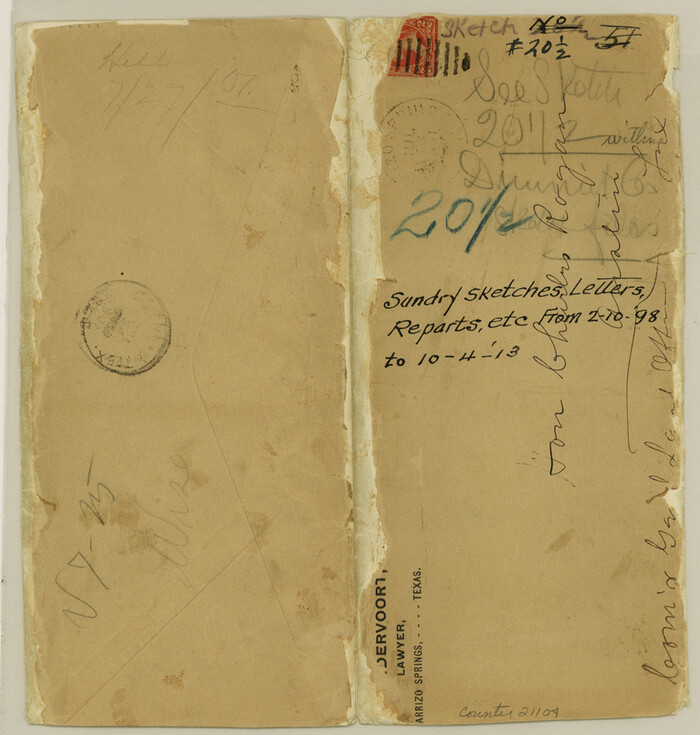
Dimmit County Sketch File 20 1/2
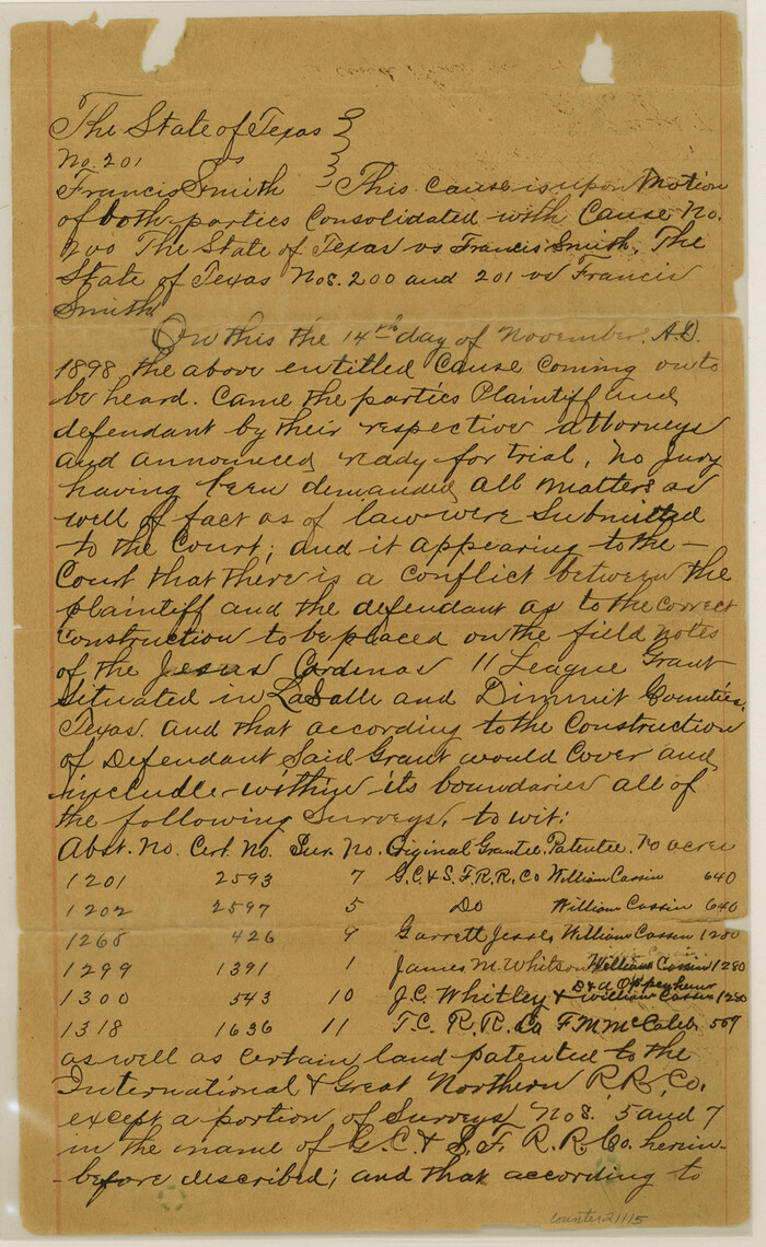
Dimmit County Sketch File 21
1898
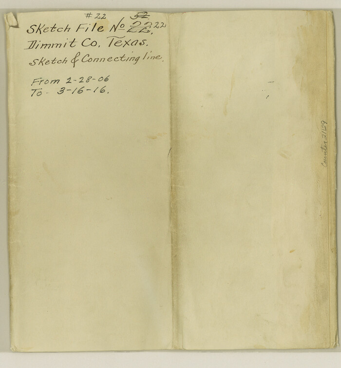
Dimmit County Sketch File 22
1906

Webb County Sketch File 2 and 2A
-
Size
39.8 x 29.6 inches
-
Map/Doc
10428

La Salle County Sketch File 49
1942
-
Size
47.7 x 14.9 inches
-
Map/Doc
10519
-
Creation Date
1942

McMullen County Sketch File 30
1884
-
Size
38.5 x 21.1 inches
-
Map/Doc
10540
-
Creation Date
1884

McMullen County Sketch File 31
-
Size
44.7 x 15.6 inches
-
Map/Doc
10541

La Salle County Rolled Sketch 7
-
Size
38.7 x 48.0 inches
-
Map/Doc
10652

La Salle County Rolled Sketch 24
1955
-
Size
36.7 x 39.4 inches
-
Map/Doc
10655
-
Creation Date
1955

La Salle County Rolled Sketch 6A
1941
-
Size
46.0 x 69.8 inches
-
Map/Doc
10724
-
Creation Date
1941

La Salle County Rolled Sketch 6A
1941
-
Size
43.5 x 68.2 inches
-
Map/Doc
10729
-
Creation Date
1941

La Salle County Rolled Sketch 6
1941
-
Size
43.0 x 66.0 inches
-
Map/Doc
10738
-
Creation Date
1941

Atascosa County Sketch File 35
1854
-
Size
14.4 x 30.0 inches
-
Map/Doc
10866
-
Creation Date
1854

Dimmit County Sketch File 44
-
Size
16.3 x 19.5 inches
-
Map/Doc
11354

La Salle County Sketch File 3
1875
-
Size
15.8 x 29.6 inches
-
Map/Doc
11978
-
Creation Date
1875

La Salle County Sketch File 8
-
Size
27.2 x 19.3 inches
-
Map/Doc
11979

La Salle County Sketch File 20A
1852
-
Size
19.5 x 33.6 inches
-
Map/Doc
11984
-
Creation Date
1852

La Salle County Sketch File 41
1918
-
Size
25.8 x 15.9 inches
-
Map/Doc
11986
-
Creation Date
1918

La Salle County Sketch File 43
1937
-
Size
18.7 x 28.4 inches
-
Map/Doc
11988
-
Creation Date
1937

La Salle County Sketch File 44
1937
-
Size
18.6 x 27.9 inches
-
Map/Doc
11989
-
Creation Date
1937

La Salle County Sketch File 51
1984
-
Size
13.4 x 20.5 inches
-
Map/Doc
11990
-
Creation Date
1984

McMullen County Sketch File 29
1883
-
Size
35.8 x 15.4 inches
-
Map/Doc
12062
-
Creation Date
1883

Webb County Sketch File B
-
Size
15.9 x 13.7 inches
-
Map/Doc
12605

Webb County Sketch File 1-2
1912
-
Size
21.2 x 22.6 inches
-
Map/Doc
12611
-
Creation Date
1912

Webb County Sketch File 1a
1871
-
Size
23.3 x 18.0 inches
-
Map/Doc
12623
-
Creation Date
1871

Webb County Sketch File 11b-1
1880
-
Size
21.7 x 19.3 inches
-
Map/Doc
12627
-
Creation Date
1880

Webb County Sketch File 16
-
Size
37.1 x 24.5 inches
-
Map/Doc
12635
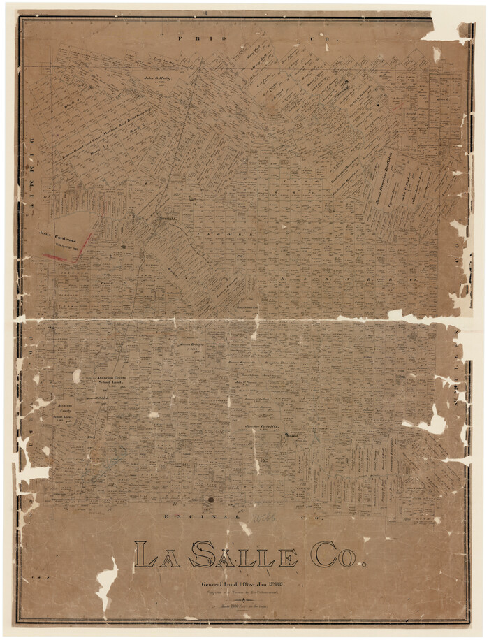
La Salle Co.
1895
-
Size
56.2 x 43.3 inches
-
Map/Doc
16871
-
Creation Date
1895

Dimmit County Sketch File 1
1851
-
Size
8.8 x 7.5 inches
-
Map/Doc
21050
-
Creation Date
1851

Dimmit County Sketch File 3
1874
-
Size
10.1 x 8.0 inches
-
Map/Doc
21058
-
Creation Date
1874

Dimmit County Sketch File 20 1/2
-
Size
9.0 x 8.6 inches
-
Map/Doc
21104

Dimmit County Sketch File 21
1898
-
Size
14.4 x 8.8 inches
-
Map/Doc
21115
-
Creation Date
1898

Dimmit County Sketch File 22
1906
-
Size
9.3 x 8.6 inches
-
Map/Doc
21129
-
Creation Date
1906